
One of the more adventurous ways to escape for some Canberra gravel riding is Pipe Flat Road, which follows the Molonglo River (and the sewerage pipe!). Currently less used than most of Canberra’s nature reserves, this is likely to change as the Molonglo Valley (in particularly Whitlam) is built. Whilst Pipe Flat Road itself is excellent for a gravel bike, adding to the start and end with some mountain bike sections allows for an end-to-end journey from Scrivener Dam pretty much all the way to the Murrumbidgee River and then up to the western edge of Belconnen. If you are up for some mountain biking and even some short high-a-bike it is a worthwhile adventure.
Scrivener to Coppins Crossing
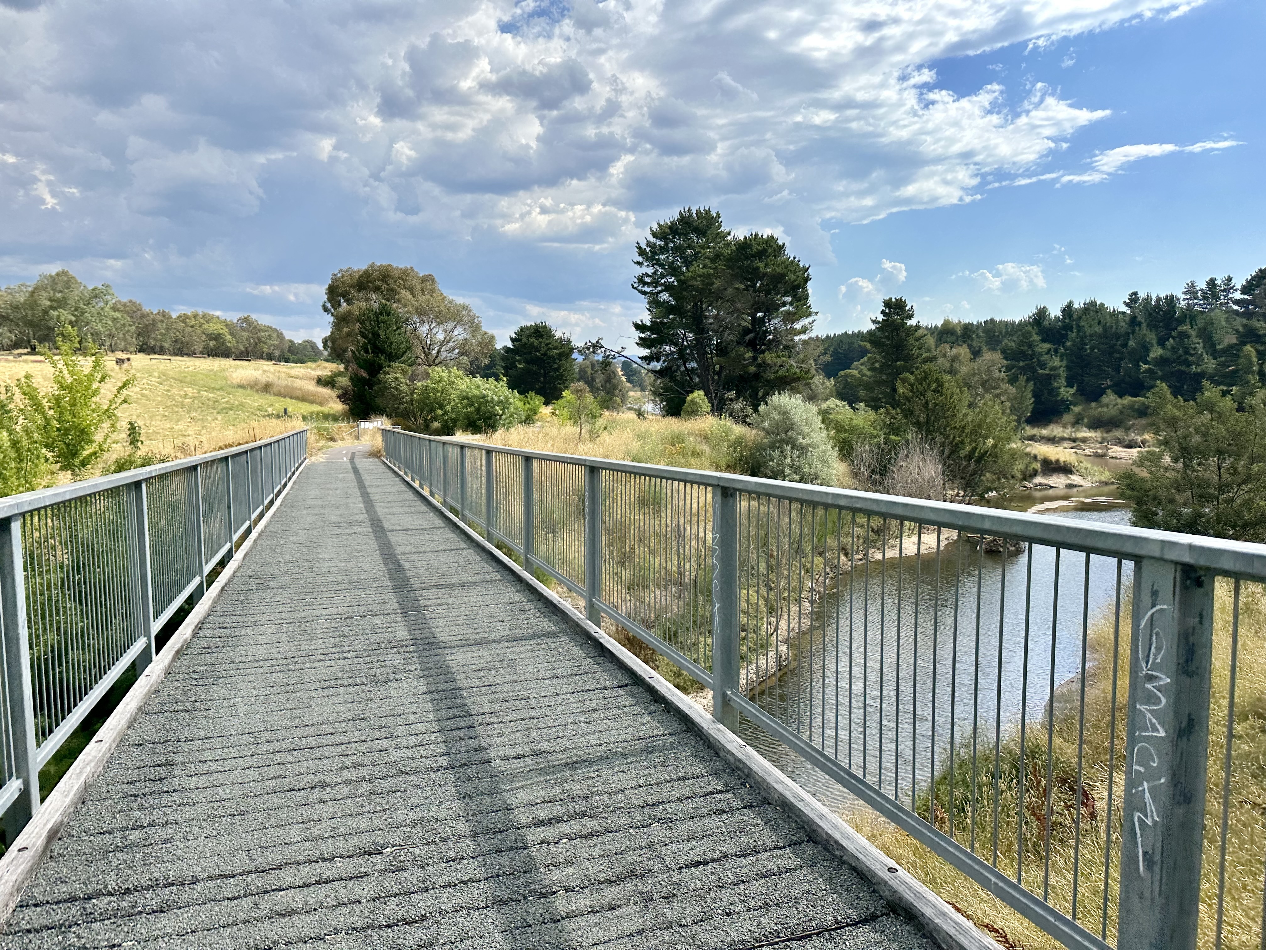
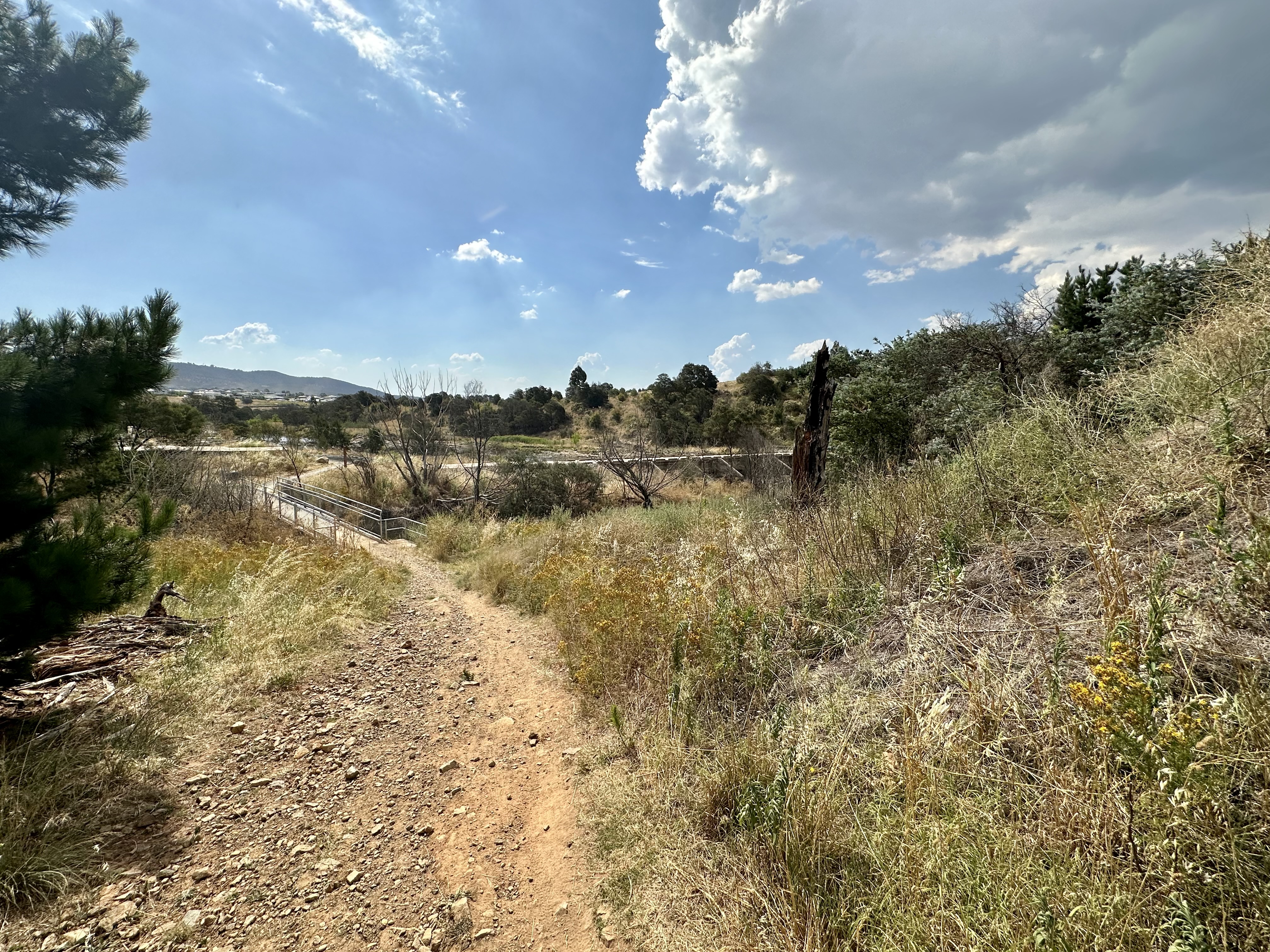
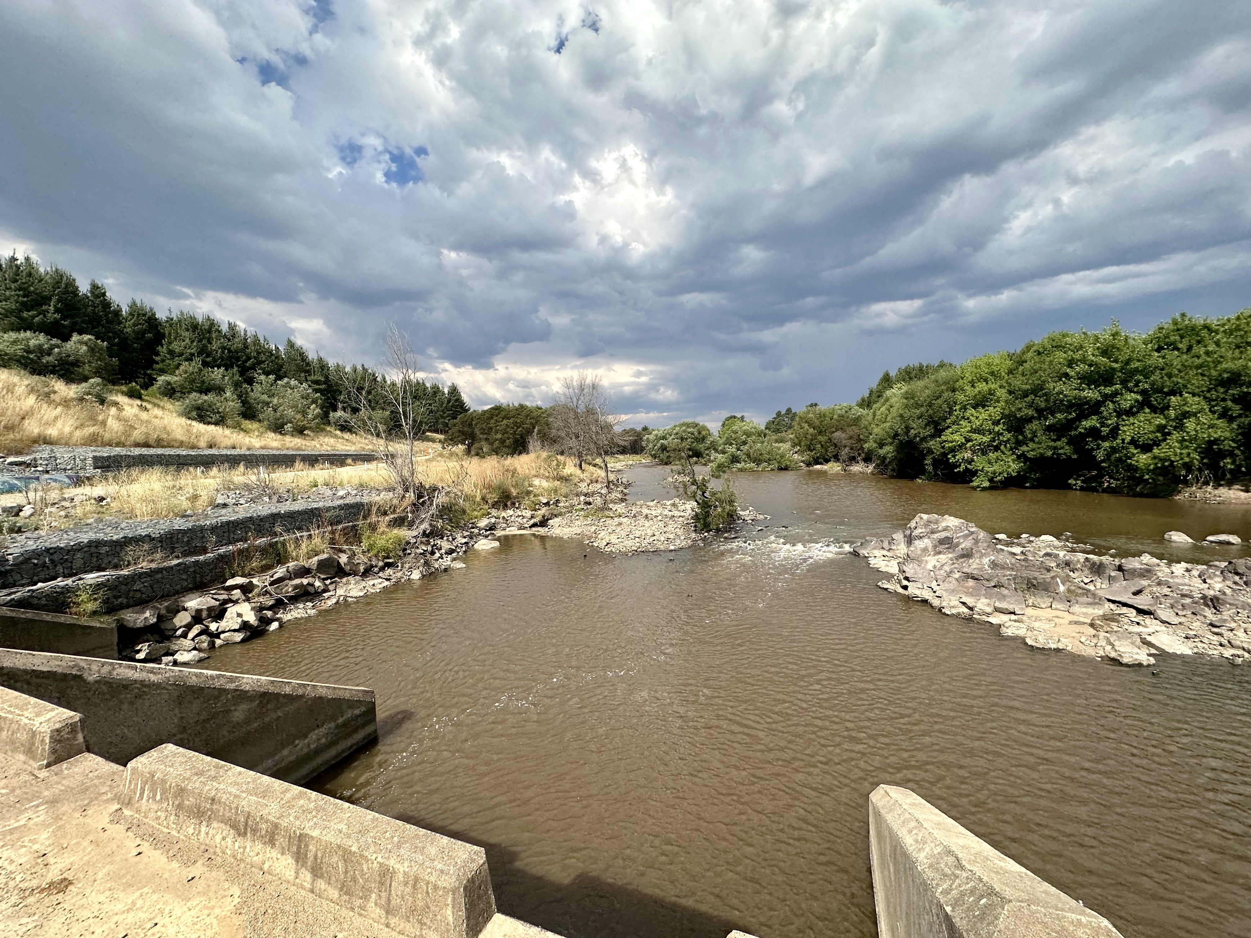
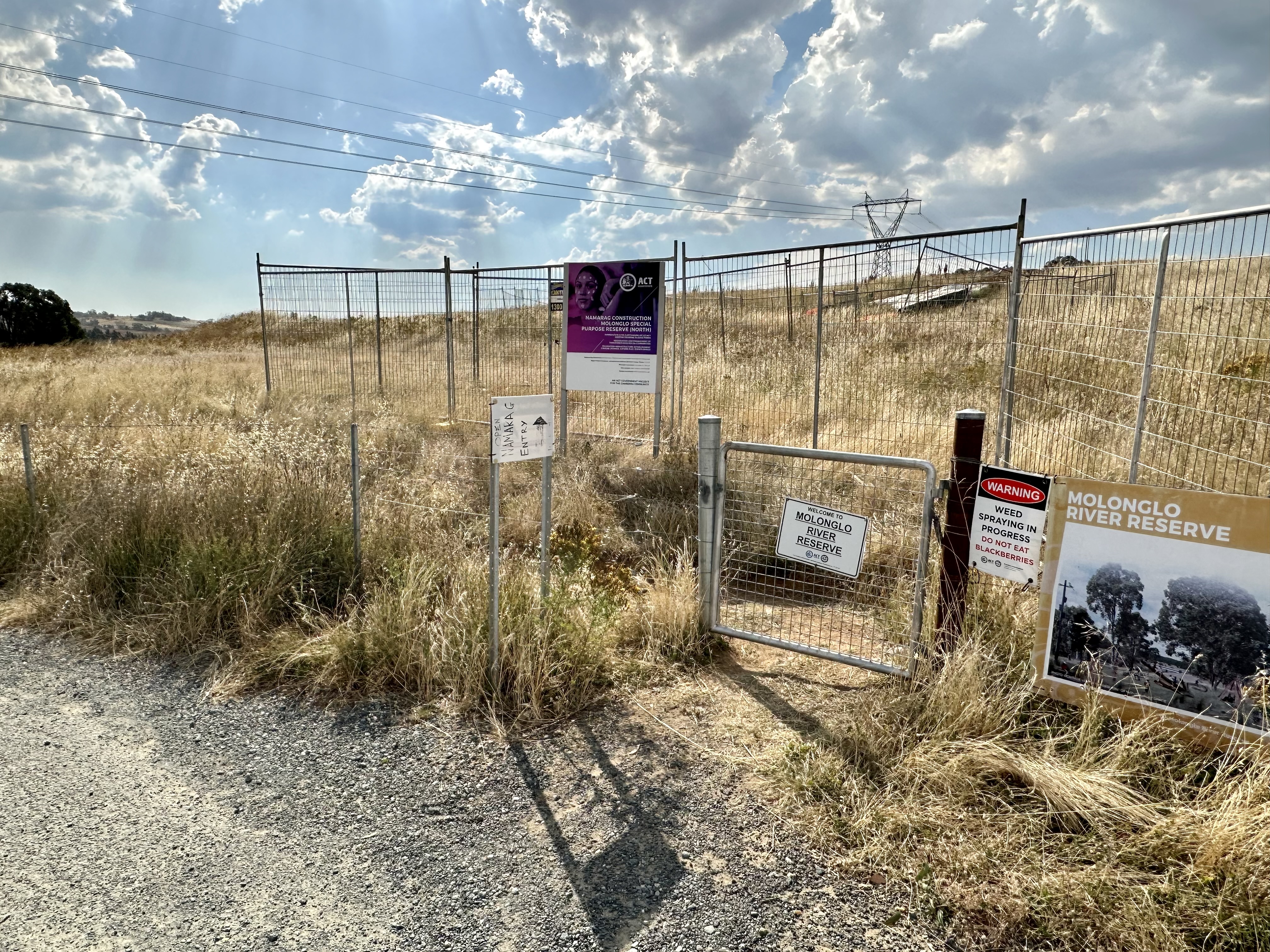
Starting on the Lake Burley Griffin circuit, this route heads down the “C5 cycleway” parallel to the Molonglo’s flow from the lake. It is possible to cross sooner than this route (see Molonglo River Reserve), but it doesn’t take much rain for this to be impassable. Continuing on to the Bicentennial National Trail bridge crossing is an “all weather” option except for the most extreme situations.
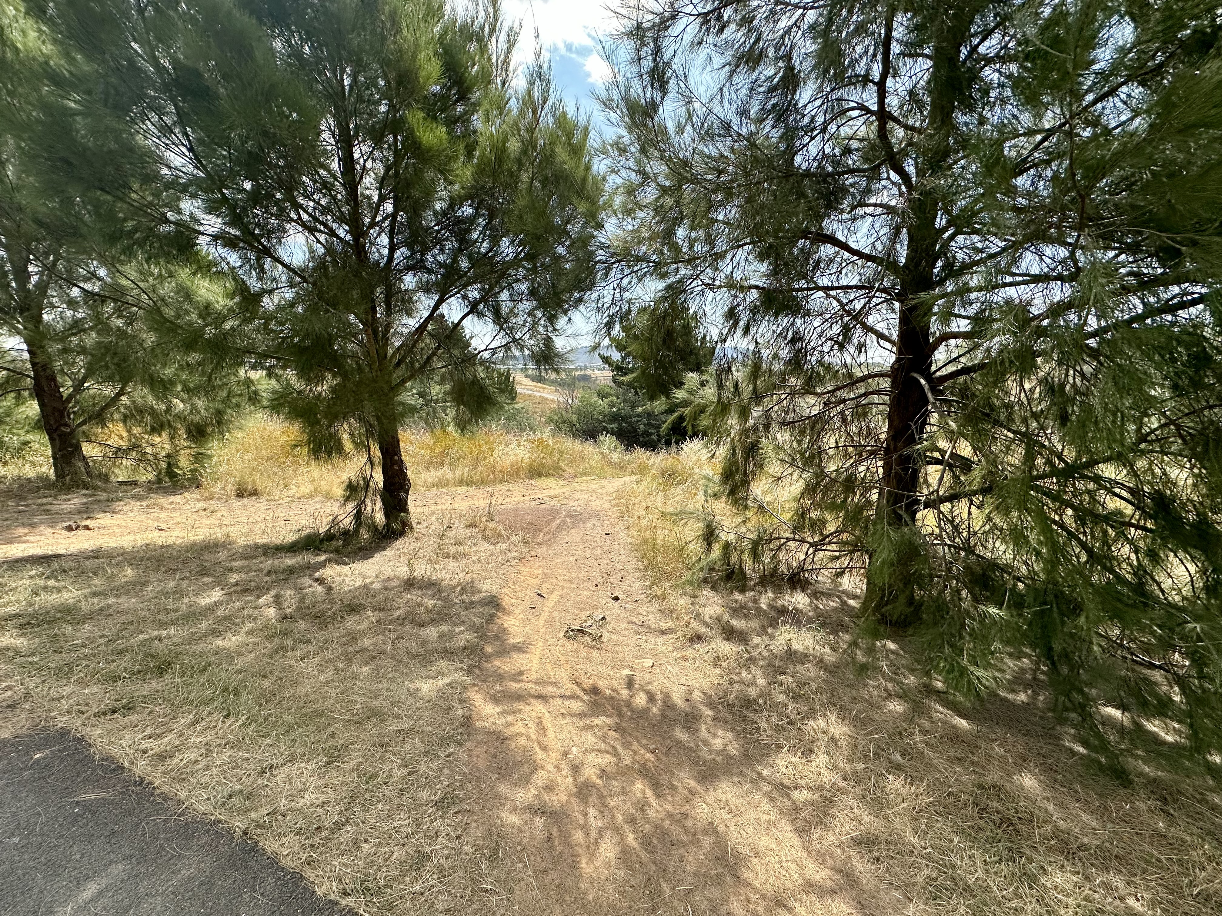
Getting to the bridge requires continuing on the cycle path beyond where it heads left (actually this means staying on the original route!), and then exiting to descend a slightly technical trail that is easy to miss if you don’t know what you are looking for. After a short bridge crossing of Weston Creek, it is easy to head over the Molonglo and onto the main river-side trail.
Unfortunately, these river-side trails suffer from a severe lack of maintenance and illustrate why a mountain bike is now the best option for cycling here. The trail is often deeply rutted, sandy in patches, and rocky in others.
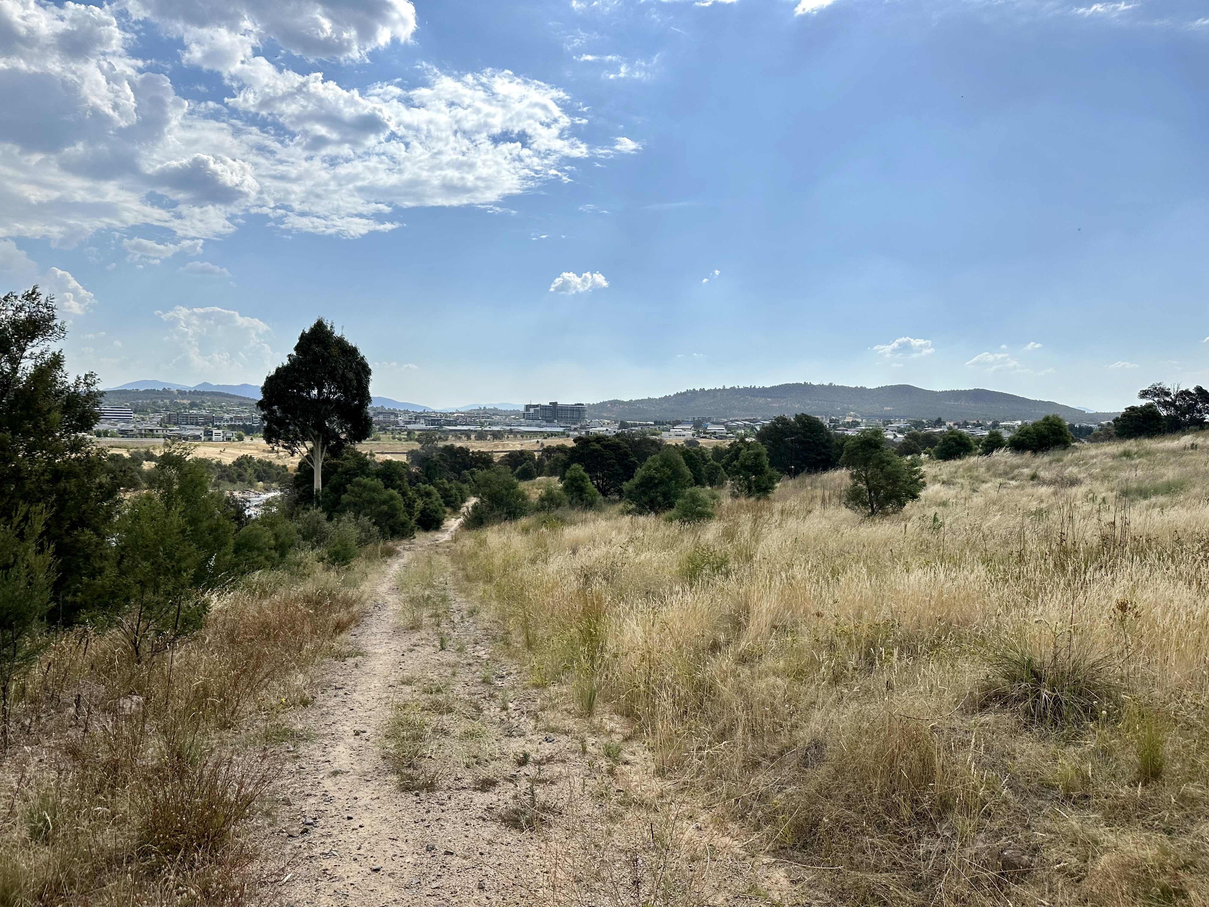
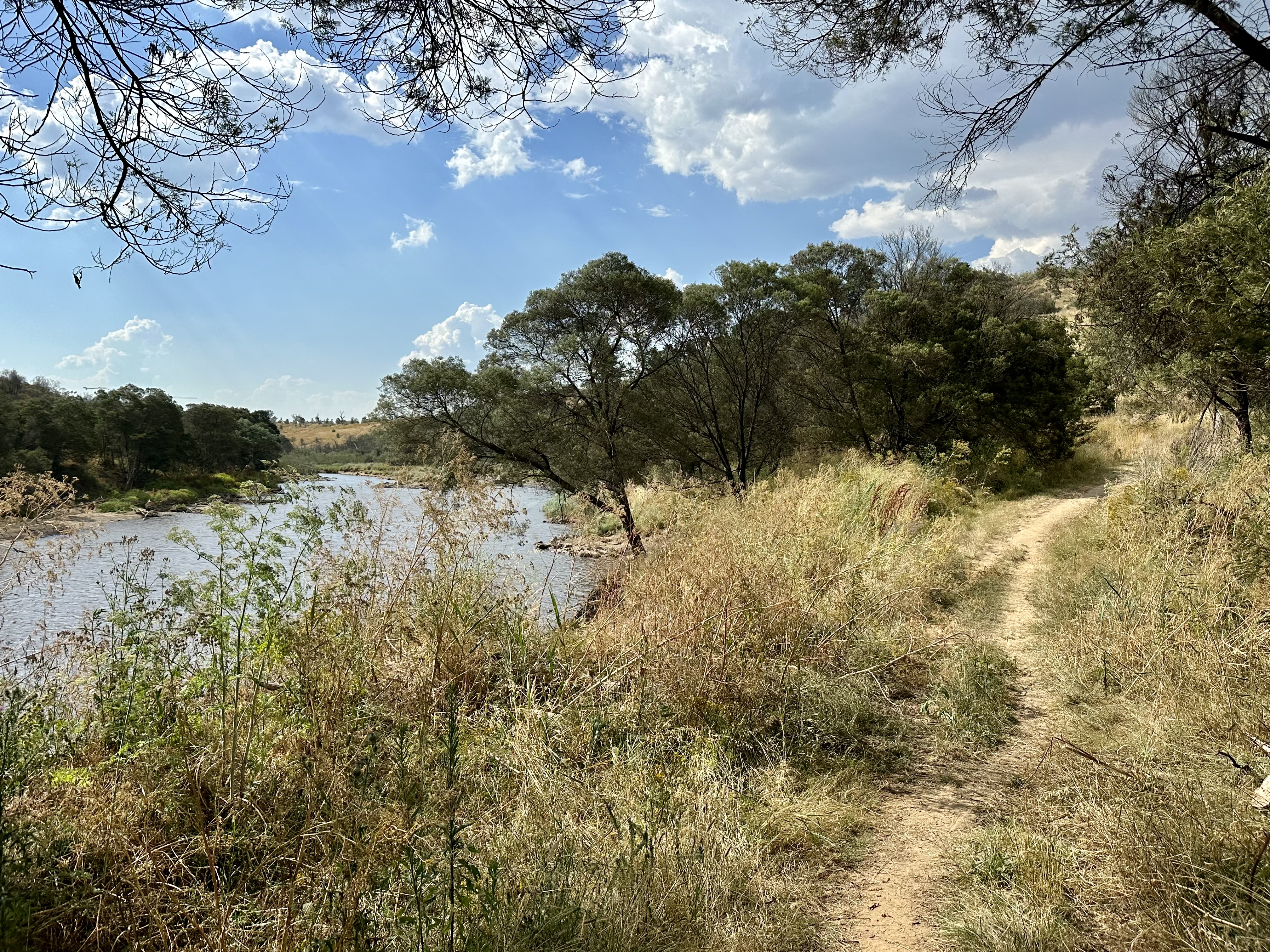
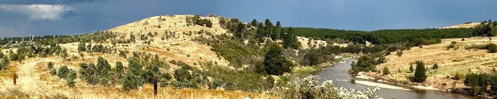
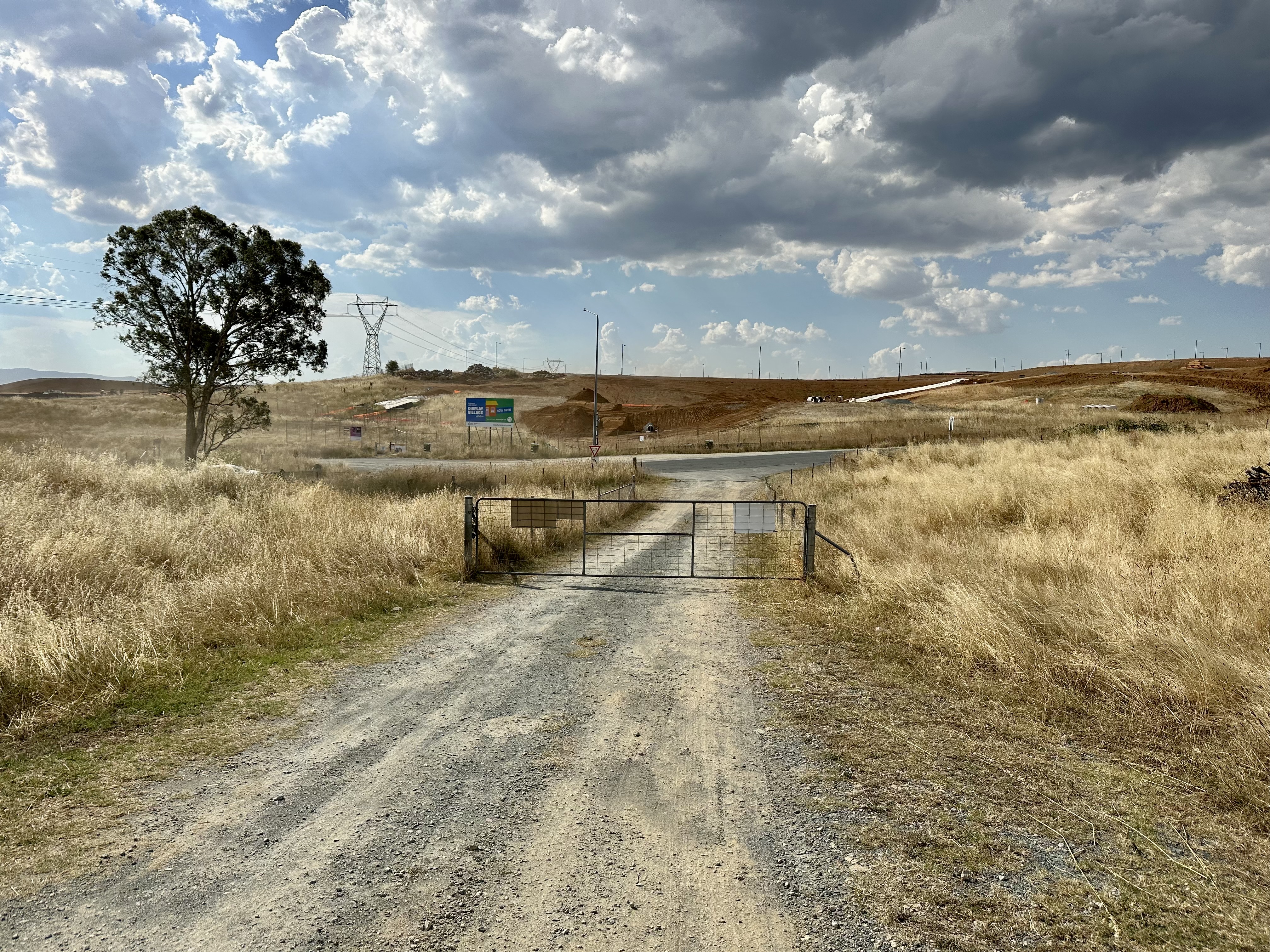
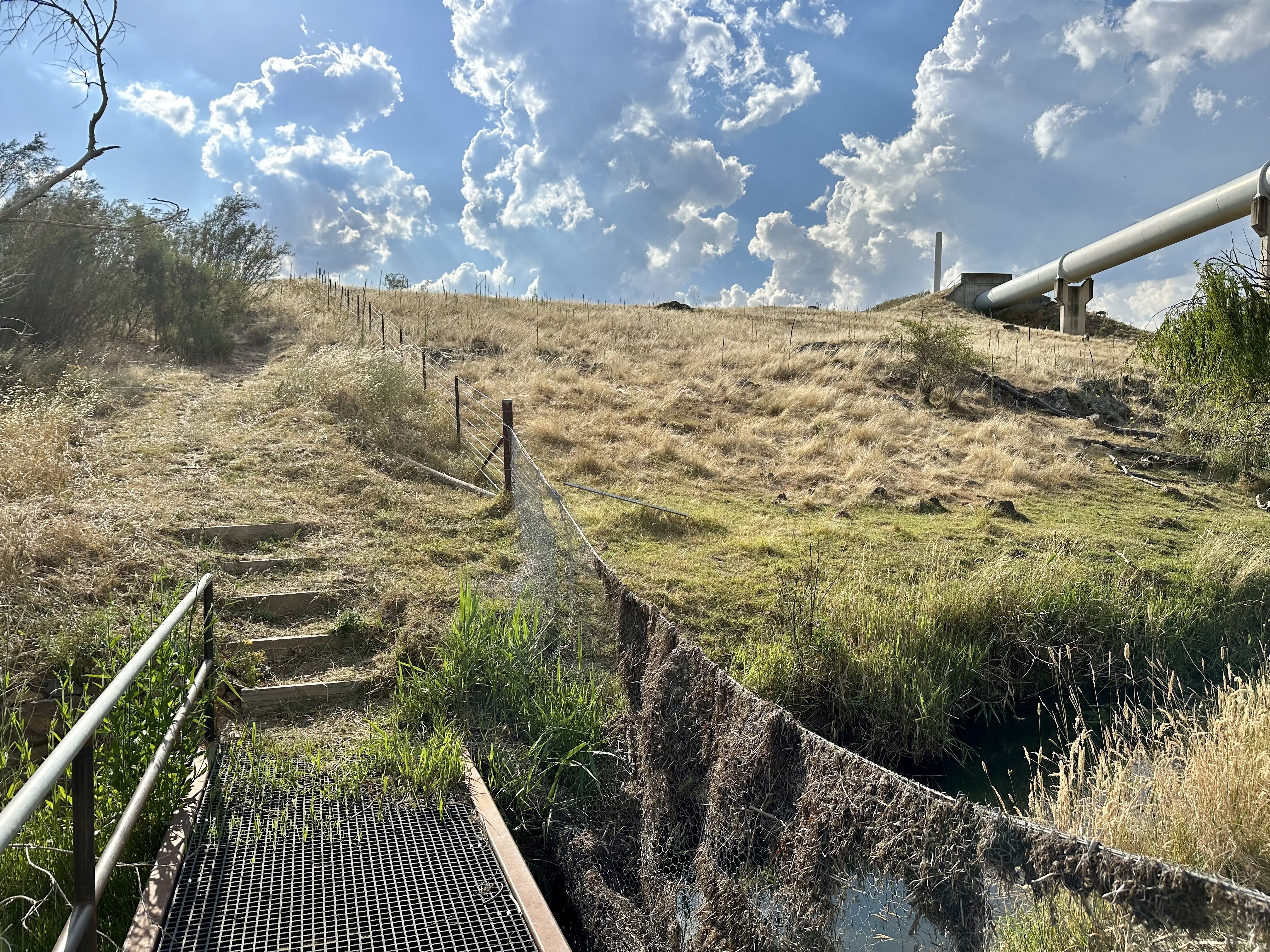
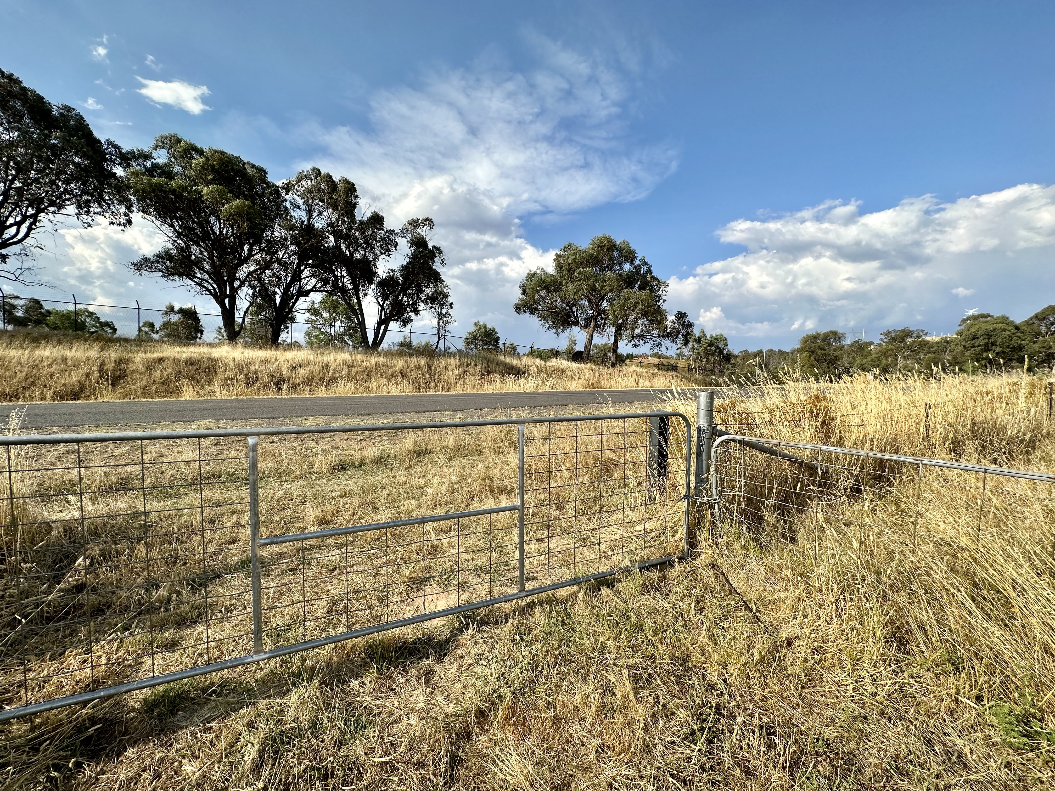
Things improve considerably around Barrer Hill, and the track out to Misery Point is a worthwhile diversion. When you’ve had a look (or after heading past) it is a quick descent and cycle around to the first gate of the trip.
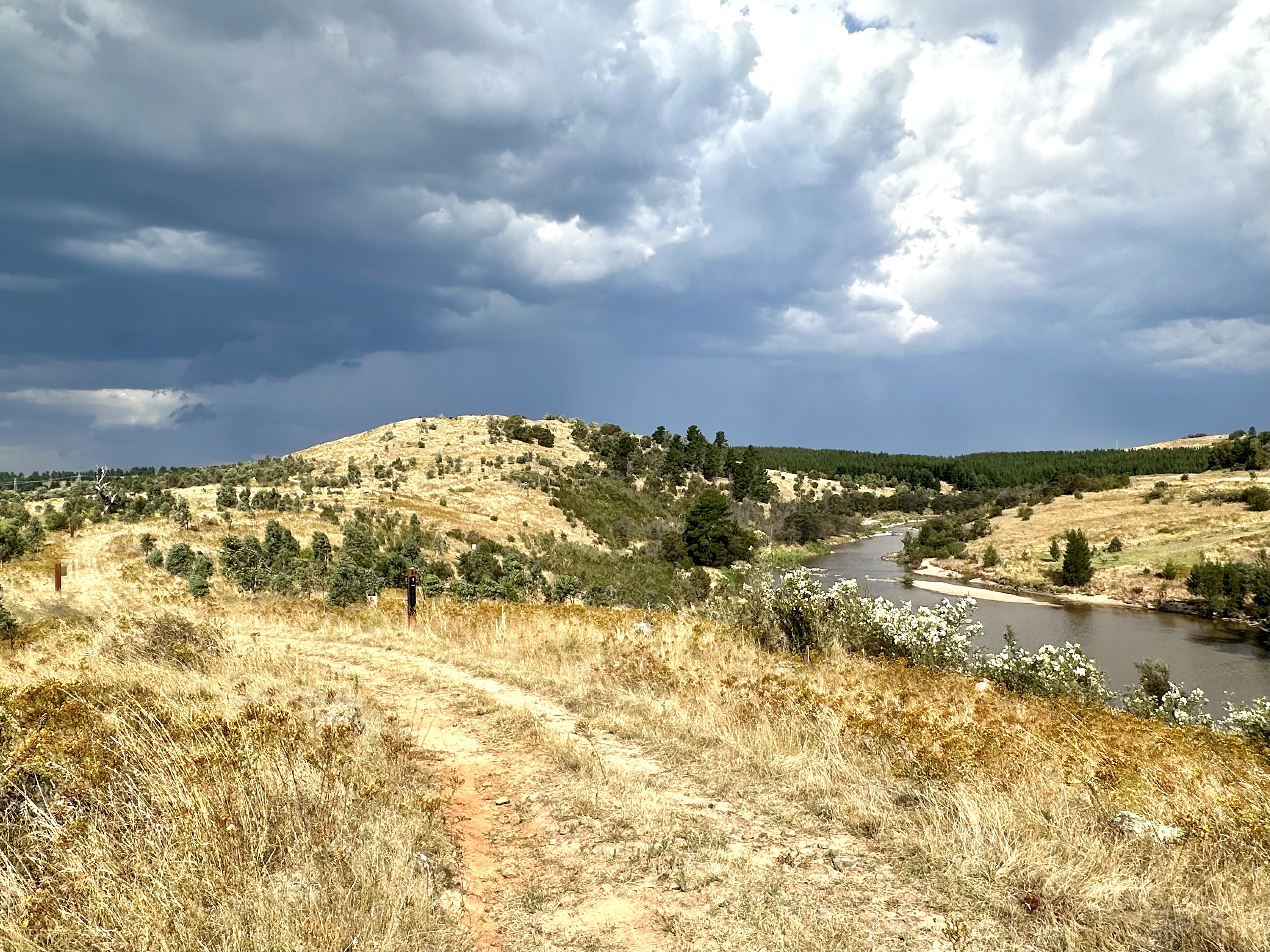
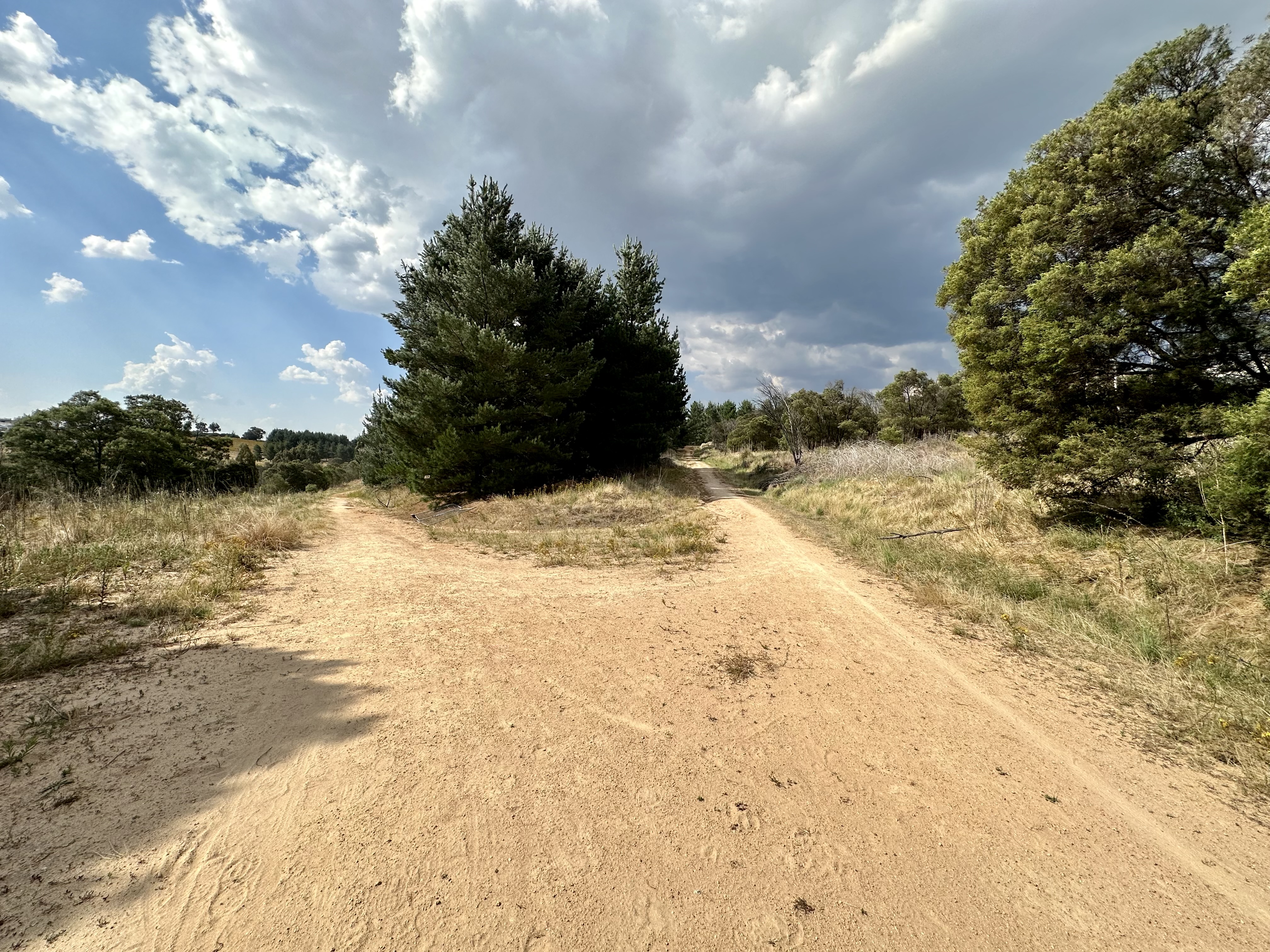
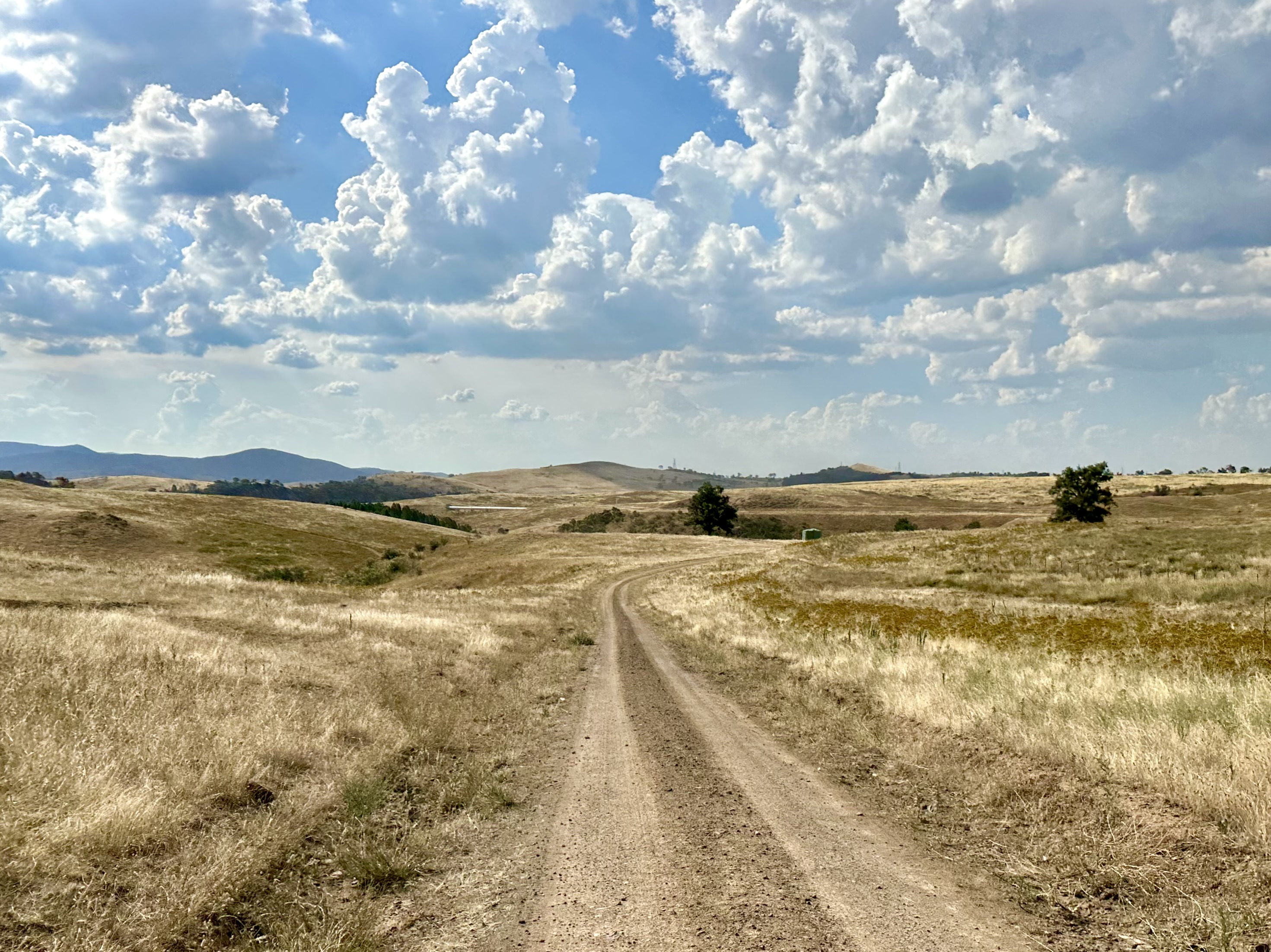
Across the gate you quickly are on Pipe Flat Road, and this is proper gravel road territory. Whilst you may have to contend with cattle on route, this road provides emergency access to the Arboretum and is therefore well maintained.
Coppins Crossing to “Gate of Mordor”
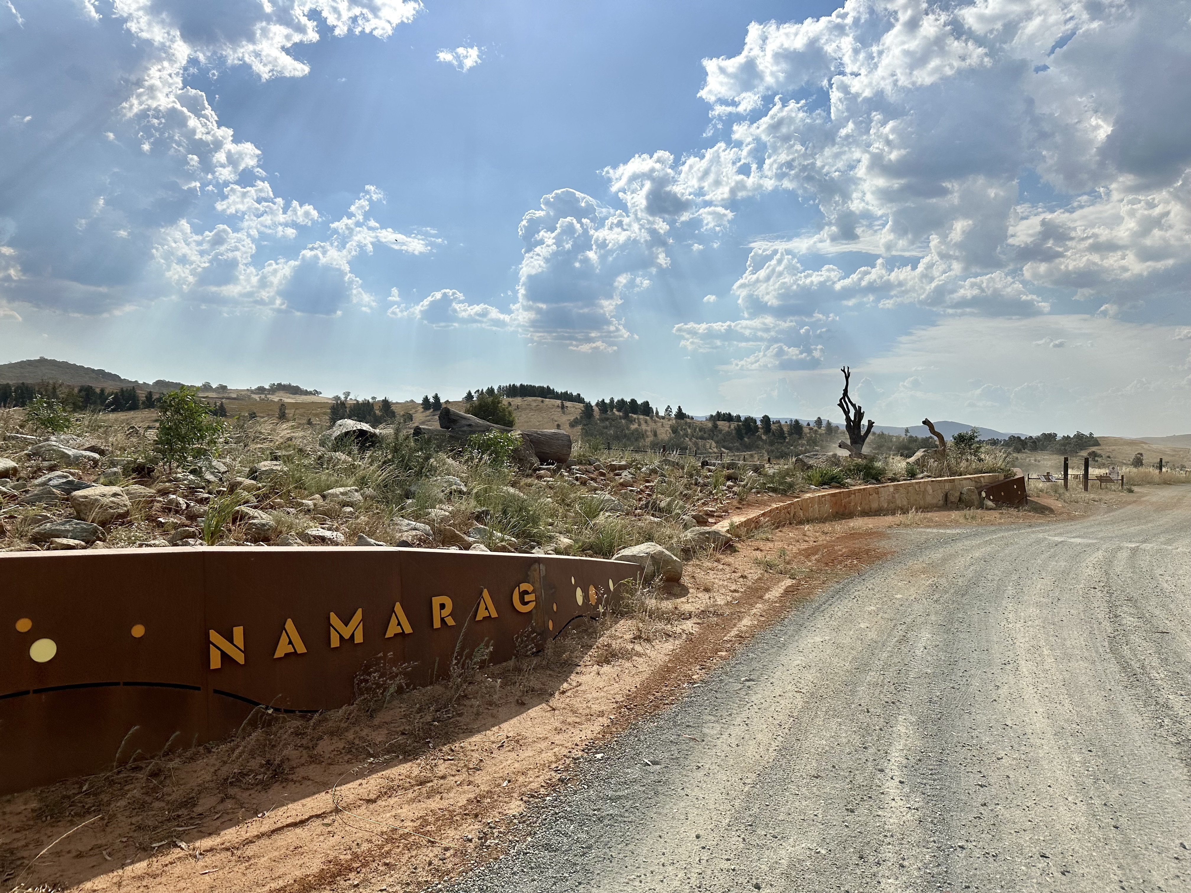
The rapidly changing sections of Pipe Flat Road near Whitlam continue in a similar style to the road prior to Coppins Crossing Road. After crossing the asphalt, the next gate now has a hinged pedestrian-style option that removes any need for lifting your bike. Shortly after here you arrive at the Namarag reserve, which is worth a look around if you have time (particularly the views down near Butters Bridge).
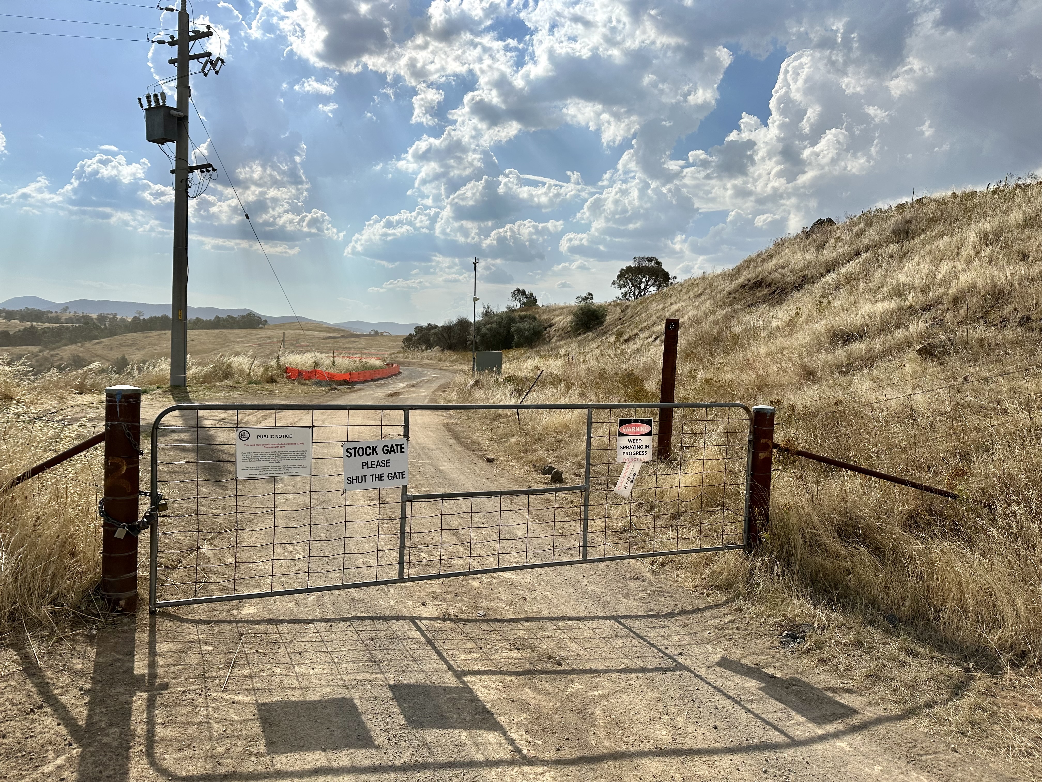
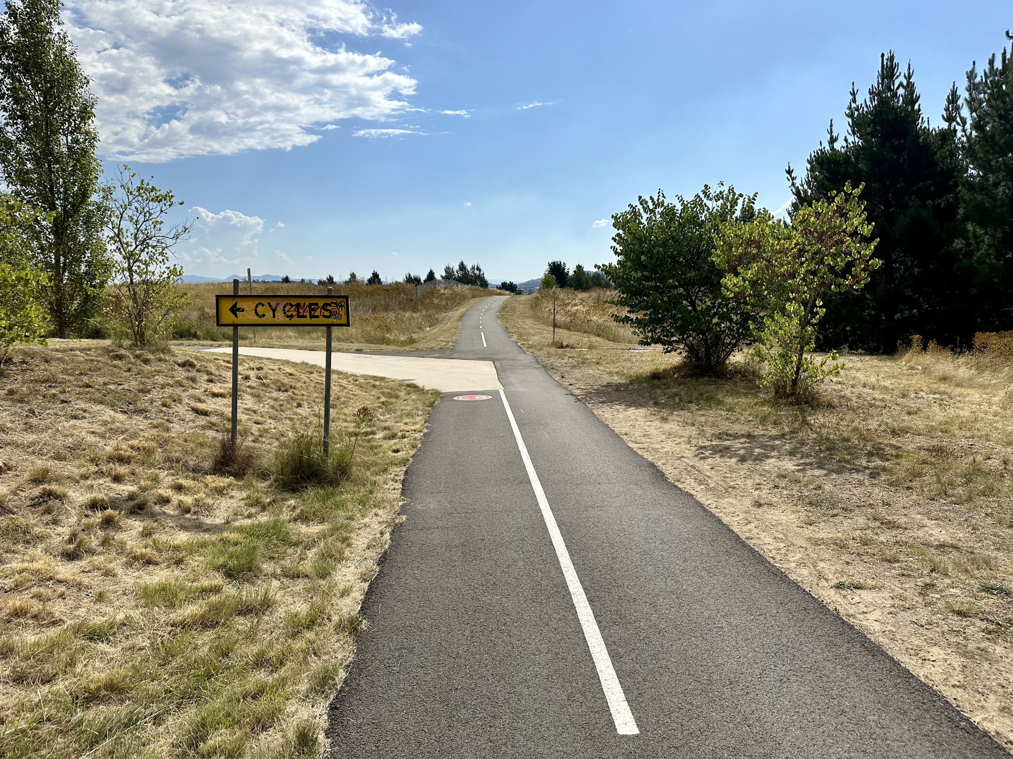
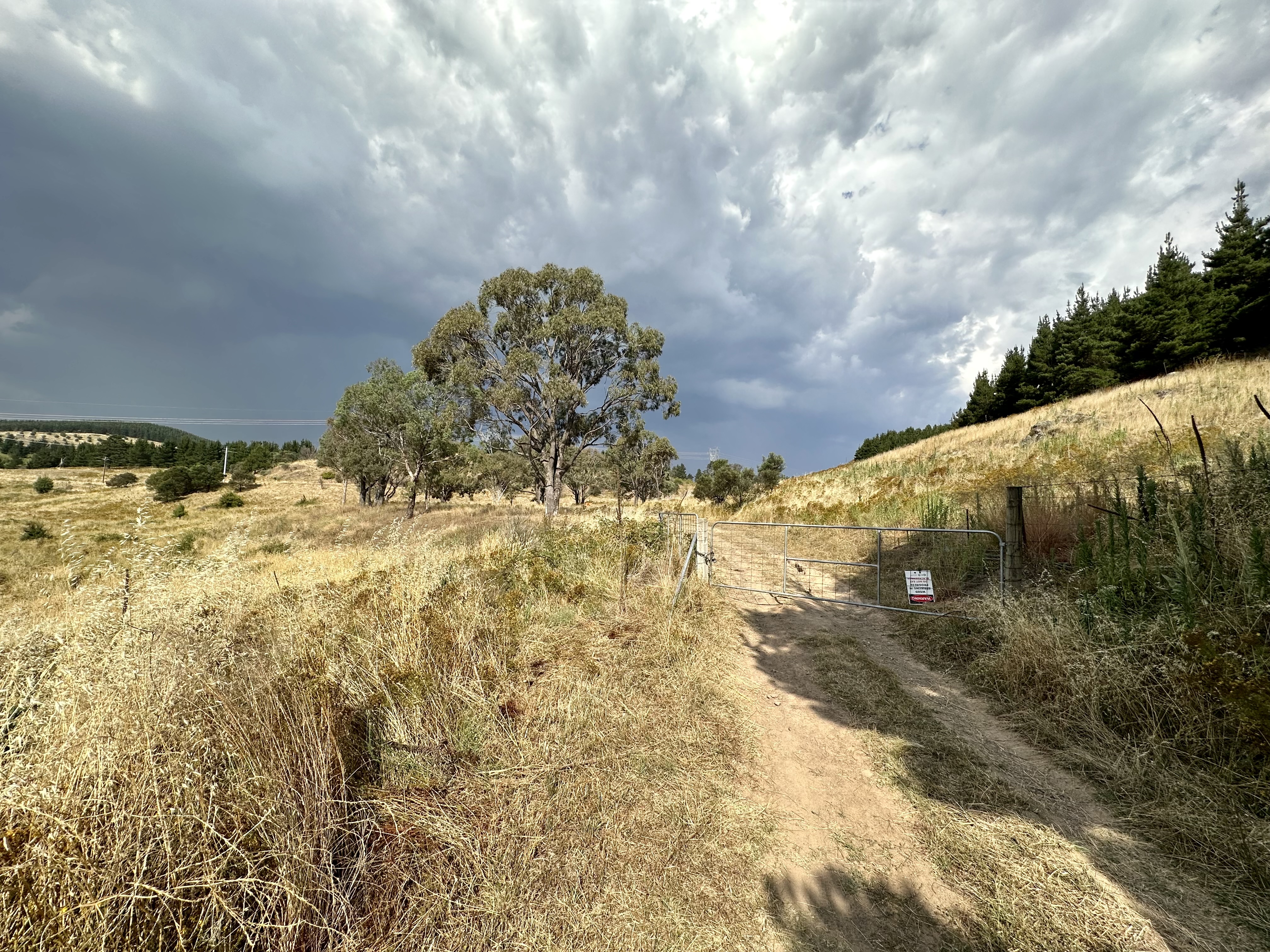
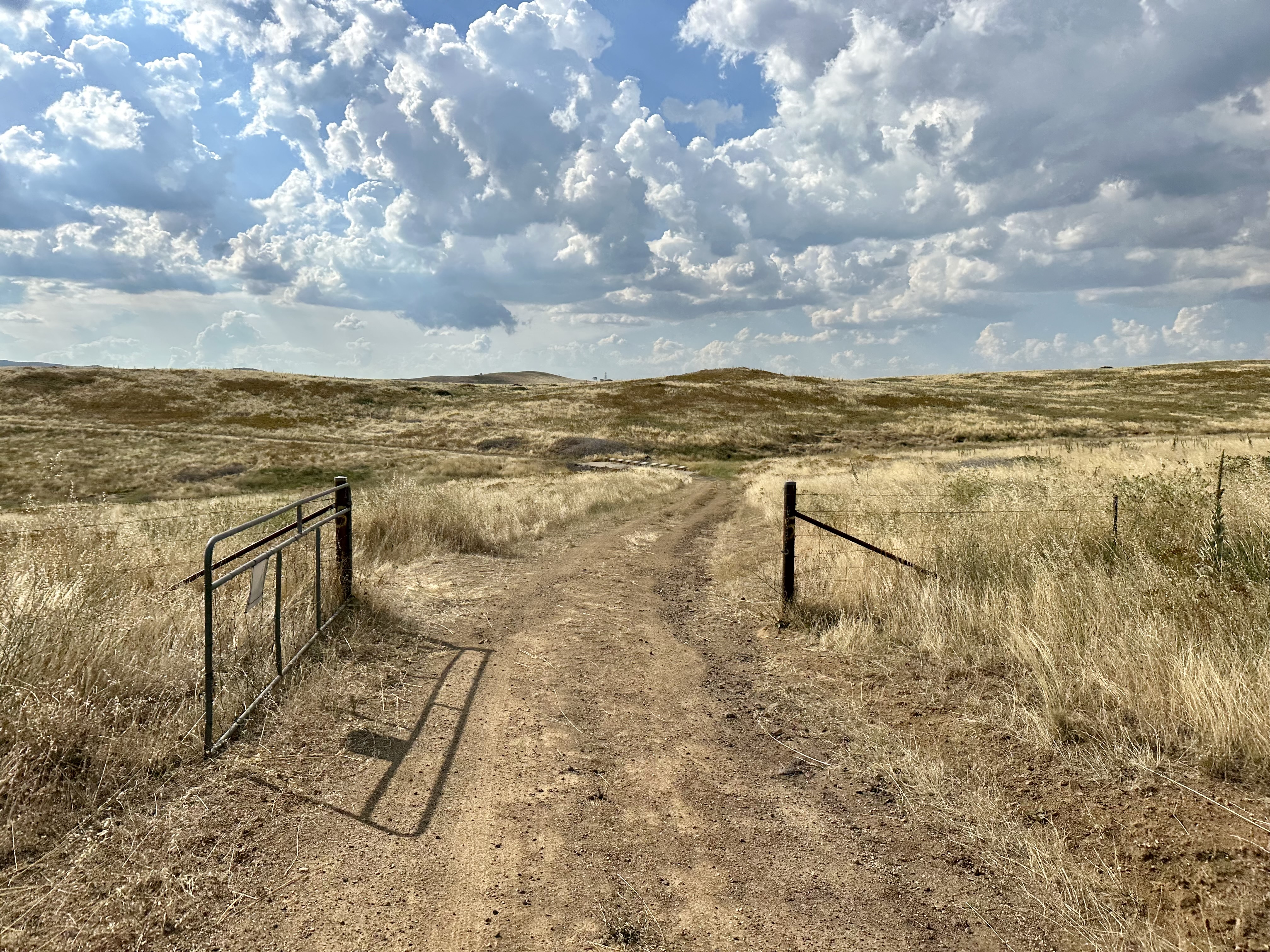
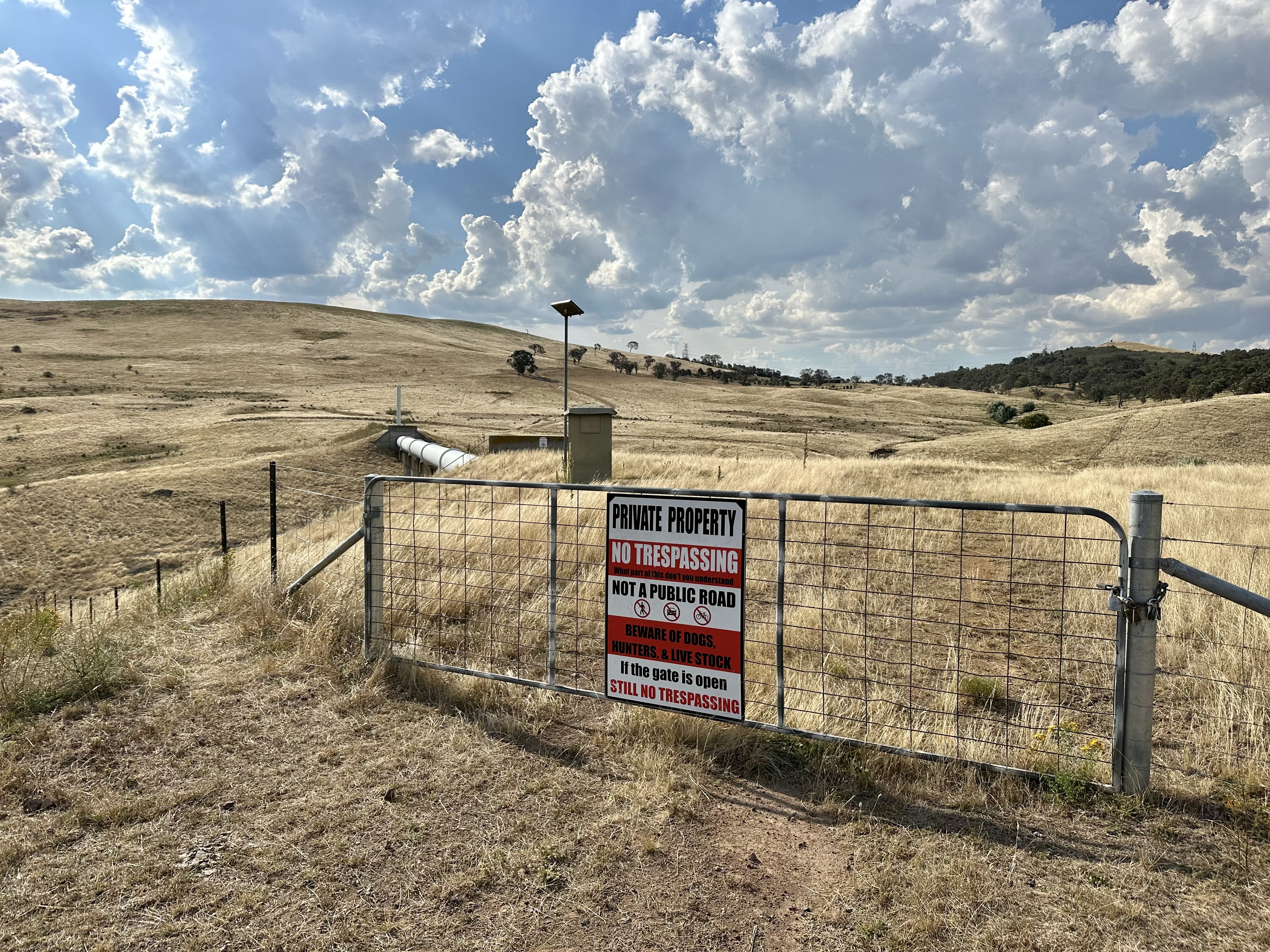
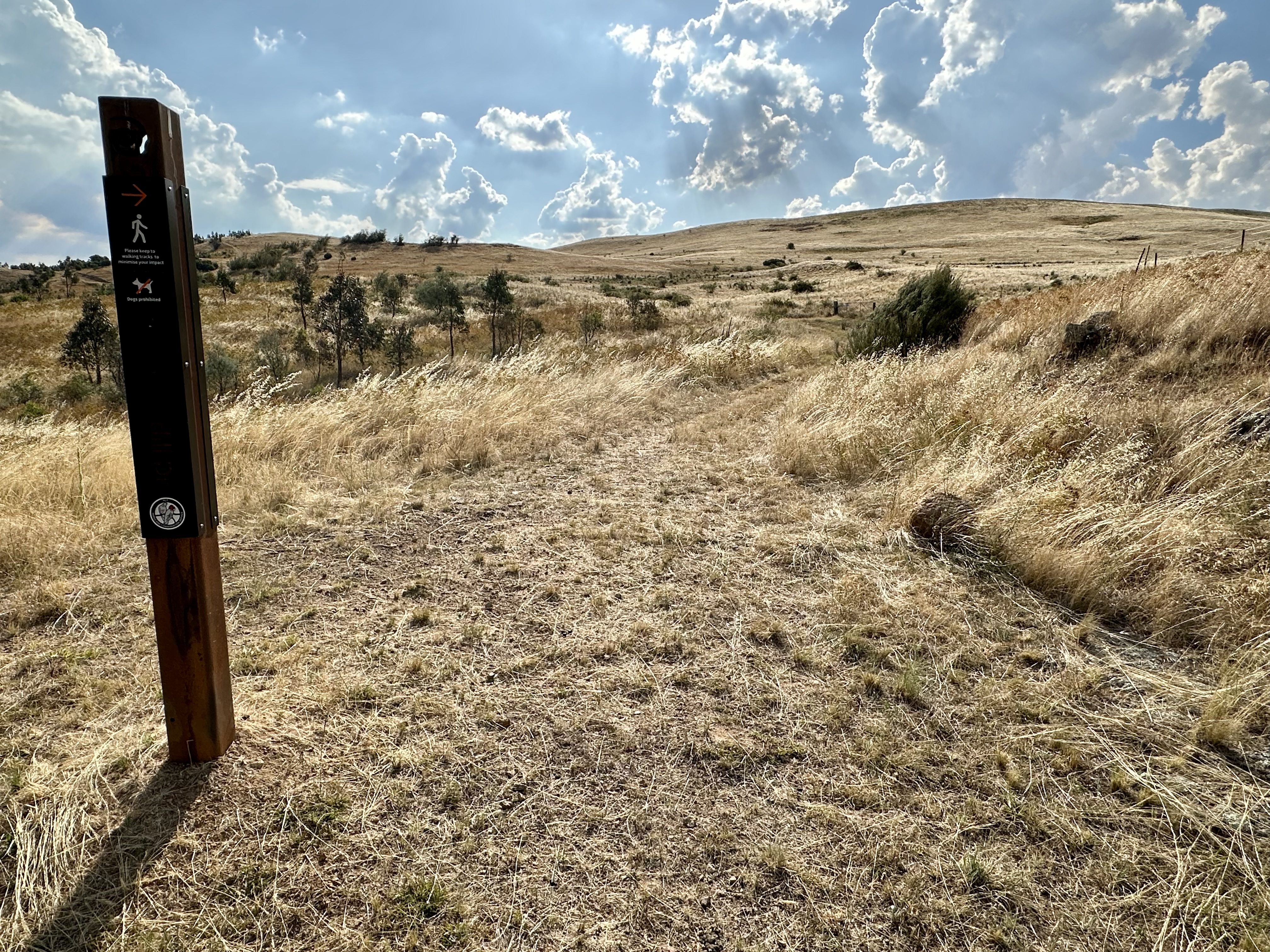
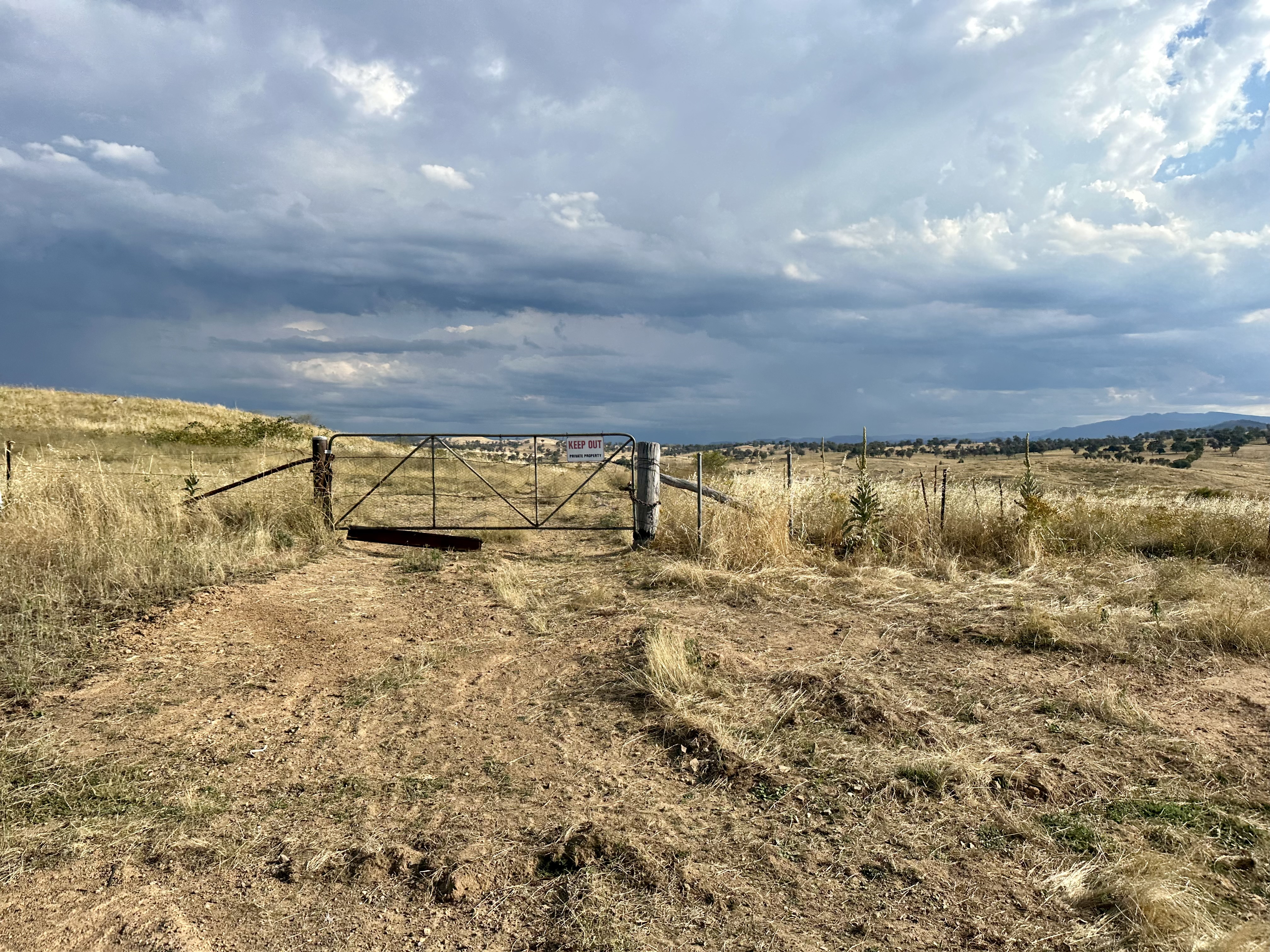
From here the cycling experience on Pipe Flat Road has changed in recent years. The previously mostly closed gates are now mostly open and numbered (the last locked gate is “2”, and the last one at Aprasia Link “7”). Whilst I expect that they could be closed if a paddock is being used for grazing, hopefully at least they won’t be locked. The scenery here is great, until the Pipe Flat Road is interrupted by what I call the “Gate of Mordor” – doom and destruction promised to all who pass. Not quite, but clearly some folk don’t take “no trespassing” seriously.
This gate used to be it – there was no link to Stockdill Drive. Continuing through the gate would be ideal as it is more direct and an actual road, however there is now a link that you can cycle that runs outside of the farm (aka Mordor).
Aprasia Link to Stockdill Drive
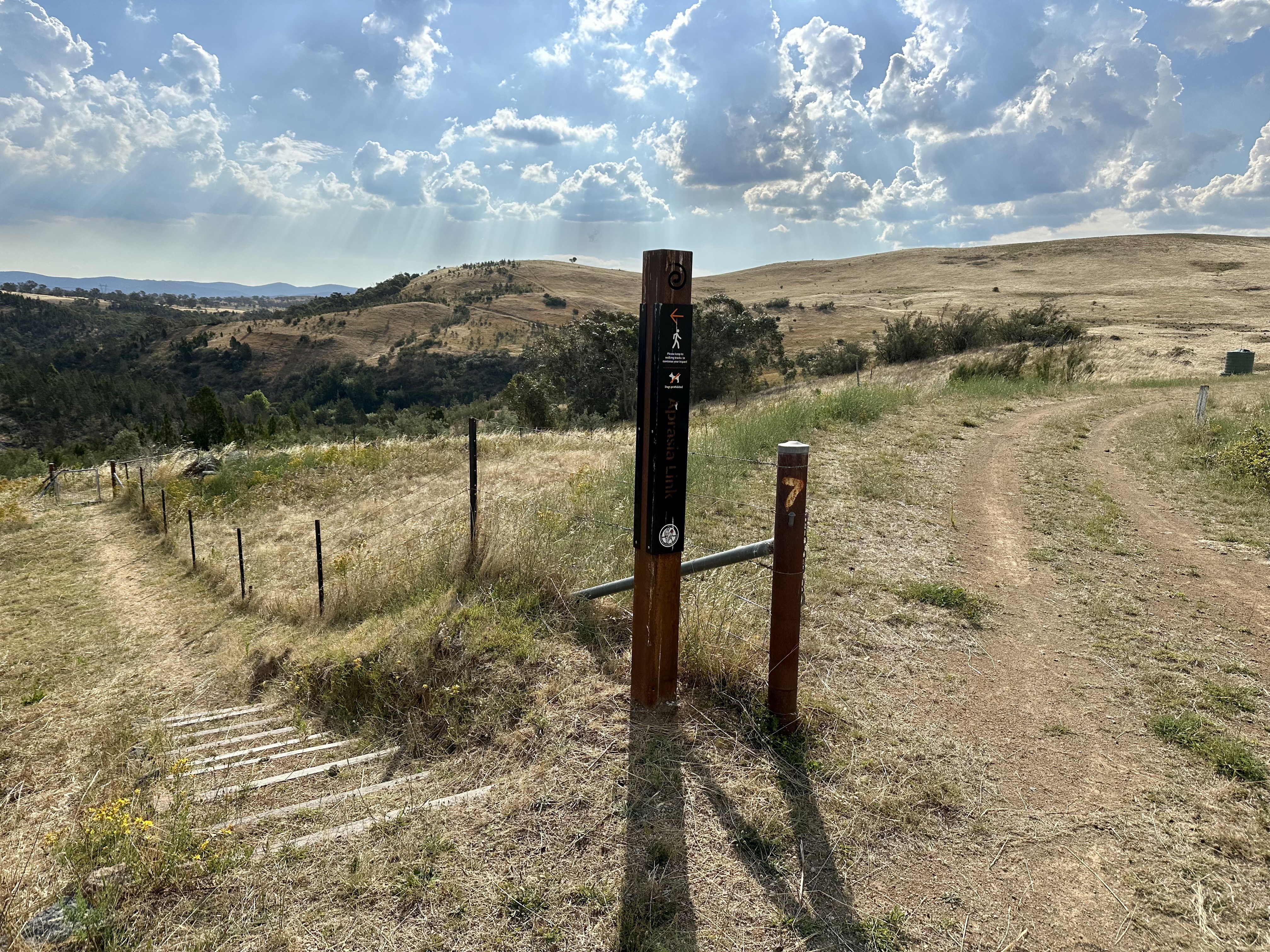
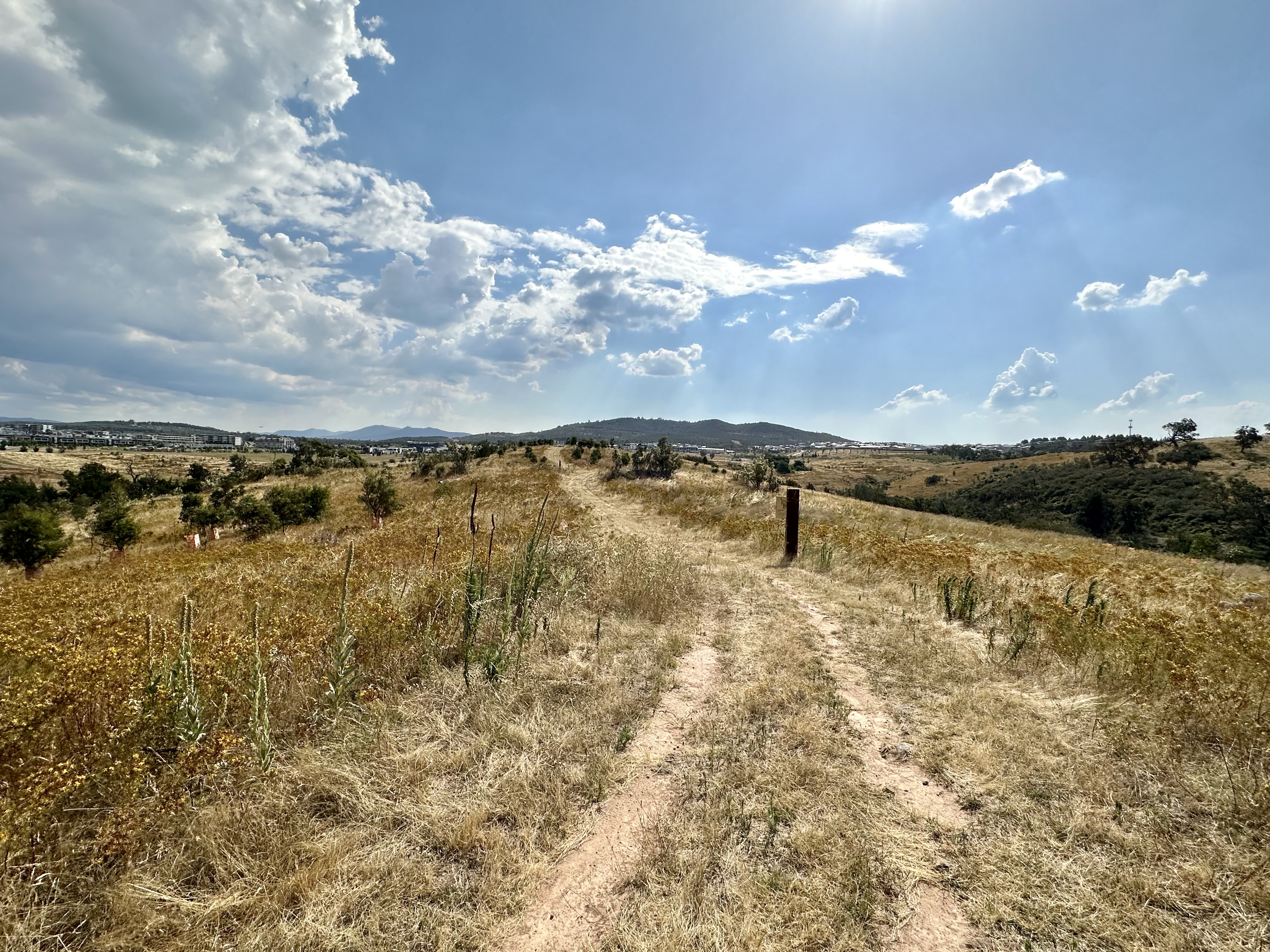
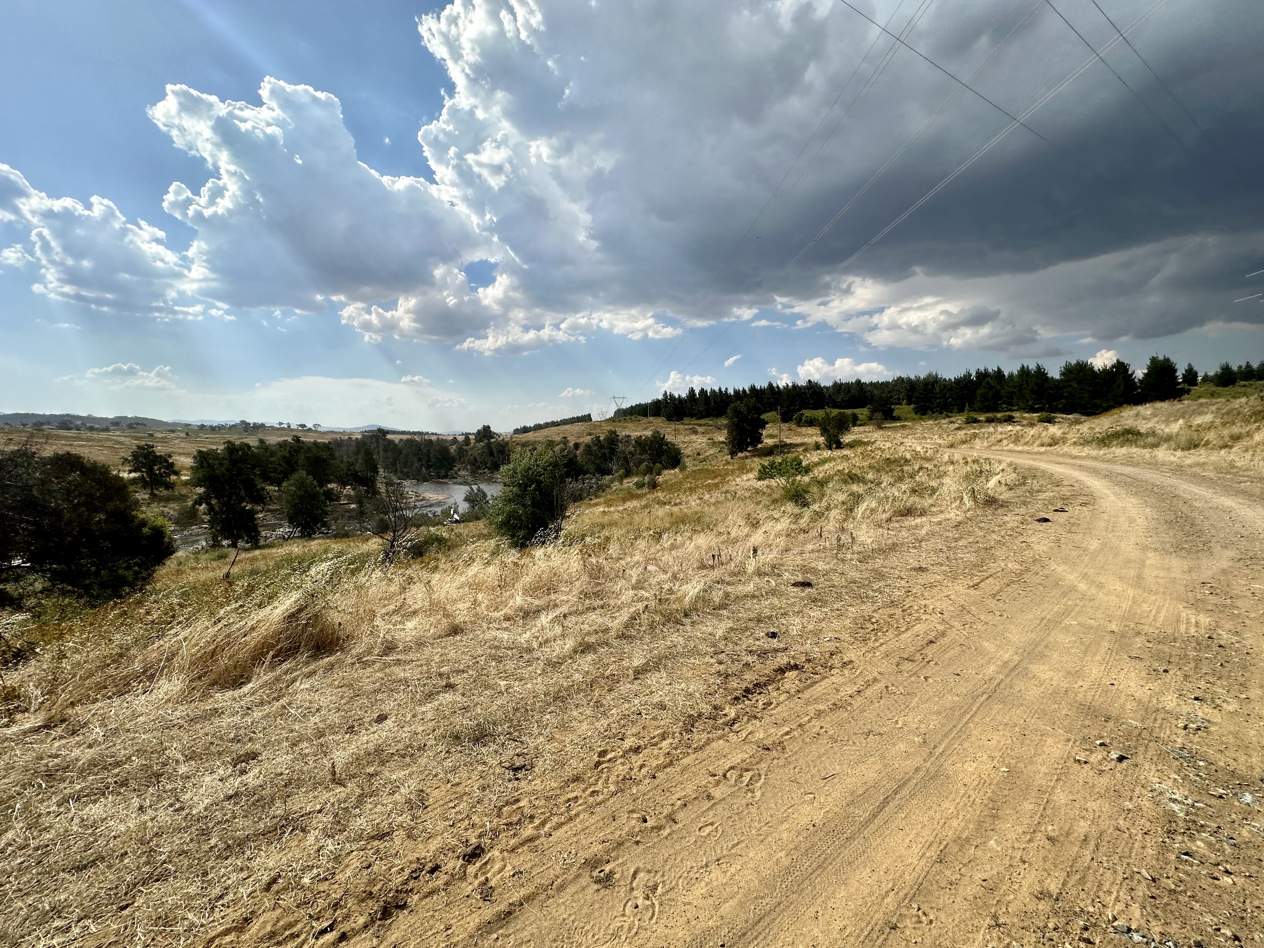
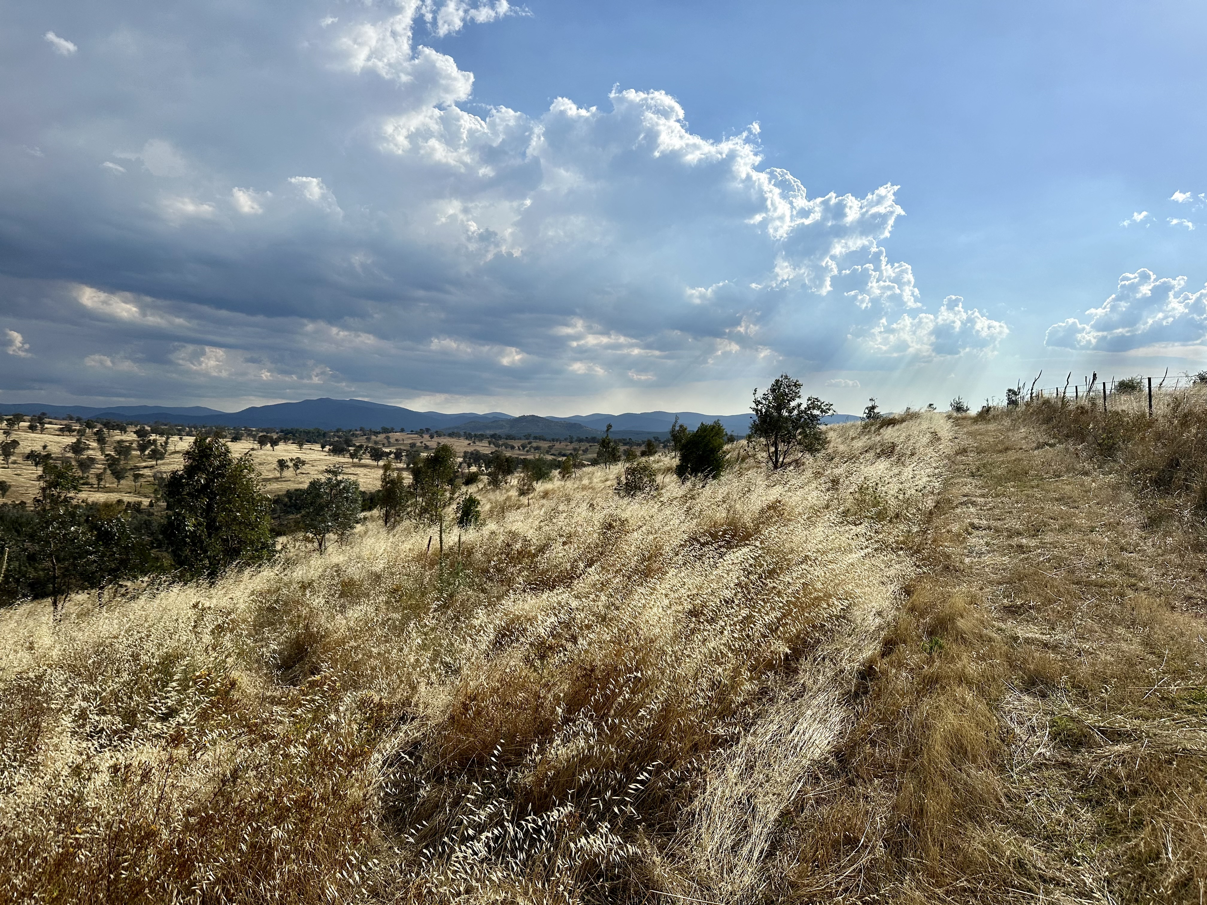
There is a clear signpost and obvious start to the trail at “gate 7”. Labelled the Aprasia link (presumably after the pink-tail lizard), the trail seems to be well designed for walkers but can be cycled most of the way. The trail includes grating where the route gets a bit damp, and has had stairs installed where necessary. There is a very steep hike-a-bike hill (leading to quite a steep descent), but it is a relatively short section. The trail is pretty easy to follow, and is well worth it for the views.
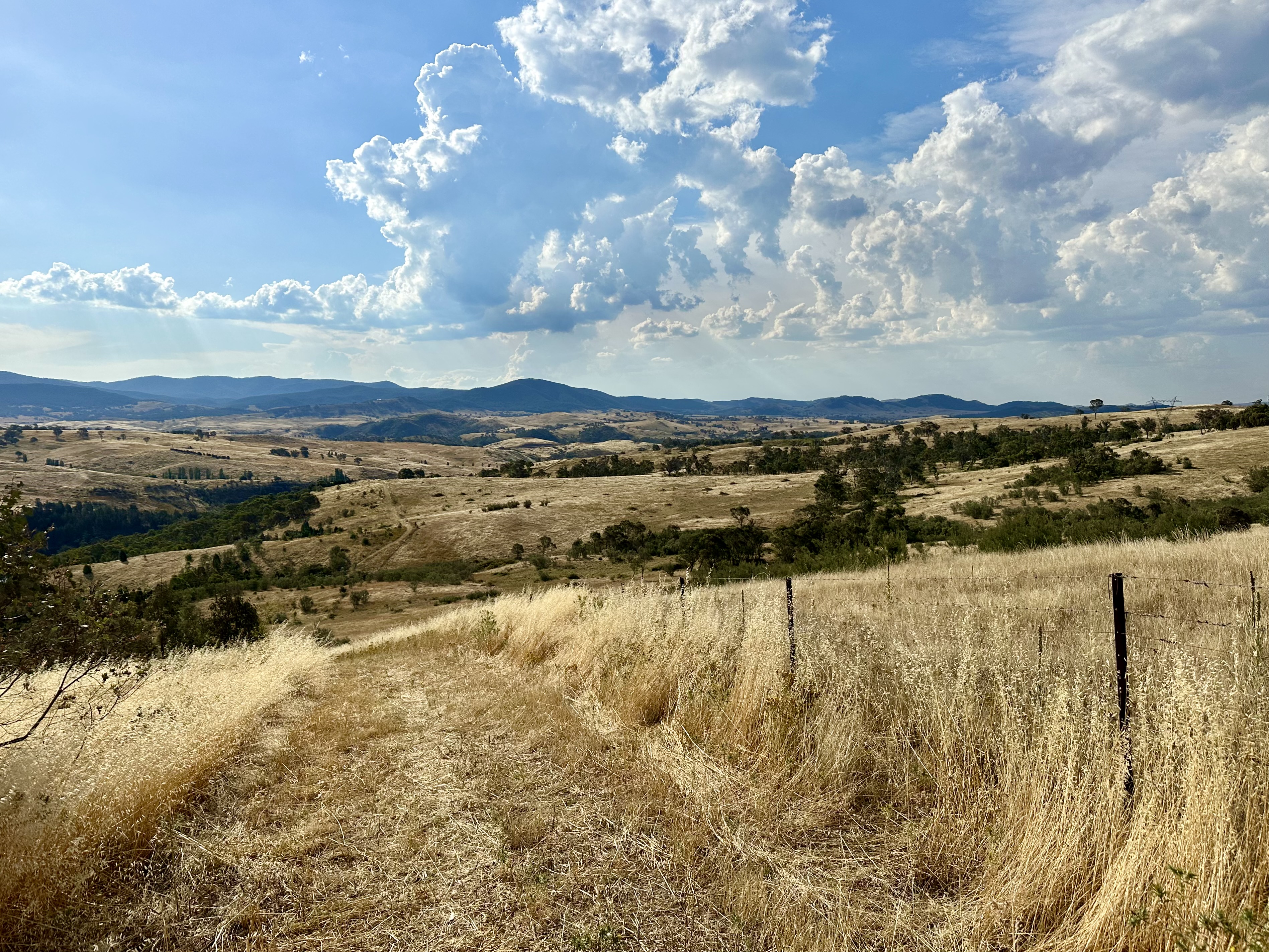
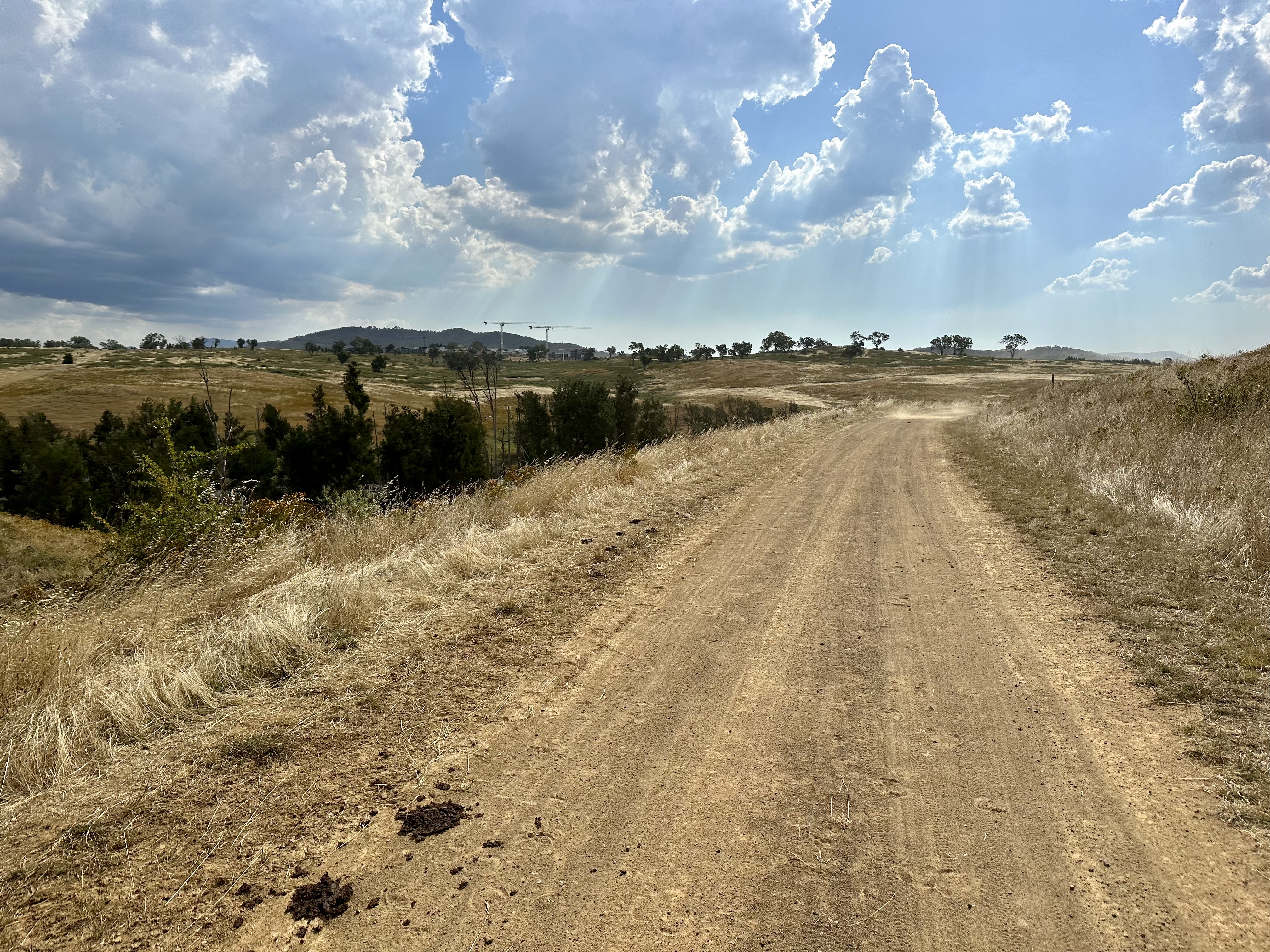
Overall the Aprasia Link and connection to Stockdill Drive is not ideal for cycling – the 3.2km took 25 minutes to traverse. If it has not been recently mown I expect it could be more challenging, so too if it is wet. Really primarily designed for hiking, I still appreciate the ability to traverse the full length of the nature reserve.
Details of this ride
Travel guidance
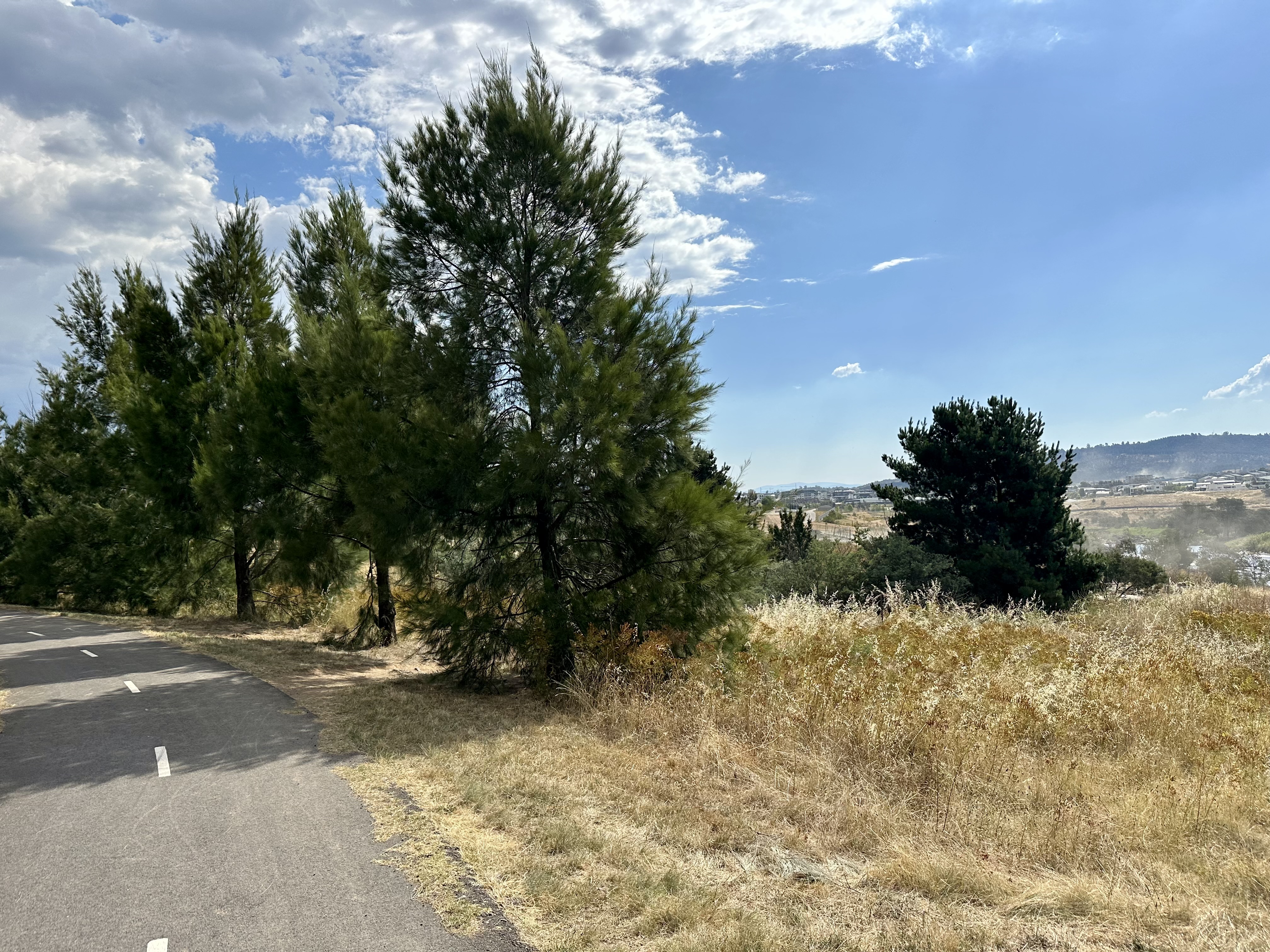
- From Stockdill Drive there are a few options as to how to return towards the city, but none are simple cycleway options. My preferred option is to head along Drake Brockman Drive, then cycle through Hawker, Weetangera and Cook to connect to the C5 cycleway to the lake.
- If doing this route in reverse direction, picking the correct gate is pretty simple – it is the first gate that lacks the “no trespassing” signs! Just behind the correct gate is also a clear ACT Parks signpost.
- It is true that this route can provide some sewerage whiff (whilst cycling Pipe Flat Road). This is not universally the case – it depends a lot on the season and prevailing winds. I’ve never found it sufficiently awful to regret a ride.


