

Since its publication in 2020, the CyclingGravel Epic Canberra Gravel Trail has proven to be one of the most read articles on cyclinggravel.com. Why did I publish this route when we have the Centenary Trail? That route is iconic and I can highly recommend it: even if you are not up to the full 138km loop the northern or southern parts are great options (for the south, see Southern Canberra ridges via Murrumbidgee, and for north see Northern Centenary Trail). There are, however, some things that mean it isn’t an epic gravel cycling trail:
- There are some parts of the trail, particularly between Hall and Mulligans Flat, but also the Murrumbidgee corridor, that are single track. Whilst perfect for a MTB these aren’t highly suitable to gravel bikes. I won’t say you can’t do it on a gravel bike, but I wouldn’t.
- There are some long stretches on sealed shared paths – I’m thinking in particular between Greenway and Fadden, and between Black Mountain and Hall.
- Some of the real highlights of the trail (in particular mountain summits) are walking trails only.
So I presented CyclingGravel’s alternative: the Epic Canberra Gravel Trail. But time goes by and a refresh is needed! Why? There are two main reasons:
- Canberra continues to grow, and the route needs to change with it. This is particularly required between Stromlo and Coppins Crossing due to the development of the Molonglo Valley.
- Believe it or not, it is possible to tweak some parts for better cycling.
As with the original the route is 75% unsealed but it has stretched out to over 80km. The rationale for the stretch is to allow the route to start and end where there is ample parking (Deakin shops), cycling along all of Red Hill Reserve, and also to take in more trails in the Molonglo River Reserve. Of course it can be started wherever you like on the route!
Summary of the route

The ride starts at Deakin shops where there is plenty of parking (out behind Fitness First) and before you start you can have a decent coffee at Doubleshot (open every day from 6am). From here the route heads through Deakin to Red Hill Nature Reserve. After crossing Gowrie Drive the route runs parallel to Mugga Way, which in real estate circles is often referred to as the “golden mile”. Some of Canberra’s most expensive real estate backs onto the reserve, including ambassadorial residences (e.g. Argentina, India, the Netherlands, Singapore, South Korea, Spain and Turkey) and a preserved heritage house.


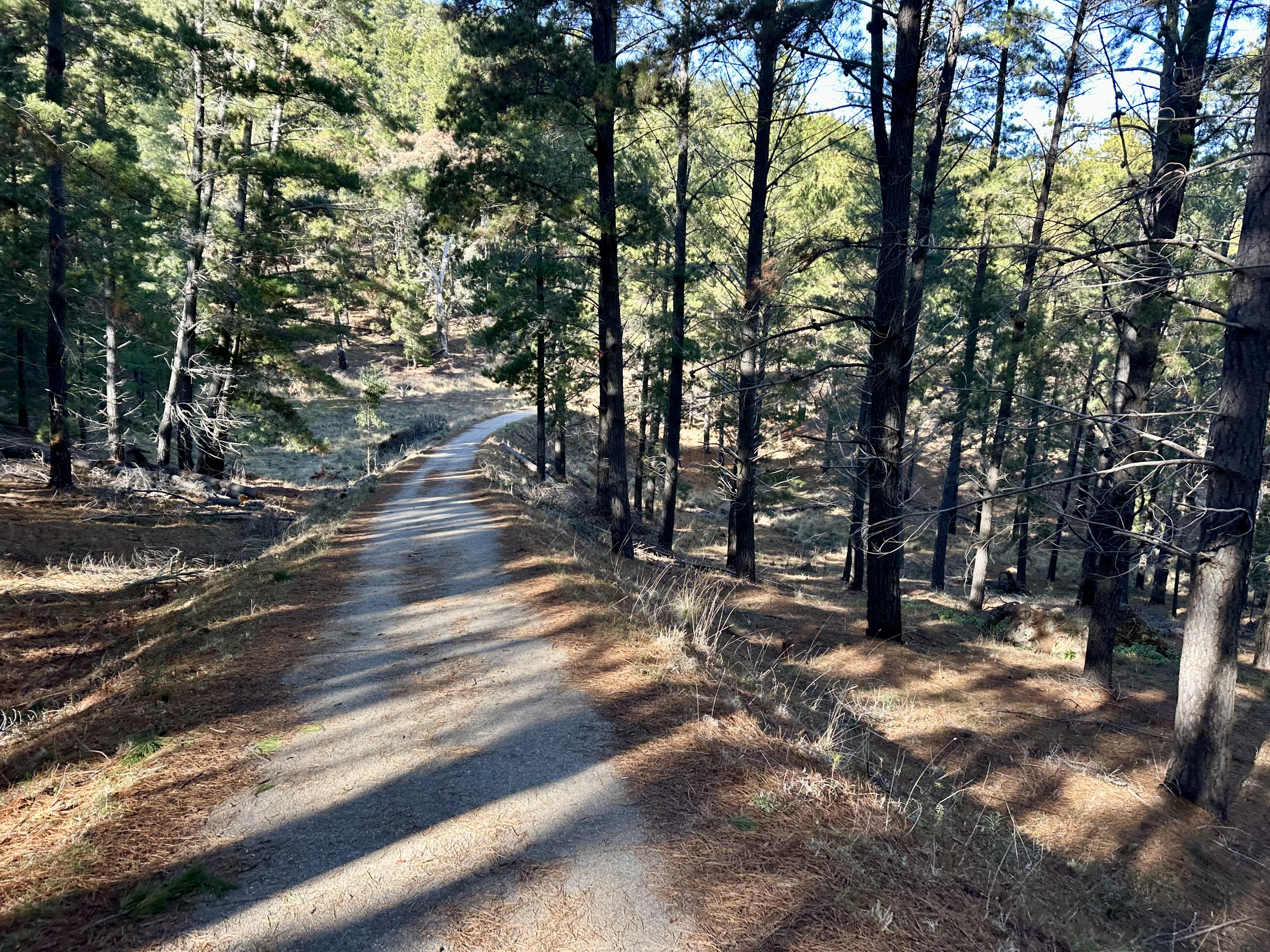
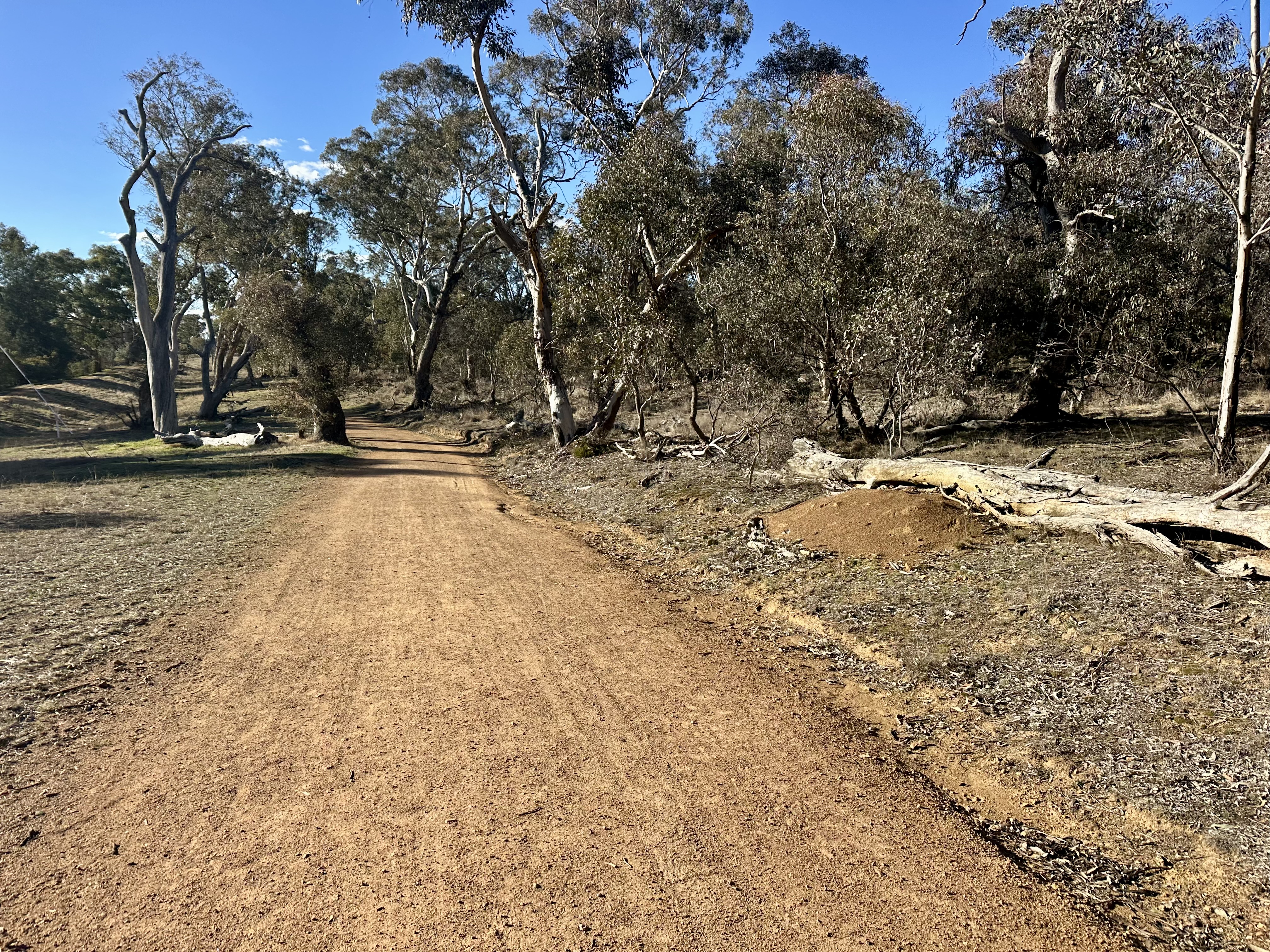
Crossing Hindmarsh Drive requires some care (see below), but from here the 2025 route follows the Centenary Trail through Mount Mugga Mugga nature reserve to get to Isaacs Ridge. There is a short section of single track and a rocky ascent, but nothing too technical. Isaacs Ridge is one of my favourite in-Canberra gravel rides as it offers 3km of rapid and mostly smooth gravel trail, allowing some attention to be devoted to the scenic views towards Mount Taylor and the Brindabella ranges (with snow in winter), as well as the sweet-smelling pine forest. The trail benefits from judicious use of concrete in areas of water flow and on steep descents.

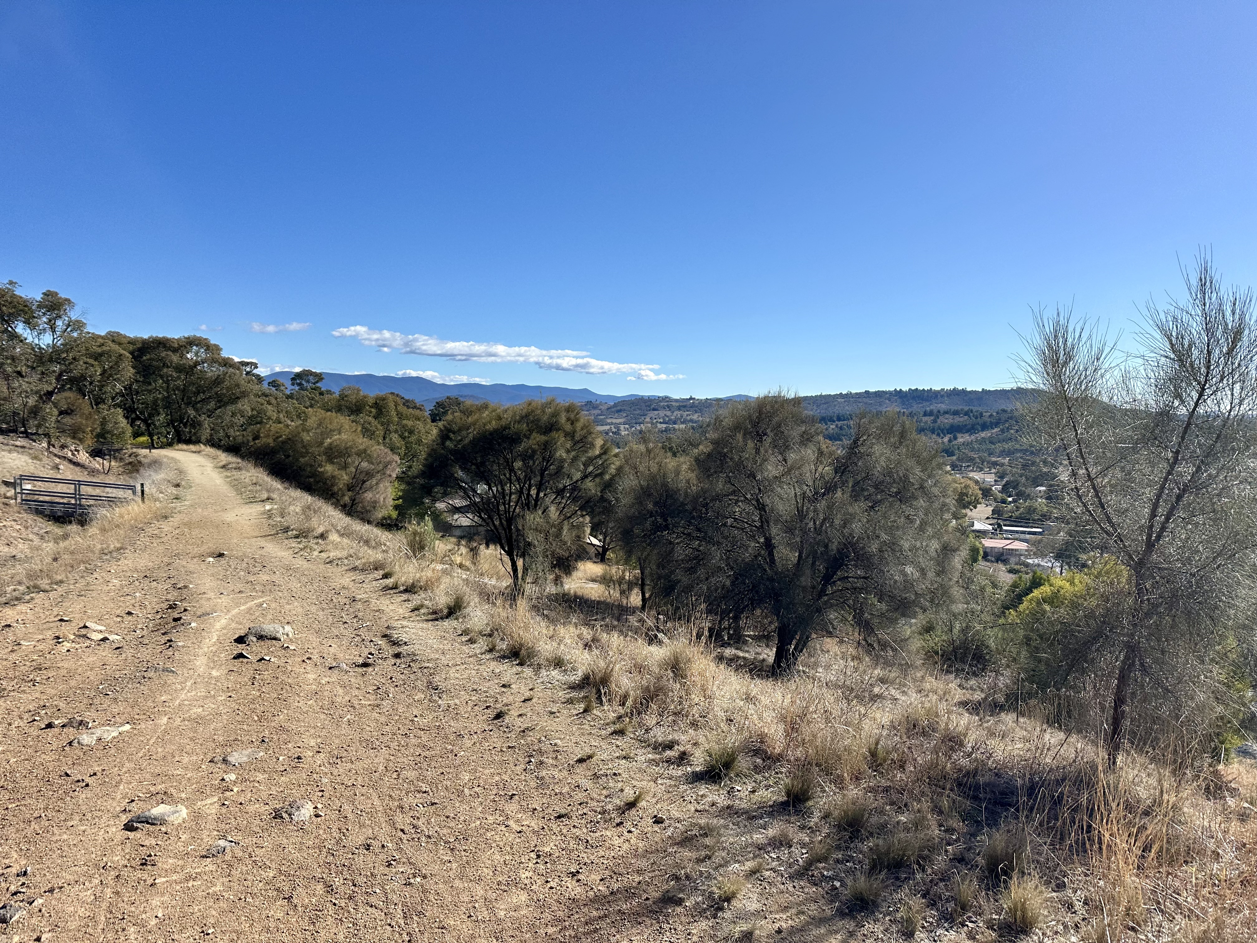
After Isaacs Ridge, the route utilises a shared path to climb up under Yamba Drive and on to Farrer Ridge. After the first part of the ridge cycle mainly offering bush and suburb views, in the latter part it is possible to look down into the Tuggeranong Valley. After a rapid descent towards Athllon Drive comes the road crossing to Mount Taylor, after which the trail continues in a similar fashion to Red Hill and Isaacs – running behind the suburb of Pearce. From here, it is possible to look across the Woden Valley towards parts of the ride already completed.
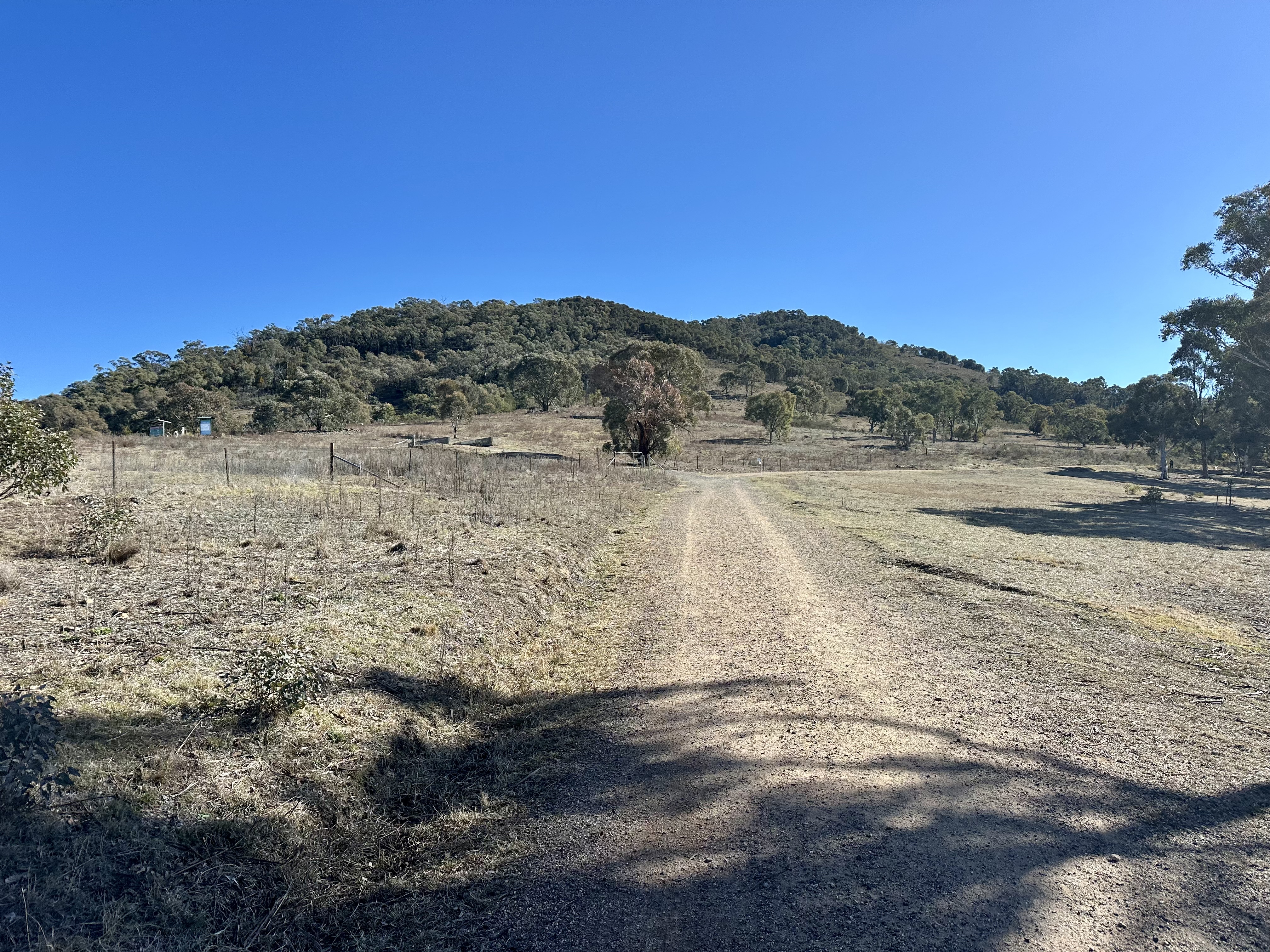
After following the smooth and flowy trail around Mount Taylor, the route connects with a shared path towards the suburb of Kambah. From this shared path the route exits to follow a non-technical single track trail behind the suburb of Fisher to connect with Cooleman Ridge. If you are up for some tailoring of the route, Cooleman Ridge offers far more than the Komoot-mapped trail. An excellent modification to this route is to follow the trail behind Mount Arawang, connecting with the equestrian trail that runs parallel to farmland to Cooleman Hill. If you have the time, exploring the area is rewarding – offering tremendous views and another surprising escape from any sense you are just beside a city.


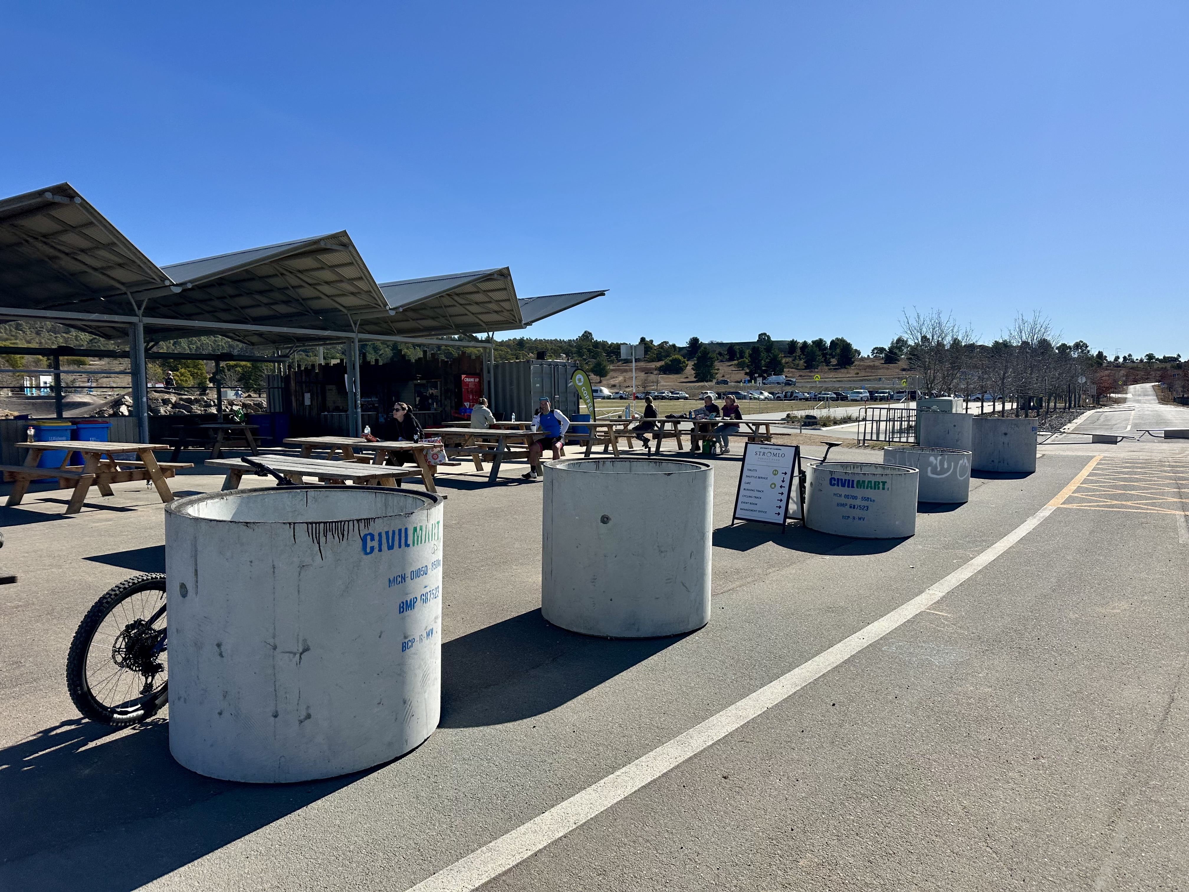
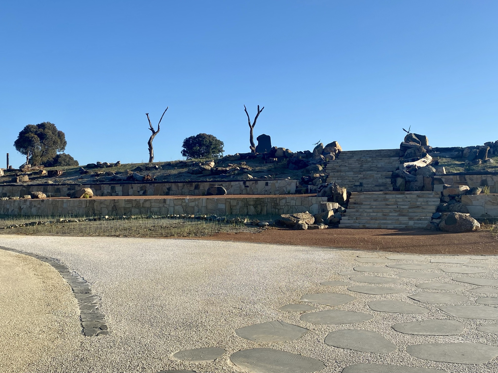
Riding from Cooleman Ridge to Stromlo Forest Park follows Eucumbene Drive – a wide road commonly used by road cyclists heading towards or heading home from the Uriarra Cotter loop. After rounding the bushfire memorial it is worth a stop at the The Handlebar before cycling further – provided you are cycling on the weekend or a day that it is open (e.g. during school holidays). A coffee and jaffle while warming in the sun can be hard to beat.

From the base of Stromlo there are choices as to how to ride, but CyclingGravel’s preference is to head up towards Mount Stromlo summit but not all the way – heading north and under the shipping container bridge. From there it is possible to flow down and up and around the mountain on some of the best non-singletrack trails of the park, ending at the Western car park on Uriarra Road.


With the development of Denman Prospect over the last few years, it has been complicated to keep up with options to cycle from Stromlo to the Molonglo and Butters Bridge. My preferred route now is beside Bluetts Block and Pineys Ridge – entry is at a white gate. Unlike the previous flow down to the valley on the 2020 edition of the Epic Trail, the route now takes in some hills and the steep descent to get to Denman Prospect. From here, however, there is a great trail down to the Molonglo River where you can follow its contours all the way around to Butters Bridge.

Butters Bridge provides access to the new (and large) Namarag Reserve. I will be really interested to see Namarag changes over time, particularly as it gets more used by residents of nearby suburbs. If you want to add an extension to your ride, you can also head west along the Pipeline Road.

Another area where construction is affecting the route is on the crossing of Coppins Crossing Road. It can appear that heading east across the road there is no access, but it is absolutely fine to put your bike over the gate and keep cycling on Pipeline Road. Just be aware that you on a public track but also in a farm paddock where there is often cattle! It also is a trail designed to assist in maintenance of the sewerage system (hence “Pipeline Road”). It must be some of the most nicely decorated pieces of waste water infrastructure though….


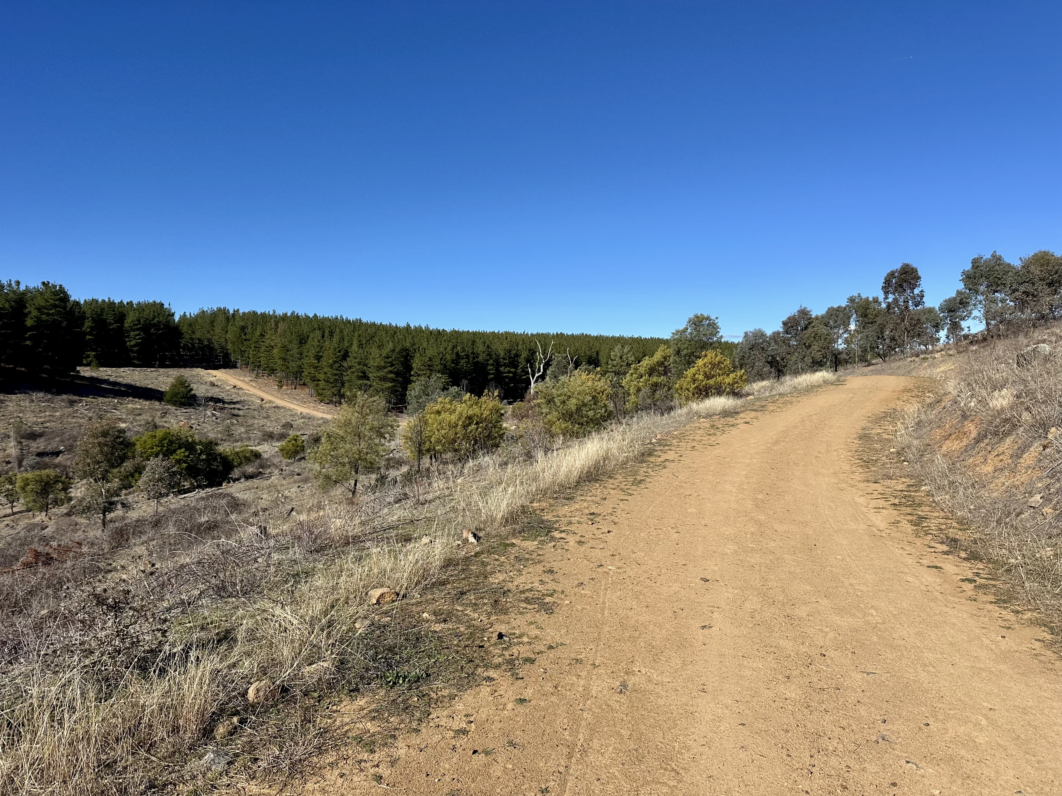
At the end of the farm-land part of the trail is a second gate requiring you to lift over your bike, and from here the route heads to Barrer Hill. The route passes this climb, but it is worth a detour if you have the time. Passing the hill, Boundary Road provides a convenient route through the pine plantation into the Arboretum.

The National Arboretum includes a number of maintenance trails and also some excellent single-track routes. Unlike most mountain bike trails, these are smooth tracks through the plantations and designed to help you explore each of the current and emerging forests. At its current stage of growth the arboretum is interesting as some plantations are quite mature, others are just being established. A good way to explore them is on these trails, but be aware that they are shared with pedestrians. If you want to explore further, more information is available in the CyclingGravel article How to Arbo.


The final part of the route passes through a Cork Oak plantation, established 100 years ago (just after the First World War). From here, it is possible to exit to the sealed shared path route to Belconnen or to ANU/city. This part of the route is straight-forward to navigate: follow the Centenary Trail signs through the reserve towards Black Mountain.


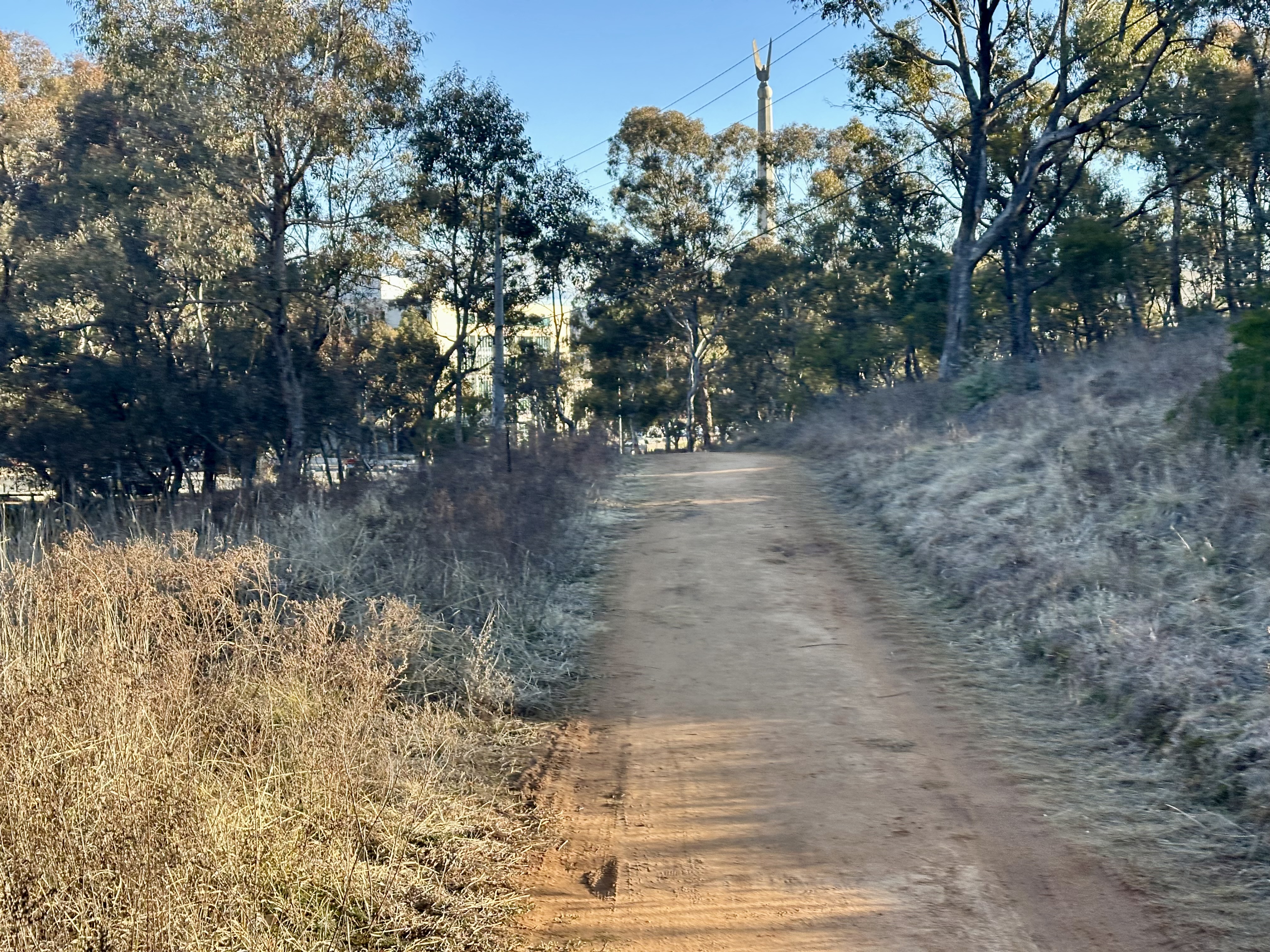
Black Mountain Reserve is a great part of the route to take at a more leisurely pace. While it is disappointing that it is not really possible to circumnavigate the mountain inside the reserve by bike, there is plenty of wildlife and interesting views. In particular (it is hard to capture by photo) there are great views through the trees to the city and lake as you go around Little Black Mountain.

After the descent from Black Mountain it is necessary to travel on-road. This route takes you through some of the older streets of the city, delivering an experience of the layout of some of Walter Burley Griffin’s original street designs. Turner and Branddon also have some of the original (or close to original) houses of the city, as well as some new (and expensive) rebuilds. Don’t forget to sticky-beak at Lego House, which is on Masson Street.
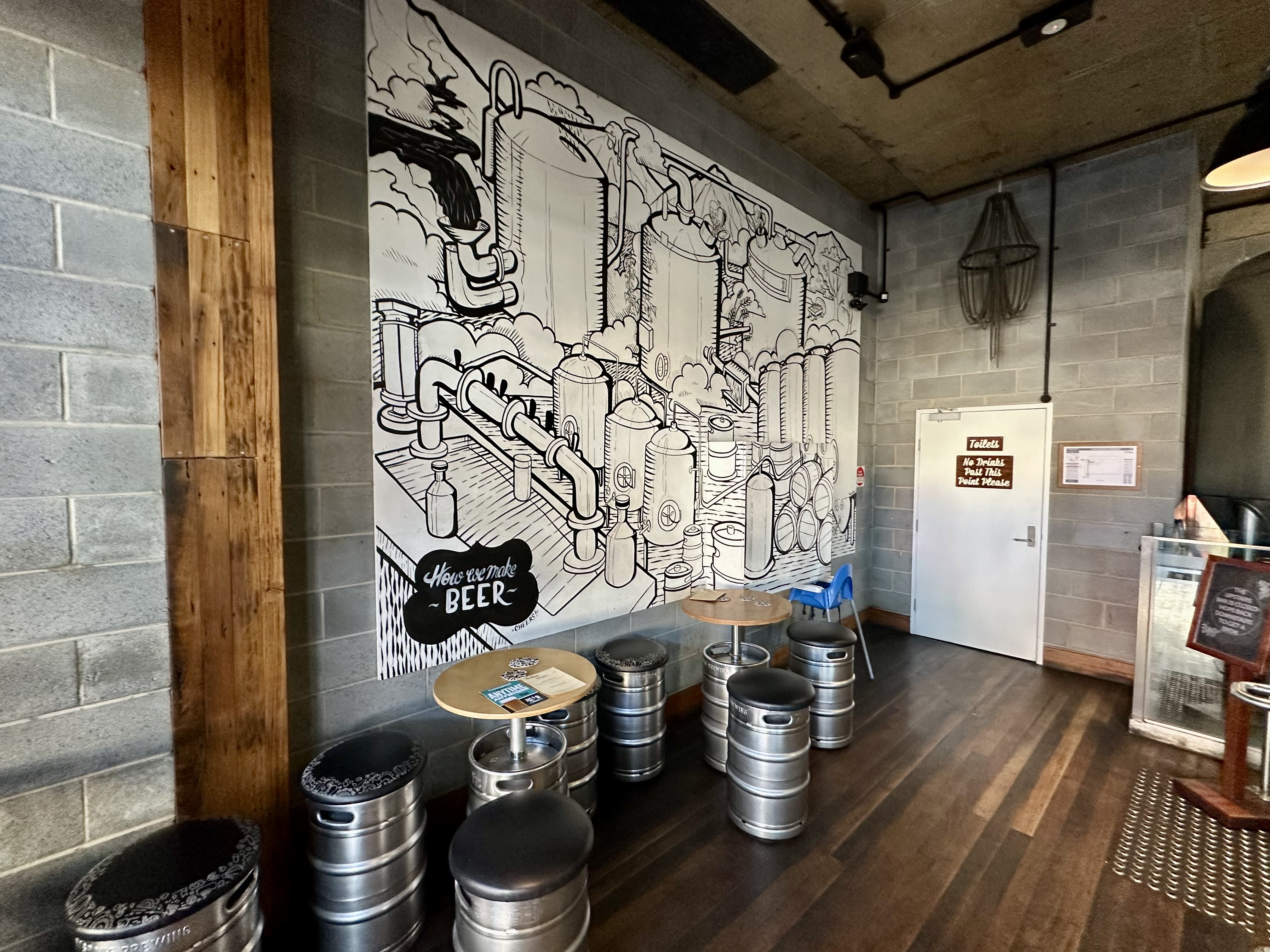
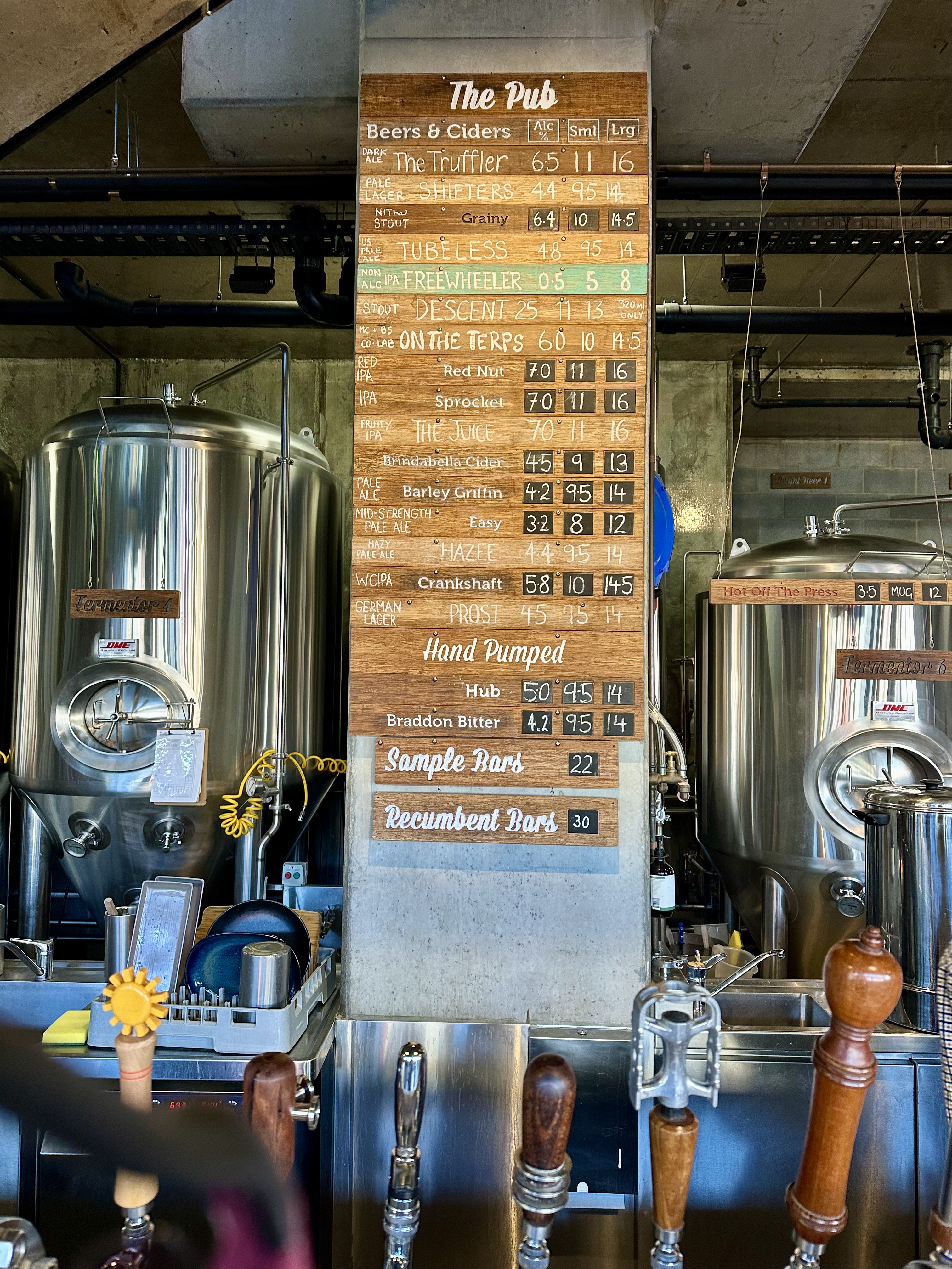
If you are up for a break when you get to Braddon, at this stage you should be up for a beer. Canberra is blessed with three very enjoyable breweries you can visit (Capital, Cypher and Bentspoke), and the route passes Bentspoke. I personally can never go past a hand-pumped Braddon Bitter, but there are many great brews to pick from.
After passing through Braddon and on to Ainslie, at the top of Chisolm Street it is time to recommence gravel cycling on the Ainslie Houses track – this is smooth and flat and flows through to Hancocks Road at the top of Phillip Avenue in Hackett.

At Hancocks Road the route and heads up over the saddle between Mounts Ainslie and Majura, and over down the Telecom Trail. I really enjoy the flow and speed that this part of the route allows, as well as offering another place in our epic city where you can seem miles away – but really you are just next door.
Telecom Trail continues the flow through to the back of Campbell offices. Here, my preferred route is to follow up the side of the Pistol Club, briefly joining Mount Ainslie Road before heading into Campbell on Truscott Street (the Komoot takes a slightly different route). Into Campbell the Mount Pleasant Nature Park trail (called Monash Drive Track) gets steep heading down to Russell, but also offer great views towards Parliament House, Red Hill and the Brindabellas.


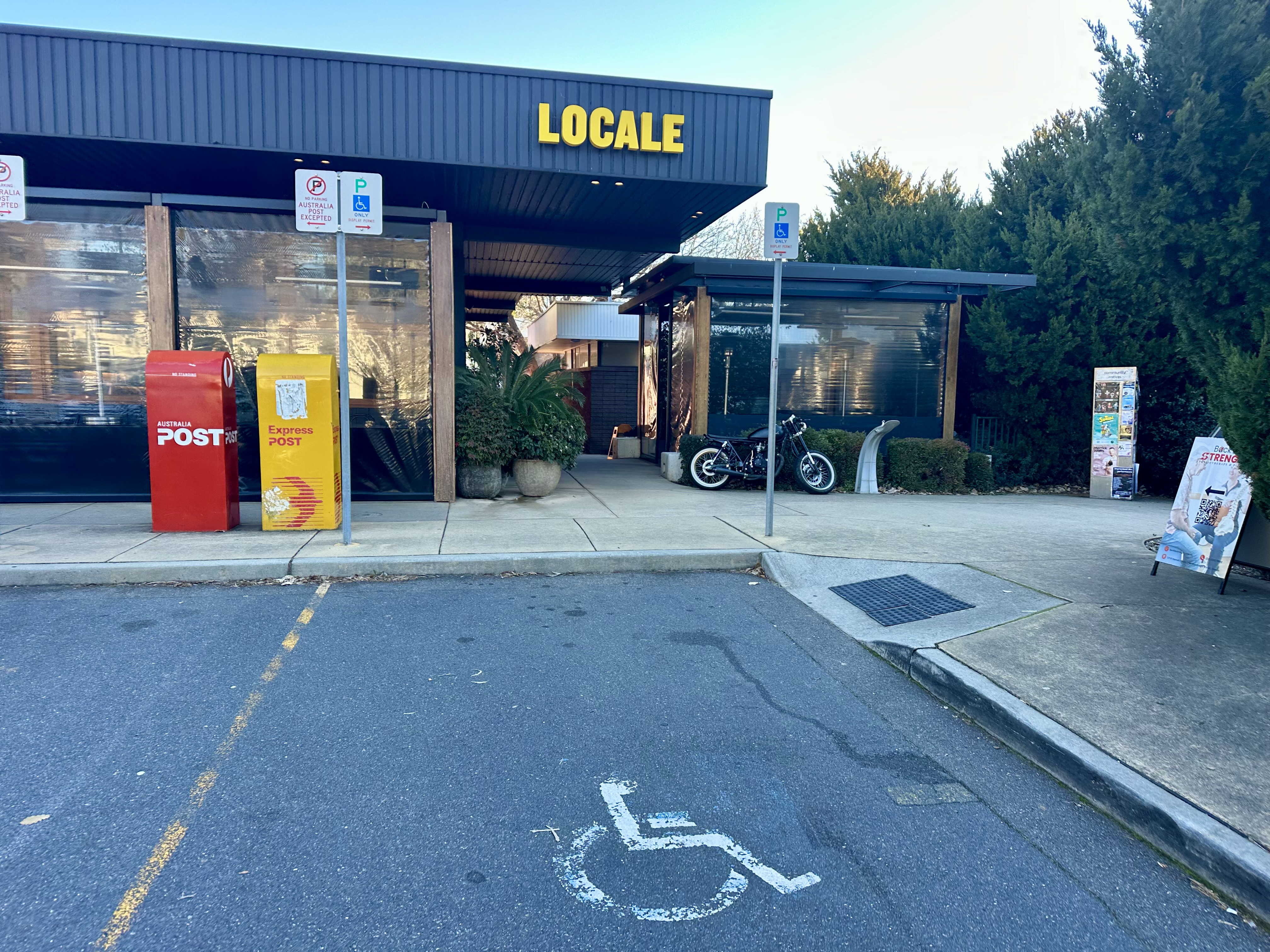
Regrettably, at the end of this point the gravel is finished and it is time to head back to Deakin shops. You do get to go past Parliament and the Lodge! At the end of the ride, Locale is open from 4.30pm for a pizza, wine, beer or cocktail.
Most challenging bits
This route is absolutely fine on a gravel bike or mountain bike. There are two parts where I specifically would call out some extra caution.


At the top of the Red Hill Reserve, the route requires crossing Hindmarsh Drive – a dual-lane road that can safely be crossed with caution even at peak traffic periods. The traffic is, however, travelling at 80km/h.
There are also a few steep descents on the route. Most require normal levels of caution where it is pretty obvious how to handle things. The descent off Black Mountain is the most tricky because it switches between well curated gravel and loose and very rocky travel a few times. Just take it slow.


