
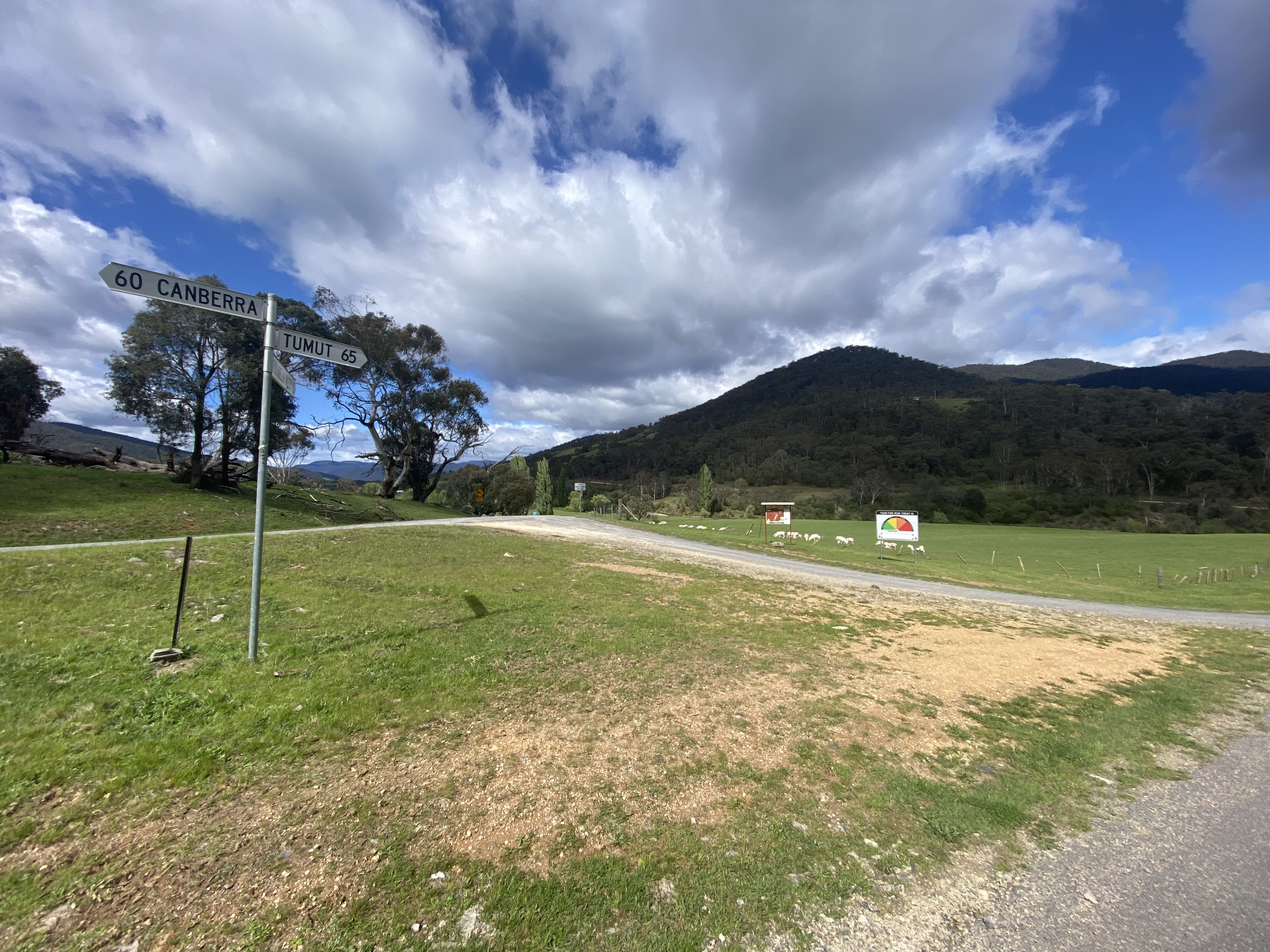
The route: Canberra – Tumut – Rosewood – Walwa – Tallangatta – Yackandandah – Beechworth – Milawa – Glenrowan – Benalla – Euroa – Seymour – Riddells Creek – Bacchus Marsh – Geelong (Spirit of Tasmania Ferry)
Needing to travel to Hobart for work, I thought “why waste an opportunity to cycle?”. The plan became to cycle to the ferry, and then head on and spend some time in the mountain biking mecca of Derby before then travelling on to Hobart by car. Encouraged by my colleague’s enthusiasm**, I mounted packs on the mountain bike and started the journey to the Spirit of Tasmania’s new terminal in Geelong.
** enthusiasm = flying to Launceston, and from there driving to Derby….
Day 1: Canberra – Tumut
I have previously written about the Canberra – Tumut route options: Via Brindabella or Wee Jasper. This time I travelled via Brindabella – the third time I have cycled this route.
There is not a lot of change to report but I’ve updated the Canberra to Tumut via Brindabella article to reflect this most recent trip. Of particular note is that the quality of the road from Piccadilly Circus to Brindabella has been significantly improved (whilst remaining gravel). Unimproved is the 10km stretch from the top of the second big climb (at Wallaby Trail) to the asphalt – this remains treacherous because of the bluestone gravel. Blessedly on this trip I was tackling the road with a mountain bike – certainly the best option for this surface. I also received a reminder that it is a difficult route – the weather is unpredictable and you will either need to carry a lot of water or be ready to filter some from the river. Speaking of weather, I had the new experience of being hailed on!

Day 2: Tumut to Walwa via Rosewood


Once in Tumut, proceeding most directly south involves climbing back over a some decent hills to get to the Murray. I’ve previously cycled in the opposite direction (from Corryong, via Tumbarumba and Batlow – see Canberra-Gippsland trip) and knew that there are some challenging climbs.

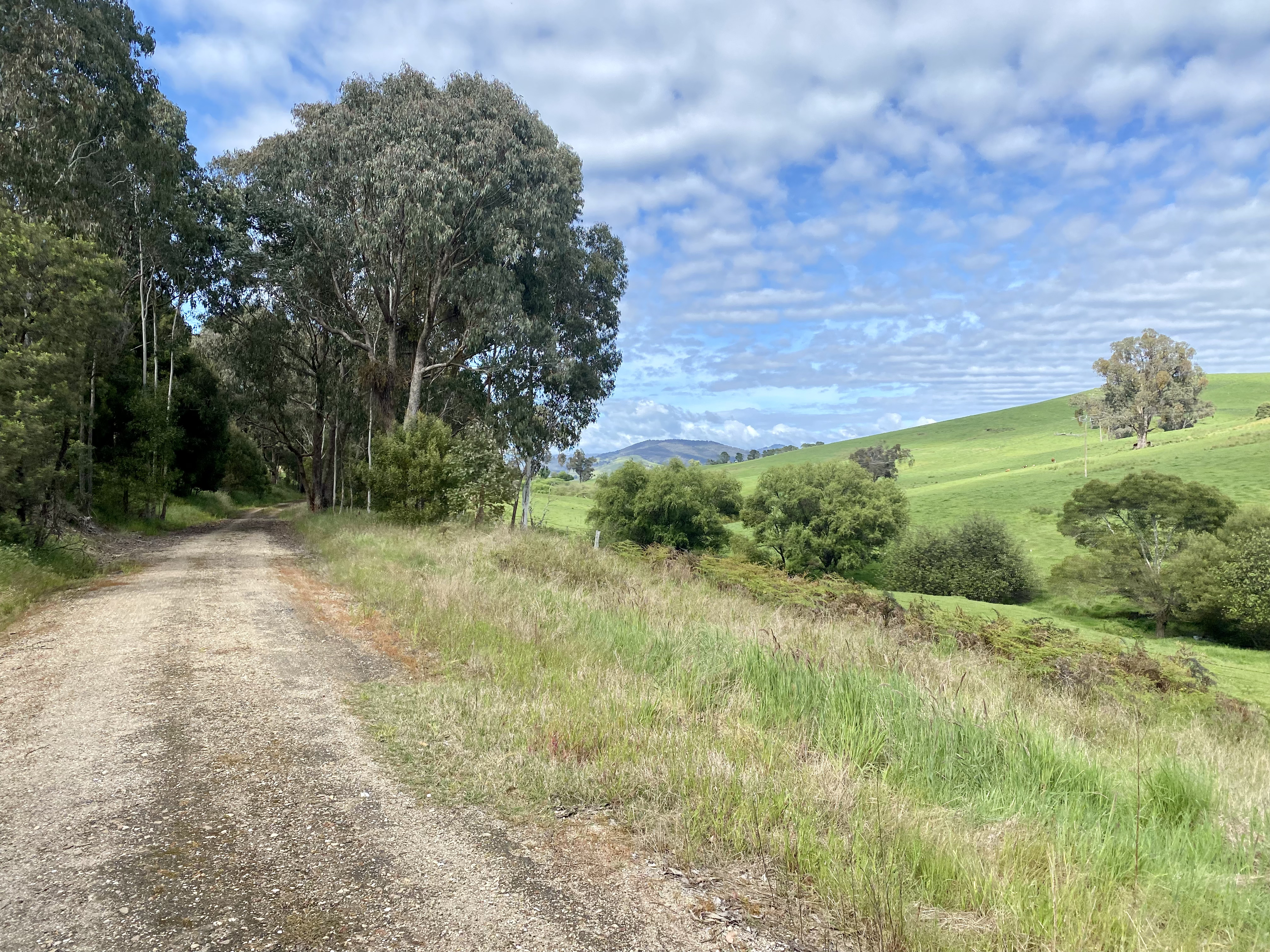
I chose to skip Batlow and Tumburumba and take the Wondalga Road to Rosewood, with the goal of using some backroads to Jingelic and onwards to Walwa. Wondalga Road did not disappoint – providing a quiet but epic road route.
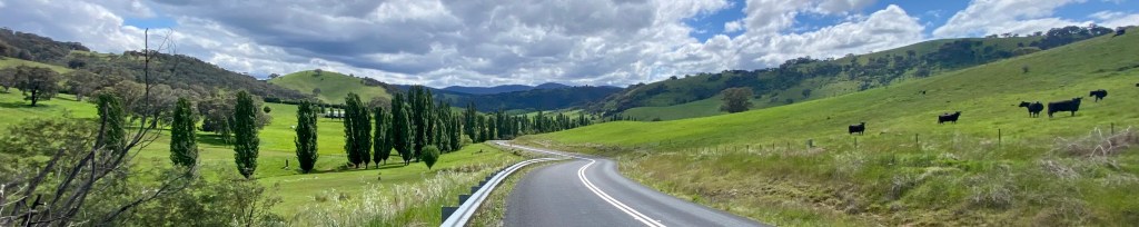
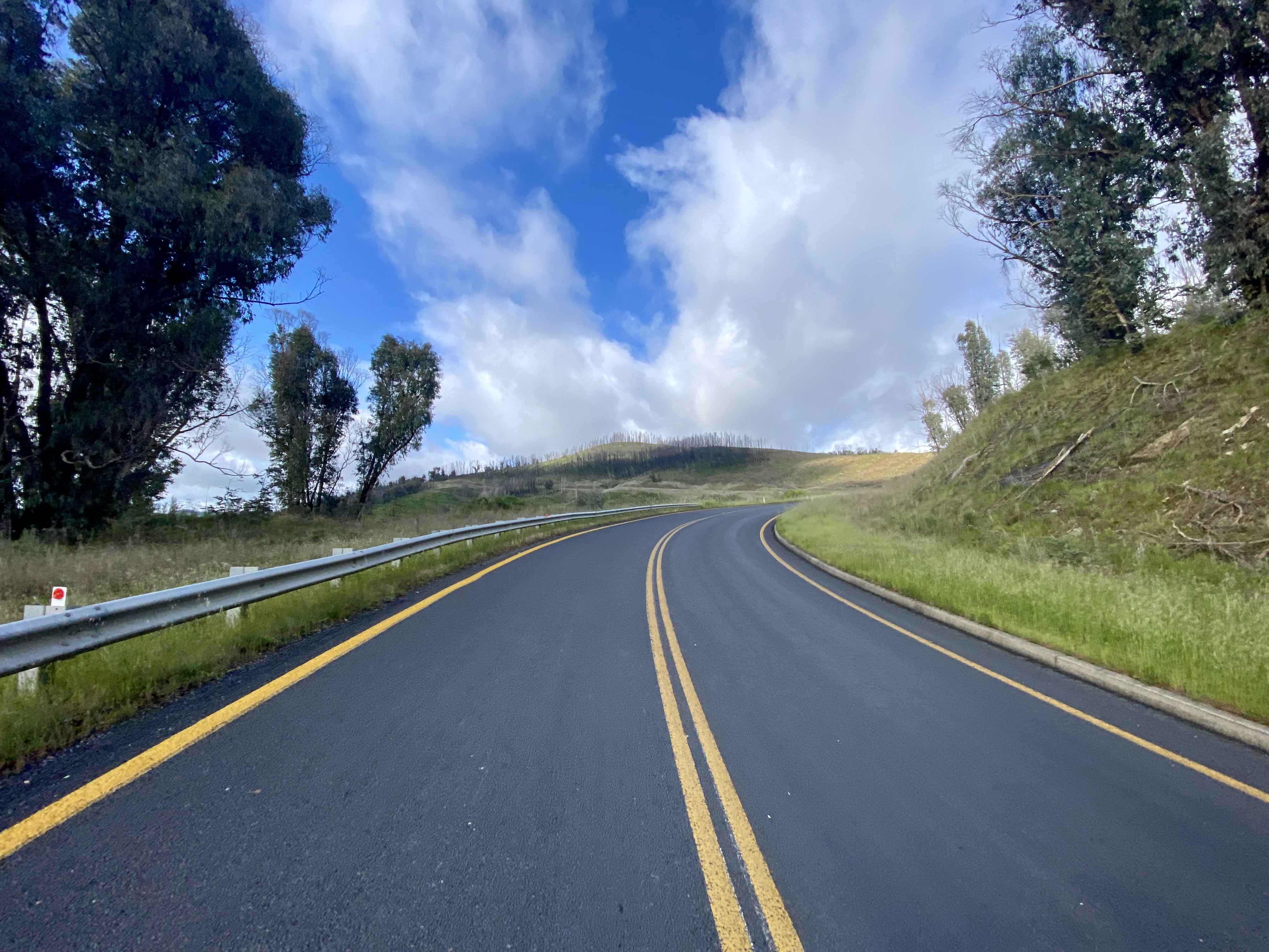
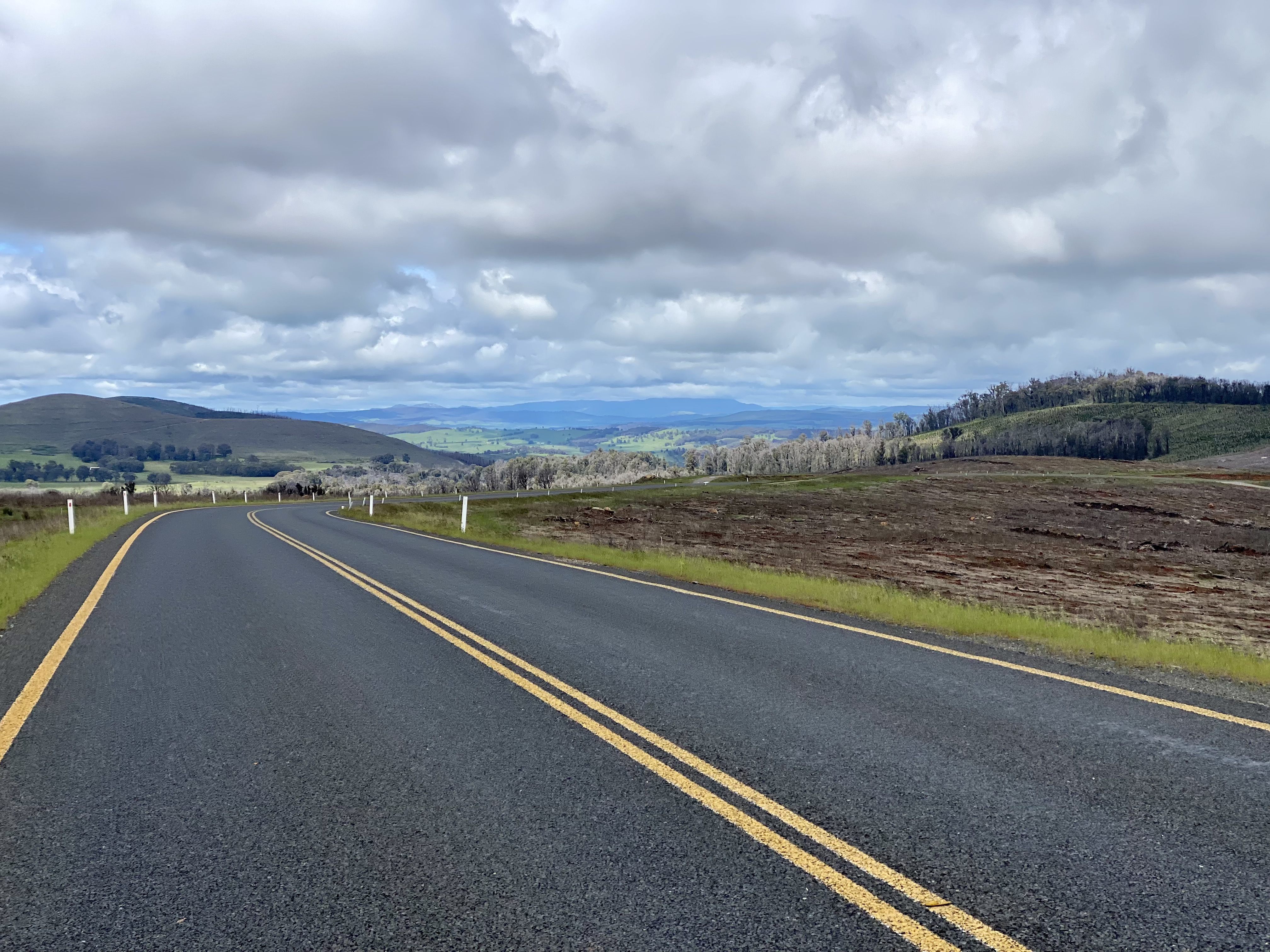
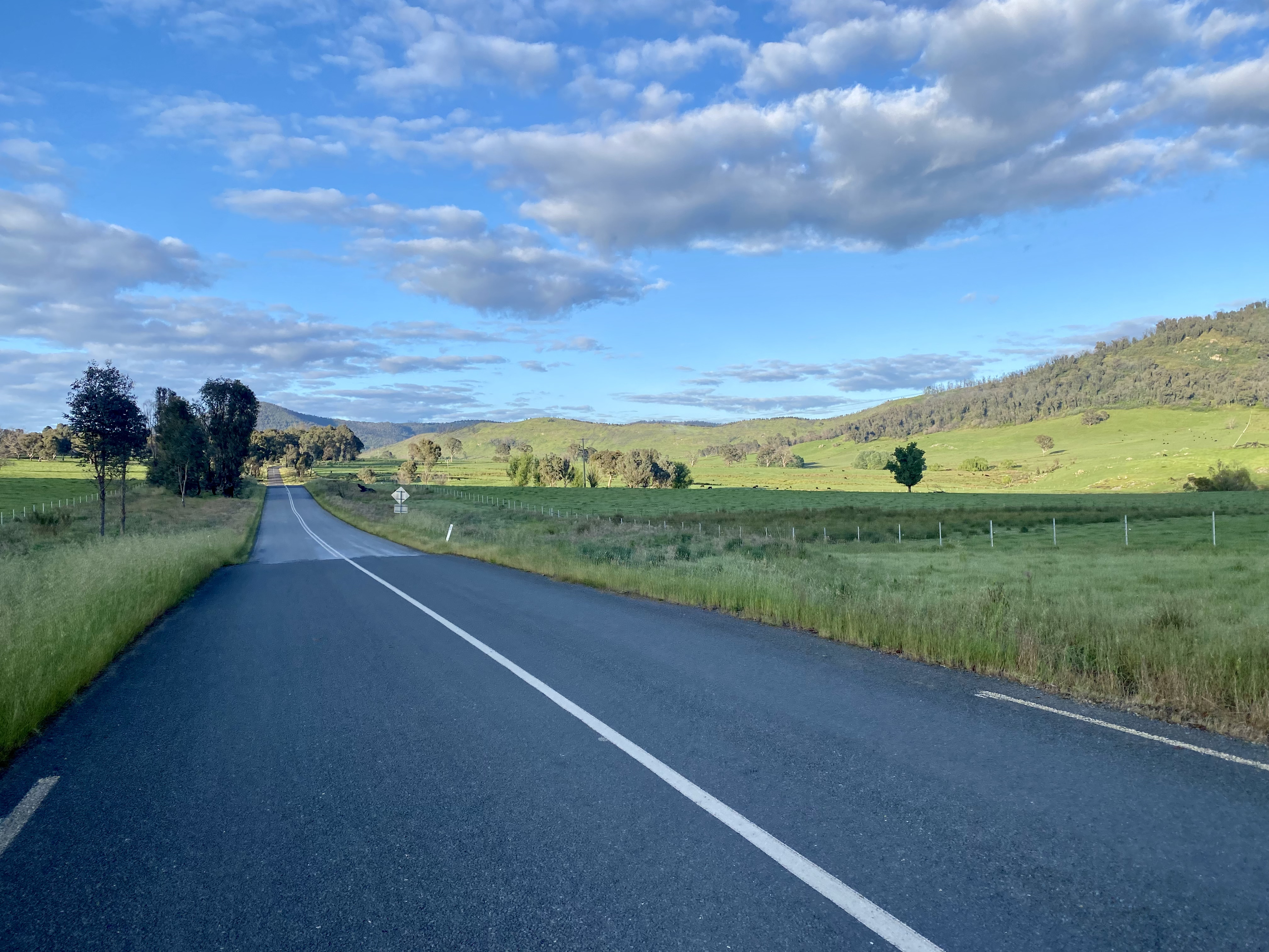
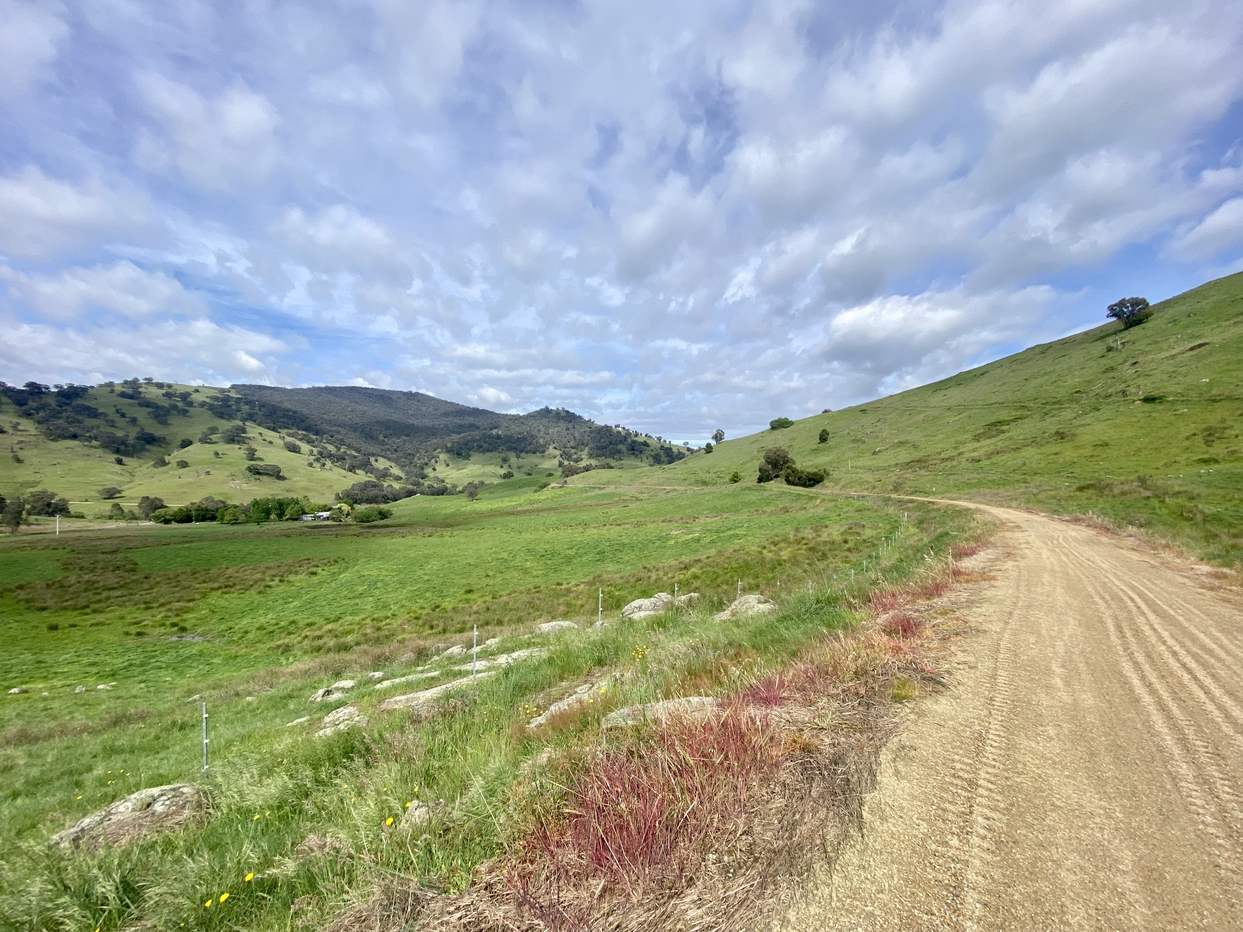
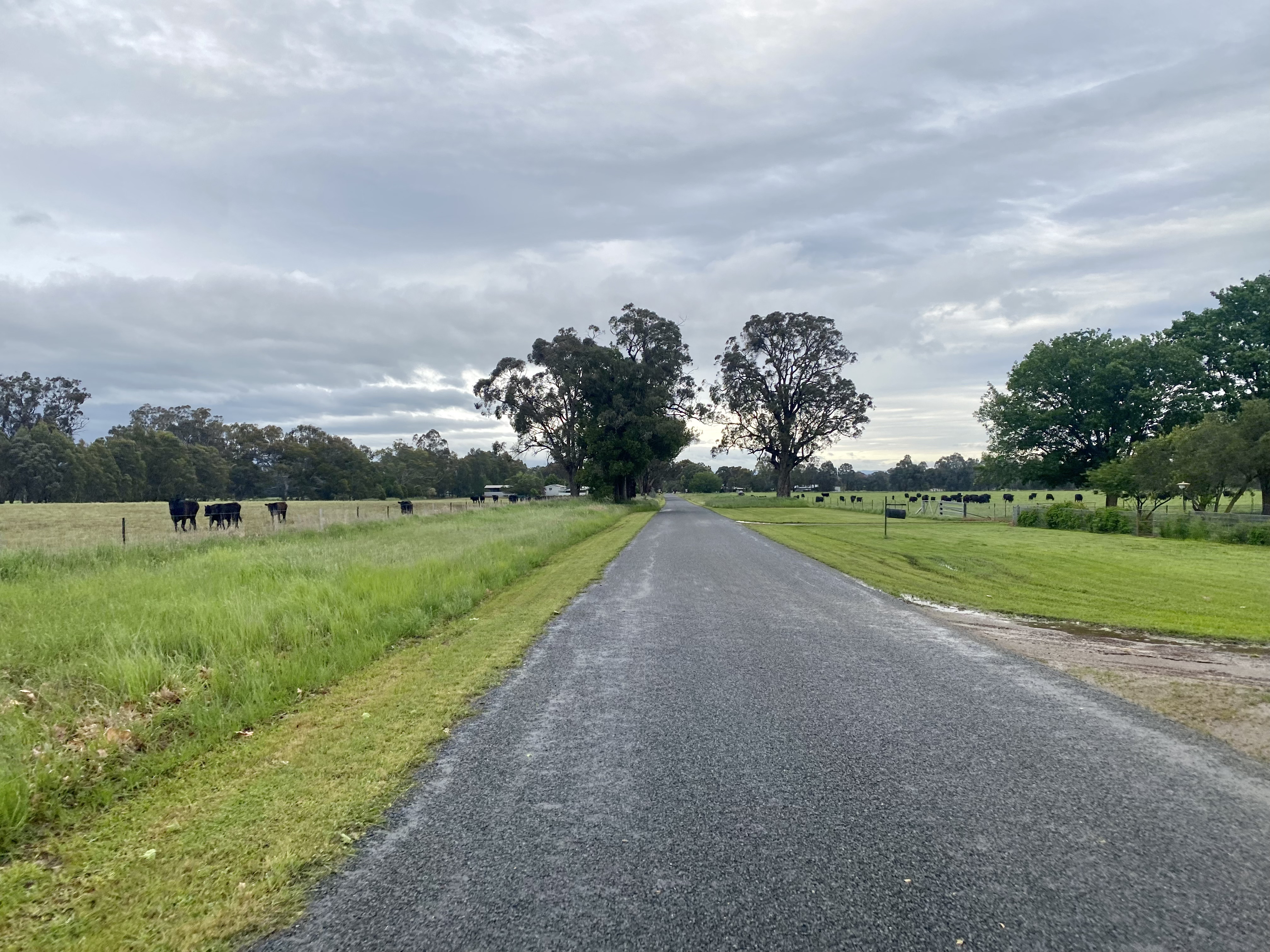
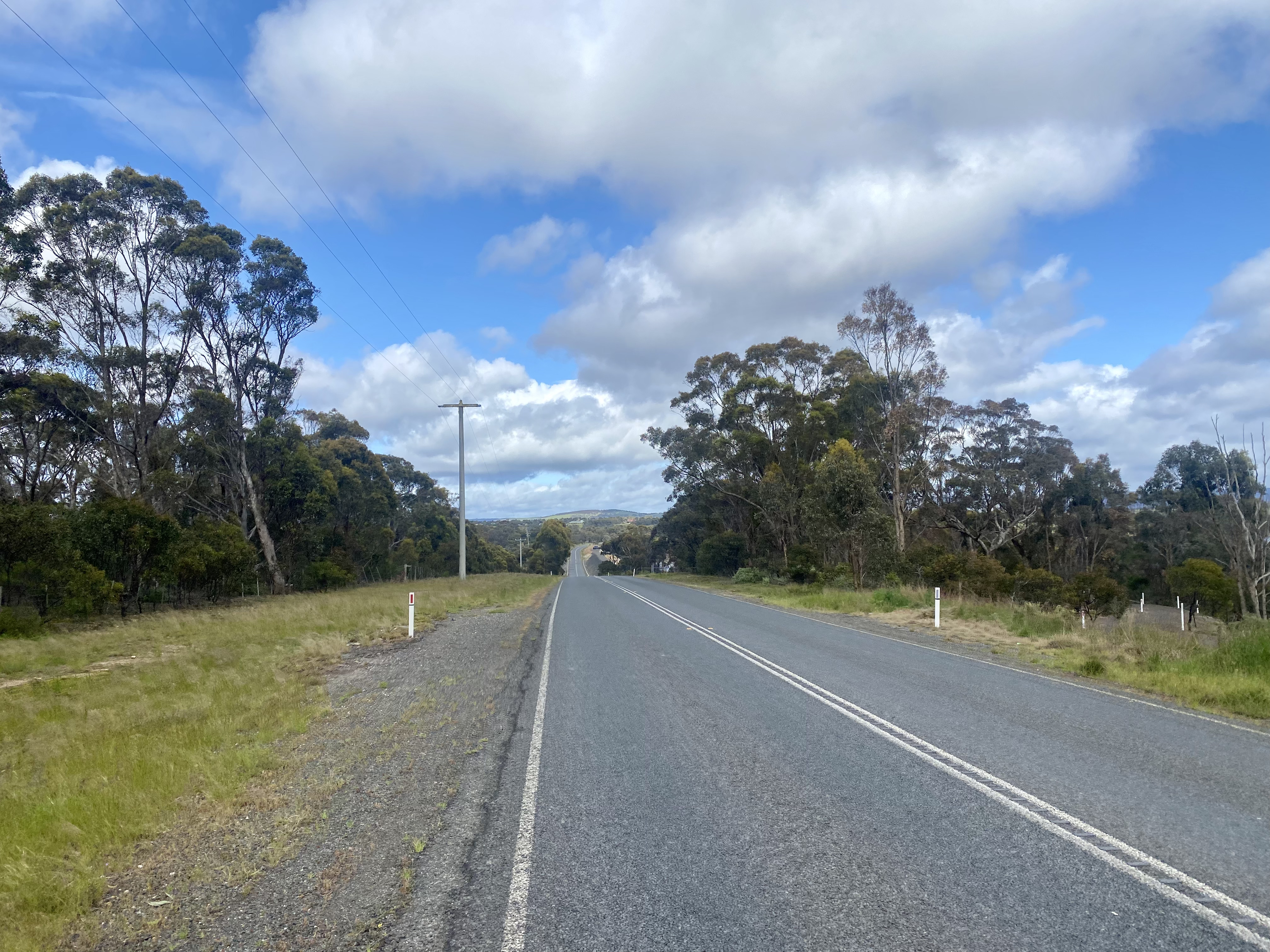
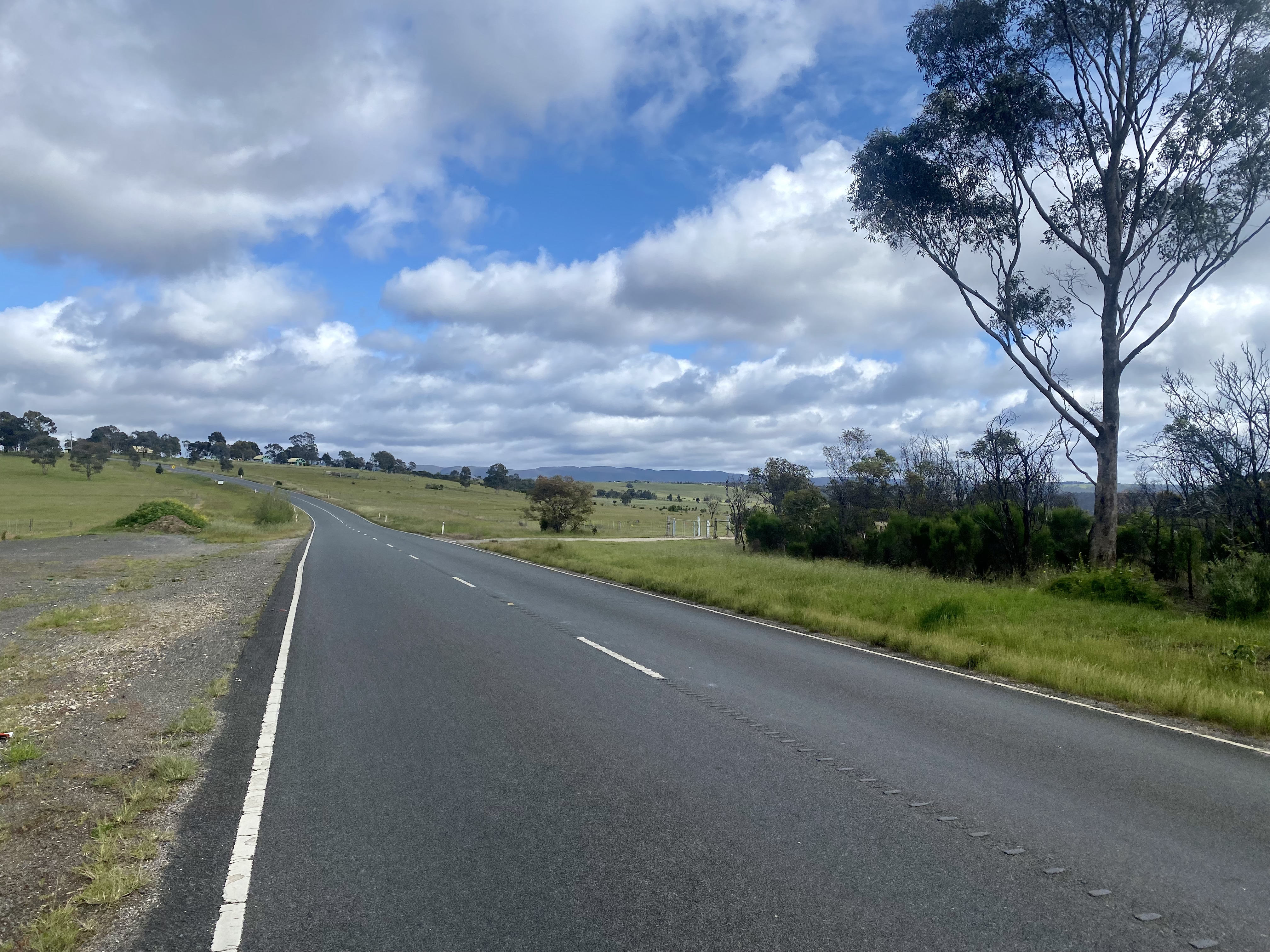
At the locality of Wondalga (marked by a bus stop), the route towards Rosewood is clearly signposted and here the climbing starts – 4.5km at 8-9% gradient. Burnt trees from the awful January 2020 bushfires remain, but the views are spectacular for the absence of forest where this has been cleared – not only on the climb but also when you get to the top and start to run along ridgelines. This does not mean that the climbing is over, but it does open up the countryside – including to the weather which was quite windy the day I was cycling. You do feel on top of the world – a feeling completely missing if travelling by car.


Being a forestry access area I expect that at times there would logging trucks on this route, but there was very limited traffic on a Saturday. I enjoyed the rolling undulating hills with the expansive views east and west, but it is not easy. Most of the route is between state forest, occasionally giving way to farmland as you get closer to Rosewood. The last climb after the Tarcutta Creek crossing tops things off – you’ll be ready for some food and coffee when over and into town.
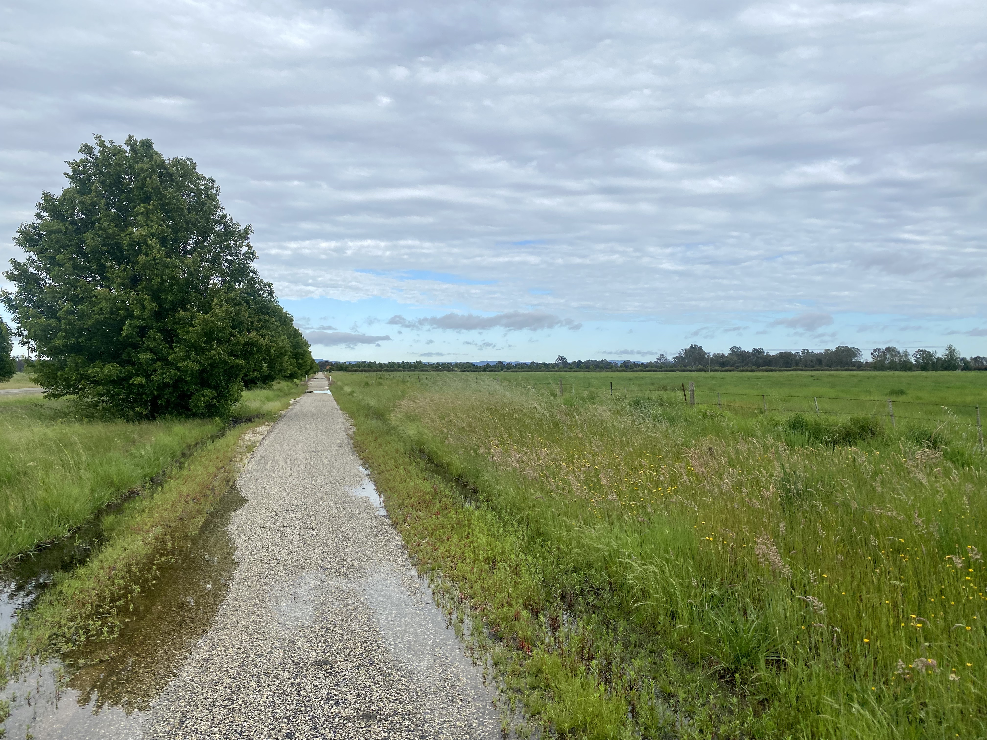
After a break in Rosewood, I took the rail trail. This is an epic piece of infrastructure, and it was in good use when I travelled through (see the Tumbarumba Rail Trail page for more on rides here). If you have not yet made the trip, it is well worth a weekend. This started an afternoon of very enjoyable back road cycling.
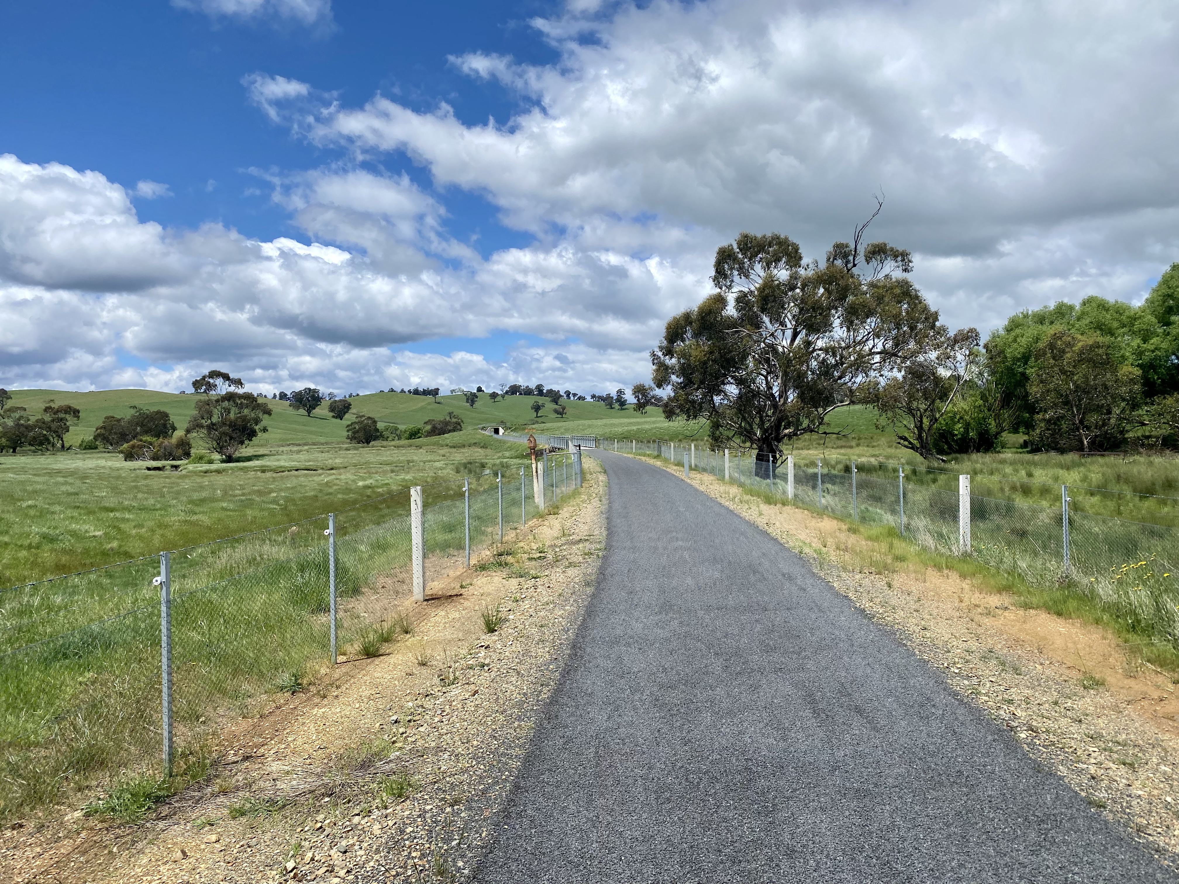

Exiting from the rail trail, a short ride on Mannus Glenroy Road takes you to the gravel Munderoo Road. You can stick on Mannus Glenroy Road all the way to Jingellic Road if you want (this route is longer), but with 14km of undulating gravel goodness this route offers a variety in surface texture (although consistently well graded) and scenery, and is generally just a lovely ride.


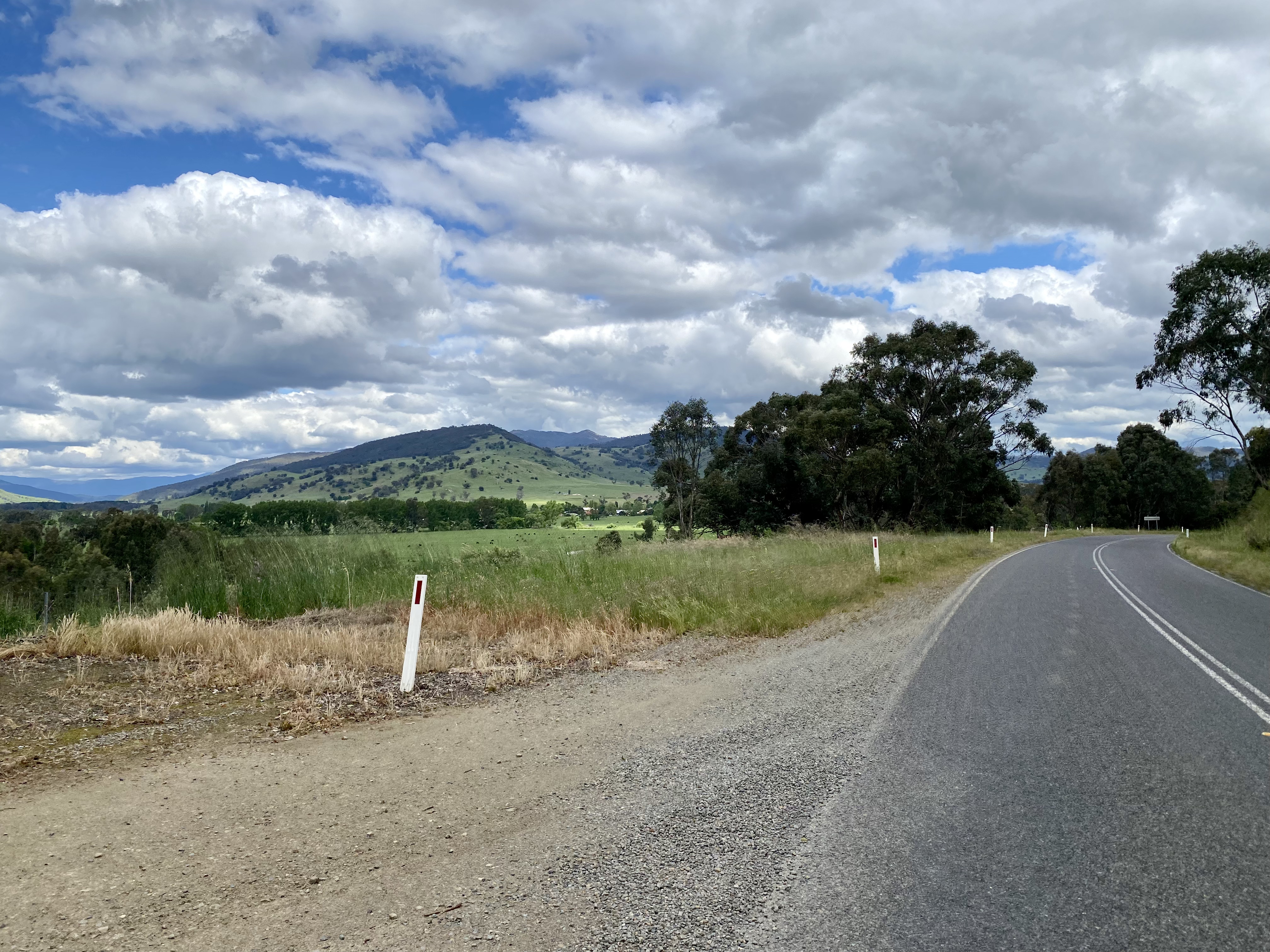
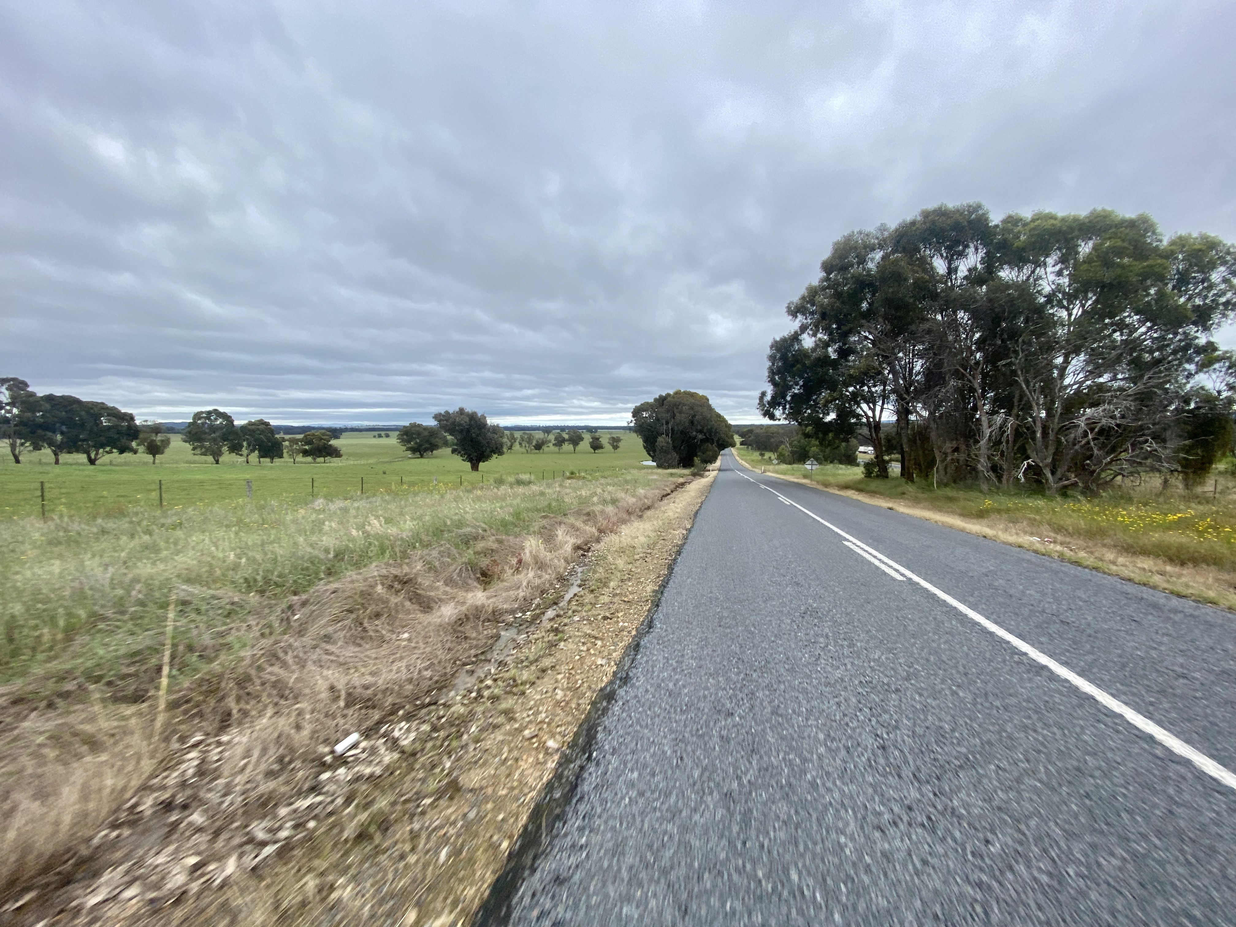
Once connected with Jingellic Road there is one final short climb before the final descent to the Murray River. There is more traffic on Jingellic Road, particularly after the intersection with the road to Holbrook, but it remains lightly travelled with beautiful views as the road follows a creek to the bottom. Super nice.


Depending on the day and time it is possible to stop at the general store in Jingellic, prior to crossing the river and heading on to Walwa. It is worth a stop to check out the bushfire memorial sculpture – a reminder of just how bad things got in 2020.


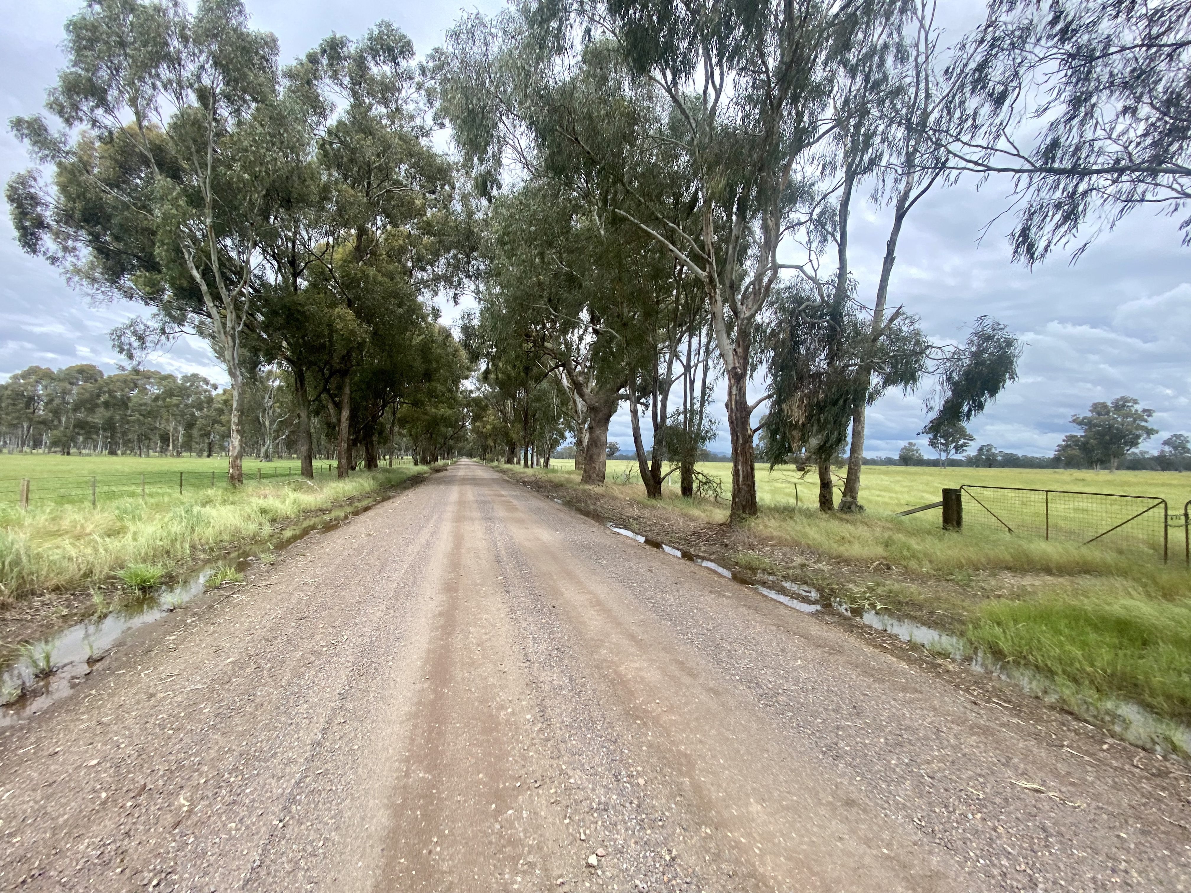
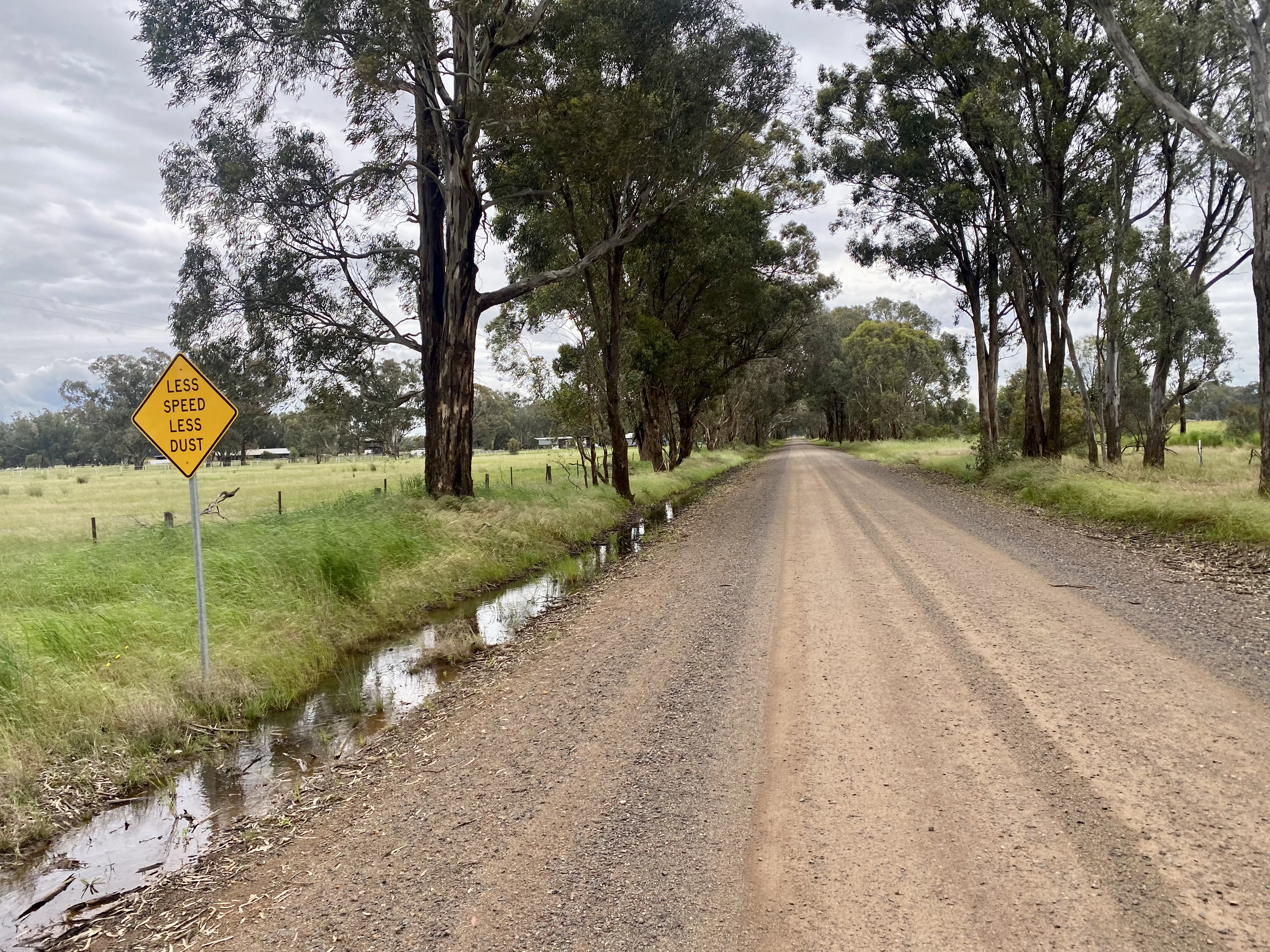
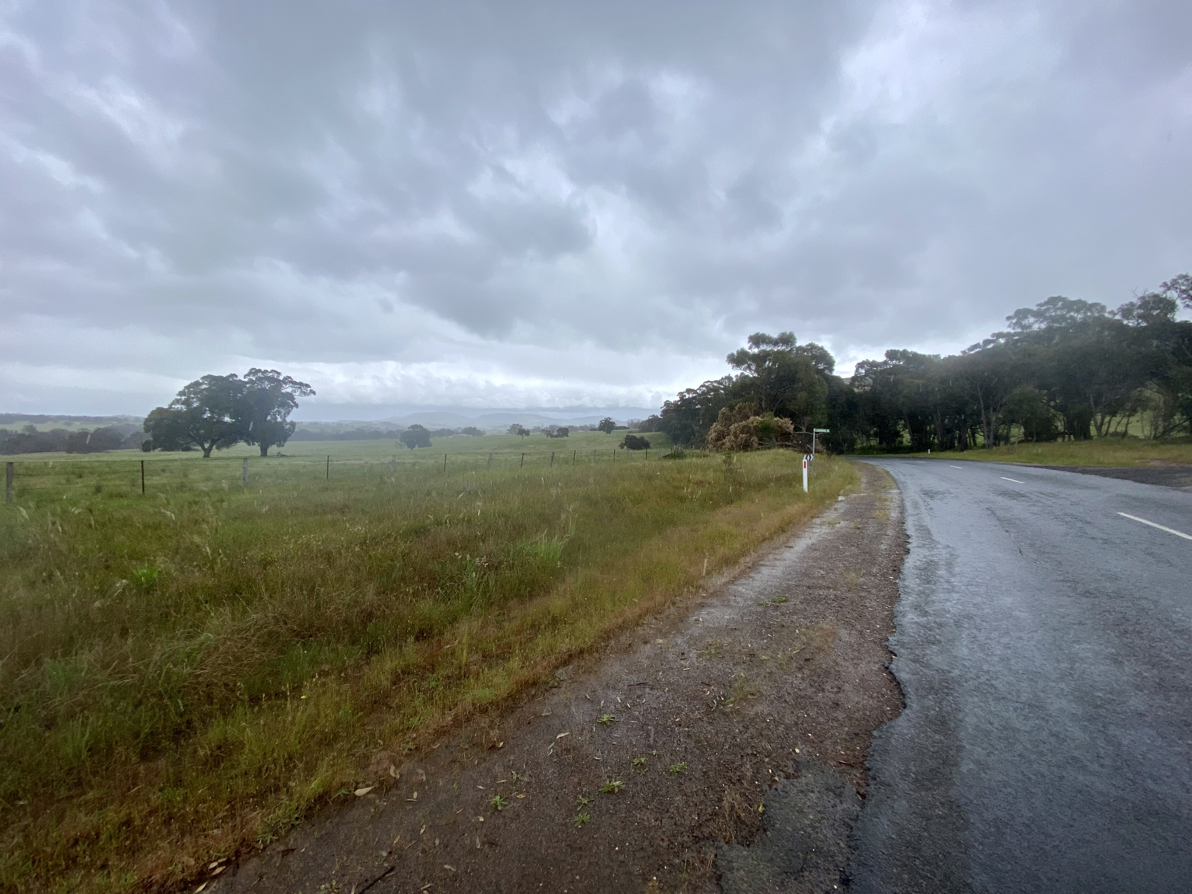
Day 3: Walwa to Beechworth

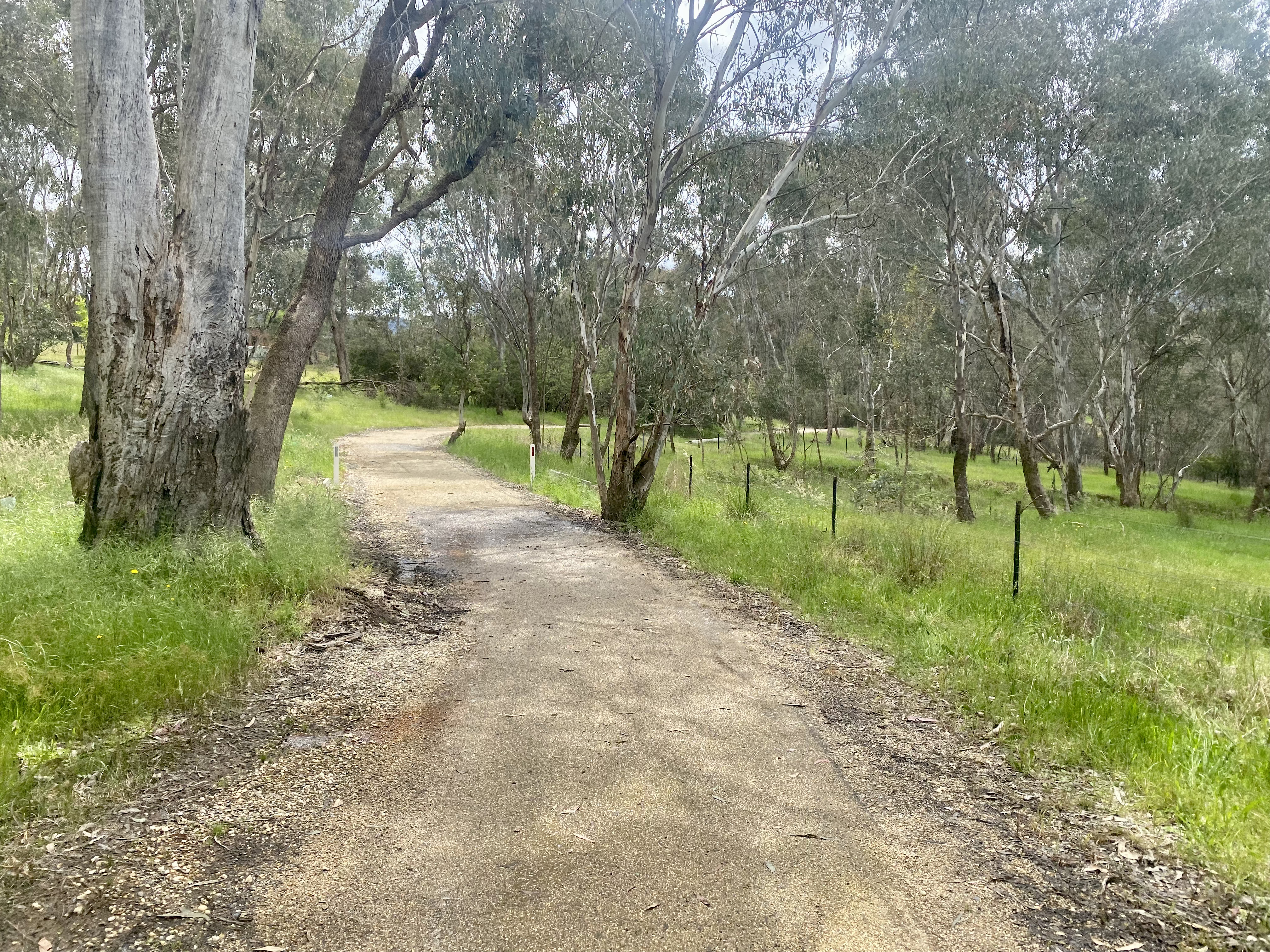
A goal I set for myself is to take routes where the traffic is limited – and ideally non-existent! That’s the power of a bikepacking setup – the bike works well on pretty much anything: gravel roads, fire trails and even single track are totally ok to ride. On this day I almost perfectly achieved the goal of extremely limited traffic (with a very short exception), in part because of some lovely backroads but also because of the extensive use of rail trails. This determined the start of the day – heading for the High Country Rail Trail via Shelley Road.


Shelley Road was a great ride – farmland, climbing views, road-side streams and forests all beside a quiet road – at least on a Sunday. This is quite the contrast to the Murray Valley Highway – a route you could follow to Tallangatta but is not recommended. On the 2.5km between Shelley Road and the exit to the rail trail I was frequently passed by cars and trucks – not nice when there is no verge and regular oncoming traffic too.

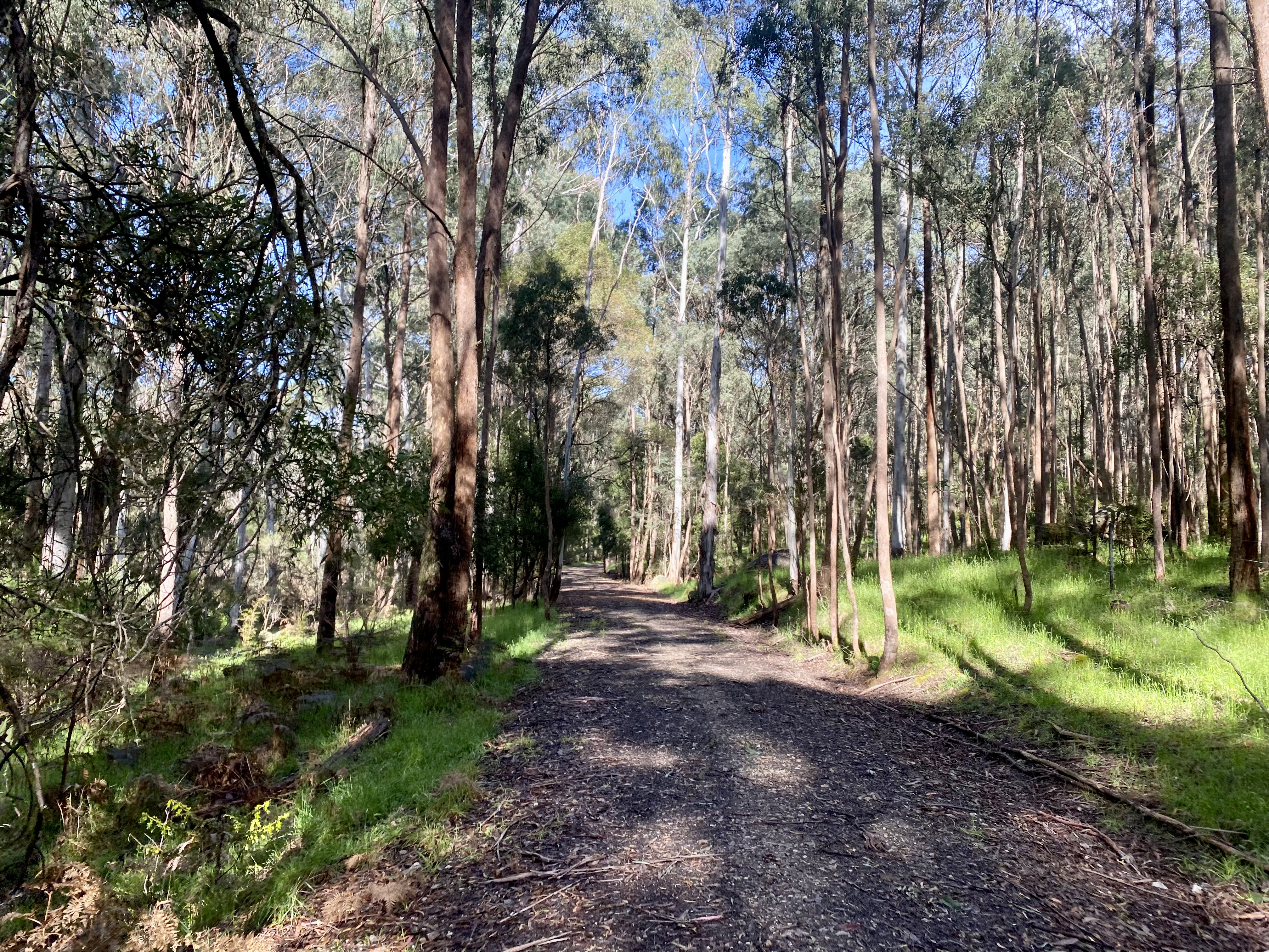
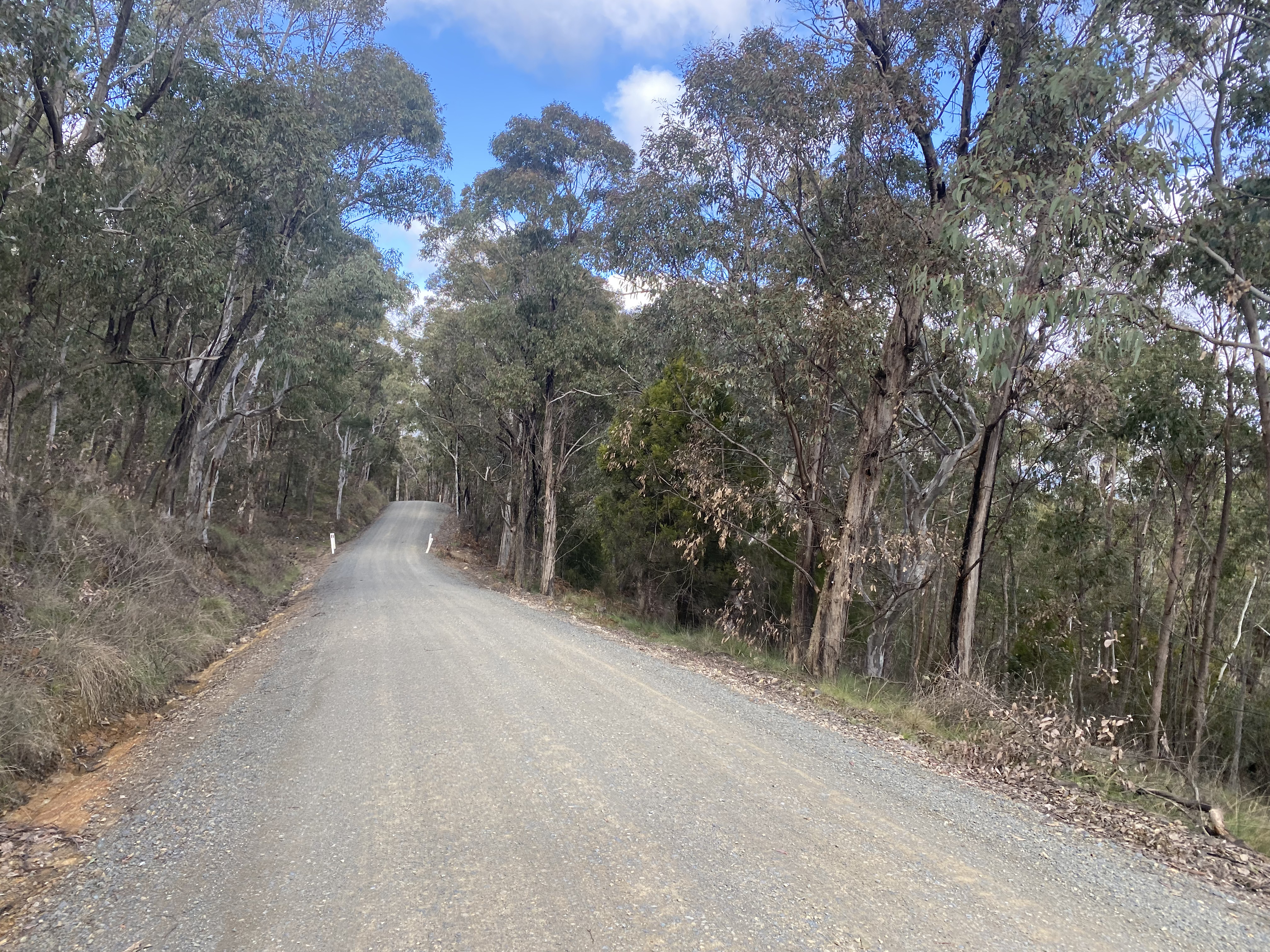
I have ridden the High Country Rail Trail twice now (once up and once down – both nice but I know which is easier!). I would divide the route between Shelley and Tallangatta into three main chapters, with the first the “forest descent” – around 10km of trail that travels between properties – you get glimpses of farms as the trail runs between or beside them – but it is mainly through native forest. This is smooth running and is good fire trail quality, but given the trees it is also prone to a lot of debris to be careful of.


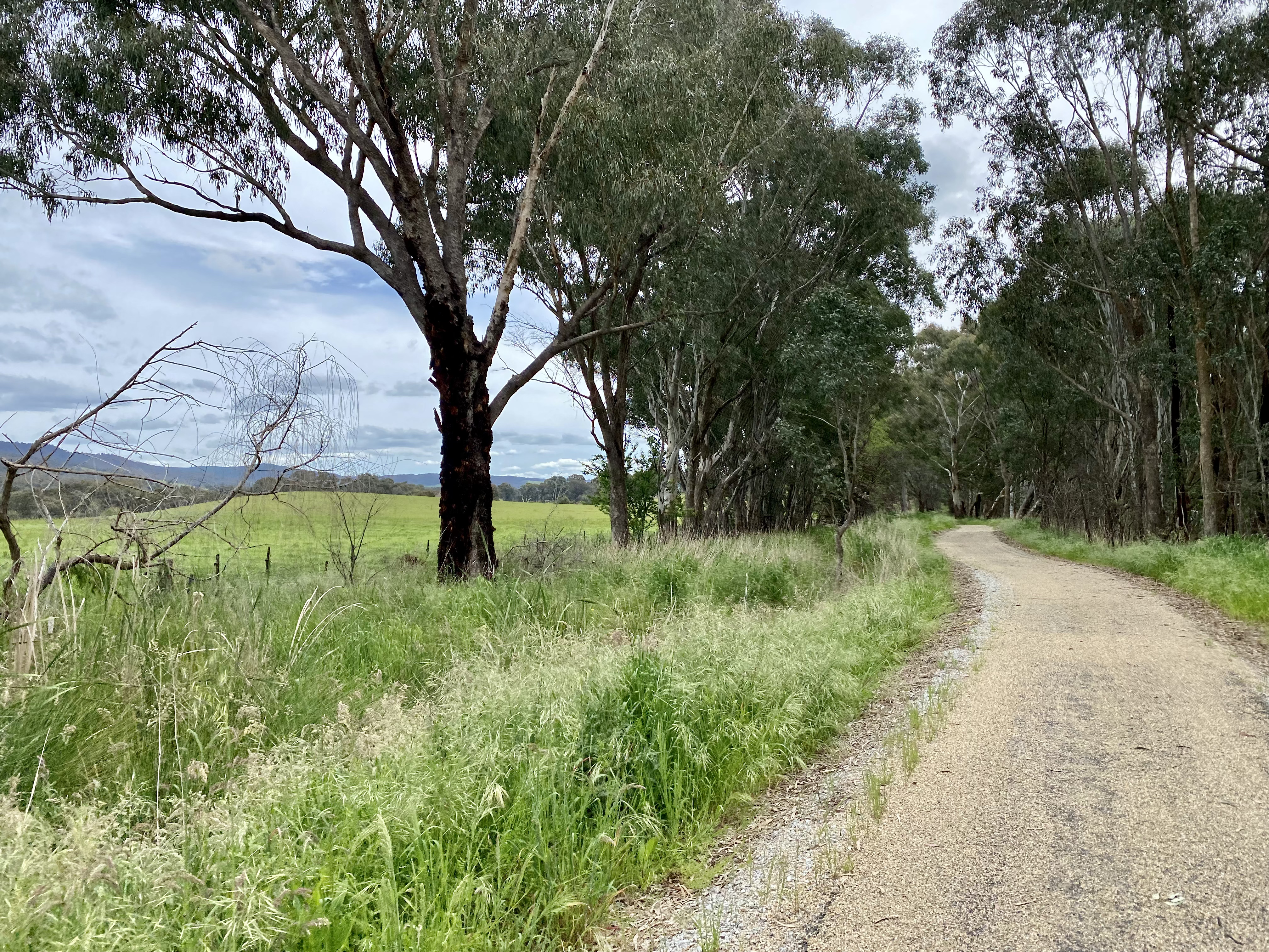
After crossing the highway (whilst “crossing” the highway occurs elsewhere, these are via underpass), the second chapter begins – the “farmland descent”. Just over 19km through to Granya Road, there is initially a gentle climb before downhill recommences. This part of the trail is varied but also slightly annoying. The reason? Gates. Lots of gates. Most but not all have small gates, but all require a stop, unlock, proceed through and relock. Nothing as easy as the mini cattle grids you find on the Tumbarumba-Rosewood or Brisbane Valley rail trails.

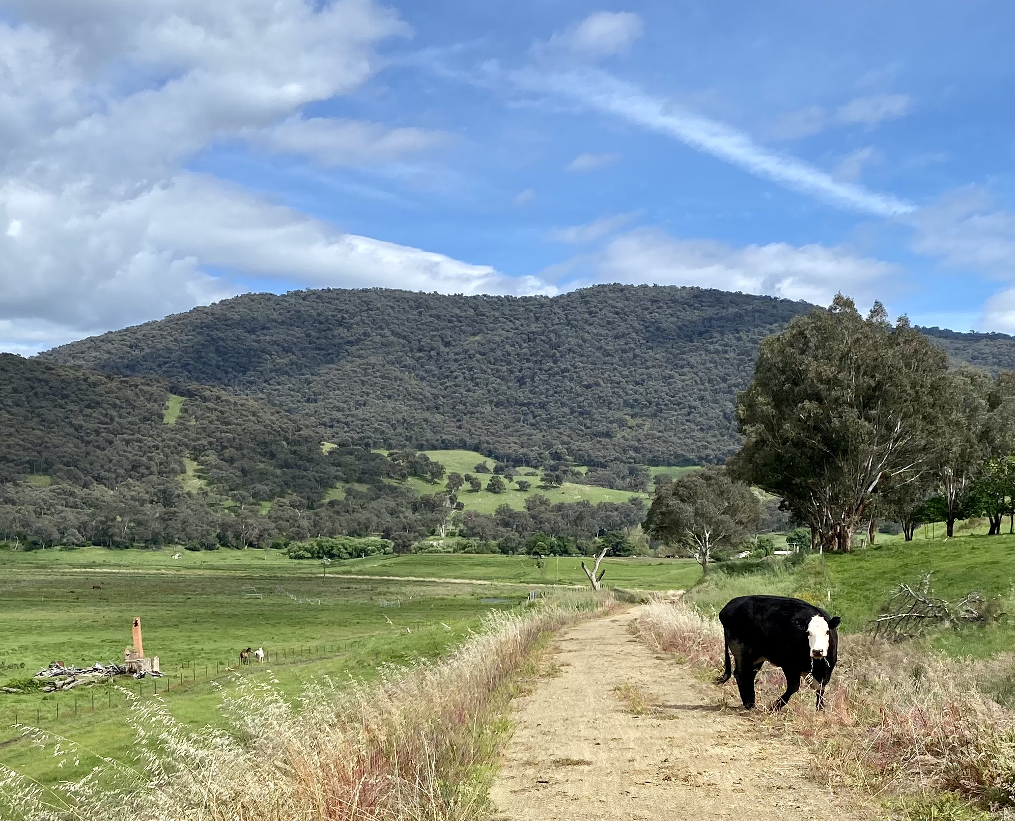
Another feature to note is that the trail can suffer from livestock being on the trail – either through trail degradation or having to carefully pass the animals themselves. One paddock seems to suffer particularly, and to top things off a cow decided to charge at me from some distance – despite my stopping so that I could slowly walk past. Never mind!
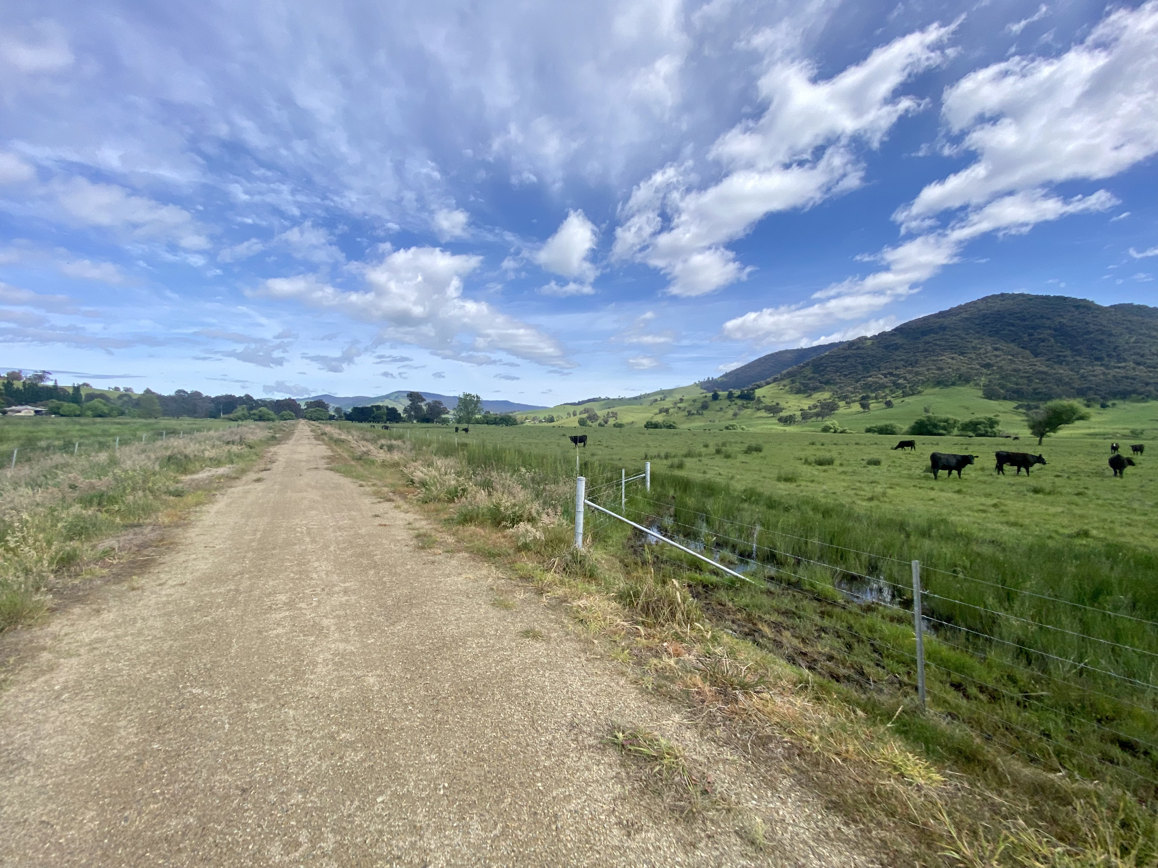
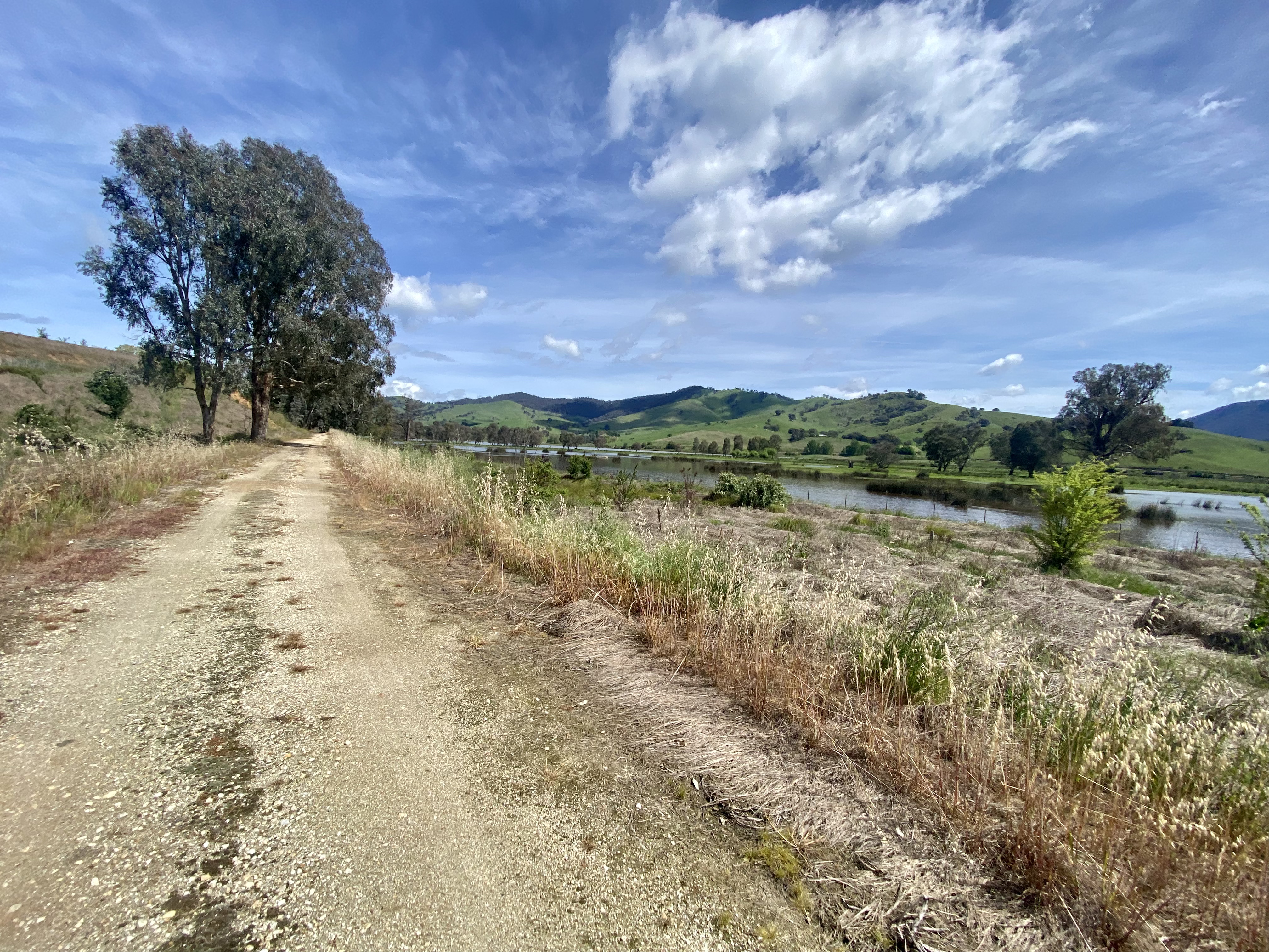
The last chapter comprises 15km of “river plains” beside Tallangatta Creek and Lake Hume. In stark contrast to the rest of trail this is quite exposed and I expect in summer would be very hot. It is also highly varied – from trail, to a narrow short single track diversion to navigate (approaching Moscrops Road). But this part has grids – no gates! The final run into Tallangatta is sealed. When arriving in town my recommendation of the easiest route is to go in via Towong Street East – although you can go to the old station and then head in via Womaatong Street. This is the best way out of town, as on the western side Towong Street does not have an easy direct access to the rail trail.


After a lunch stop, the rail trail to Sandy Creek Bridge and then beyond continues in a similar vein to the river plains stretch into Tallangatta. From here, it is a cross country trek from Huon to Yackandandah. Whilst there is a high-level plan to connect the High Country and Beechworth to Yackandandah rail trails, this route isn’t too bad – other than a 3km stretch on the Kiewa Valley Highway.

Whilst cycling Allans Flat Road I had the great fortune of meeting a fellow cyclist Rick, whose home town is Yackandandah. We had an awesome chat about long-distance cycling and different routes we had taken, and he encouraged me to take the eastern start of the Beechworth to Yackandandah rail trail – a 6km stretch of path along, between and over the creek all the way into town. Although recently damaged by flooding, it isn’t really a “rail trail” in this part (more a cyclepath). Nevertheless well worth using unless you are in a super hurry.

After Yackandandah the trail starts out as a really steep and “up and down” roadside path. Don’t be too worried by this – it is very much the connection to where the trail becomes what you would expect – a smooth former rail route.


And speaking of smooth, the local council has made really good investment in the trail. The infrastructure (like bridges and fencing) is excellent, and whilst they work on the roundabout underpass there are signs to help you find your way.


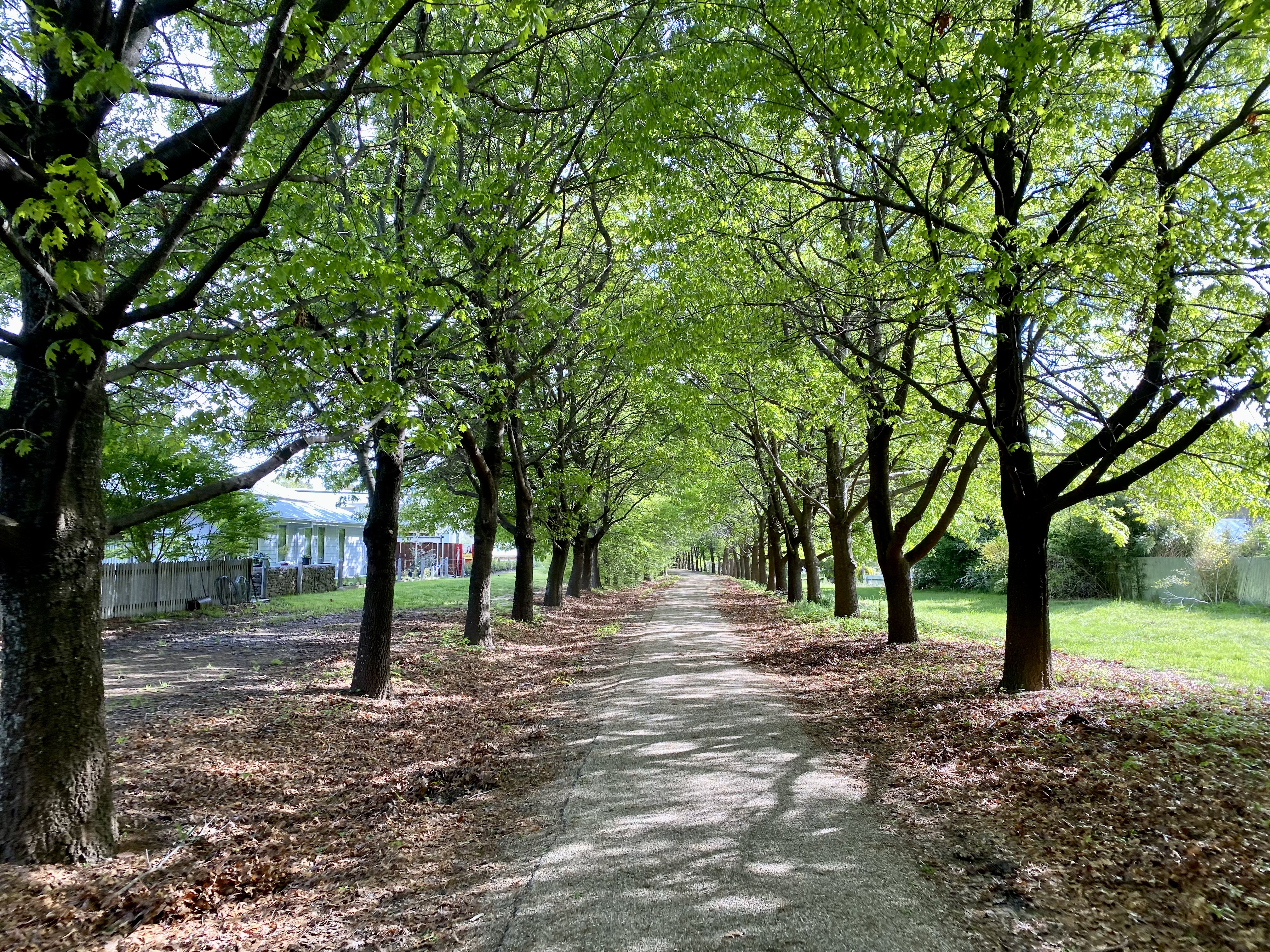
From here, the trail is really good. I chose to take a short cut via Star Lane, and would recommend you do too unless cycling as a family and really wanting to avoid any form of road. Although whilst the trail continues as a standalone trail before and in town (see below – great drainage – thinking of you Brisbane Valley Rail Trail), there is a stretch where a quiet gravel back road (Kibell Lane) has taken the place of the former rail line and you occasionally will be sharing the route with a car. Not so in town, where the final part of the route has separate and sealed pathways.
Day 4: Beechworth to Euroa
Day 4 was blessed as I dodged a lot of rain – and I mean a lot of rain. During the night it absolutely bucketed, so I was very relieved that the morning brought only clearing showers and damp roads.

The Murray to Mountains Rail Trail is a lovely piece of cycling infrastructure (see more here), and a great way to head out of Beechworth as it is lots of downhill! Approaching Everton, rather than heading on to the old Everton Station there is a clearly marked route onto Diffey Road that takes you to the small village of Everton itself – where you want to head if on-route most directly towards Milawa.


Technically, though, the most direct route to Milawa involves some main roads – like Snow Road. I opted to follow the clearly signposted on-road cycling route to Milawa and it was a good choice – whilst slightly further the roads were very quiet and took a scenic meander between local properties.


Heading out of Milawa I can recommend the Milawa trail – an off-road path that runs from Milawa, through Oxley, and on to Wangaratta. Part of the Murray to Mountains network, this provides the last of the off-road link before having to get on road to make it to Glenrowan (flood waters allowing). Snow Road was by far the busiest part of this route, and one you’ll be glad to get off when across the freeway and onto Glenrowan Road.

And Glenrowan is where the flat and straight starts – you do forget when living in a place like Canberra that a lot of Australia actually is quite flat. And therefore this is not the most exciting of cycling routes – although clearly you can make much better time when not pushing uphill. So, to add some variety, it is important to seek out the sights along the way. One of these is Winton Raceway – I’ve certainly watched motor races broadcast from there, and on this day I could just cycle in and checkout the few folk having a track day out.

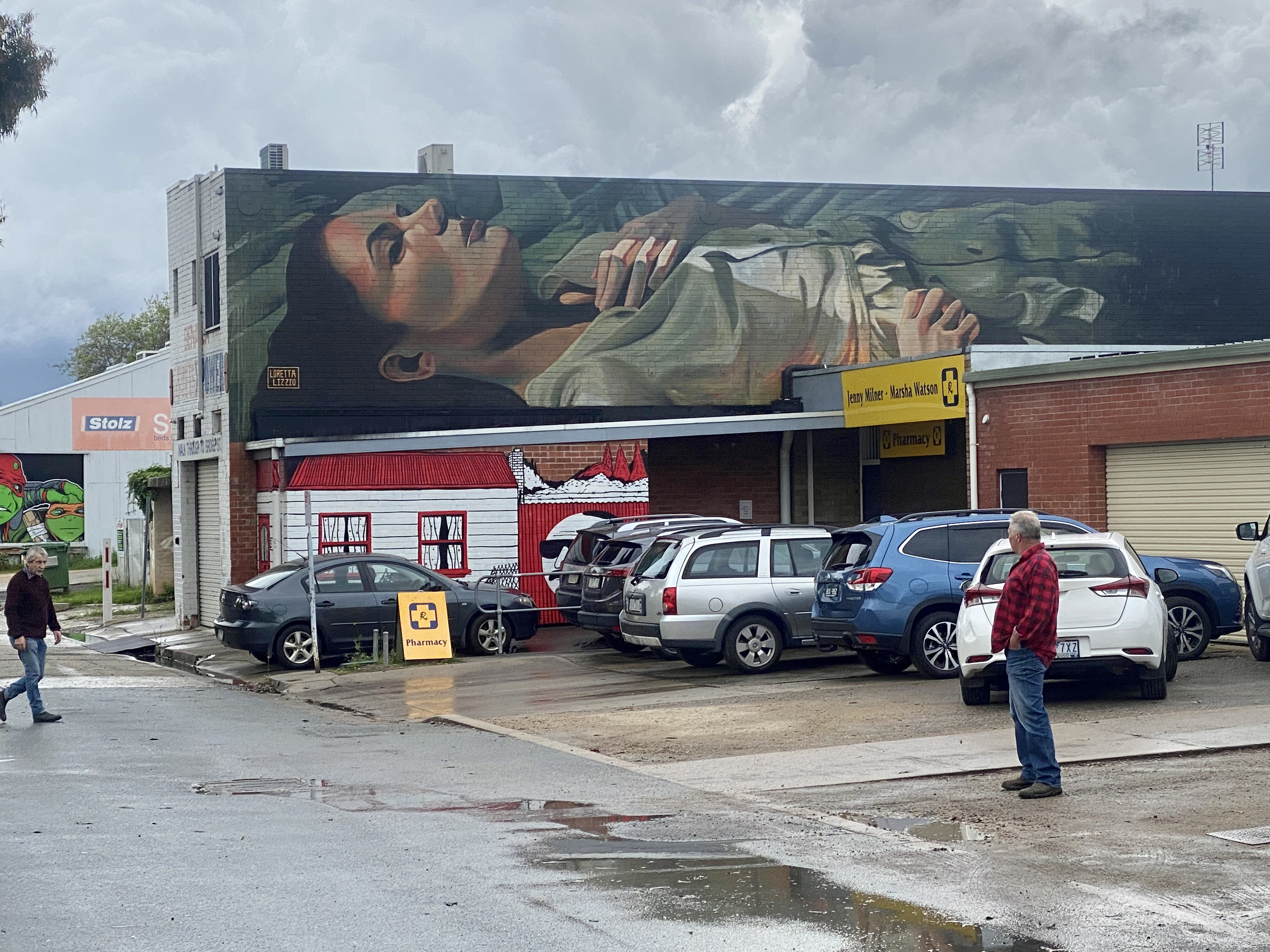
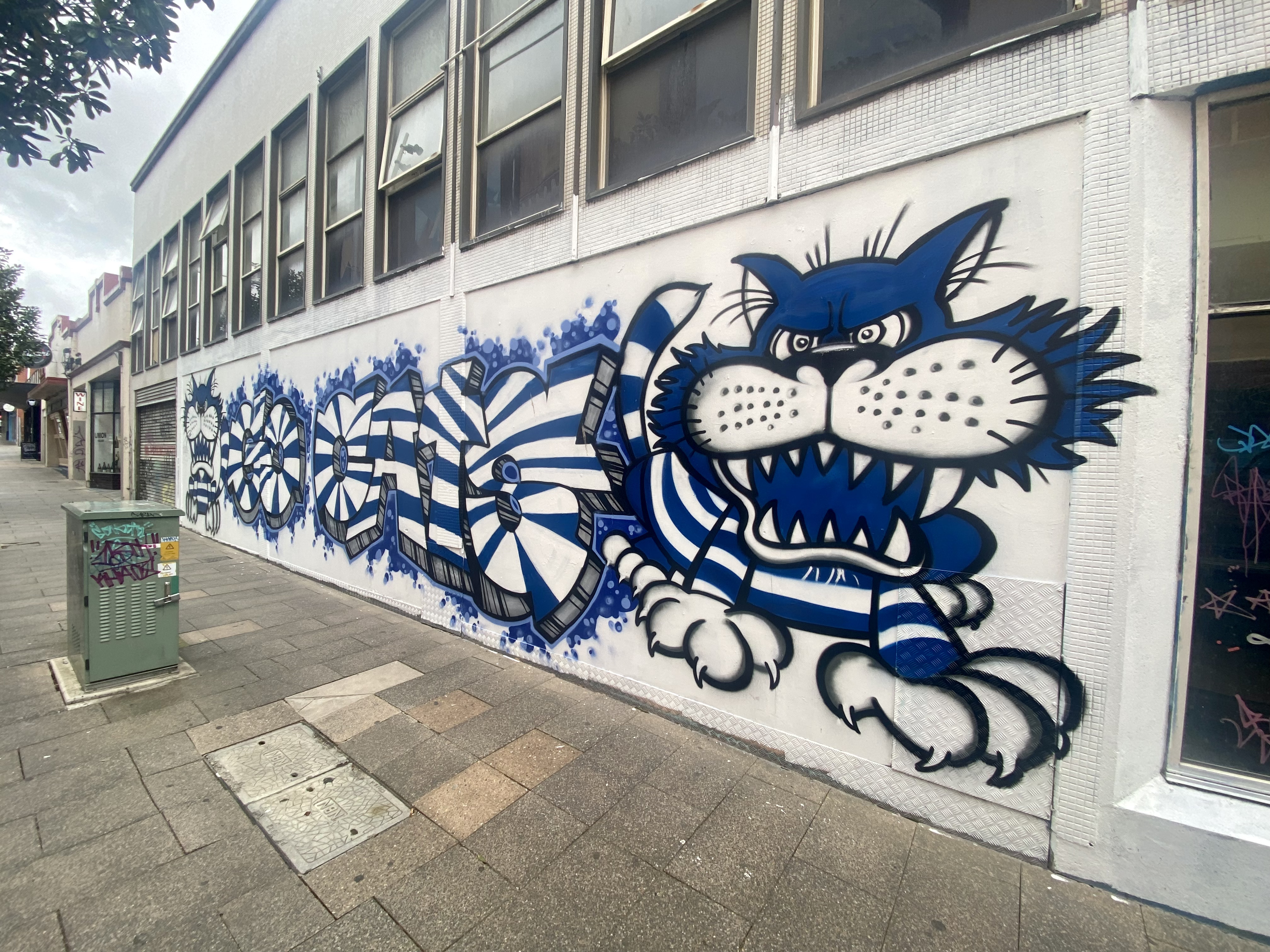
Benalla was my lunch stop and here I was yet again reminded of the power of travelling by bike – you just stop and discover things you otherwise would miss. In this case, the epic street art in Benalla: it is a thing, and I loved it. In hindsight and with the benefit of more online research I wish I’d spent time seeking out more of the artwork – you can avoid my mistake by planning a route using Visit Benalla’s online guide to the murals.

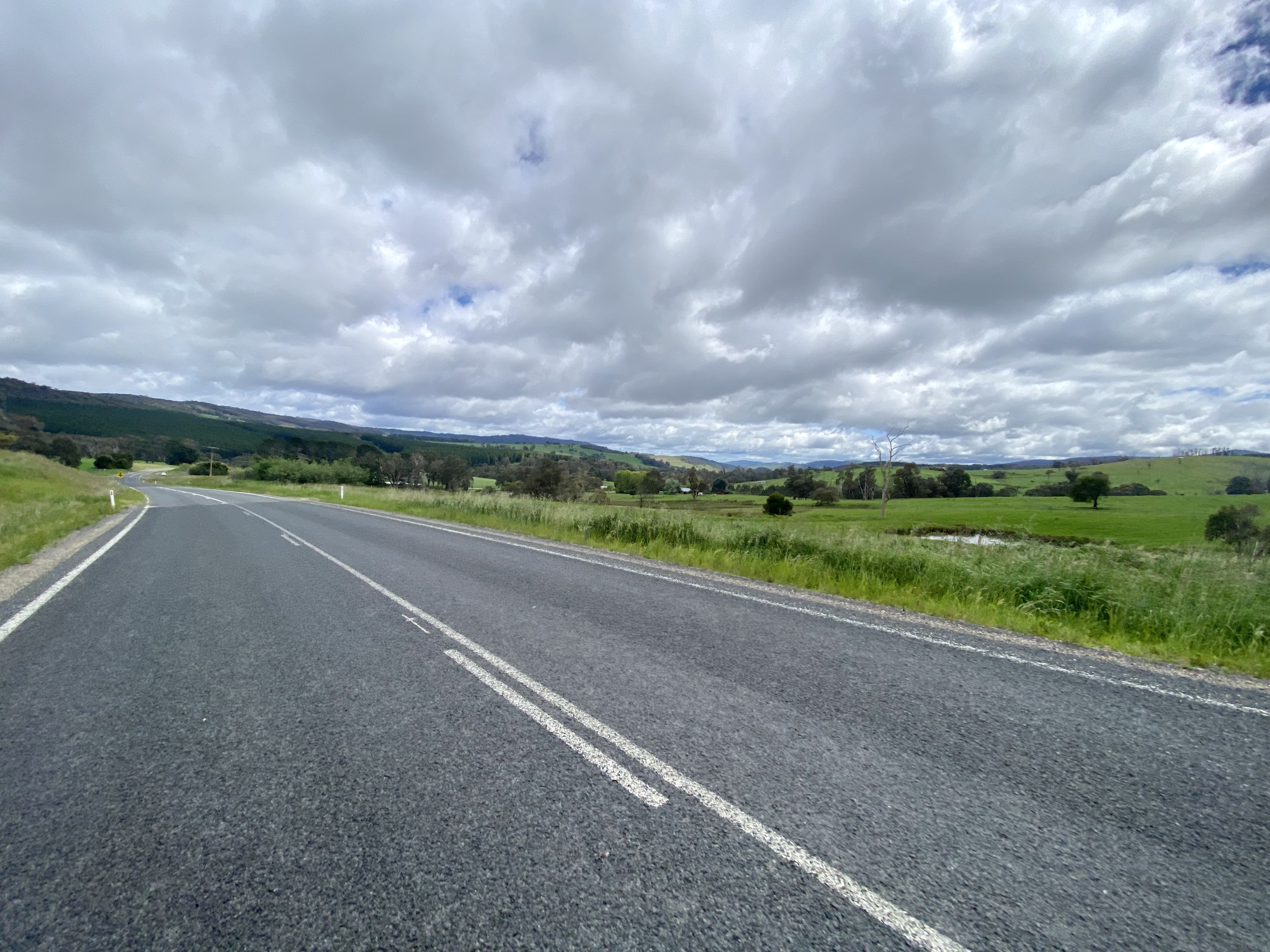
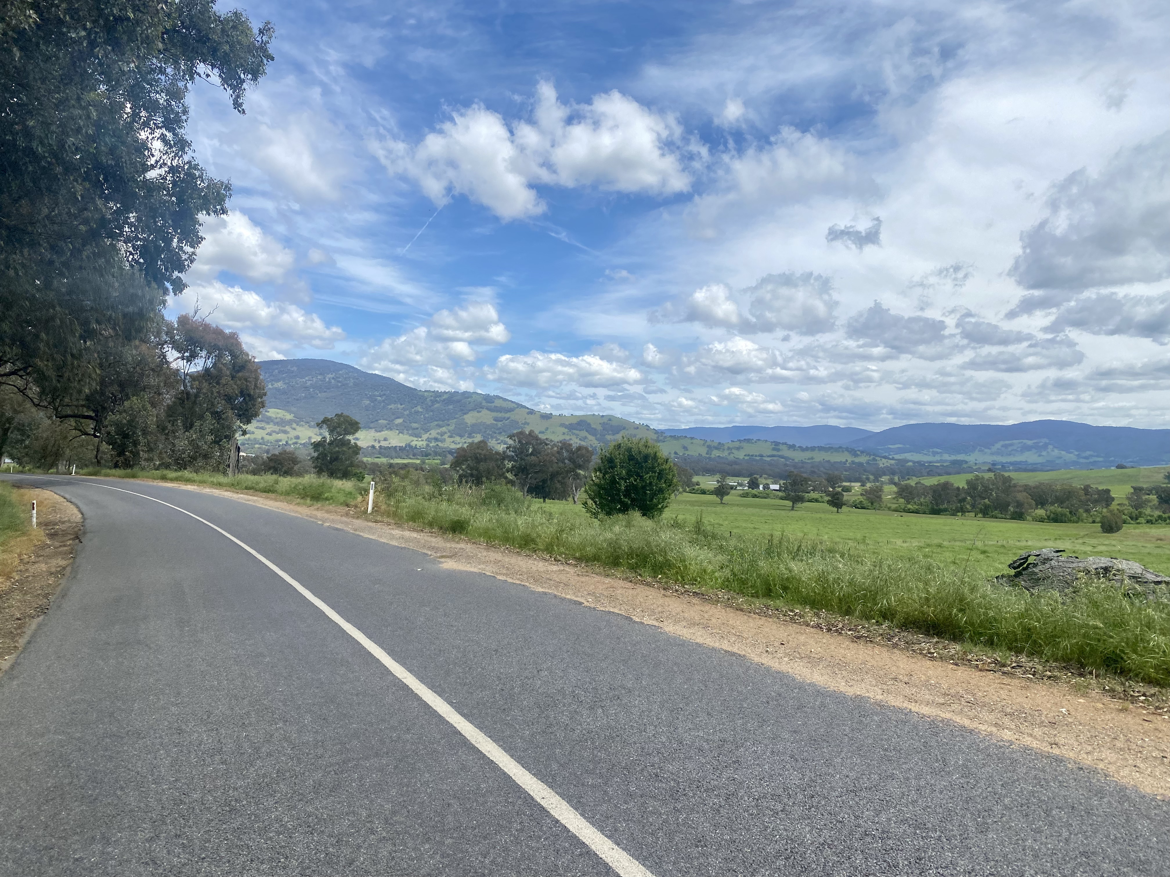
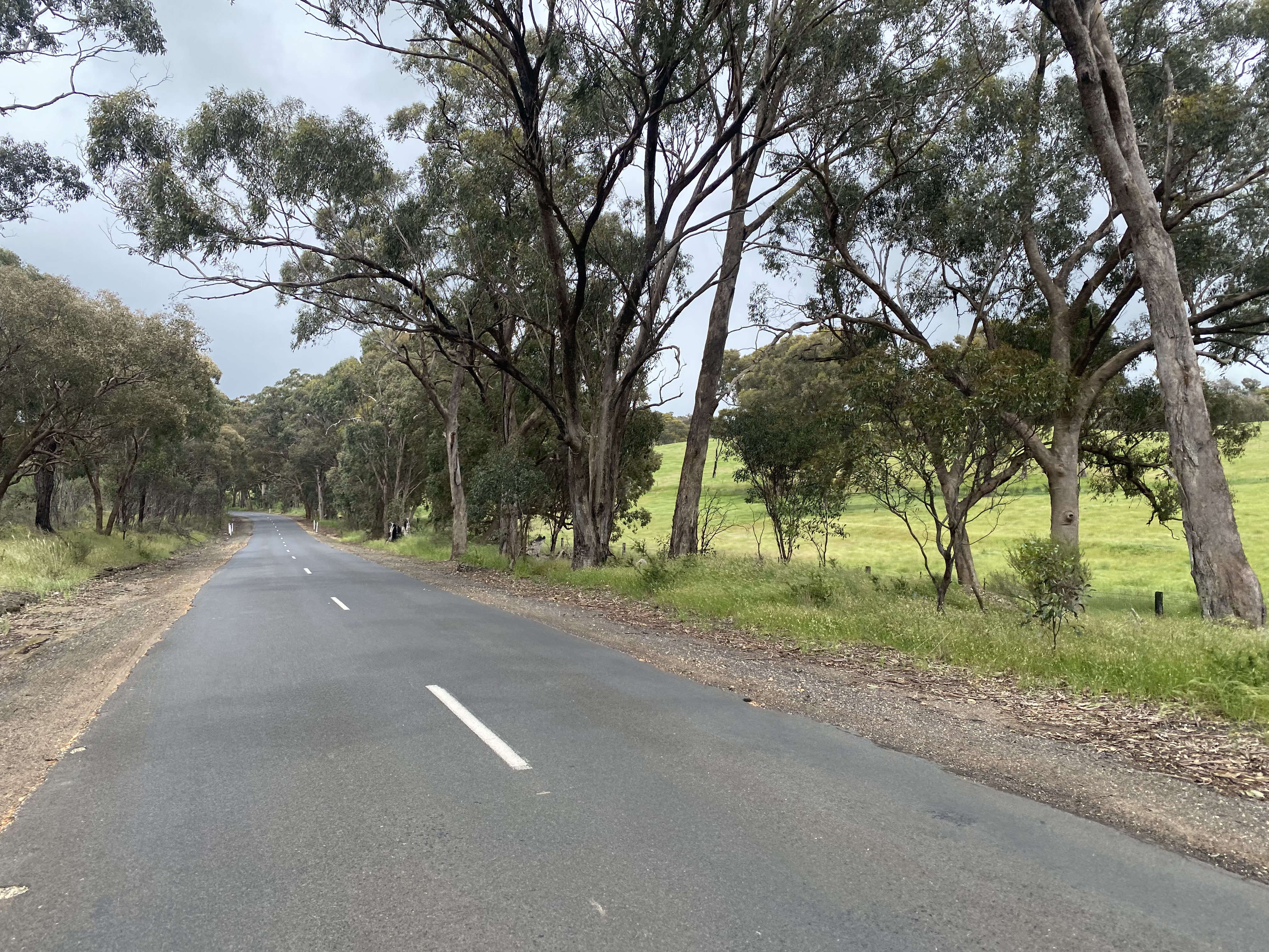
From Benalla to Euroa the best strategy to add variety is to seek out the gravel, and I found some good quality backroads to use, broken up by a brief stop in Violet Town. I wouldn’t say the scenery was monotonous, but I do think I would consider an alternative route from Beechworth if doing this trip in future. It really is a personal thing – some will really appreciate the relief from the challenging terrain of the prior three days.

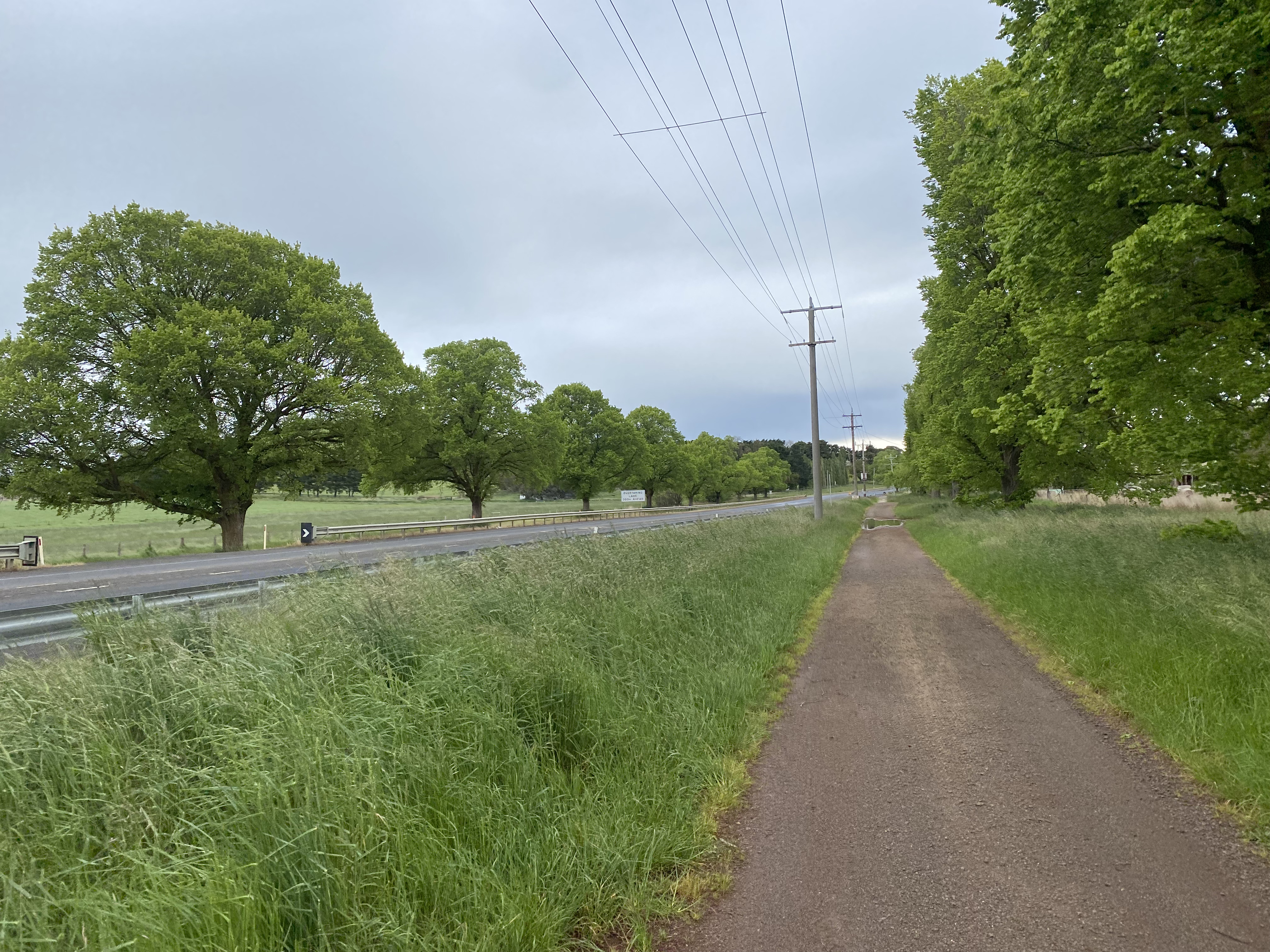
Day 5: Euroa to Riddells Creek

The flat continues from Euroa to Seymour. In good news, there is some gravel to find on the way to Longwood, which does look lovely in morning light. In bad news, the route from Longwood, through Avenell and on to Seymour is sealed, straight and flat. All you can do is hope for a northerly tailwind, rather than a southerly, and get it out the way. On this day there weren’t even very many trains to provide some change of scenery.


With the weather closing in, the re-emergence of hills on the way to Pyalong was a blessing. Yep, my wife thinks this thought process weird, but some hills are preferable to none.

I took the chance to shelter from the rain at the Pyalong pub. Coinciding with Melbourne Cup day I had the great pleasure of meeting Eric, a 92 year old former policeman who happily shared all sorts of stories and opinion. A great way to pass the time whilst drying out in front of the fire.

From Pyalong, the great backroad travelling continued through to Lancefield. Nice, despite the weather.


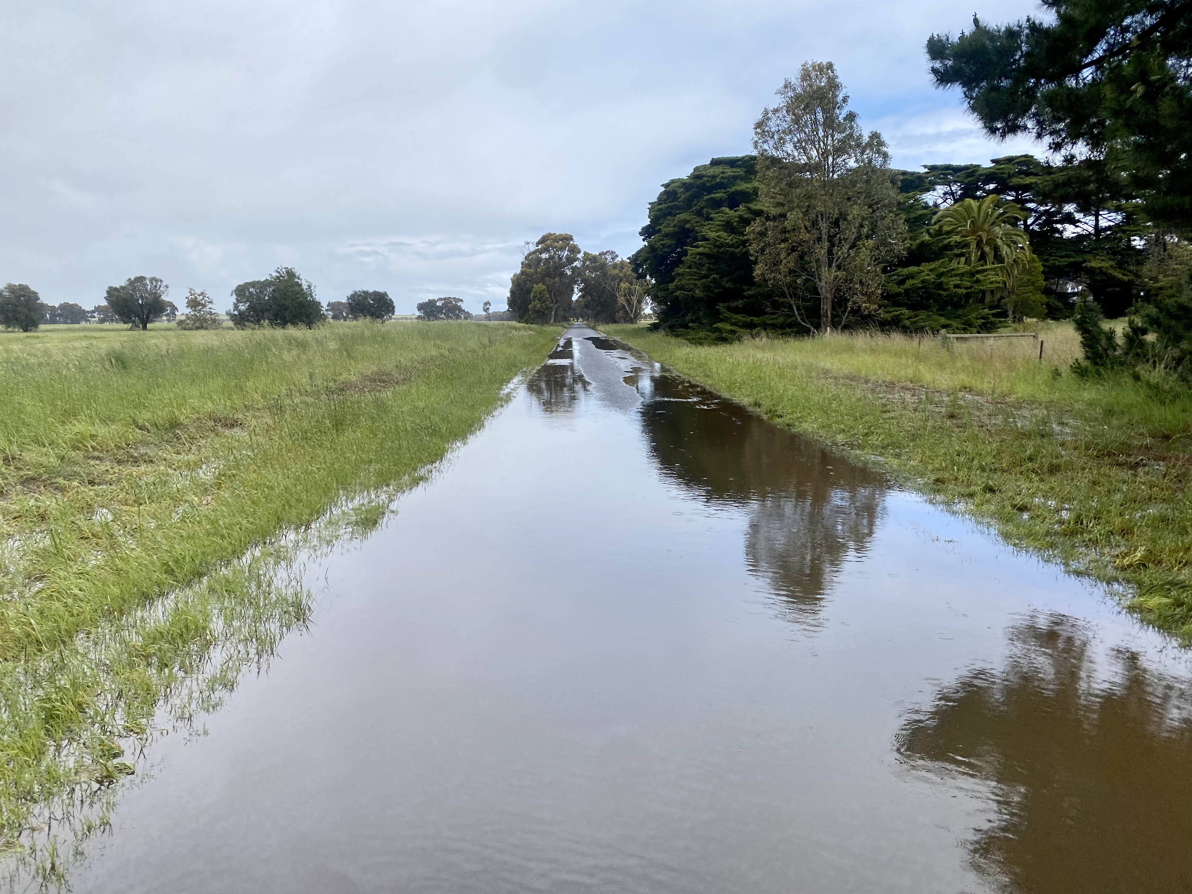
Lancefield is where the route deteriorated for cycling. In the dry the Romsey-Lancefield path would be great, but it is unsealed and after rain was very muddy. The verge of the Melbourne-Lancefield Road provided an ok alternative but on the final stretch to Riddells Creek the road is very poor for cycling – little or no verge and frequent traffic. Thankfully this was only 7km to town as this part of the trip – roughly Lancefield through to Gisborne – was the least fun part of the trip for traffic.
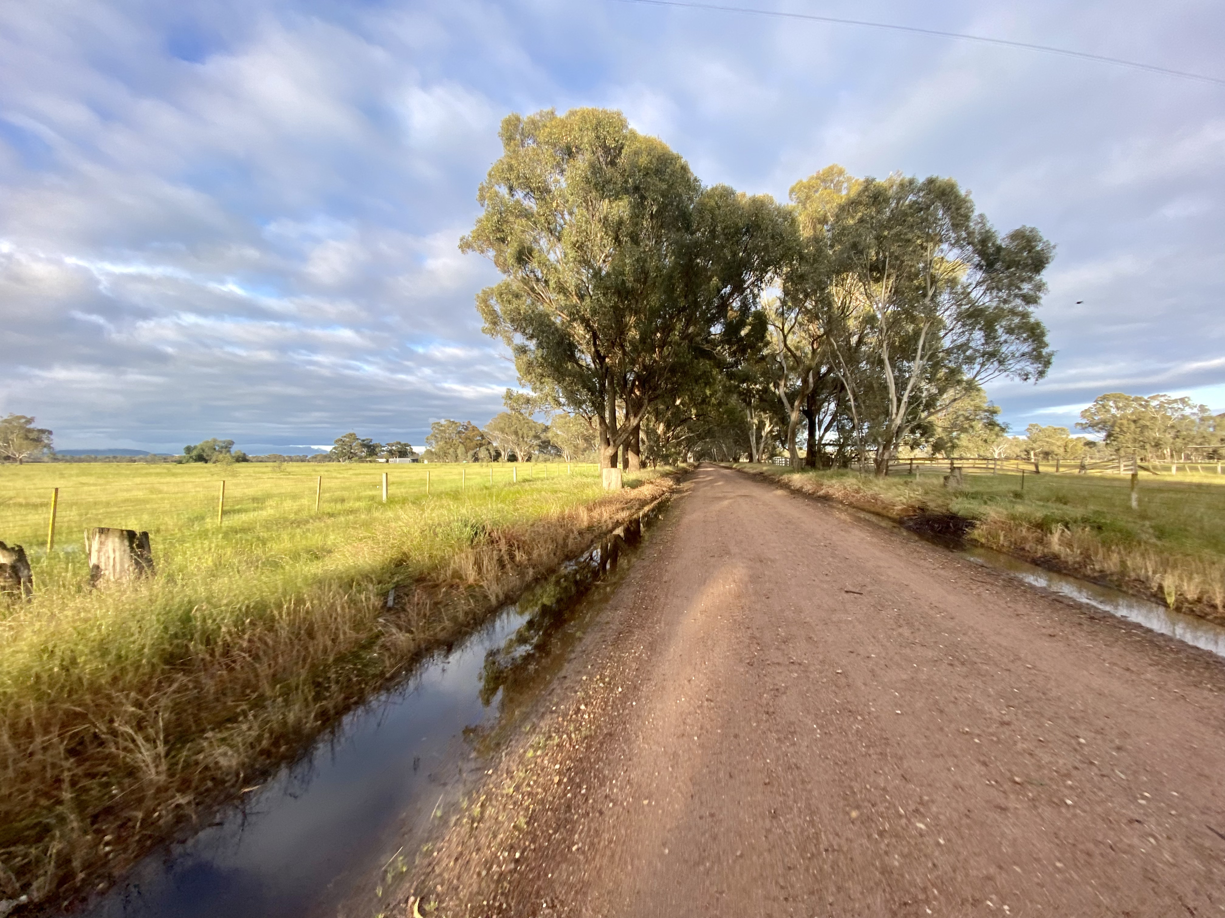
Day 6: Riddells Creek to Geelong (ferry)

The short stretch from Riddells Creek to Gisborne is similar to the route into town, but from Gisborne onwards the route becomes much nicer. After a back road explore (apparently past houses from The Block), I managed to connect to Melton Road – busy but pretty quick, ok verge and nice views.


After a short gravel detour on Chapmans Road, the route starts to have thinner traffic and some interesting views. I also stopped to check out the views of the dam and memorial that you pass on the road.
Bacchus Marsh is reasonably straight-forward to navigate, and offers options for coffee. It also sated my desire to visit the place Rod Marsh got his nickname from. After town the route through to Lara was one of my favourite parts of the trip. Whilst relatively flat (and blowing a really solid headwind), there were great backroads, views and some gravel entertainment.


After the main road exit (which is pretty quiet) there are some great roads to travel – Box Forest and Buftons Roads – although these are subject to flooding. After passing the Ford facilities at You Yangs you head into suburbia at Lara, and from there can head to Port Phillip bay.


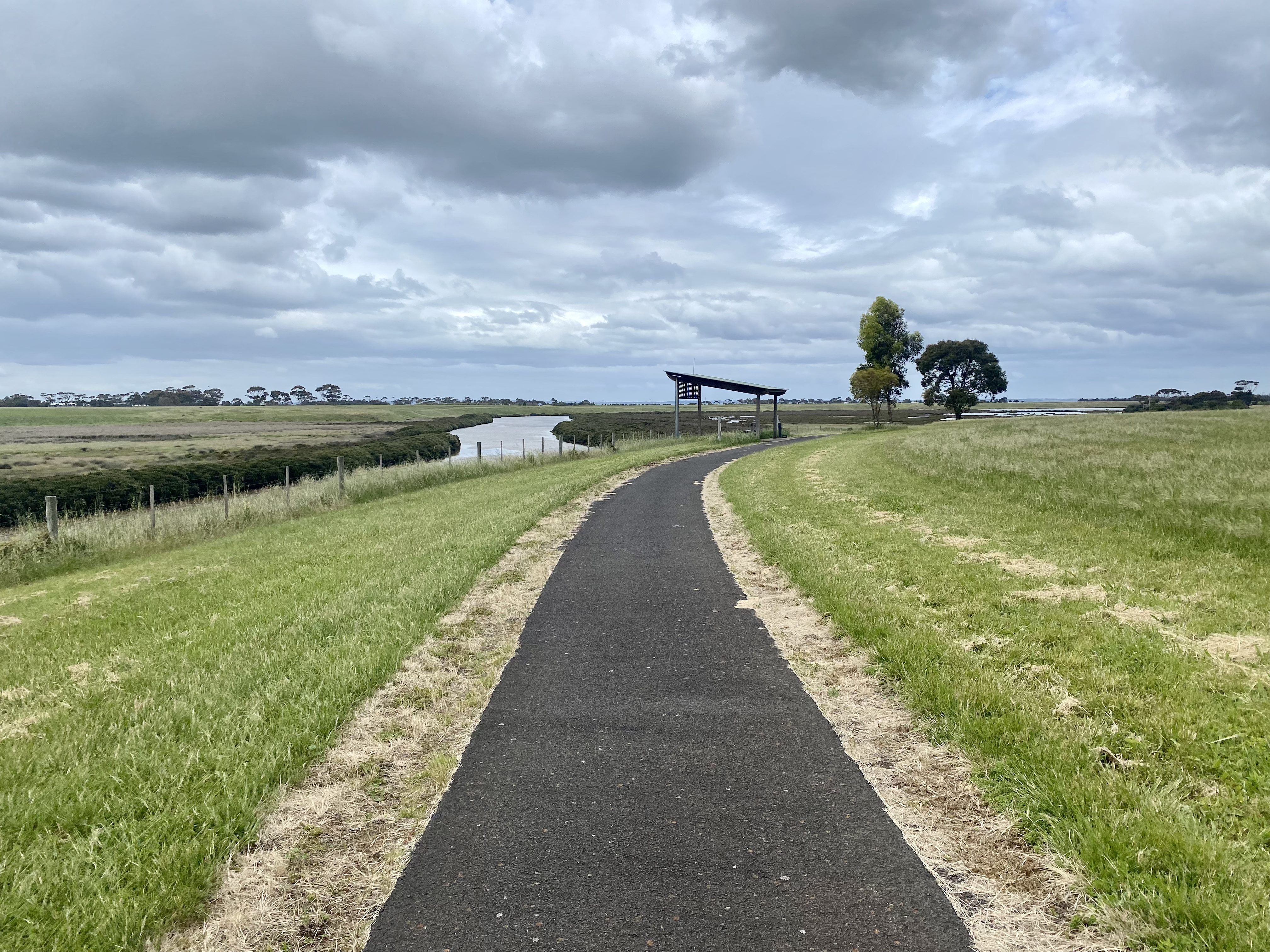
The cycle around Port Phillip is both easy and interesting. You see a lot of the industrial operation of the port, although things start to get less so as you pass Corio Quay and head into Geelong. It is a very pleasant ride and if you have the time before the ferry leaves it is worth going into town as there isn’t much to do at the ferry terminal other than getting on the boat.


On arriving at the ferry, the process could not be simpler. Simply cycle up to the terminal, get your ticket inside (bringing your bike into the terminal), then walk your bike to the pedestrian entry which is where you will be asked to leave it. It is super quick – between arriving at the terminal and being in a cabin (if you book one) takes 10 minutes. And, on arrival in Devonport, your bike will be in exactly the same place and you can leave straight away. All much much quicker than with a vehicle.

Tasmania!
I’ve deliberately focussed this article on getting to the ferry – after that it is very much up to you. My trip had largely been planned around going to Derby – meeting up with some mates who were flying into Launceston (from which car travel took over before flying home from Hobart).
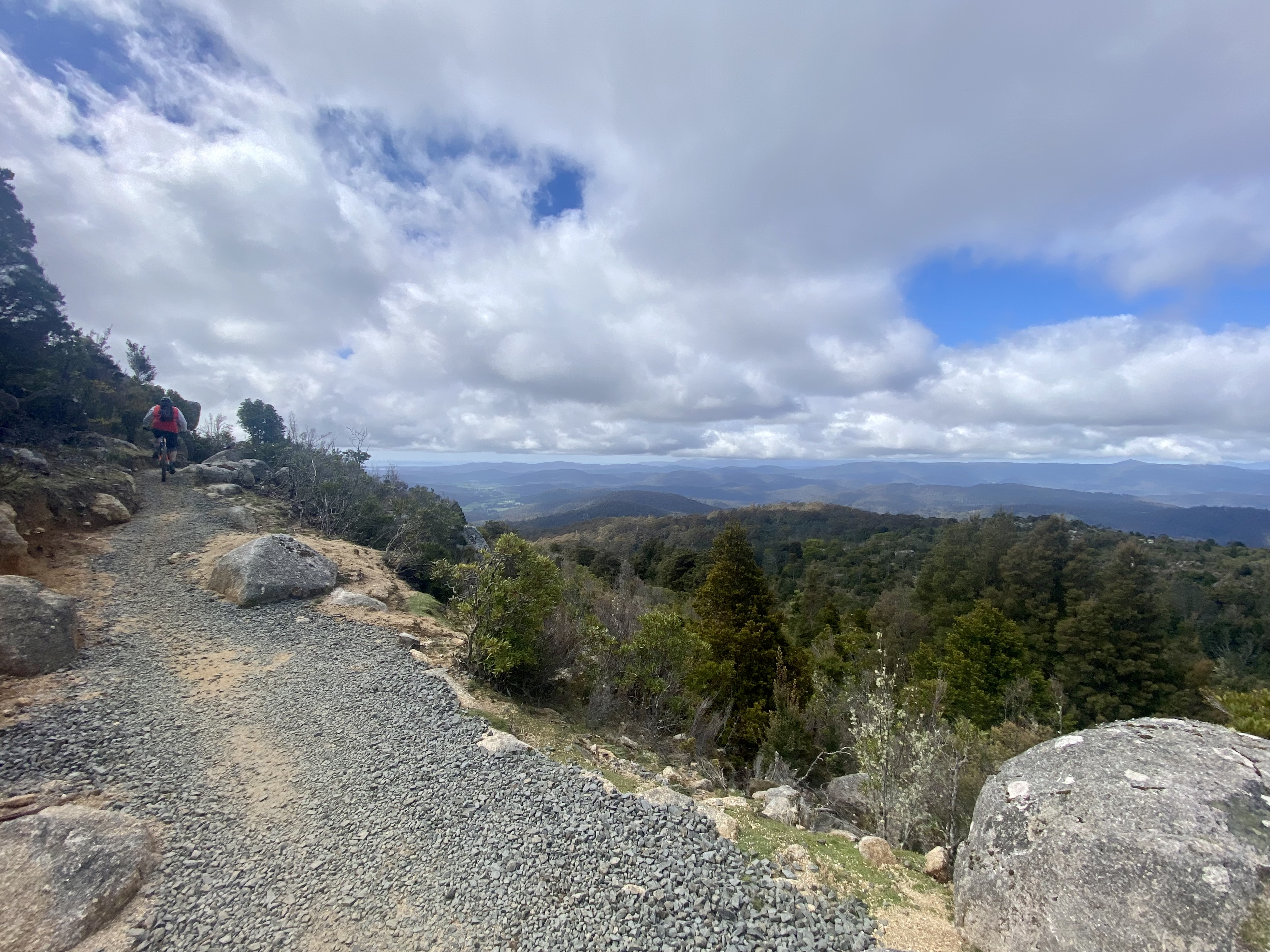


The mountain biking mecca of Derby did not disappoint. Whilst a bit underbiked for the true downhill sections (an alternative would be better to a cross-country), the trails – particularly Blue Derby and Bay of Fires – we amazing fun. Super. We used Vertigo and I would happily go with them again.
Tips, recommendations and things I’d change
Pubs, breweries and other things


- Walwa Hotel is an above average country hotel. The couple who recently purchased the property have put in new beds and seem to be gradually upgrading the rooms, but no upgrade is required to the meals or service. The help yourself continental breakfast was solid too.
- Airbnb can be a great alternative to a pub or motel – particularly if you can use a kitchenette for dinner and breakfast is included. I stayed at a wonderful farmstay Airbnb at Euroa and whilst it stretched my budget a little it was amazing – including lovely breakfast, farm views, and extremely comfortable. The only downside is it is a little out of town – you can buy supplies in town and use the kitchenette for dinner. I also stayed in a ‘granny flat’ style place at Riddells Creek – compared to a pub room it offered great value for money and a classy host who called in advance to ask what I wanted as supplies for breakfast!


- Brews & Breweries. Yes, pubs and breweries are a focus of my trips. Some recommendations:
- Yet again the Tumut River Brewing Company did not disappoint. The food is good and very reasonably priced, and the beer outstanding value for money. One of the very best, which sadly as at October 2024 has ceased trading.
- I was surprised to discover Two Pot brewing [now closed as at 2026] in Yackandandah, located within the Star Hotel. I followed the golden rule of trying the Kolsch and was not disappointed (not many breweries make one, so when they are passionate enough to do so it tends to be good). It was great to drink outside and enjoy the afternoon sun accompanied by a great Sunday afternoon band.
- Bridge Road is also a favourite I enjoy returning to. Book ahead and make sure you can have a great pizza with your brew of choice.
- Valhalla Brewing [now closed as at 2026] was also a nice discovery in Geelong. In addition to their own brews and great art, I have not seen a more expansive selection of beers from other breweries. Impressive.
Things I’d think about doing differently
To be honest, I would happily do this trip again as planned. I would, however, consider two things that might be solved together:
- I’ve mentioned earlier the extended ‘flat’ between Milawa and Seymour. When planning this trip I seriously thought about going from Milawa through Whitfield and over the range through to Mansfield – and from there picking up the Great Victorian Rail Trail to cycle to Yea. I’d like to try that.
- Some of the worst sections of road on the trip around Macedon, which might be avoidable by coming through Yea. It also is possible that this is just trading one set of less than ideal roads for others….
Other recommendations and tips
I visited two bike shops on this trip. If you need some things before jumping on the ferry it is easy to pop into Marshall’s Cycles in North Geelong. Very helpful and likely to have the consumable you might need. On return from Hobart I booked my bike to be boxed by the crew at Roll Cycles. Just be aware that heading to the Hobart airport there is no Uber XL, so booking a wagon taxi in advance is a good idea!


