

Having chosen Myrtleford as our base for exploring the Murray to Mountains Rail Trail, the trick was to find a way to explore some of it without having to do a return trip on exactly the same route every time. Such an option presented itself with a perusal of Strava heatmaps – on road via Stanley to Beechworth and then a return via the trail.
Myrtleford to Beechworth
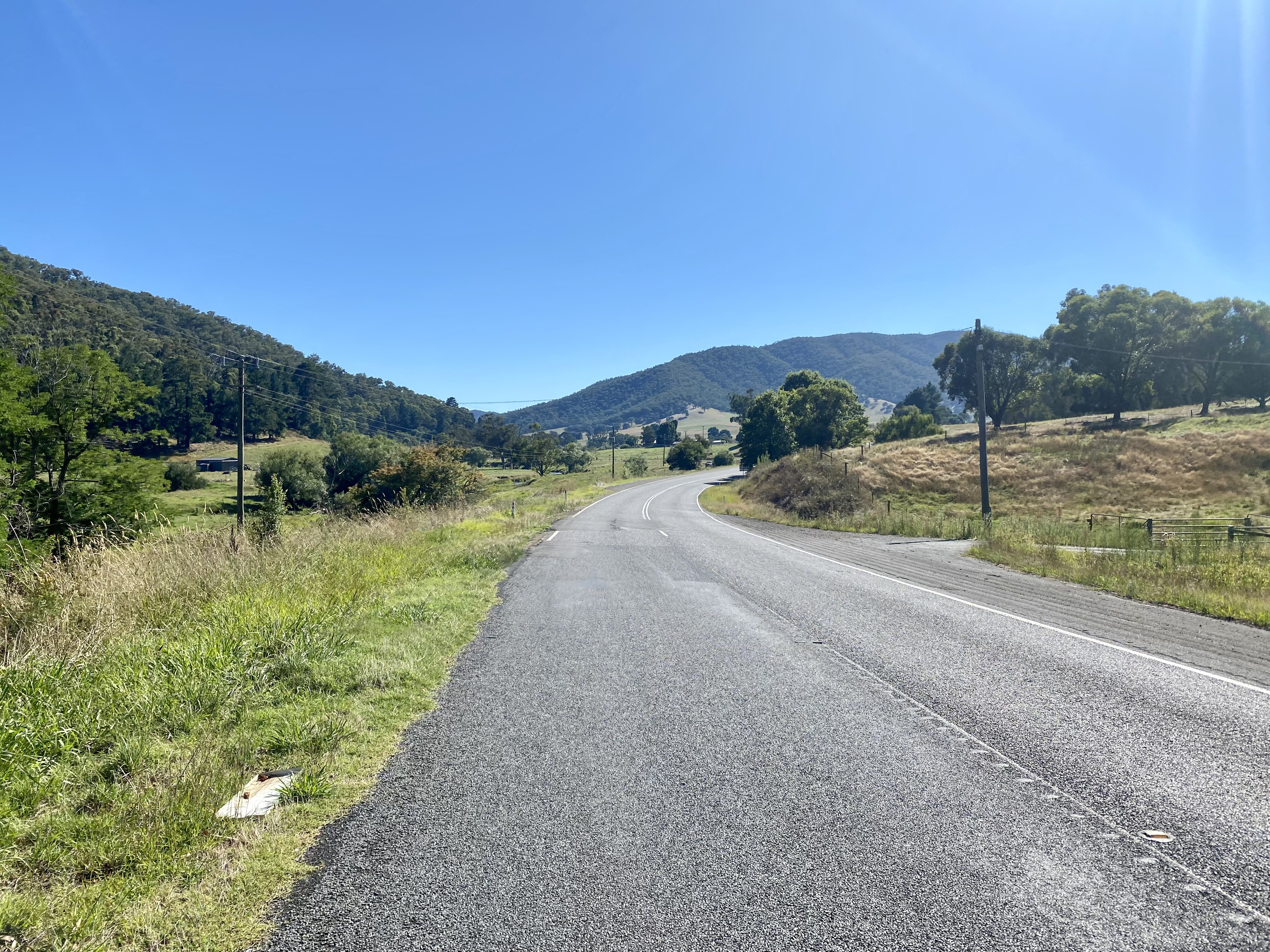
Heading out of Myrtleford, the road to Yackandandah follows the valley of the Barwidgee Creek – very scenic and like most valley rides offering a gentle incline. The road does have regular traffic, but it is not of particular concern despite the limited verge (we rode on a Saturday morning).


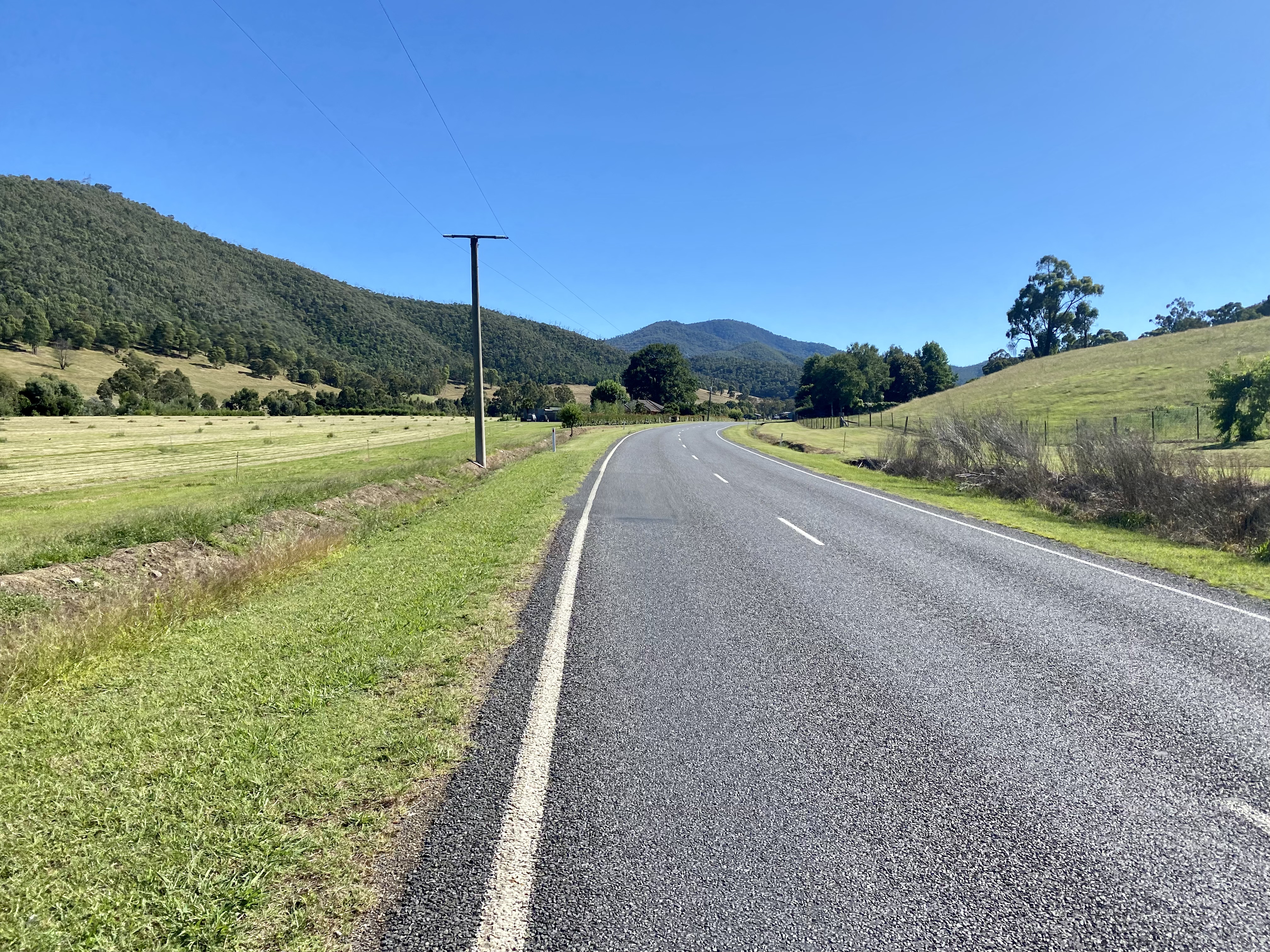
After the turn into Myrtleford-Stanley Road (road naming does not come with heaps of originality sometimes), the climbing begins and it is a really nice one. Infrequent traffic makes for a pleasant ride as well as a solid workout that includes a 3km stretch where the incline is around 9%-10%. Eventually opening up to orchards and farmland, the small village of Stanley is where the road starts to get a little busier. Fortunately this part of the journey also coincides with a descent, so this makes for a rapid 15 minute scoot to town.


On arrival in Beechworth it is well worth taking a break before heading to the rail trail as there is a lot to explore. If you want to explore the shops make sure you bring a pannier or two. Or maybe none if the strategy is to minimise the purchases (of course, CyclingGravel would never resort to such tactics with Mrs CyclingGravel…..).
Beechworth to Myrtleford


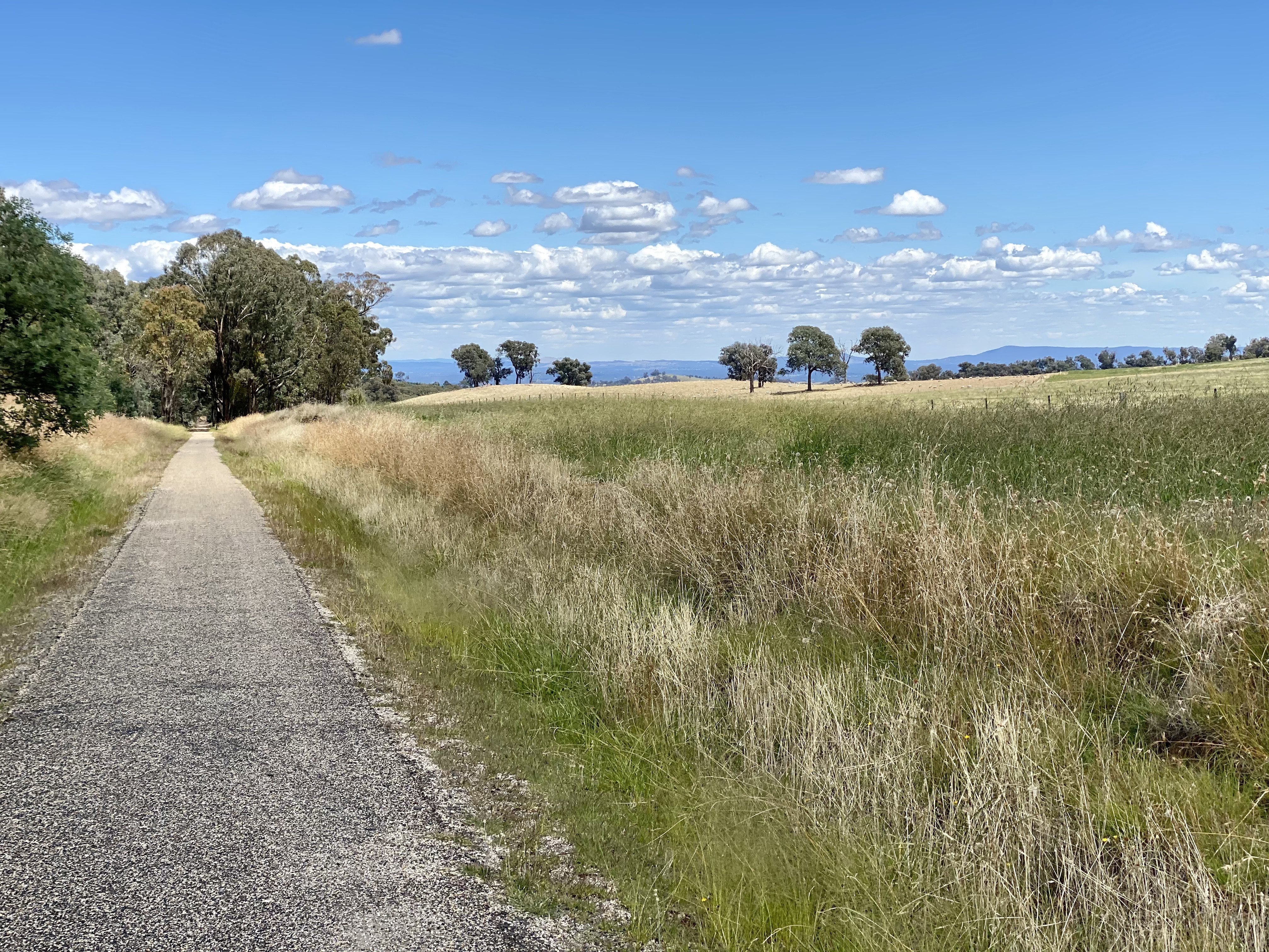
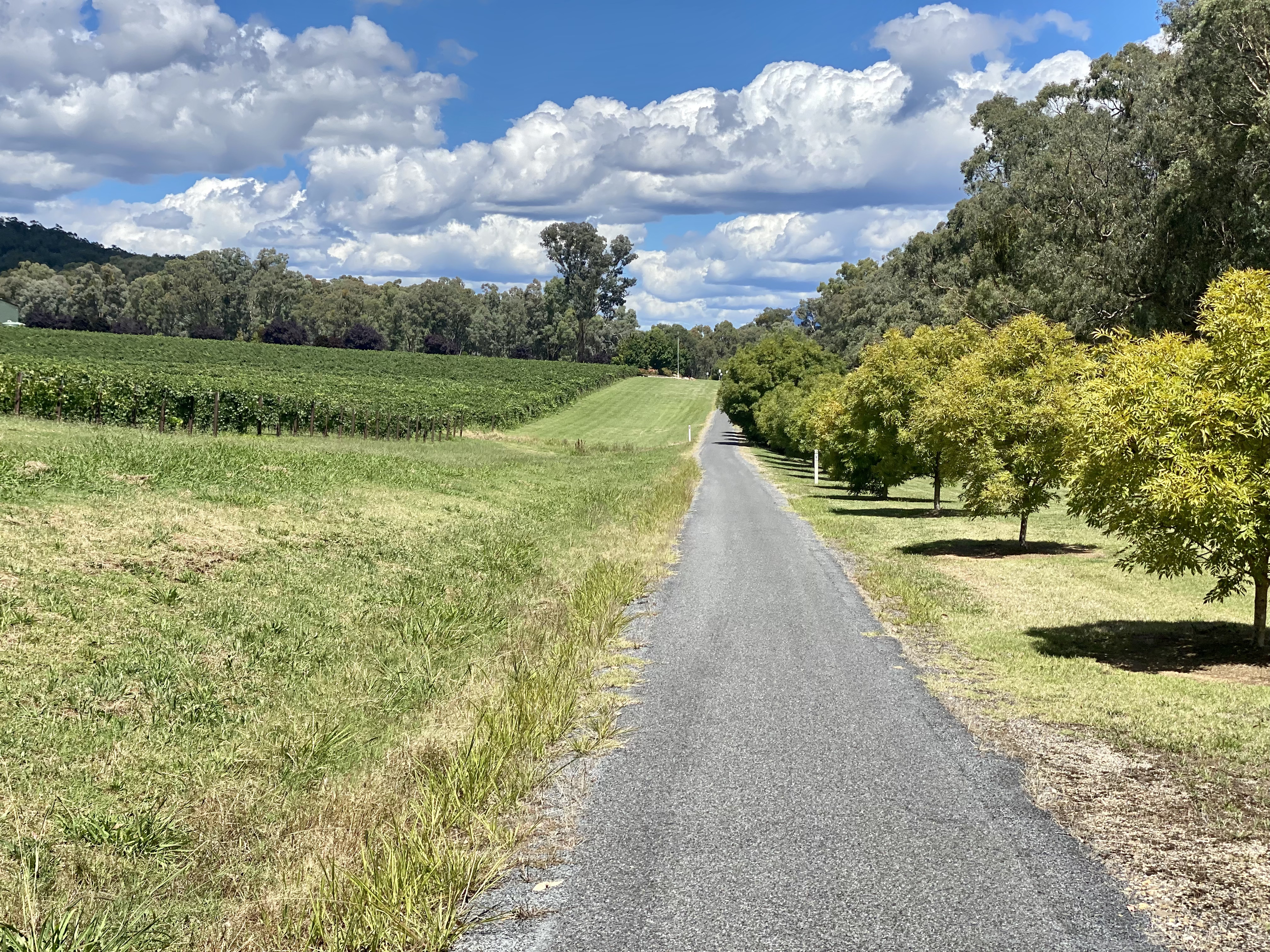
I really love this rail trail. It has so much to offer, including the variety of scenery and views. Starting through Beechworth, the route opens up and goes through farmland and forested areas. On the descent you really appreciate the work that has been done to keep bridges over roads and the quality of the trail which is well sealed.

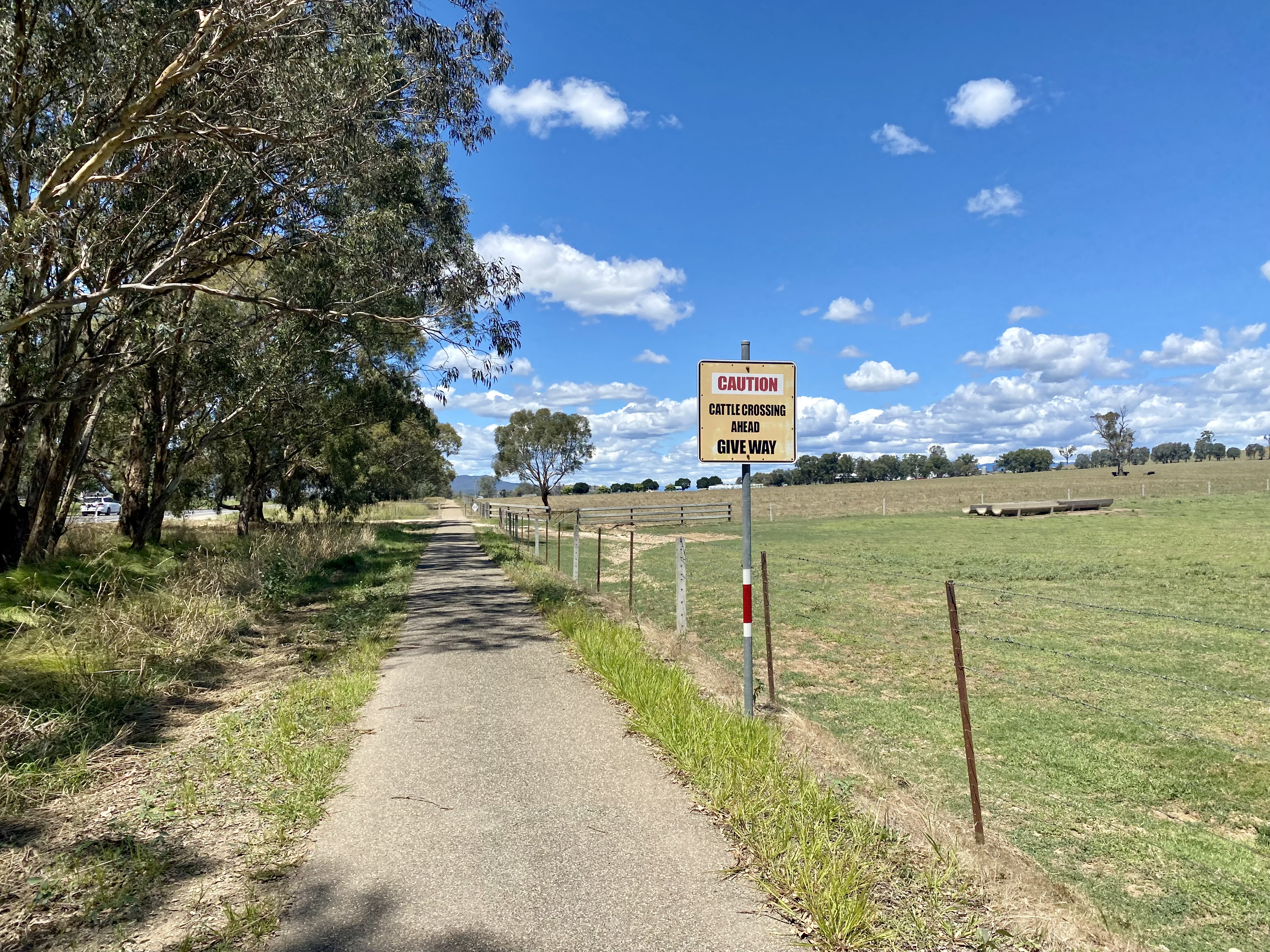

After reaching the bottom (and an available toilet stop at Everton station), the route follows the river valley until a climb up to Taylors Gap. There is very interesting information about some of the history of the area, and also a shaded area to take a break at the top. When you get here, all that remains is a gentle descent over the last 10km to town. Nice.


Details of this ride
Travel guidance and suggestions

- Bridge Road Brewers is my recommended place to stop for lunch, and they were very accommodating of finding a place for the bikes. If this is not up your alley, don’t worry – there are heaps of options in Beechworth to choose from.
- The Rail Trail provides a gold standard for signage and information on distances. Very well done.
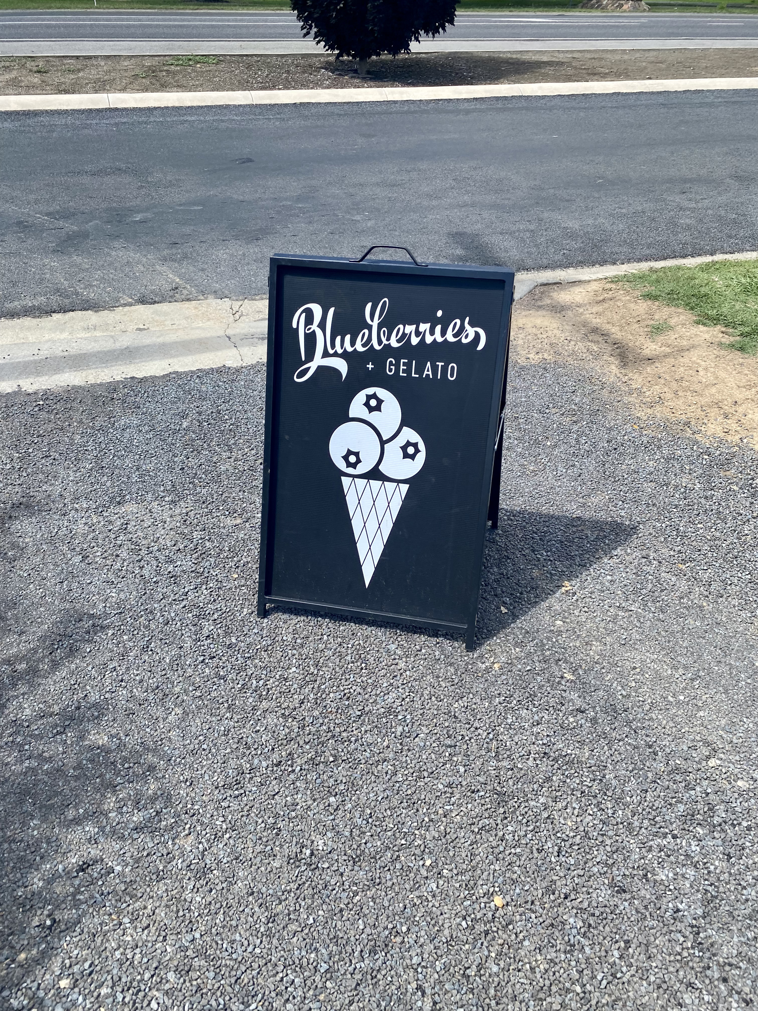
- At the end of a long ride, Alpine Blueberries offers a nice stop to complete the trip.


