
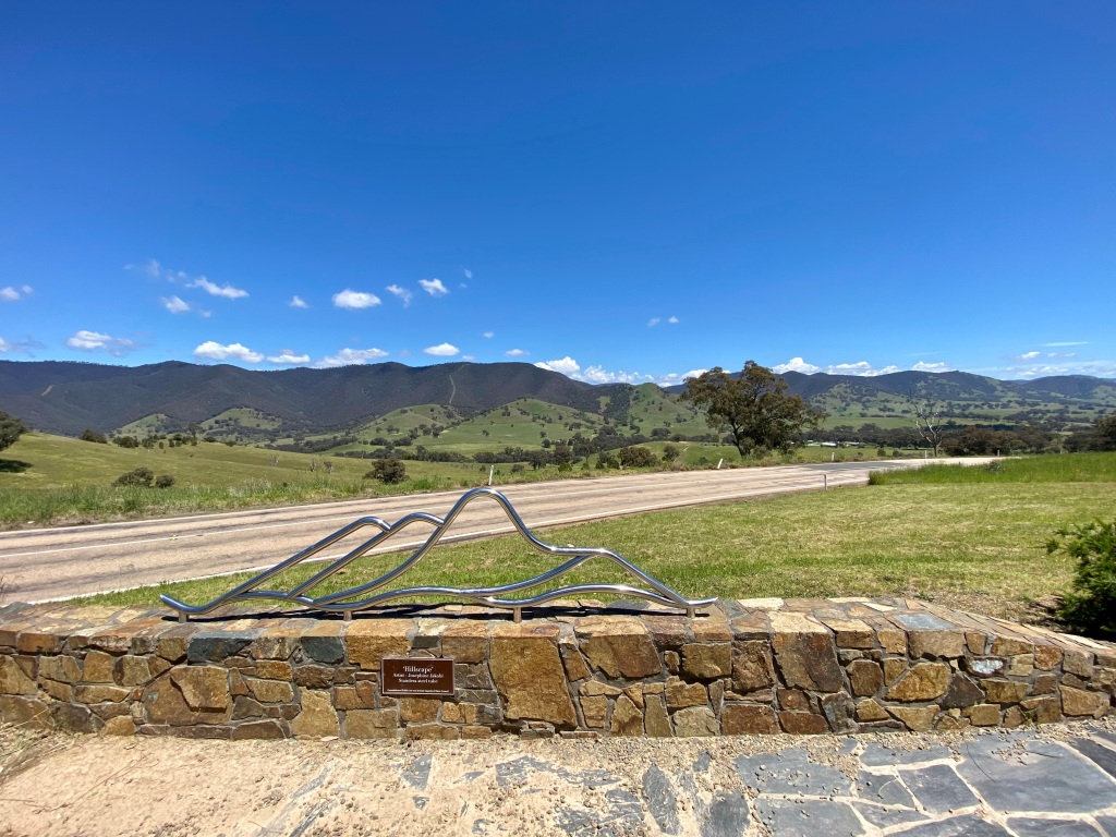
The route: Canberra – Cooma – Bombala – Delegate – Orbost – Marlo – Bairnsdale – Bruthen – Omeo – Hotham – Bright – Mount Beauty – Tallangatta – Corryong – Tumbarumba – Batlow – Tumut – Canberra
Having tried three day adventures, CyclingGravel decided to branch out into a week long tour. Over 1,000km and more than 14,000m of climbing as you go around, along and through the Australian alps. But it was amazing! If this is inspiring for you to go adventuring on your own multi-day journey that is awesome – I hope you have a great time. But each of these days, in whole or in part, can also be adapted for a ride.
Day 1: Canberra – Cooma
The original plan for the trip was to ride to Cooma via Tharwa and Bobeyan Road. I’d done this before, and whilst there is a lot of climbing there is also some tremendous descending at the other side. Unfortunately the start of my trip happened to coincide with an extremely wet and cold spell. Thanks El Nina. This meant I was quite concerned about what conditions would be like over the mountains.
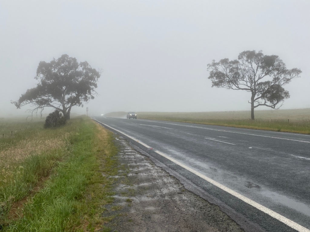
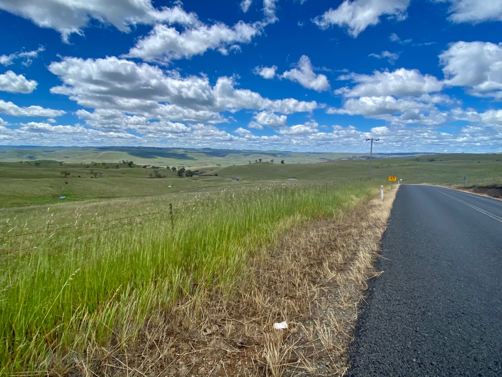
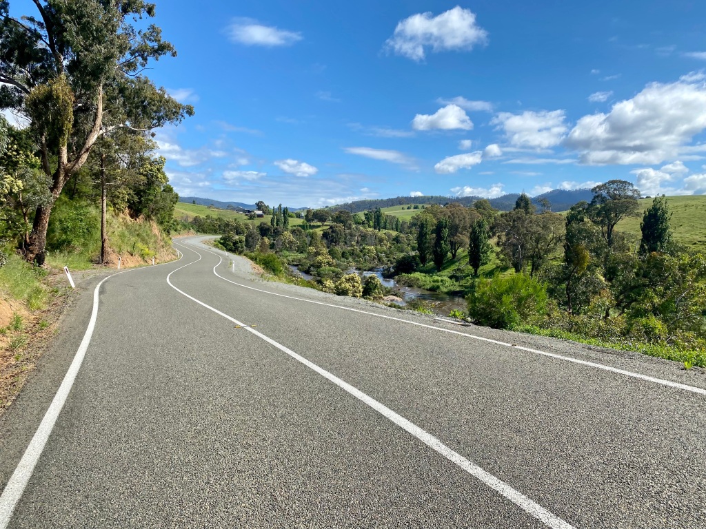
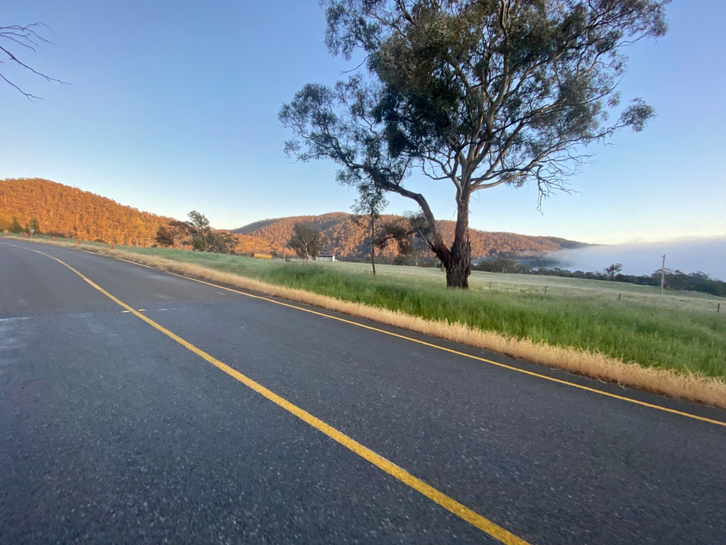
As a result, I decided that the best option (and probably the safest overall) was the Monaro Highway. Whilst I would not say this would ever be a preferred route, I was pleasantly surprised by the quality of the verge in most places.
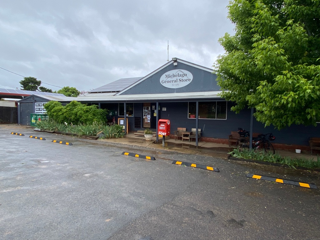
Having said that, I just can’t wait for the Monaro Rail Trail. It would make this trip a complete no-brainer – not only for this day but also for most of what I covered in Day 2. There are already good places to stop along the way (such as coffee and other things at Michelago General Store, and Bredbo Pie Shop) but in addition there is infrastructure that could easily be used for tourism – like the Michelago station.

After Bredbo I was tempted to try backroads – Billilingra Road, Shannons Flat Road and on into Cooma. The relentless rain discouraged adventurism so I pressed on into Cooma.


For comparison, here is the route for Cooma via Bobeyan Road.
Day 2: Cooma to Delegate via Bombala
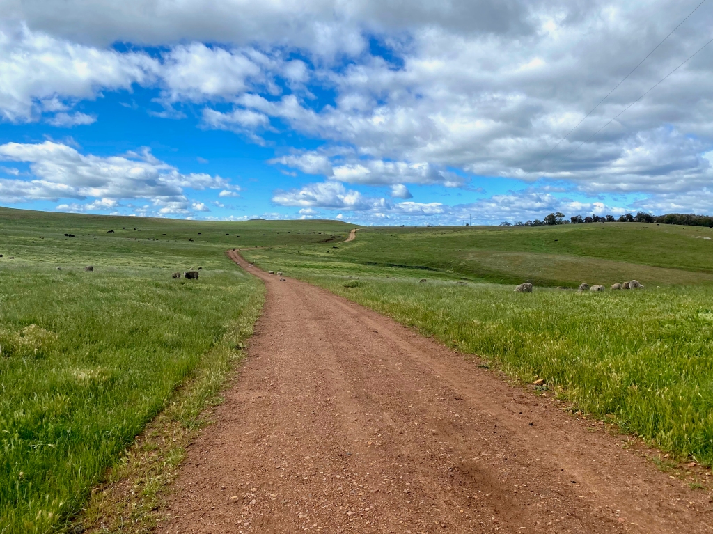
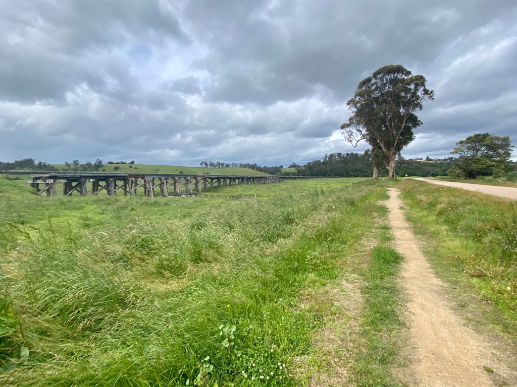
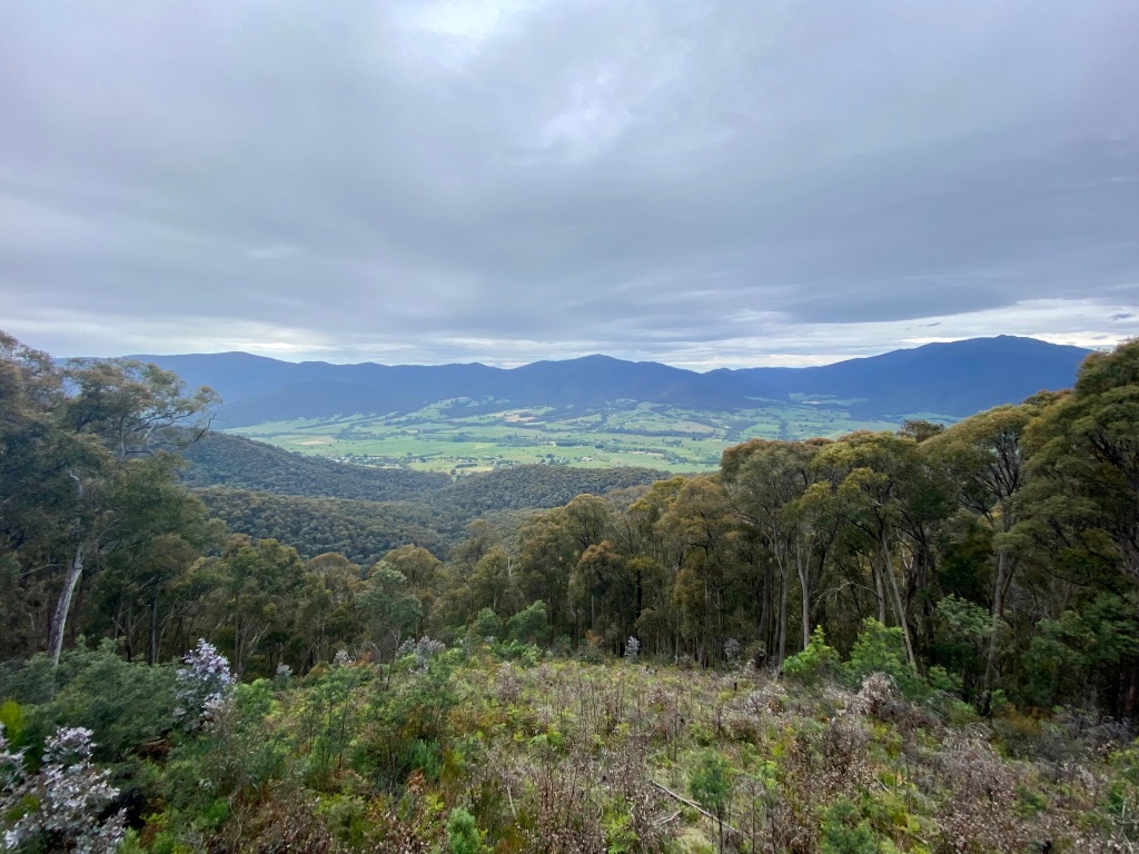
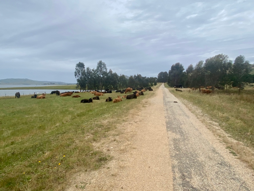
Sometimes cycling leads you to finding a gravel road that is just epic. The gravel being in good condition is important, but what makes it epic is the scenery – particularly if it helps bring to life the region you are travelling through. Let me present to you Myalla Road – a stunning ride.
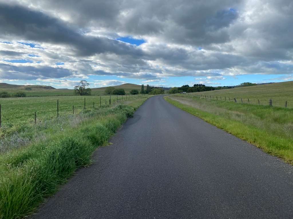

Heading out of town, the road does start sealed but quickly becomes gravel with views of the grazing paddocks that make the Monaro famous. The road at this stage is clearly also a means by which local farms travel to/from town.
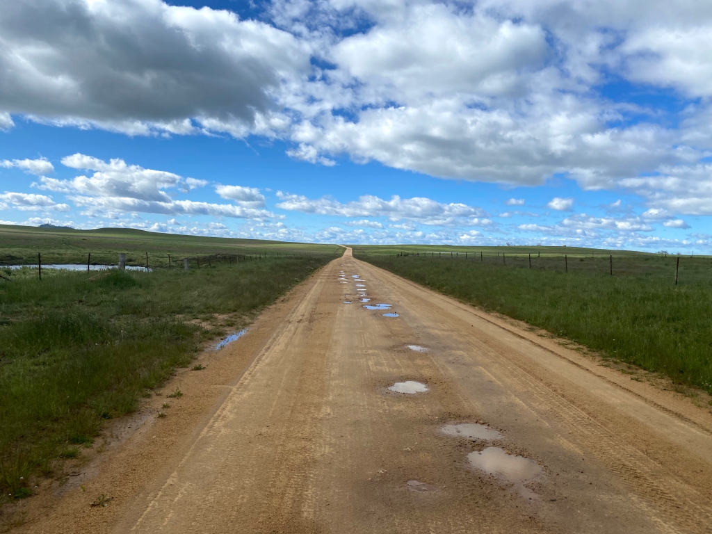
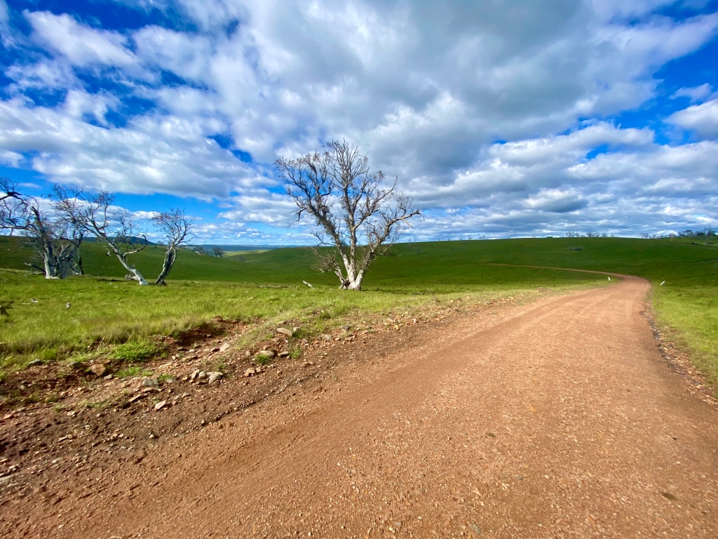
What follows is a decent climb to a kind of a plateau – offering big sky views before a stunning descent into more farmland. Around this point it becomes clear that the road, whilst public, is travelling within paddocks of farming properties. This means the road suffers a little from livestock traffic, there are some cattle grids to cross, and there is the occasional farm ‘resident’ who may not be keen to move out of your way.
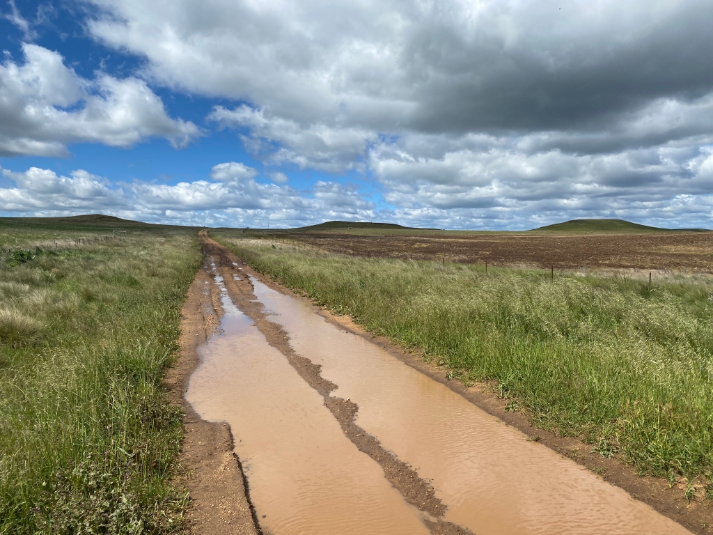
Unfortunately, at the end of Myalla Road the route deteriorates – to a serious extent when it has been wet. Rock Lodge Lane was almost impassable when I rode it, so much so that I would suggest a detour on Bobundara Lane then Springfield Road if travelling after rain unless you happen to be travelling on a mountain bike. Avon Lake Road had its moments, but it was navigable.
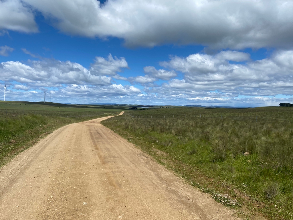
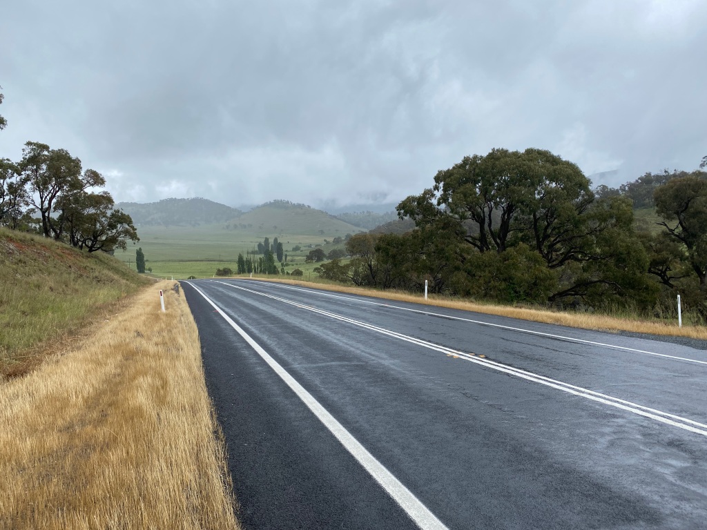
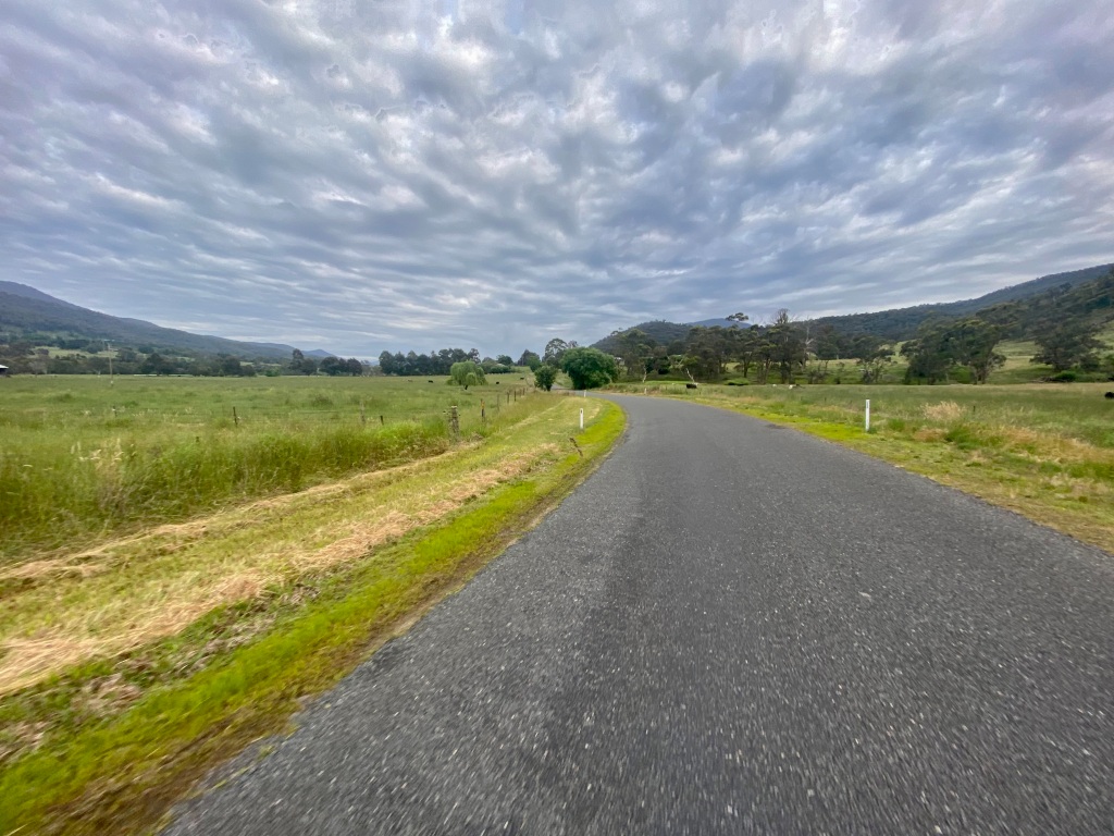
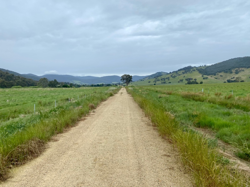
The Snowy River Way returns to sealed road, but also provides for magnificent scenery with limited traffic. This is a lovely ride – beautiful scenes , smooth road and some great descents.

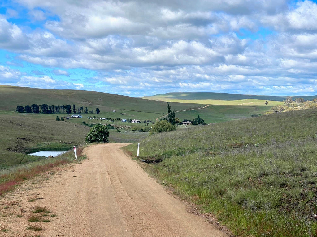
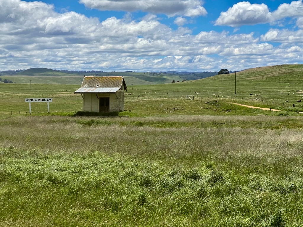
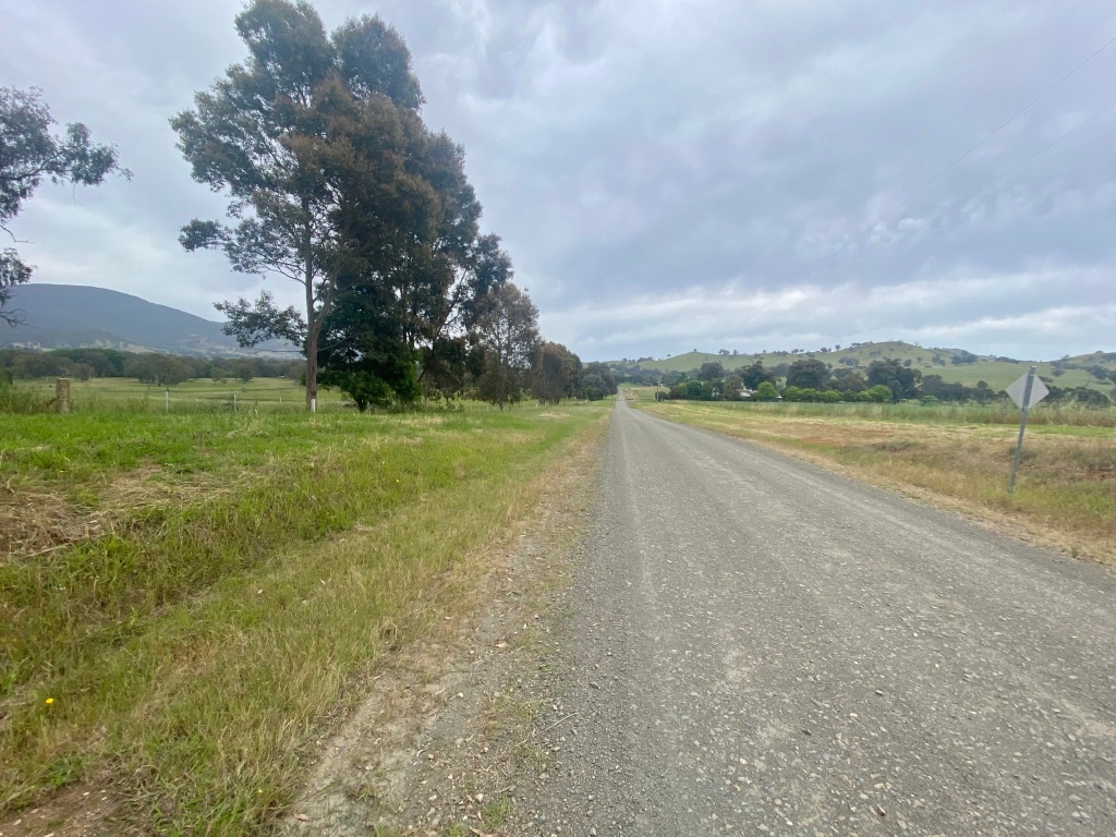
I had planned to use Gunningrah Road to travel to Bombala rather than the Monaro Highway, but after the mud bath of Bobundara Lane and a howling westerly that would slow down the trip to Delegate I decided to stick to the tarmac. The trip wasn’t bad, but after passing the Jincumbilly station before the highway it reminded me what a tremendous development the Monaro Rail Trail will be. I note from recent reports that detailed planning has been funded for Jincumbilly to Bombala. If this was completed you could easily start to promote a tremendous route from Cooma to Bombala – gravel roads and relatively quiet sealed roads followed by the rail trail into town.
After a brief stop in Bombala (the IGA has a cafe-style section if you are looking for a refuel on a day most things are closed), Delegate Road was a hard slog because of the wind. Fortunately the road whilst lacking verge has limited traffic, and continues the views. It was great to arrive in town to finish the day. Note though: the water in town is not potable, which means you need to purchase or filter.


Day 3: Delegate to Marlo via Orbost
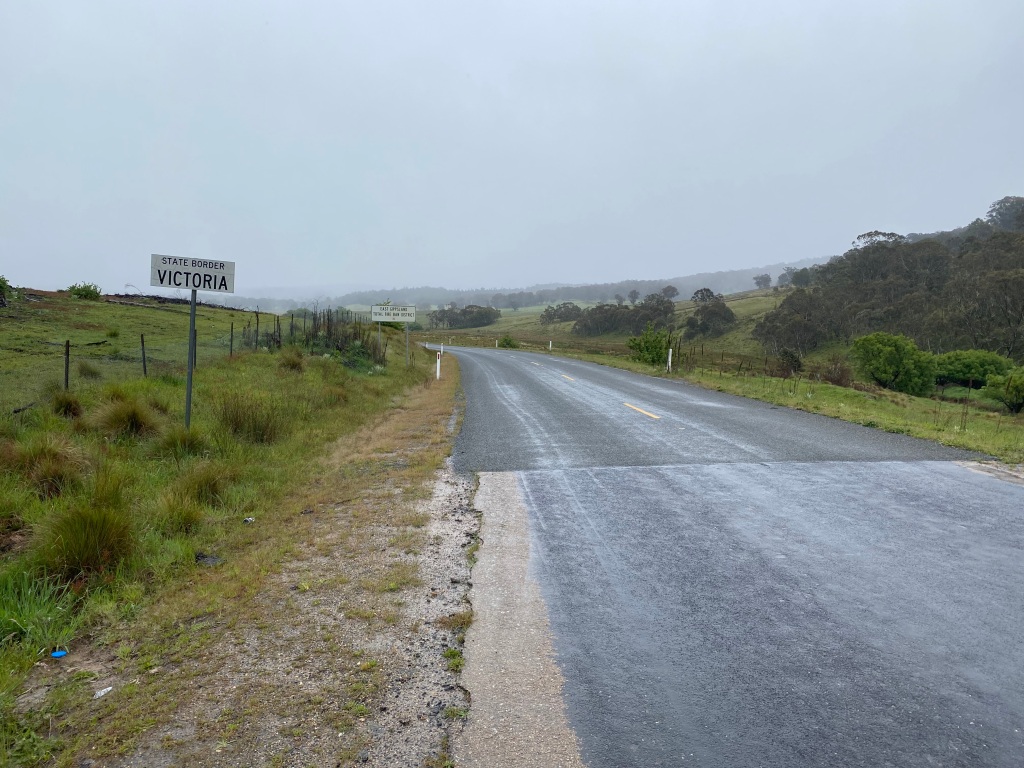
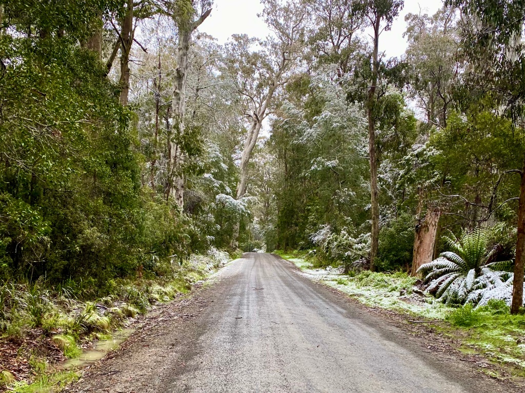
El Nina brought rain and it also brought November snow. Whilst this made for damp and cold cycling, it didn’t stop the opportunity to experience some beautiful scenery. The Bendoc-Orbost Road offers a short-cut from the main road option from Delegate (Delegate Road to Bonang Road) and also has some wonderful gravel – here enhanced by snow.
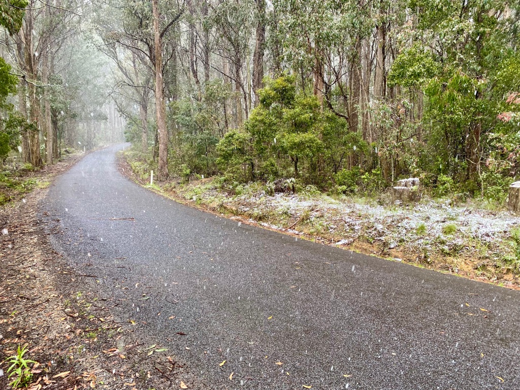
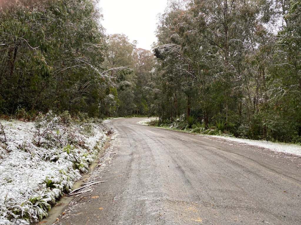
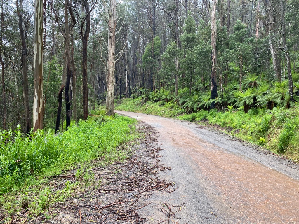
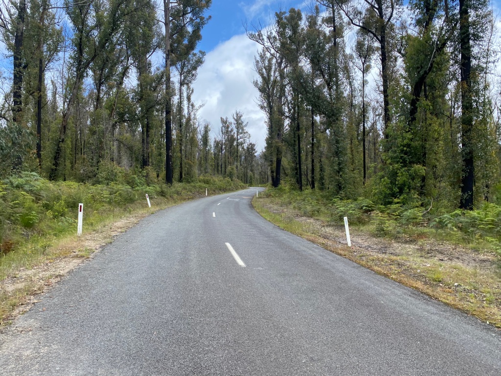
Initially gentle, Orbost-Bendoc Road (and the subsequent connection to Bonang Road) progresses to a not-too-steep but rapid descent that needs to be carefully managed in the wet. I would love to do this in the dry as on this trip it was quite cold and also slippery. Heading into the ride I had an expectation that Bonang Road would be a long gravel ride but this proved not to be the case: sealed and with limited traffic after the descent, the road provides forest scenery with river glimpses as you work your way to Orbost.
Having been snowed on, the day warmed up – on a summer’s day Bonang Road would be very thirsty work and a long way to travel. Unless Bendoc pub is open there is nowhere to stop and refuel over the 120km from Delegate to Orbost, so be prepared. CyclingGravel is a fan of travelling with a water filter to remove stress from days like this (I can recommend the Grayl Geopress which I strap to a fork) and there a number of places where you can stop and obtain water to filter from fresh streams.

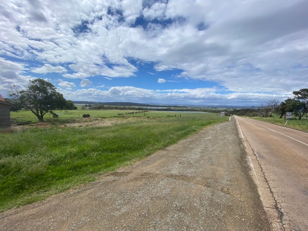
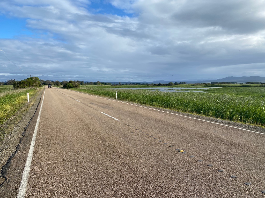
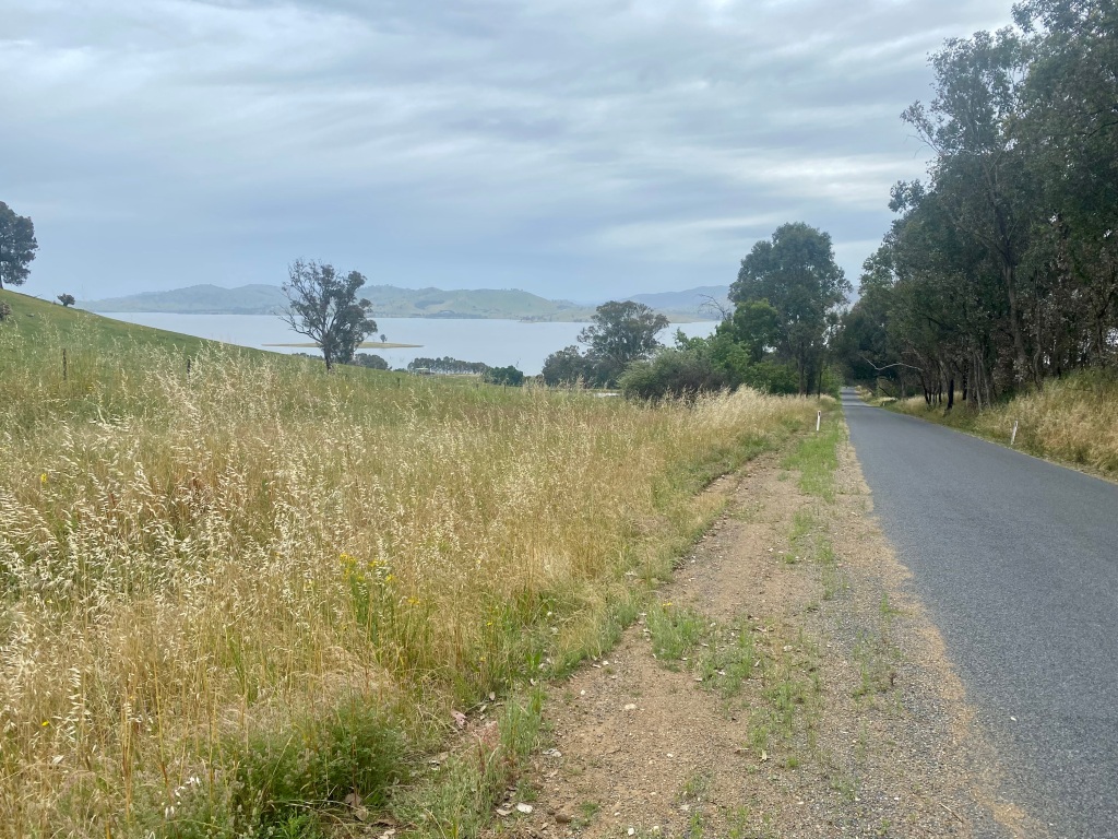
Having previously stayed in Orbost, I decided that Marlo would be a more interesting overnight stop despite the plan to tackle the rail trail the next day. Marlo Road offers great dairy, lake and river views as you head towards the mouth of the Snowy River.

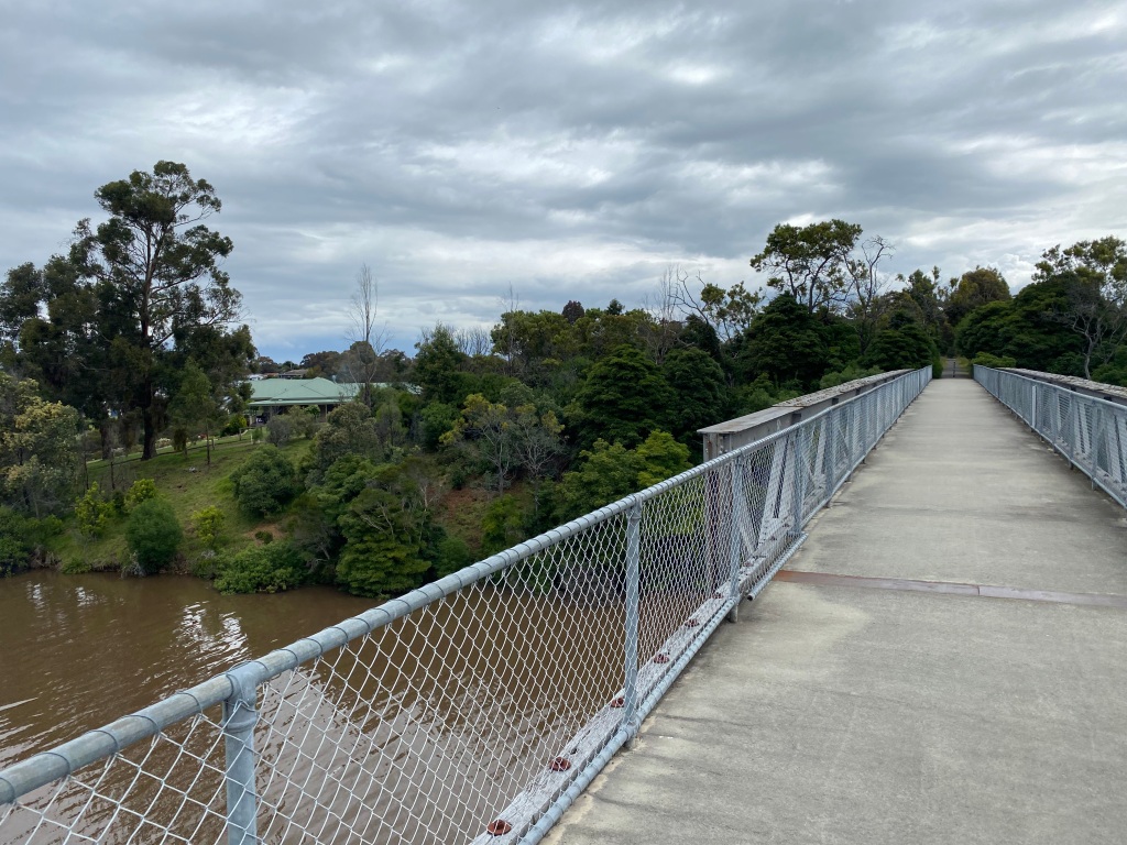
Day 4: Orbost to Bruthen (plus Bairnsdale detour)

I had planned that Day 4 would be a shorter day – solely on the East Gippsland Rail Trail and ending in Bruthen. This did not transpire as I had a sufficiently serious mechanical (front derailleur breakage) that required a diversion to Bairnsdale as I didn’t fancy long-term small chainring cycling. Thankfully, this led to the discovery of some great backroads.

After restocking with some supplies in Orbost, I followed the Rail Trail signs out of town. Without doubt the worst quality part of the trail is the single track as you head out of Orbost until the track starts properly from Burn Road. Stick to the tarmac if things are dodgy (eg muddy).
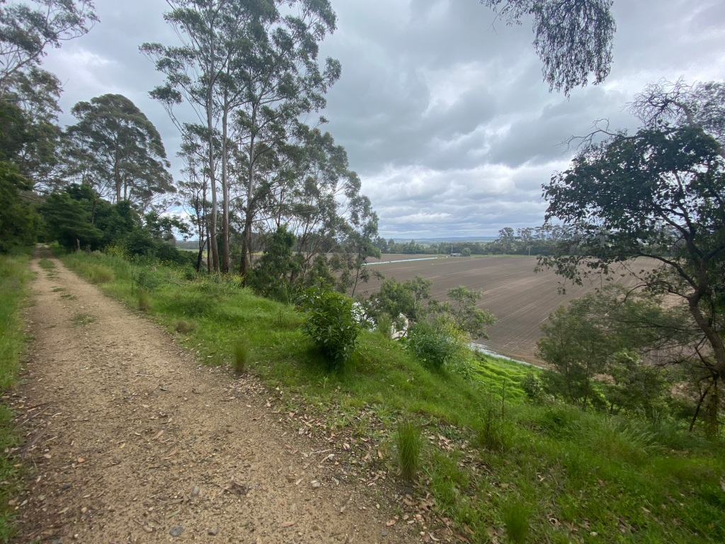

Heading up from the river valley the surface improves a lot – at worst resembling a good quality fire trail. Depending on recent weather you can expect the occasional fallen tree and sometimes washout ruts. Overall though the trail’s surface is pretty good and even sometimes has overlay that is a step above – a small bit near Orbost and very high quality on approach to Bairnsdale. The worst part of the trail that I experienced was to the west of Bruthen – narrower than the photos below, rougher and muddy in parts. Having said that, it is there that some interesting farmland views are on offer. The Orbost to Tostaree stretch is, by contrast, probably the least exciting part of the trail for scenery: here are long stretches of forest views with farm vistas occasionally on offer.

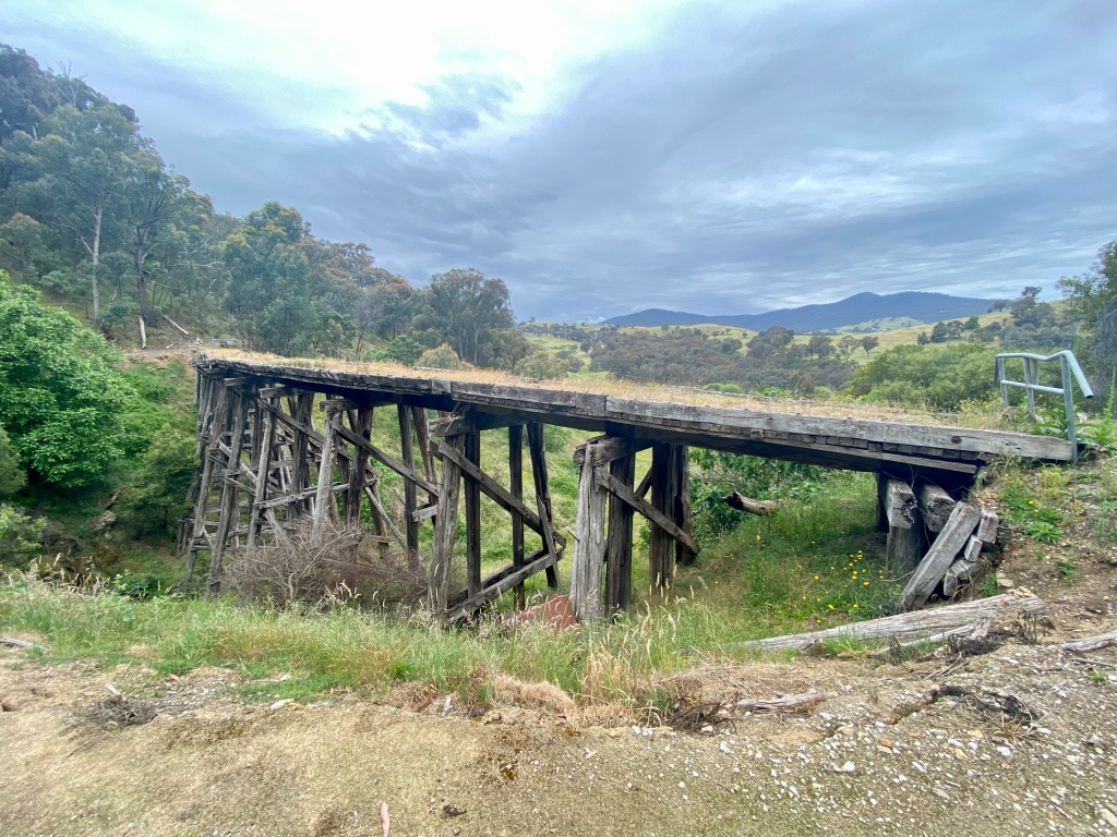
After Tostaree was when my mechanical occurred leading to some replanning. At first I continued on the rail trail past some of the best views, including the Stony Creek Trestle Bridge.


From here, I diverted down some backroads to cut the distance and stumbled upon the amazing Wards Road. If you are into gravel cycling, this is a road worth seeking out for the views and rapid trip (3.5km, 90m descent). The other backroads were sealed and whilst they had more traffic were totally ok to cycle.

If you are riding the full distance of the rail trail from east to west, the good news is that the final part of the trail is where the surface quality is best. On offer is hard-pack laid surface and bitumen.

Day 5: Bruthen to Omeo
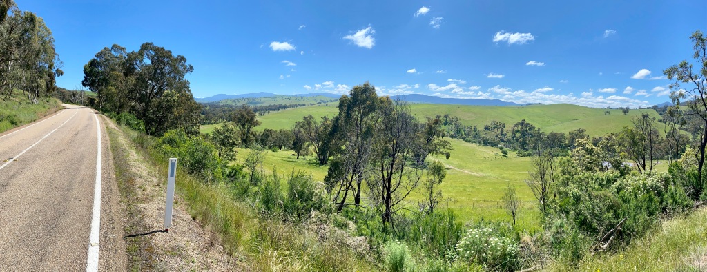
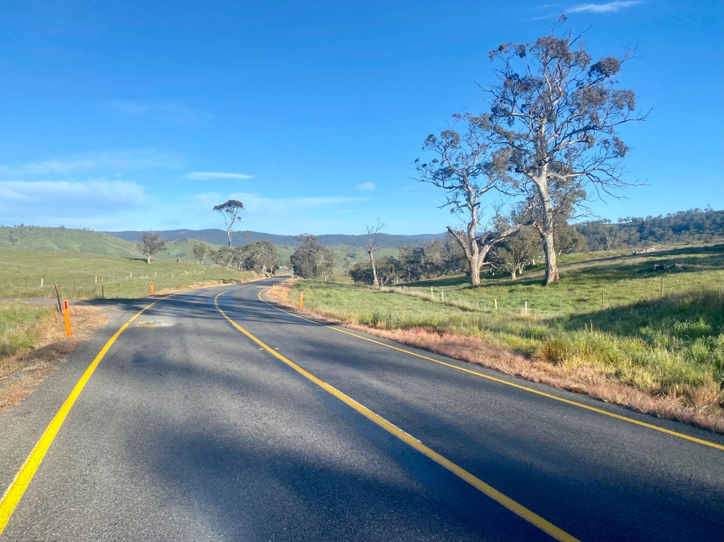
The Great Alpine Road to Omeo is a lovely trip. Your experience will depend a lot on the level of traffic that happens to be on the road but I really enjoyed this day’s cycle – at least until Swifts Creek.

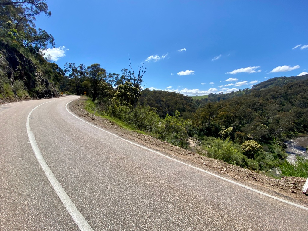
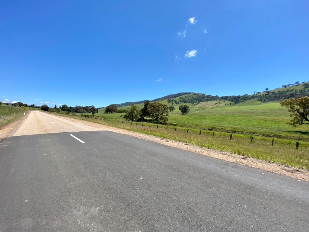
Predominantly following the Tambo River (which runs through Bruthen), the Great Alpine Road offers forest, river, farmland and mountain views. Whilst not exactly flat, the route’s overall following of the river makes for a gradual overall climb to the village of Swifts Creek. The photos show that there is no real verge to speak of throughout the trip, but I never felt unsafe or exposed as a cyclist.

And being a cyclist on this road was just fantastic. There are great places to stop for the view, things that at bicycle speed you can absorb and admire. After Swifts Creek (the bakery is great – see recommendations section), there is some climbing: after the Bindi Road intersection it is a 7.5km climb averaging 4.5% gradient. On a warm day I also experienced sticky tarmac that fouled my tires – leading to an annoying end of day clean. Thankfully, the very scenic Omeo is a lovely place to stay.

Day 6: Omeo to Mount Beauty (via Bright)
Originally the plan had been to travel from Omeo to Mount Beauty via Falls Creek. Someday I would like to do that route. Consistent with the weather throughout this trip, however, it conspired to affect plans as it led to closure of the Bogong High Plains Road to Falls Creek – meaning that a longer trip would be required via Hotham.

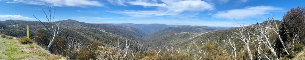
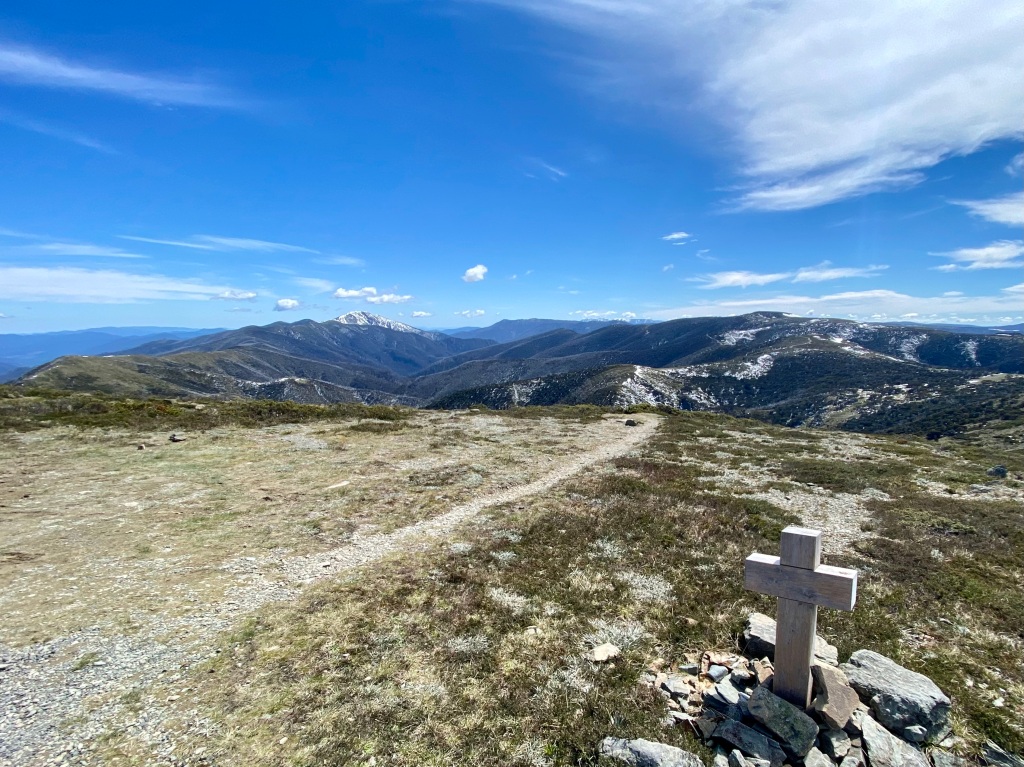
The climb to Hotham from Omeo is steady but not awfully steep – I think that the climb from Bright to Hotham is much harder work in parts. The steepest part from Omeo is an early 7km stretch averaging 6.5% gradient to the Kosciuszko lookout, but once you’ve made it here the gradients are still taxing but never as difficult. Helpfully, the whole route has signs every 5km showing the upcoming gradient.

From the lookout there is a mix of hills and farmland before the full-on alpine climb. Alpine scenery is really beautiful in summer, and on this climb you can also see some of the flats that were previously used for highland grazing.
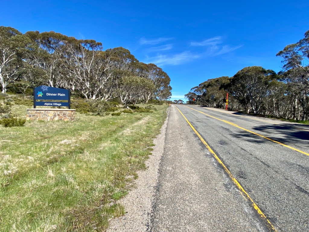

Dinner Plain is a recommended place to stop – out of ski season there seemed to be limited options at Hotham itself (ie one, a couple of kilometres from the summit), whereas at Dinner Plain there are good bathrooms, water refill taps and a cafe. The views as you depart and continue to Hotham are also excellent.

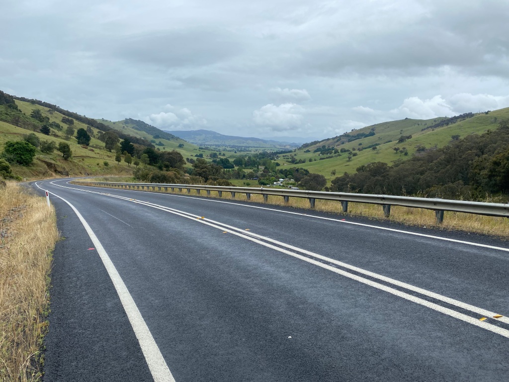
After a stop to take in the summit views, the 29km descent from Hotham to Harrietville has a couple of short, sharp and very steep climbs, but otherwise is a fun 1,400m descent down to town. The only caveat to this is wind: if the day is windy the descent can have some challenge to it at higher elevations as the road is quite exposed – much more so that on the ascent from Omeo. Passing almost as many cyclists as cars, it is clear that this route is well known for cycling with even the road work traffic lights signposted as timed to allow for bicycle traffic. Top marks.


After an unplanned stop for caffeine at a Harrietville roadside coffee caravan (on the left at the caravan park when I passed through), the final 23km to Bright was a long shallow descent on good quality and mostly straight road. I understand that there is now a shared path for this route that might be worth checking out as there is no doubt that the traffic picks up again after Harrietville.
The diversion to Bright was not without its benefits – there are a lot of choices of places to stop and refuel. In addition, Tawonga Gap road is quite scenic – although the climb was a little tough at the end of the day. Thankfully the views are stunning, and the descent into Mount Beauty is a great reward for a long day.

Day 7: Mount Beauty to Corryong
This day had three main stages: Mount Beauty to the High Country Rail Trail, the rail trail, then the final highway stretch to Corryong.

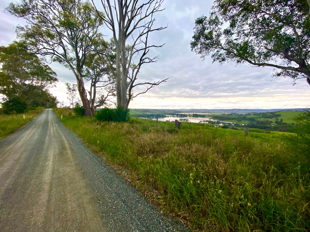
For the first stage it is possible to ride down the Kiewa Valley Highway to the rail trail, but there is an alternative backroad on the eastern river bank that makes for much more pleasant cycling – virtually no traffic yet great views. Following the river as it runs down to Lake Hume, the route is also quite fast. Tangambalanga offers a public toilet break and coffee at the general store after a short gravel road, from which a pop over the hill delivers you to the lakeside Rail Trail.
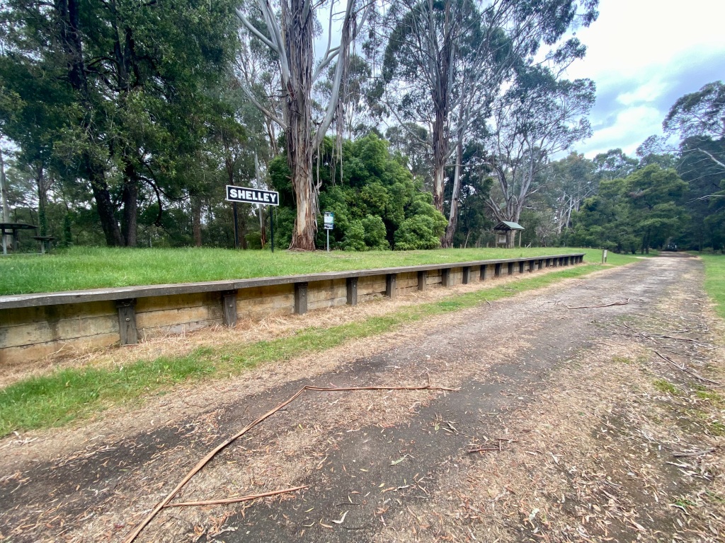
The High Country Rail Trail proved to be a real surprise part of the trip, and effectively comprised two trails: the well travelled lakeside route west of Tallangatta, and the less travelled climb to Shelley station. West of Tallangatta, I passed many cyclists of different ages and fitness levels out for a ride – enjoying the lake views and the trail’s flat gradient.


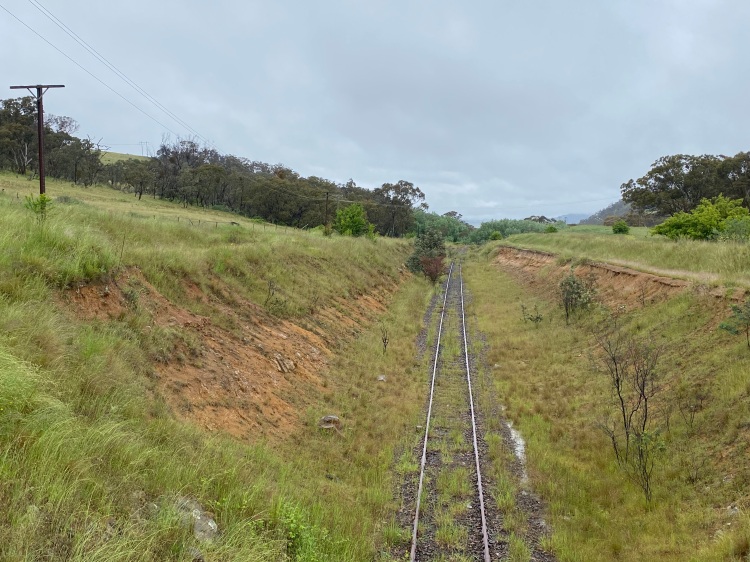
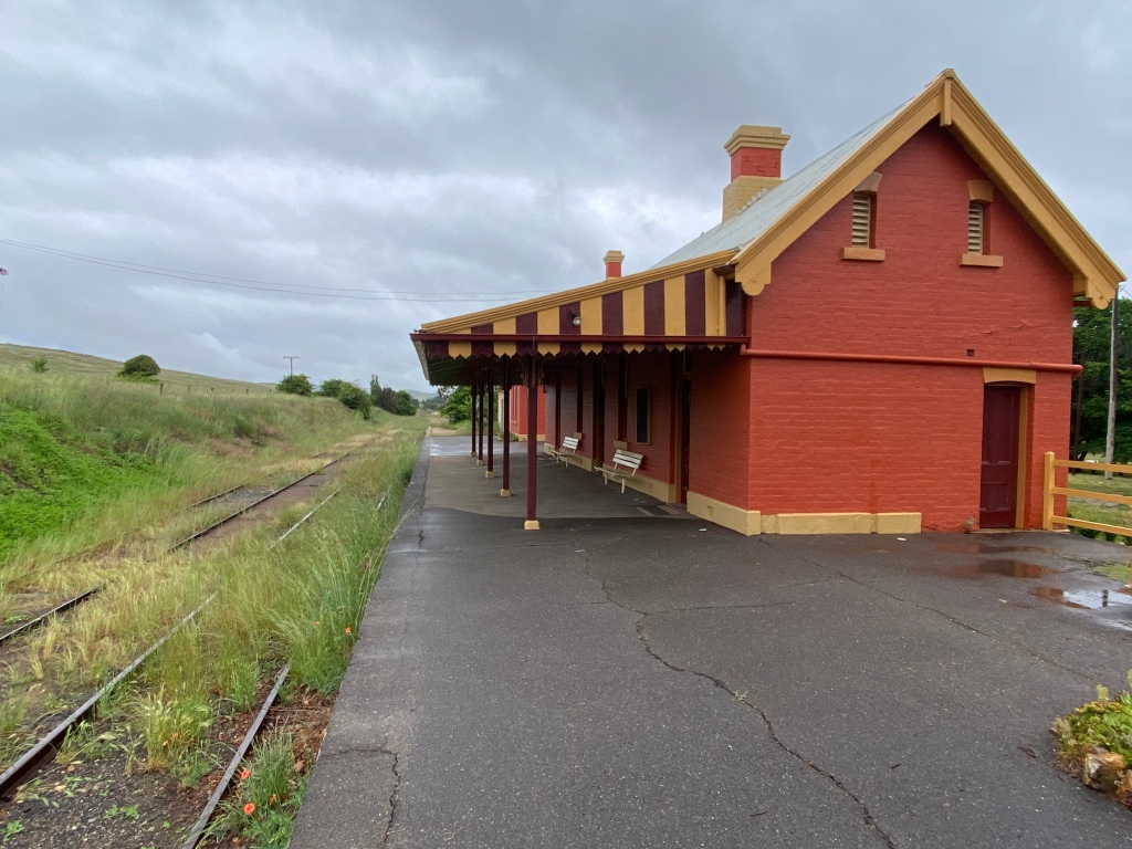
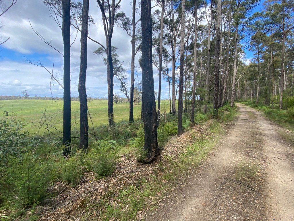
After a stop in Tallangatta (recommended), the rail trail takes quite a different nature as it climbs almost 600m over 28km. Helpfully signposted with the distance to travel to Shelley station every kilometre or two, the route also includes interesting information boards about the history of the rail line. The trail does become more like a fire trail and suffers a little as it travels through a lot of farm paddocks. At times this means the need to stop and open/close farm gates, but in many instances gates are accompanied by helpful bicycle-width cattle grids. Very thoughtful. Overall the trail quality is good, but there were a few stretches that suffered from heavy livestock traffic – meaning that if the trail was muddy they would be very hard to cycle on anything less than a mountain bike.

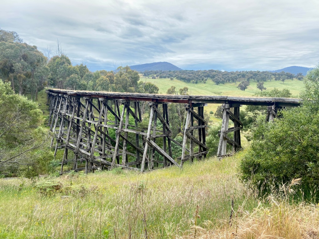
One of the great aspects of some Victorian rail trails is the trestle bridges – there is something about the wooden engineering that makes them quite endearing. Part of their charm is that they often coincide with a valley, leading to views. What is sometimes less fun is the way in which a rail trail copes with the diversion. Occasionally high quality trail or even replacement bridges are put in place. More commonly (and in most cases on this trail) there are lower quality detour tracks. Not a major issue, but in poorer weather may require a short hike-a-bike.
Throughout the afternoon when travelling to Shelley Station I passed a number of groups making a day trip of the rail trail. Based upon the comments made it seems that for most this was quite a long day, and often being ridden by ebike. On the plus side: once you get to the top, it is an all downhill return to Tallangatta.

Stage 3 of the day after the rail trail is the (mostly) descent via the Murray Valley Highway to Corryong. I remain of the view that “highways” are not a priority route for cycling, but in this case there were not many options. Thankfully the regular traffic was pretty considerate, helped in part by the good visibility on the road. In my experience this helps a lot – tight and twisty roads with limited verge seem to lead to riskier driver behaviour when passing cyclists. Not here: I would happily cycle this route again.

Day 8: Corryong to Tumut

Travelling from Corryong to Tumut in one day is very much a story of three solid climbs, followed by 48km of almost 1,100m of descent. If you can make it the top, you can absolutely get to Tumut. But the climbs do not make for an easy day.


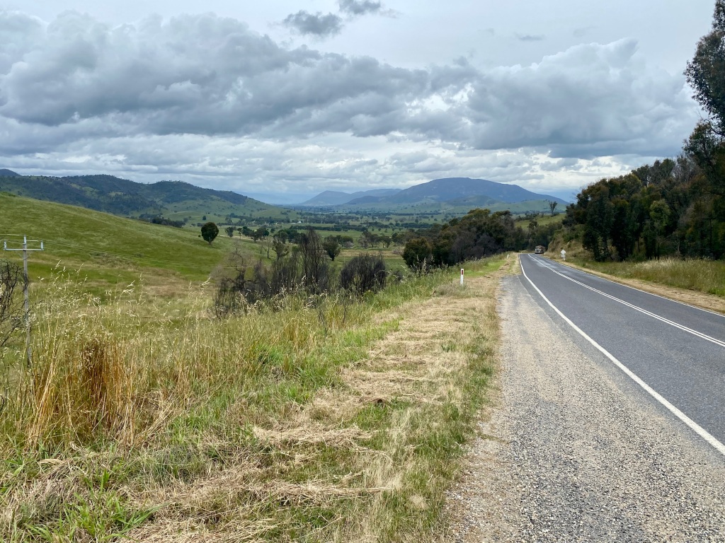
Heading out of Corryong, the route starts relatively flat – at least compared to what follows. This continues after crossing the Murray River as you pass through idyllic farmland and beautiful hillsides. Through to Tumbarumba, I also experienced very light traffic – potentially influenced by travelling on a damp Saturday.


After Tooma the three significant climbs are straight out of Tooma, Clarkes Hill shortly thereafter, and between Tumbarumba and Batlow. These are all hard work and mean that a good refuel is important in Tumbarumba. But, as previously mentioned, the work is mostly done once you get to the top. I enjoyed a gravel diversion via Back Kunama Road (worth it whether or not you are visiting to Crafty Cider), and the great long descents to Tumut.


Day 9: Tumut to Canberra
See my previous articles for the choices for this leg. Via Brindabella or Wee Jasper!
Tips, recommendations and things I’d change
Cafes, pubs and other things
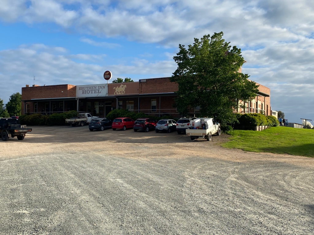
- My absolute favourite hotel (partly because of the most amazing value) was the Bruthen Inn Hotel. $45/night for a single including breakfast, recently renovated shared bathrooms, and great pub meals. Highly recommended – say hi to Stretch and Storm.
- For a slightly more upmarket but also highly recommended stay, with the benefits of an incredibly scenic seaside location, try the Marlo Hotel. The meals are great, the views lovely, and kudos to the staff for allowing bike storage in the hotel corridor.

- Brews & Breweries. It is fair to say that a significant influence on planning trips like this is a great pub or brewery. This trip had its fair share of that, and I can recommend a few:
- At Marlo Hotel and Bruthen Inn Hotel, Sailors Grave Sou’ East Draught was on tap – a decent local Orbost Brew but I much preferred their Drowned Man IPA. Unfortunately Bullant Brewery was not open the day I was in Bruthen, but I have visited before (and since!) – it is worth checking out if you are there during opening hours.
- Bright Brewery is prominent and well known. There are beers to suit most preferences, a large amount of outdoor seating, and the food is really good.
- Crank Handle Brewery in Mount Beauty was a delightful surprise. Now run by siblings and their partners, this great little brewery is incredibly friendly and worth a visit. Kudos in particular for the Bogong Bitter – a style of beer that is not common in Australia but was excellent.
- Near Batlow I took the guidance of some roadside signs and dropped in at Crafty Cider. Tony, the very welcoming host, informed me I was the first person to visit (in his three years of being open!) on a bicycle. Nevertheless he generously provided an extensive tasting of his ciders – some of which I later ordered online. Classy.
- I’ve previously extolled the merits of the Tumut River Brewing Company. Enough said.


- I did stop at a number of general stores and cafes for coffee. There were none I’d recommend against, but there were two of particular note I would seek out again:
Things I’d think about doing differently
- I would definitely have preferred to take the Boboyan Road route to Cooma. Alternatively I’d at least ride to Michelago via Googong and then Burra Road – something I’ve now done and can recommend (see Michelago gravel).
- If there was an alternative accomodation option in Delegate, I’d try it. Delegate Hotel is ok, but could be so much nicer and needed some TLC. Having said that, the host was very welcoming and the Delegate Winter Ale on tap was quite nice – commissioned by the hotel and brewed in Queanbeyan apparently.
- If I was ever to return to East Gippsland to cycle, I would think a little differently about the East Gippsland Rail Trail. It needs some maintenance in parts and there are some great gravel roads around that I discovered by accident. Worth thinking about it you are in the area for a few days, although I also see that there is funding being put into fixes and upgrades.
- I have now completed the Tumbarumba to Rosewood Rail Trail, and ideally would have incorporated this into the route. If a day or two allowed, inserting this into the trip would have been my preference. See my Tumbarumba Rail Trail page for more ideas on this.
Other recommendations and tips
The golden rule of bike touring, namely flexibility, was reinforced to me by a couple of mechanicals and the weather. It really does pay to have plenty of time up your sleeve for the unwelcome but also the welcome – such as a lazy coffee or a detour to explore something that you find.
- A big thank you to Gary at Giant Bairnsdale and the team at All Terrain Cycles Bright for the mechanical fixes that needed parts I did not have, particularly for fitting me in at short notice. Legends.
- My favourite mid-ride lunch refuel is a quality meat pie. I had some great pies on this trip. Particularly recommended are The Bredbo Pie Shop (chicken Thai green curry), Swifts Creek bakery (divine steak, chilli and cheese), and Tallangatta bakery (another thai curry – quite different to Bredbo).
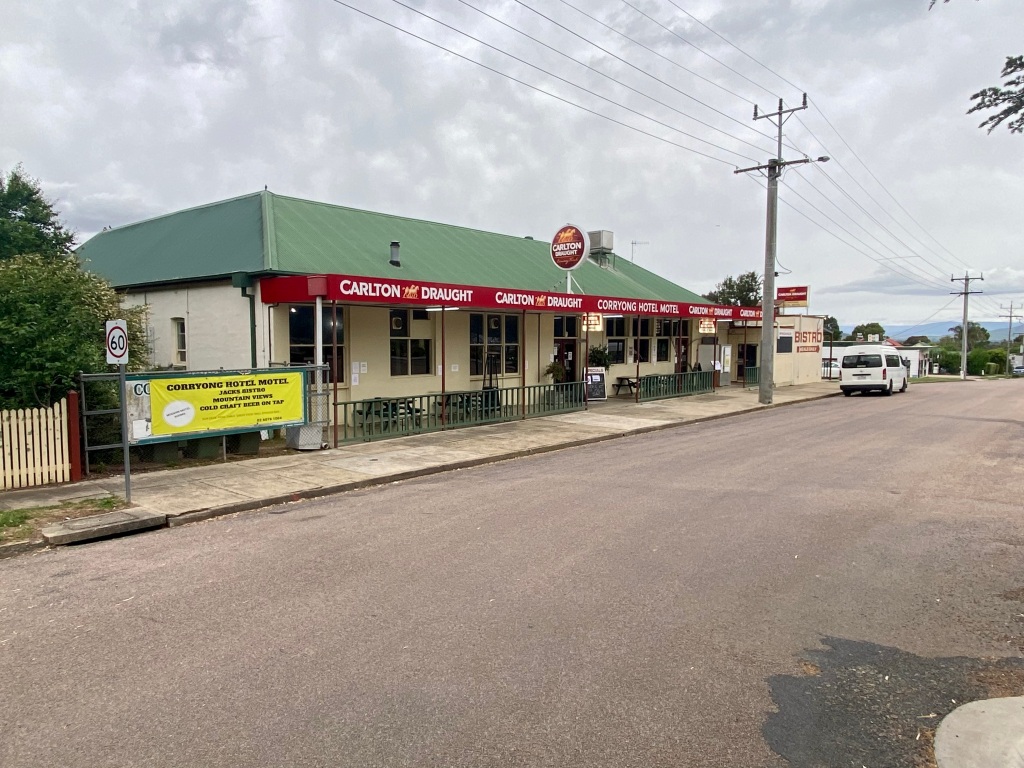
- For a meal with a view, I recommend the Hilltop Hotel in Omeo. Not only is there a great view from the outside seating, but the meal options include not only what you’d expect (steak, parmi etc), but some you might not: I particularly enjoyed the okonomiyaki-style Japanese pancakes. Another hotel with a view was the Corryong Hotel Motel. Inexpensive motel rooms, expansive views of Mount Mitta Mitta from the back balcony, Bright Brewery beer on tap and five different parmigianas to choose from. What’s not to like?


Leave a comment