
There are some fun ways to cycle gravel around South Canberra, Woden and Weston Creek. But what about North Canberra? Whilst requiring a sojourn through Turner, Braddon and Ainslie, I reckon one of the fun Canberra gravel rides is between the Arboretum and Russell, via Aranda Bushland, Black Mountain, Mount Ainslie and Mount Pleasant Nature Reserves. And hey, what is not to like a gravel ride with a great café/coffee/drink stop right in the middle?
Black Mountain

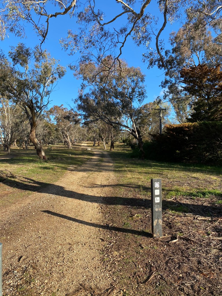
This part of the route is straight-forward to navigate: follow the Centenary Trail signs. In fact, this route follows the signs through to the back of the CSIRO – and there are plenty of them to help you to keep going in the right direction.

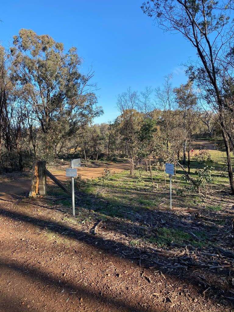
If you have the time for a detour, Black Mountain Nature Reserve has quite a few gravel tracks: Swampy, Callitris, Powerline, Woodland and Orchid Trails are all rideable. If you are thinking of this, I can highly recommend the Friends of Black Mountain map to get yourself oriented and plan out where you’d like to go. There are also a few locations within the park with map signboards.
One of the disappointing aspects of Black Mountain Nature Reserve is that it is not really possible to circumnavigate the mountain inside the reserve by bike. Unfortunately, unlike Old Weetangera Road (shown above), the southern end of the park only has an extremely steep “Lakeview trail” – fine for walking or a fairly tough MTB descent, but not really gravel bike territory. It is also only possible to ride to the summit on the road – one of Canberra’s ‘five peaks’.
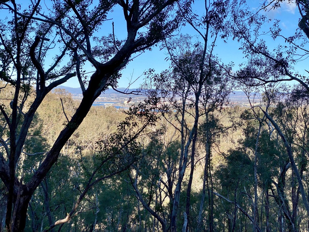
One choice that you have on the Centenary Trail is whether to follow the Little Black Mountain Trail or not. Offering views of the city (which are very nice at night), it is worth taking this trail as included in the Komoot, rather than the short cut. Both are signposted as part of the Centenary Trail, which can be a little confusing.
The boring bit – crossing to Mount Ainslie
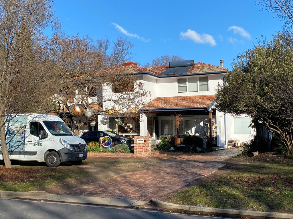
OK, so not entirely boring, but this bit is not gravel. This route takes you through some of the older streets of the city, delivering an experience of the layout of some of Walter Burley Griffin’s original street designs. The suburbs also have some of the original (or close to original) houses of the city, as well as some new (and expensive) rebuilds. Don’t forget to sticky-beak at Lego House, which is on Masson Street.
If you are up for a break when you get to Braddon, take a trip down Lonsdale Street for a coffee or something stronger. Ask a Canberran and it is likely they’ll have an opinion on choices here, but some of my favourites are Lonsdale Street Café and Bentspoke (on Eloura Street).
Mount Ainslie and Campbell
Re-joining a different part of the Centenary trail at the top of Chisolm Street in Ainslie, the route passes around the bottom of Mount Ainslie and, for a while, then follows the high-voltage power lines. This trail is currently quite washed out in some places – look out for some of the deeper ruts. An alternative to taking this route, starting back at Chisholm Street, is to take the Ainslie Houses track – this is smoother and flatter and flows through to Hancocks Road at the top of Phillip Avenue in Hackett.
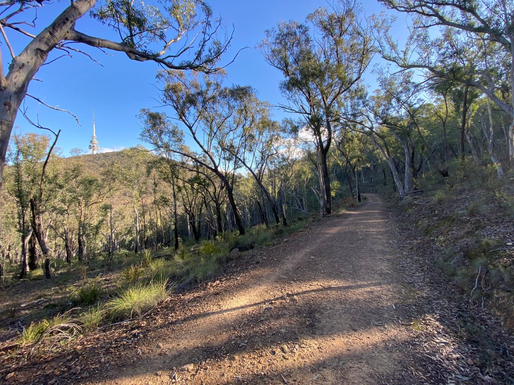
At Hancocks Road, this is where you need to stop following the Centenary Trail route and head up the hill. This is where a fun smooth gravel route really gets going – heading up over the saddle between Mounts Ainslie and Majura, and over down the Telecom Trail. I really enjoy the flow and speed that this part of the route allows, as well as offering another place in our epic city where you can seem miles away – but really you are just next door.
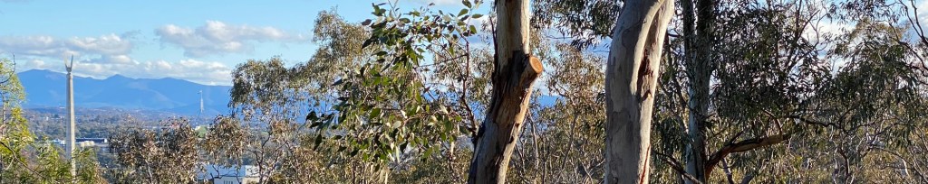
Telecom Trail continues the flow through to the back of Campbell offices. Here, my preferred route is to follow up the side of the Pistol Club, briefly joining Mount Ainslie Road before heading into Campbell on Truscott Street. Here it is quick to get back to the gravel, heading over the hill. The Mount Pleasant Nature Park trail (called Monash Drive Track) gets steep heading down to Russell, but also offer great views towards Parliament House, Red Hill and the Brindabellas – as seen in the photo at the top of this post. At the end of the ride at Constitution Avenue you can head down to the lake, or follow the Avenue towards the city.
Update: June 2025
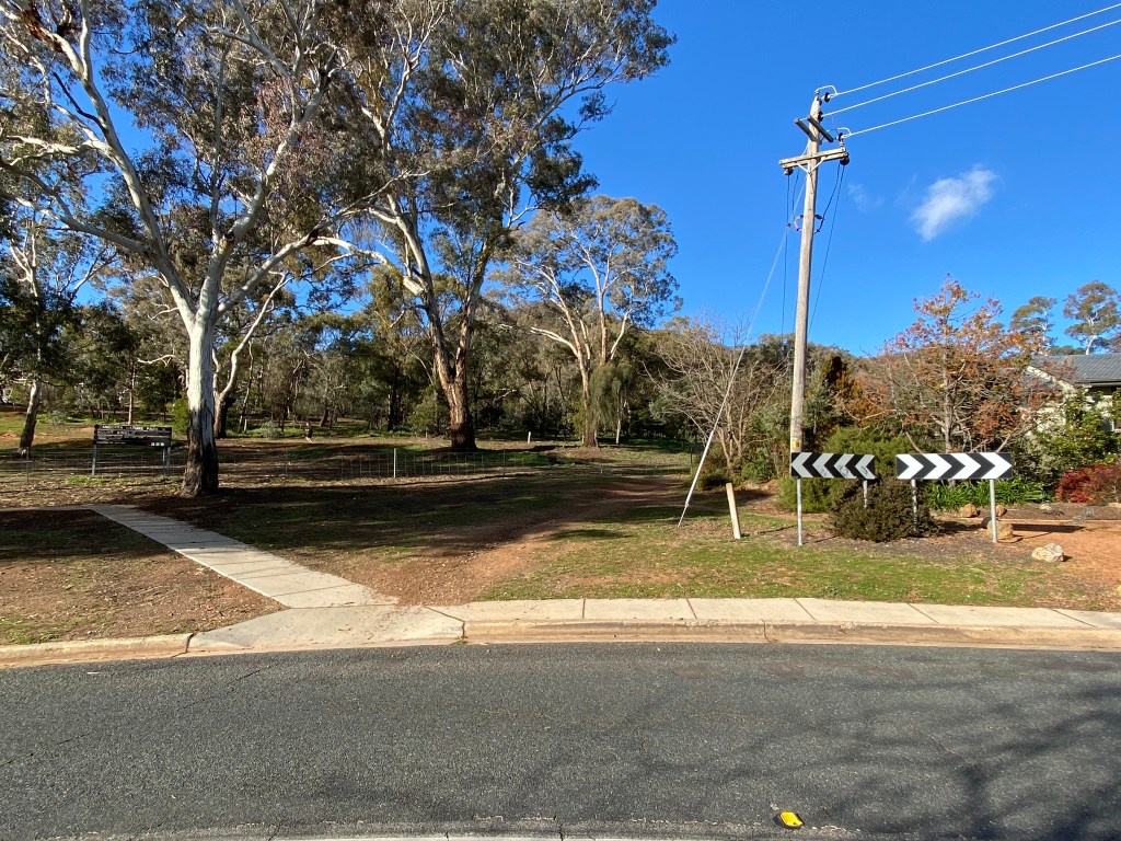
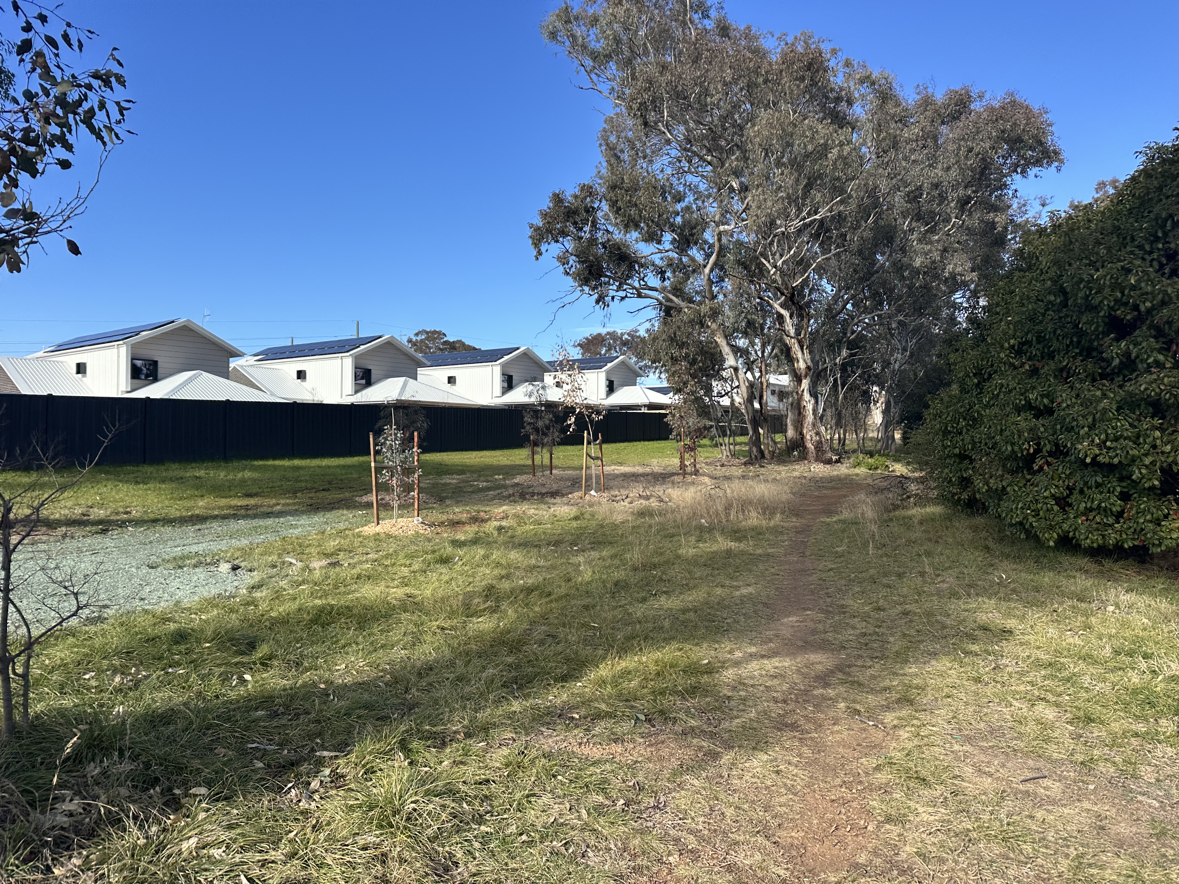
There is a new housing development at the start of entry to Mount Pleasant Nature Park (on left entering Truscott Street). Don’t be put-off – there is a single track that connects no problem – see below.

Details of this ride
Travel guidance
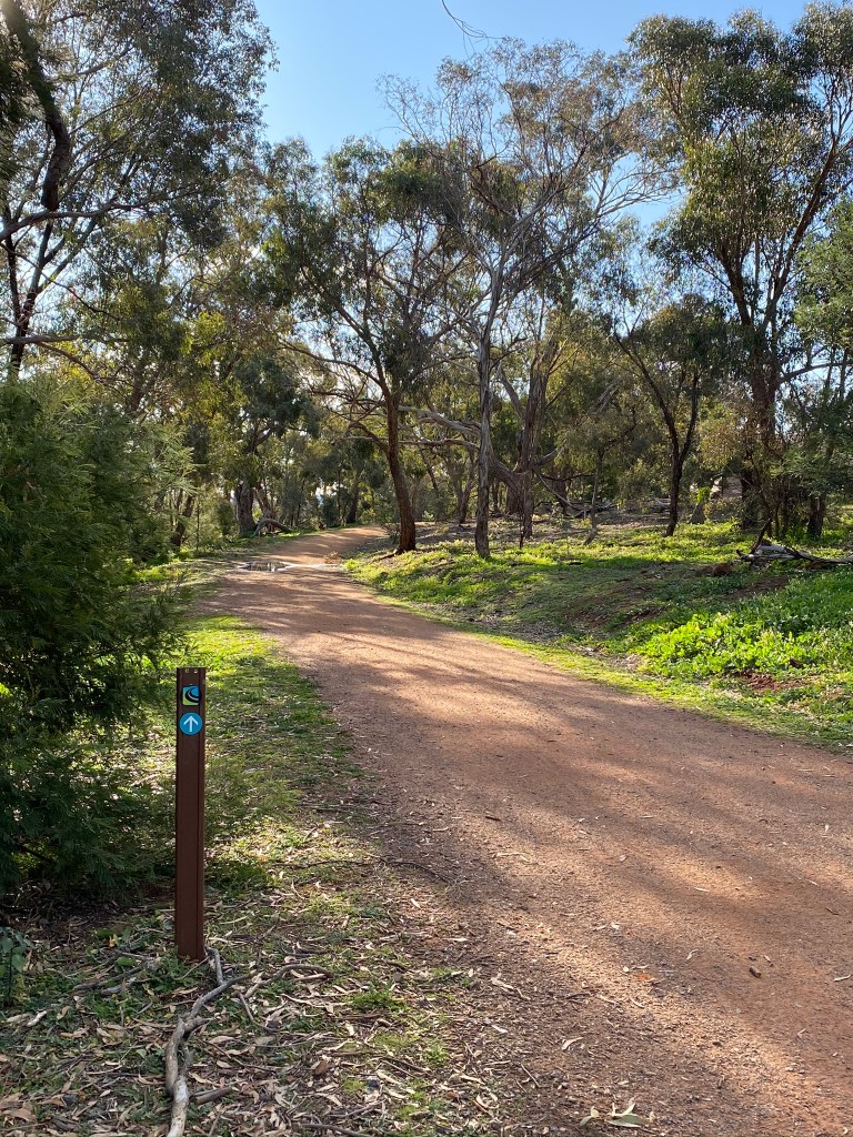
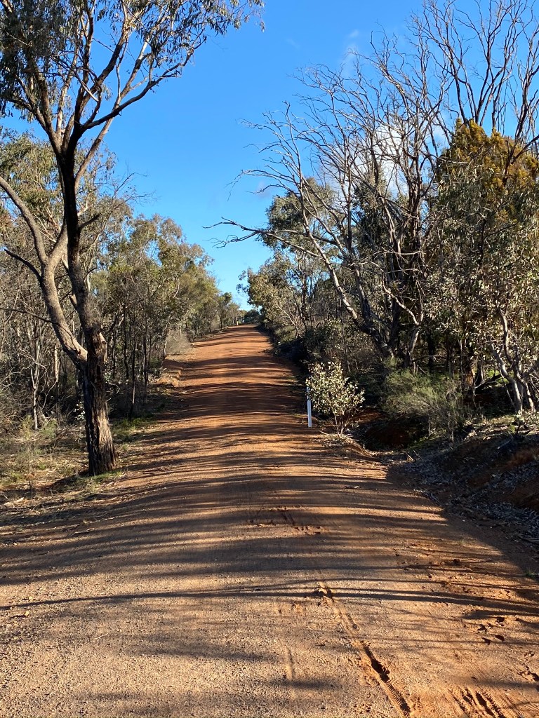
This ride is definitely gravel bike territory. I used to advise care on the descent from Little Black Mountain towards the CSIRO. This has recently (as at June 2026) had a major resurface / grade, and is in much better condition.


