
Googong Dam has a range of walks and rides on the western foreshore. For these there are detailed maps and guides available, but this information leaves the impression that a return trip is the best you can plan on. Digging a little more, it is possible to find a Dam Circuit route map and some detail from Queanbeyan Council. But what is it like? I set out with a mate on a rather foggy morning to find out, and discovered a tough but incredibly fun gravel circuit right on Canberra’s doorstep.
Googong
Before starting this ride, it is worth having a think about how you are going to start. There are three main options:
- Road ride to Googong. We did this from Queanbeyan via Old Cooma Road. Until recently I would not have recommended this route, and not because of the climb up from Karabar. Previously parts of the road were single-lane with no verge making cycling unpleasant at best, unsafe at worst. Now, however, the road is a dual-lane road with a parallel bike path. Good quality stuff.
- Drive to Googong, then ride. There are two main choices for parking at Googong – at the ranger station or down at one of the foreshores car parks. Almost all of these have toilets, although we only visited the ranger station (the toilets were clean, and there was a fresh water tap). Parking at the foreshores means your ride doesn’t end with a decent climb up the tarmac road.
- Ride back tracks to Googong. I’m not 100% confident, but it seems that this is possible from Greenleigh. I have not tried this – if you have please comment and let me know.
Bradleys Creek Walk


Heading down from the ranger station and information centre, the ride crosses the saddle dam adjacent to the main Googong Dam. I’d love to think that the view is great but on this morning? Not so much. It appeared we were heading into a grey infinity!


Soon, the asphalt converts to track, and Bradleys Creek Walk starts with some steep climbs up into the hills surrounding the dam. And I mean steep – if you manage these without walking you are doing extremely well. The track is in good fire trail condition – clear of vegetation but plenty of loose rocks and some rutting on steeper parts. On the descents it is important to manage your speed as the track takes some tight turns. Oh, and look out not only for kangaroos but also feral deer. Go figure.


The “walk” ends at the Bradleys Creek Crossing. This is a good place to assess how you are going on the ride, and whether you are ready to continue. This first 6km of off-road cycling is an entrée to the further 18km through to Drawdown Crossing – it doesn’t get any easier, nor any quicker.
Eastern side: Queanbeyan River Fire Trail

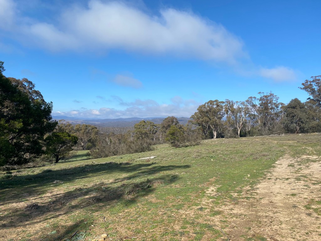
After Bradleys Creek Crossing, it was not always obvious which route to follow so it is worth having some navigational assistance (either on your GPS device or via an off-line map – I can recommend Pocket Earth from years of use). Avoiding dead-ends, there are some choices as to which route to follow. Intrigued by what was on offer by going closer to the dam, we followed a track that diverged from the Queanbeyan River Fire Trail but was still quite clear and included trail signs. This route included two more creek crossings that were similar to Bradleys Creek, each of which was possible to cross without getting wet although not without a bicycle dismount. Interspersed with the challenging but entertaining trail there are some great views towards mountains and also glimpses of the dam.


Gelignite Crossing was a surprise, and is something to be well prepared for if there has been some decent rain in preceding weeks. For this crossing we managed to cross by walking the first part on “stepping stones”, and from the mid-stream island re-mounting bikes on a concreted underwater section. An easy alternative option is to get wet feet.
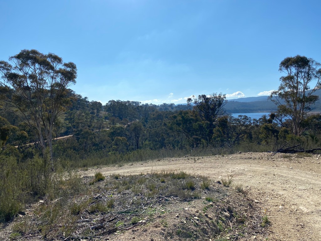
Crossing to the Western Foreshores


After Gelignite Crossing, the tracks seem much more frequently used and in better condition. After a steep climb, there are some sweeping descents as the ride heads down towards London Bridge and Drawdown Crossing. We chose to follow the council recommended route to the crossing rather than heading to London Bridge, and this is where you have no choice but to get wet feet. It is essential to wade – the river bottom is rough and rocky, making for a perilous mounted crossing. The alternative is to add some kilometres to your ride by heading around London Bridge. But what is the fun in that? No, actually, that might make more sense depending on your mood, and is in fact mandatory when Googong is full as the water level is chest high (yep, I’ve tried it on another visit).
Western Foreshores
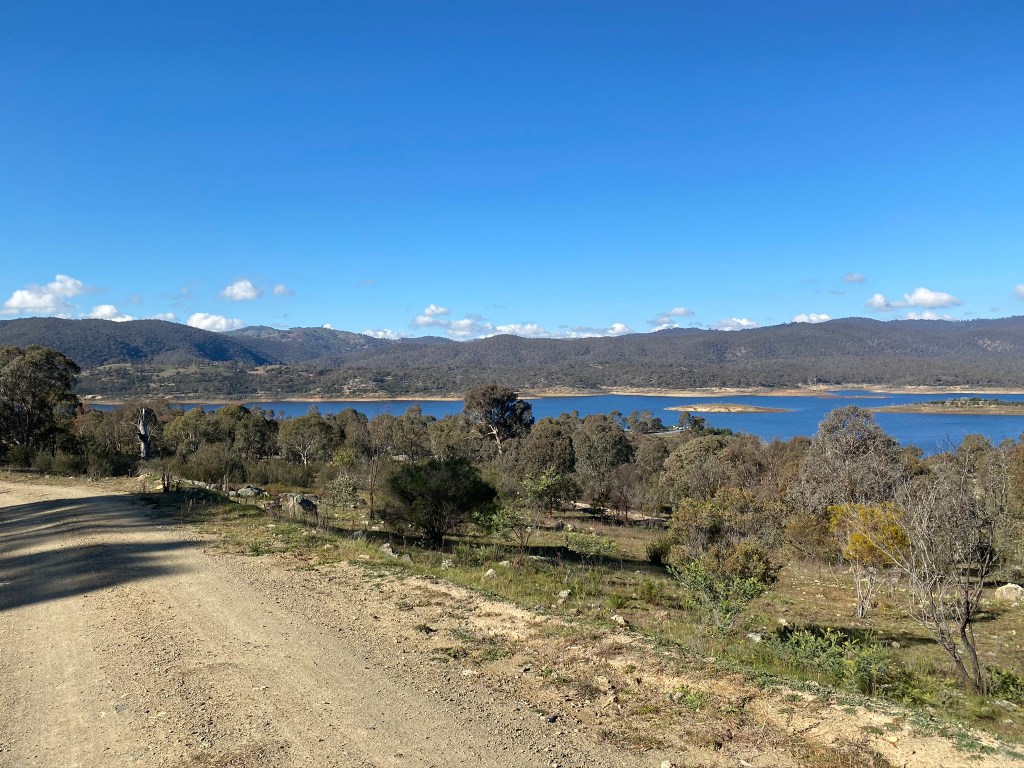
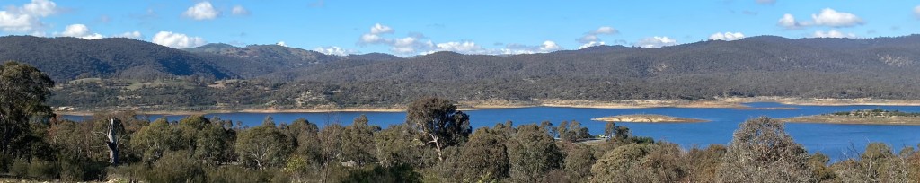
The Western Foreshores road is a sweeping and smoother route that provides great views of the dam, interspersed with a number of nice descents and not-too-tough climbs. Having seen no one on the eastern side of the dam, this part of the ride seems quite popular with walkers and riders alike. It is a ride that is recommended in its own right. It’s just not quite as epic as the full loop.
Details of this ride
Travel guidance
- This ride is tough, and needs a MTB. There are some very steep climbs and descents with loose rocks and tight turns. If you are thinking of just riding on the Western Foreshores ride, a gravel bike would be a good choice – the track is well maintained and relatively smooth.
- Consider recent weather. I expect that significant rainfall in preceding weeks could make a big difference to the challenge presented at some crossings.


