First things first. Yes, this site is CyclingGravel, so normally the idea is to cycle on gravel. But there are so many adventures to be had by bike – the best are away from busy traffic regardless of surface or road. So why not take on a sand island (in fact the third largest in the world)?
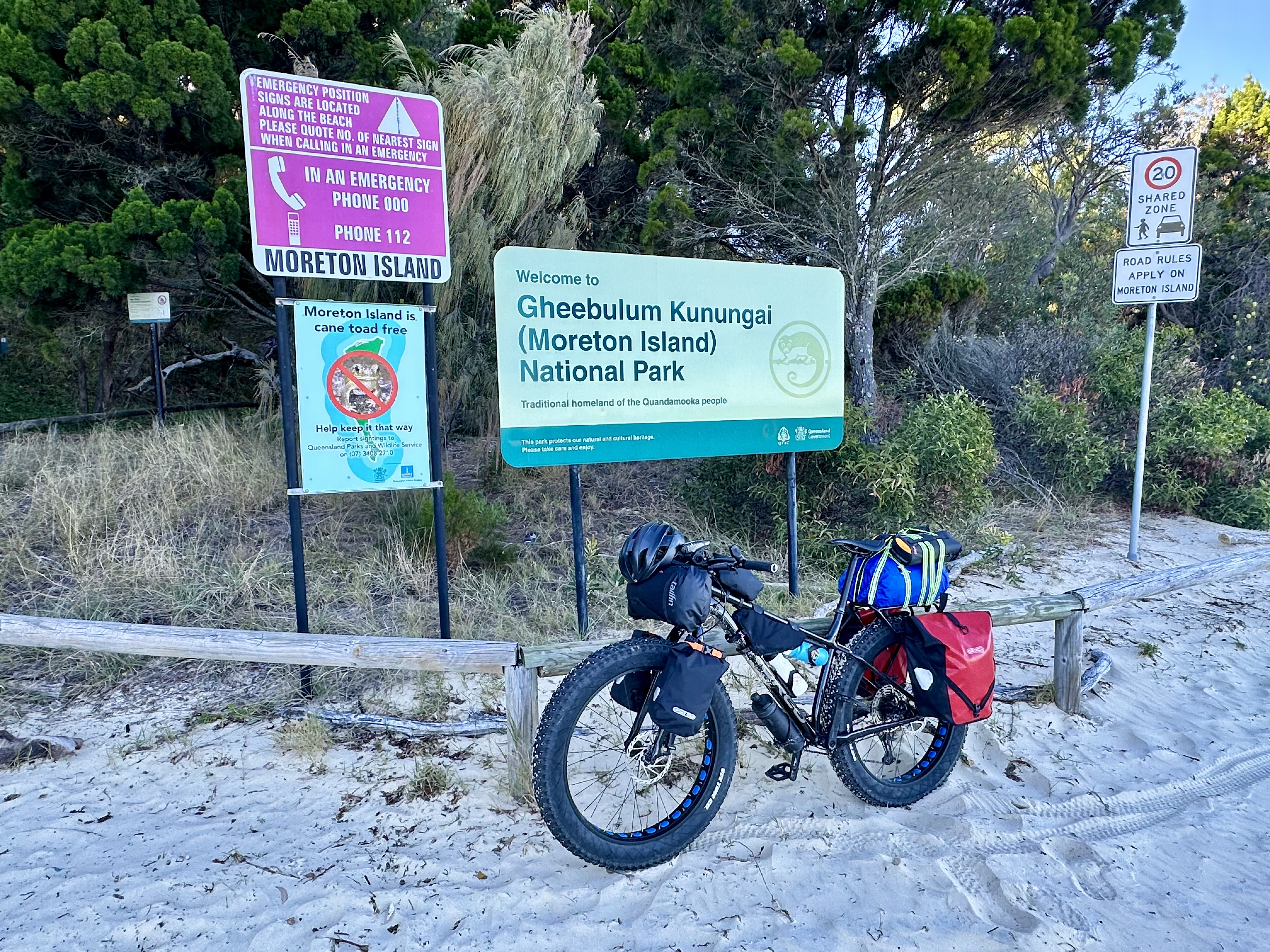

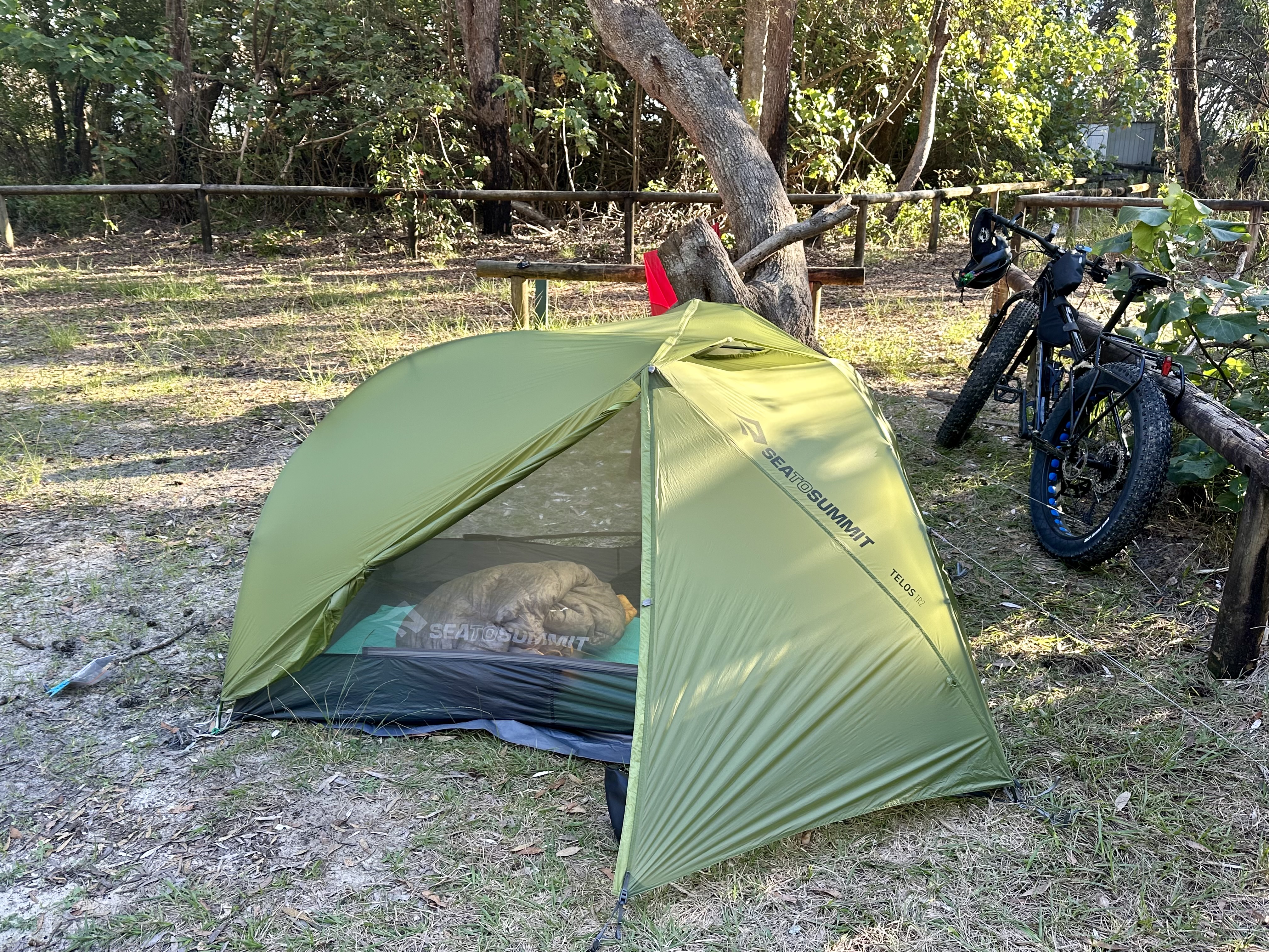
While I won’t be renaming the site CyclingSand, you do need a fat bike for this adventure. But if you have one of those (or can borrow one), Moreton Island is a great place to get away, explore and camp for a few days. What I can almost guarantee is that you will be the only one there doing it by bike!!
Getting to Moreton Island

Getting to Moreton Island is actually quite straight-forward – book a ferry and off you go. I had some challenges confirming how to book a bike, but after emailing Moreton Island Adventures I was told to book as a passenger and then pay $25 for the bike on the day. This proved simple and the staff were super helpful in finding a place onboard for the bike.
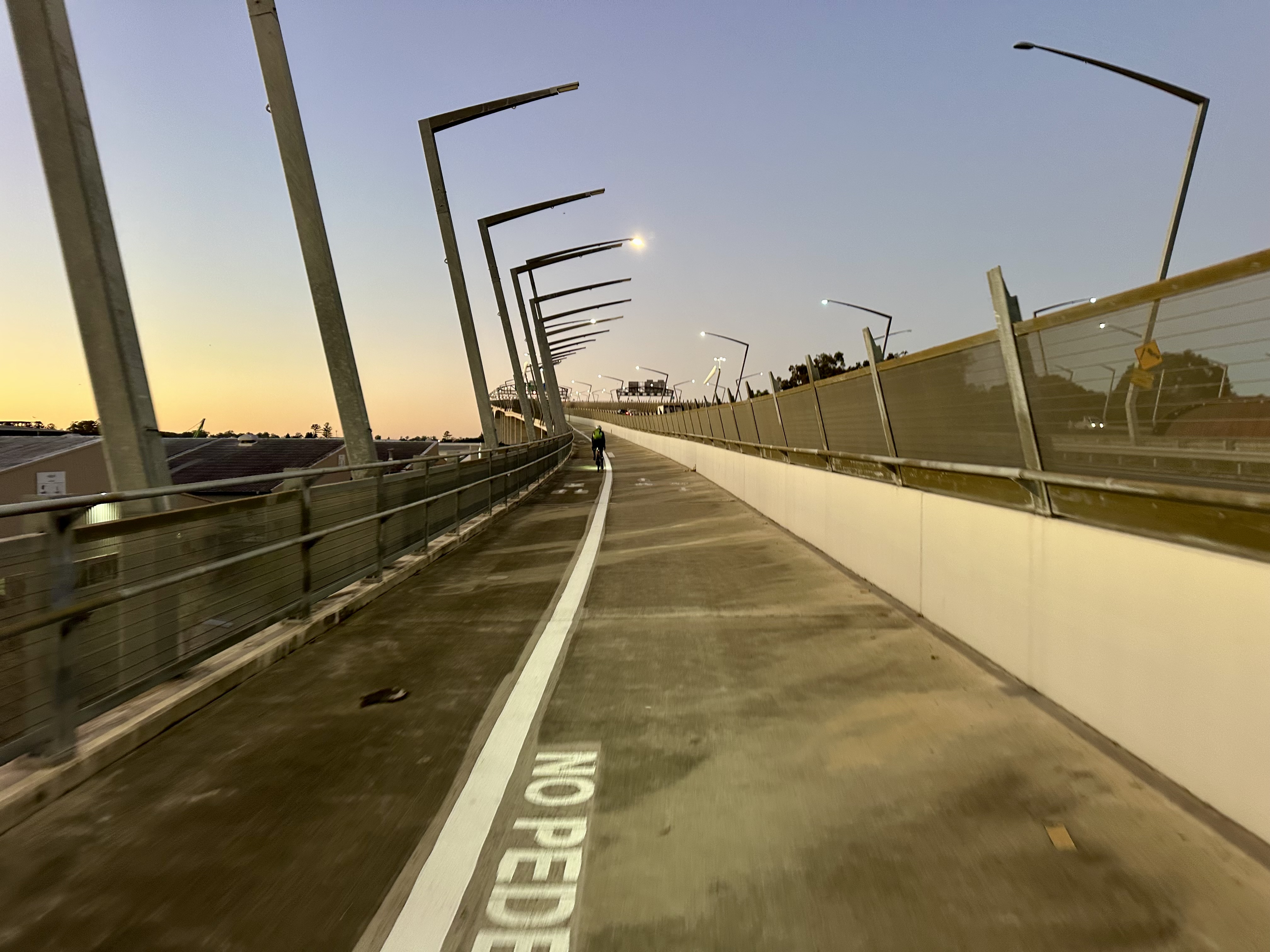
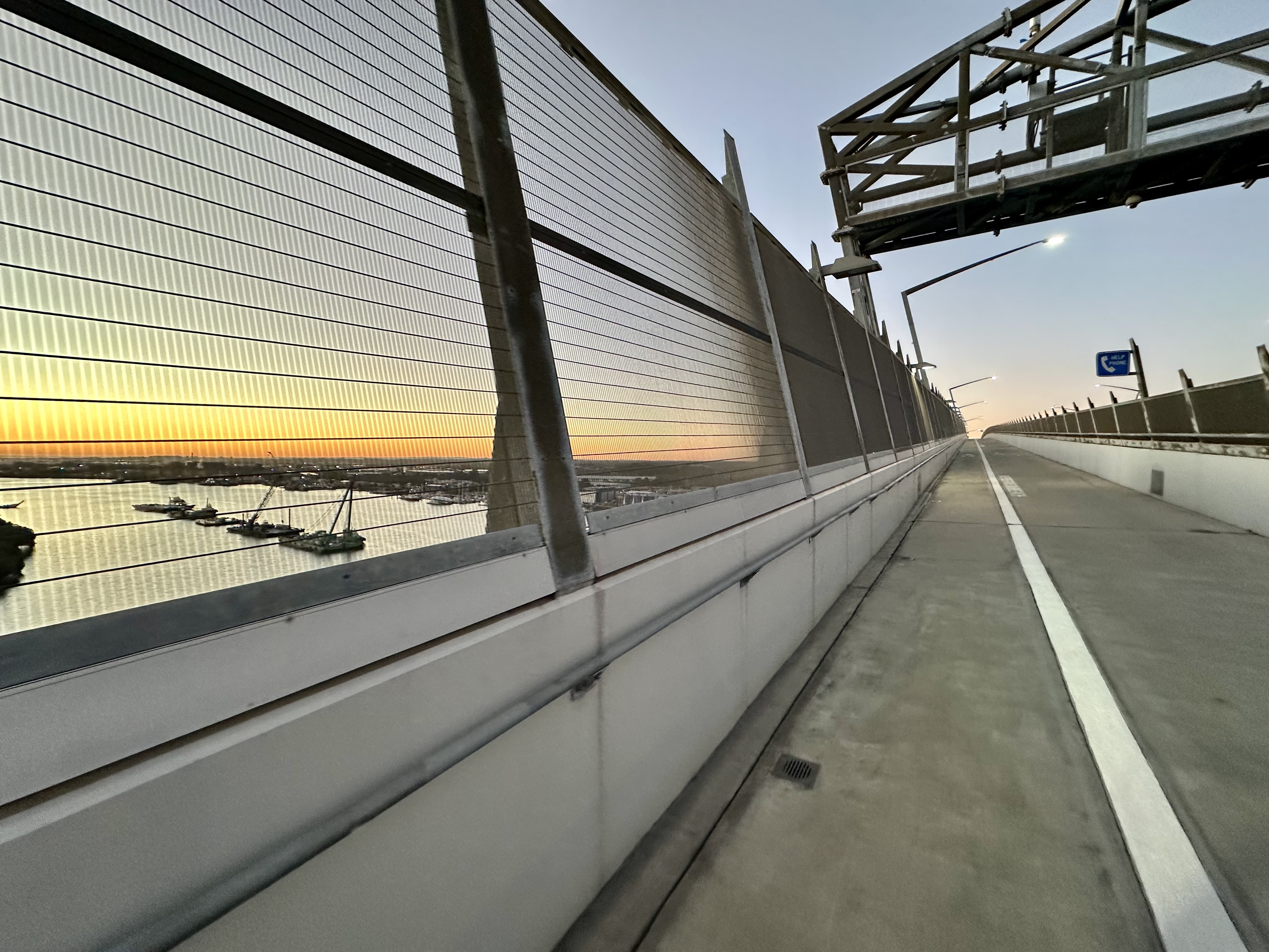
More challenging was getting to the ferry. I chose to cycle there from an Airbnb near Brisbane airport. With a little planning there are decent cycleways to get over towards the port (via the Gateway Bridge), and then once over the bridge cycle lanes and paths if you do your research. Not brilliant but not terrible either, particularly given the understandable volume of truck traffic.

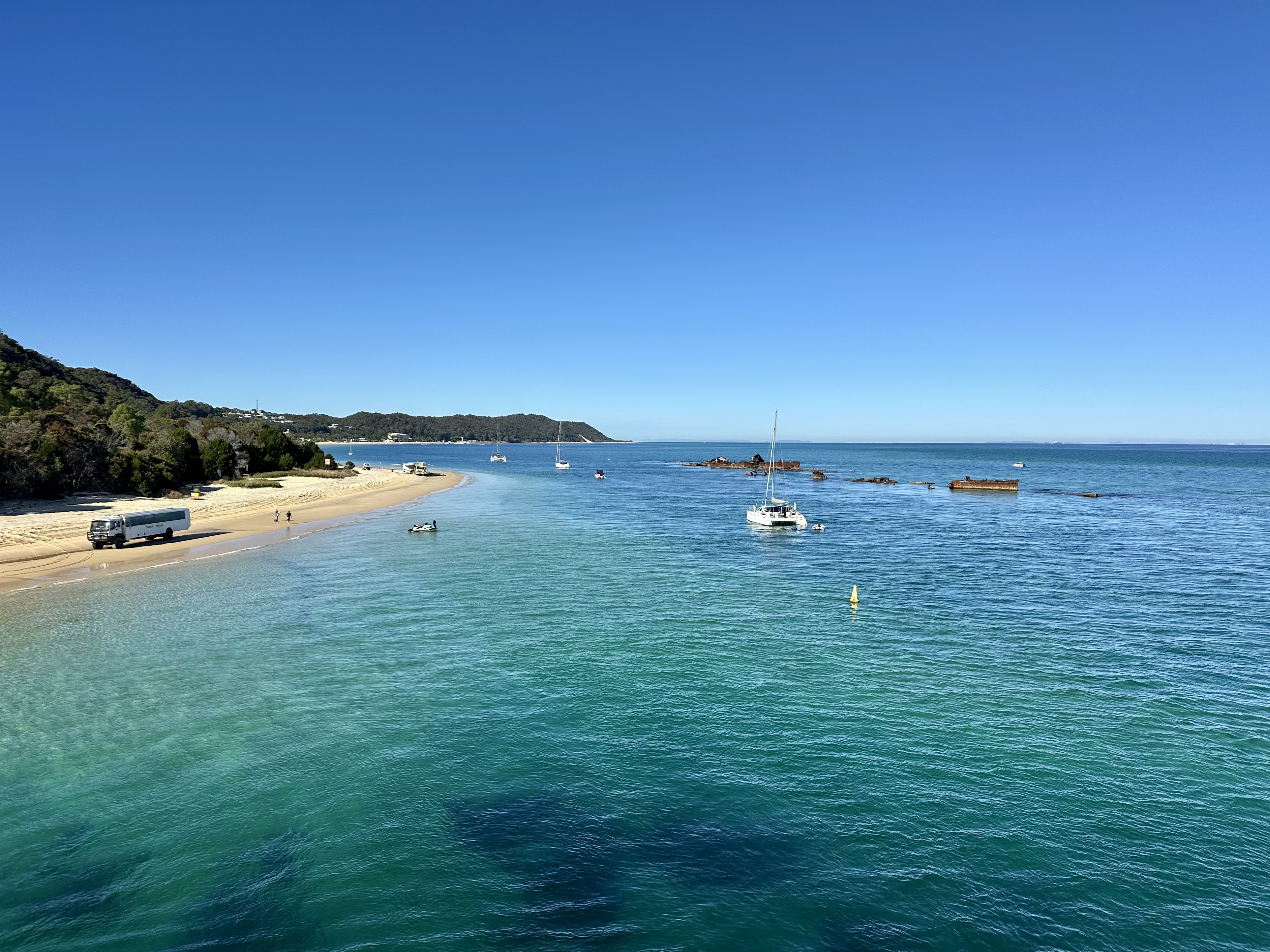
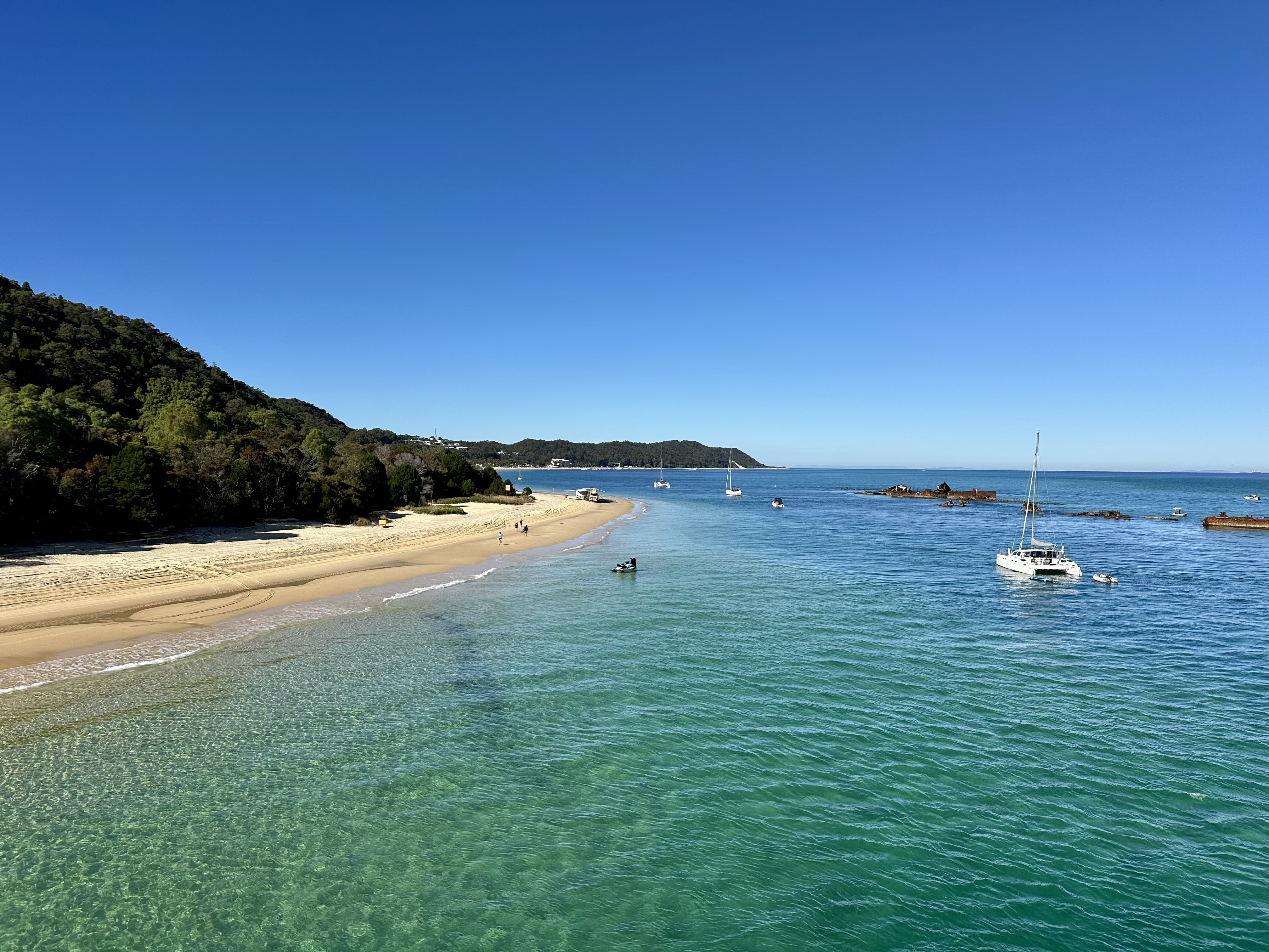
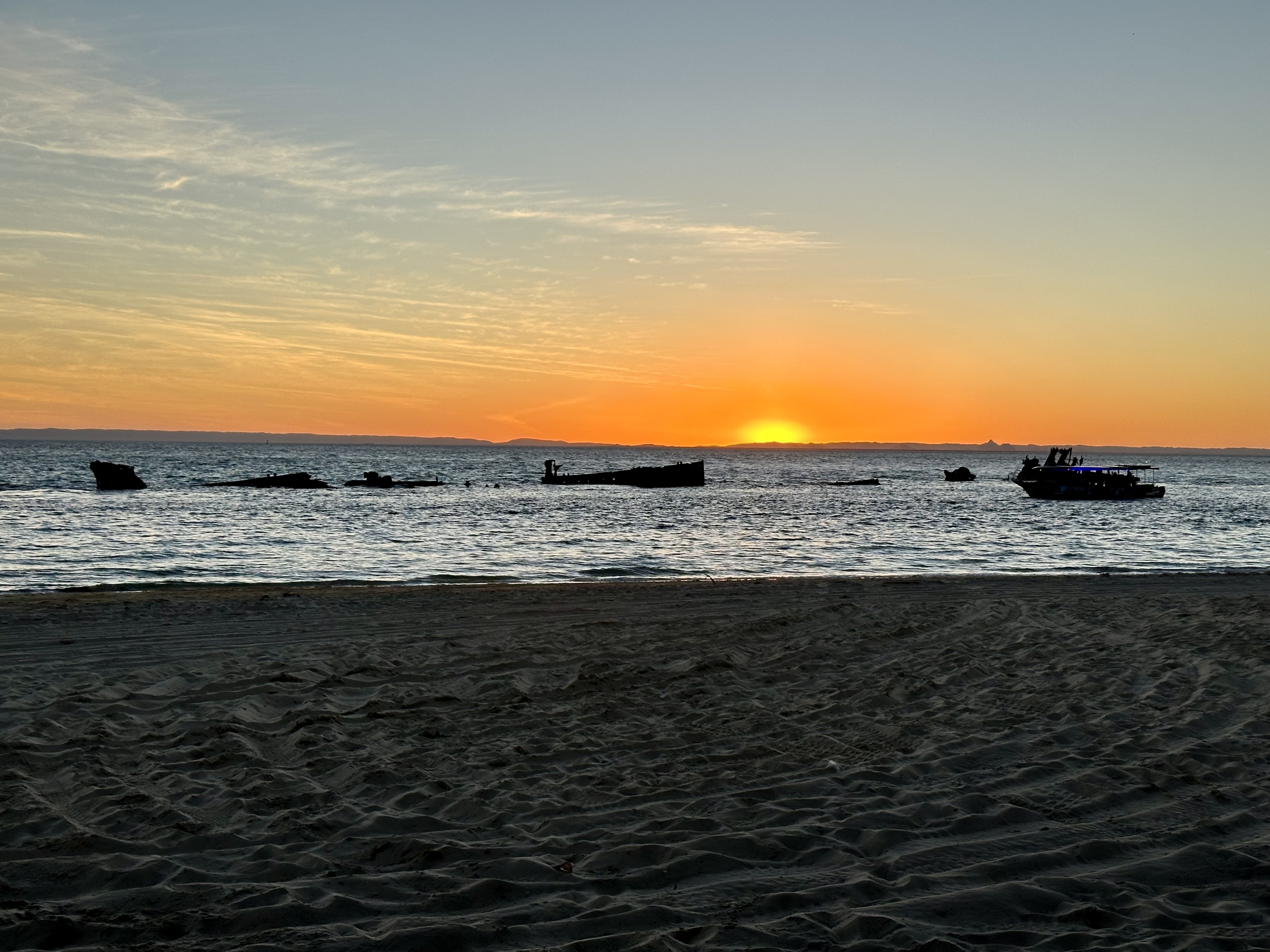
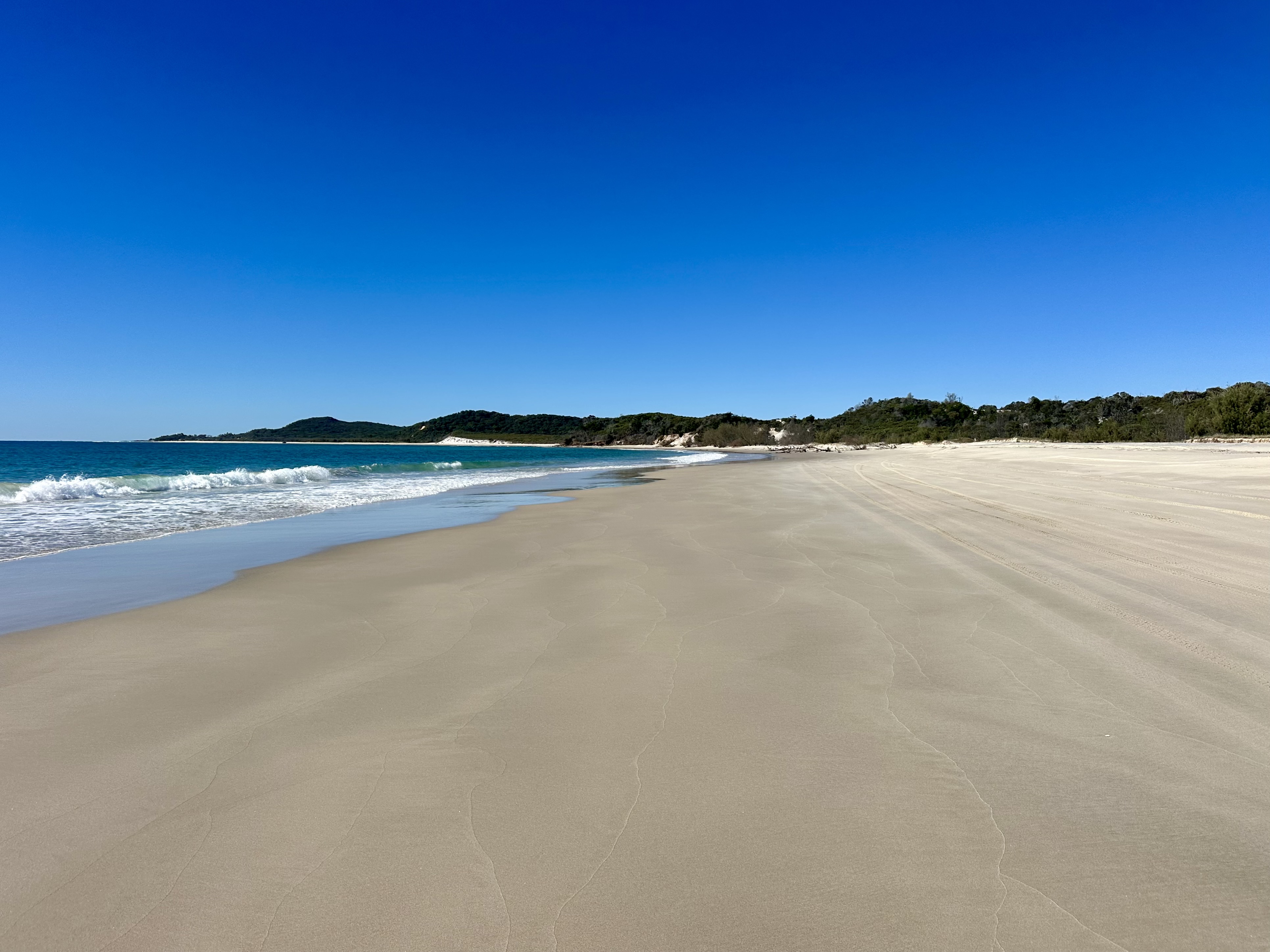
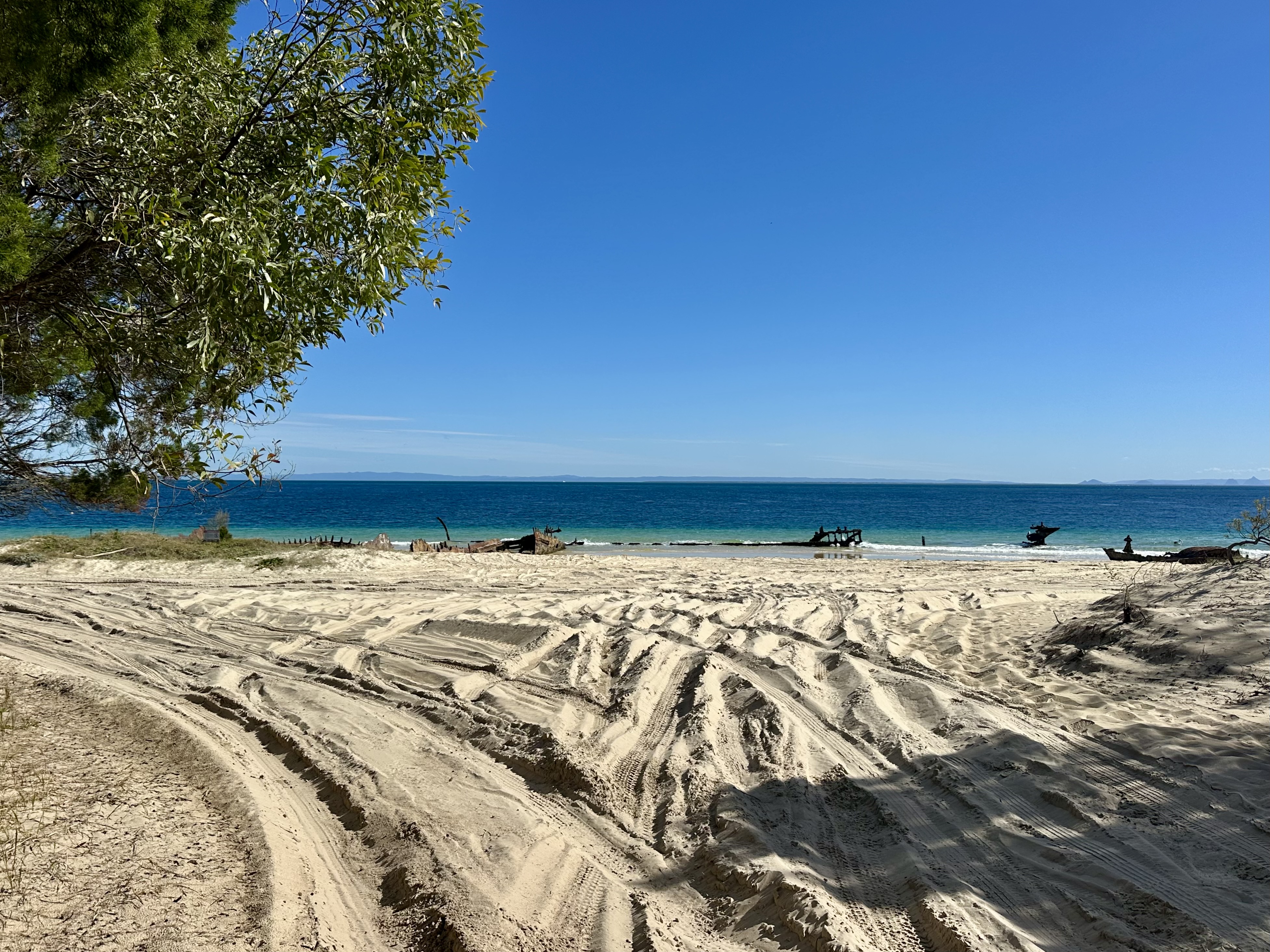
Once on the ferry it is about 75 minutes until arrival at the island, where you are deposited straight onto the beach at the Wrecks. Pretty epic, and accompanied by idyllic views.


Camp planning
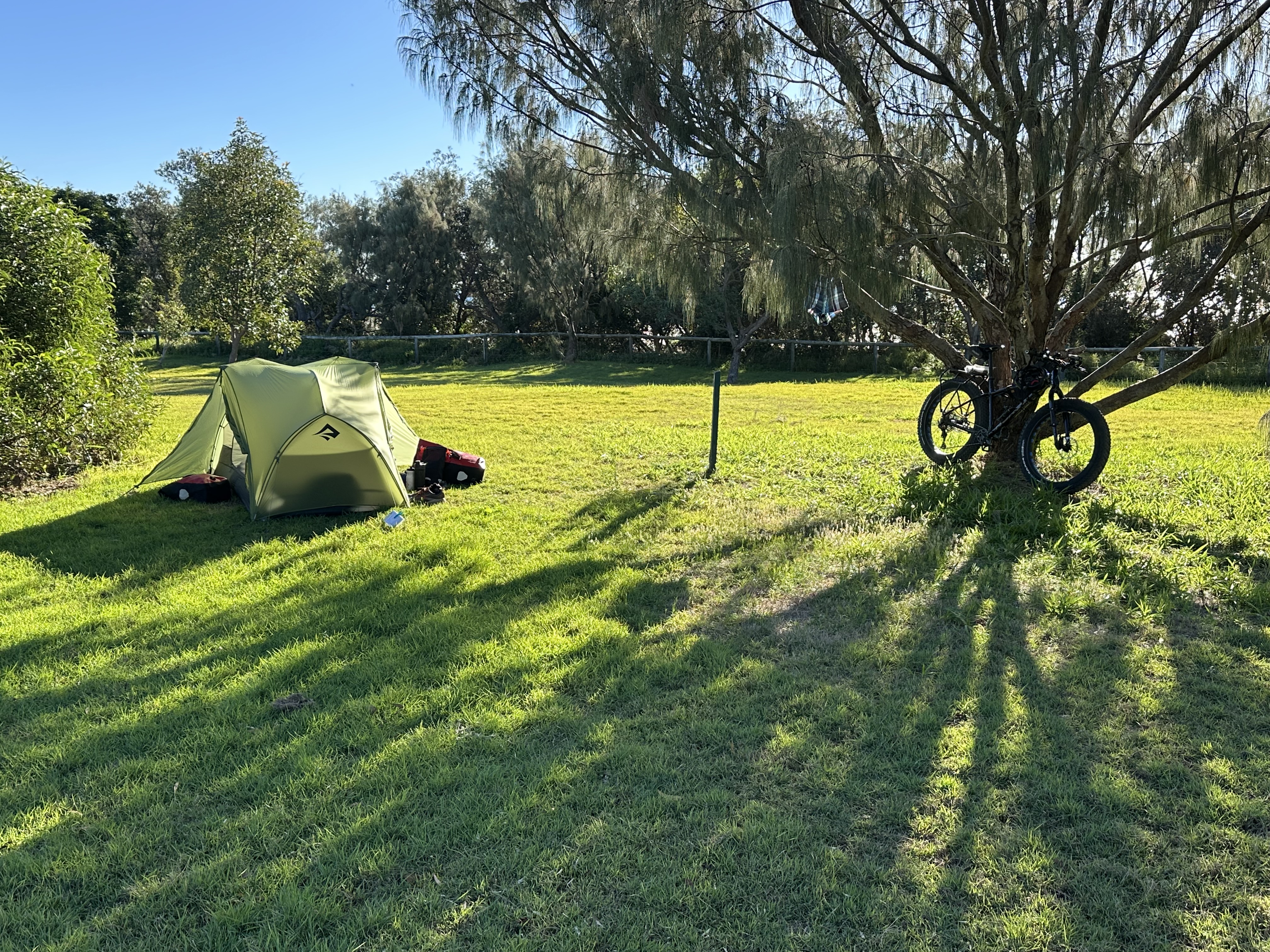
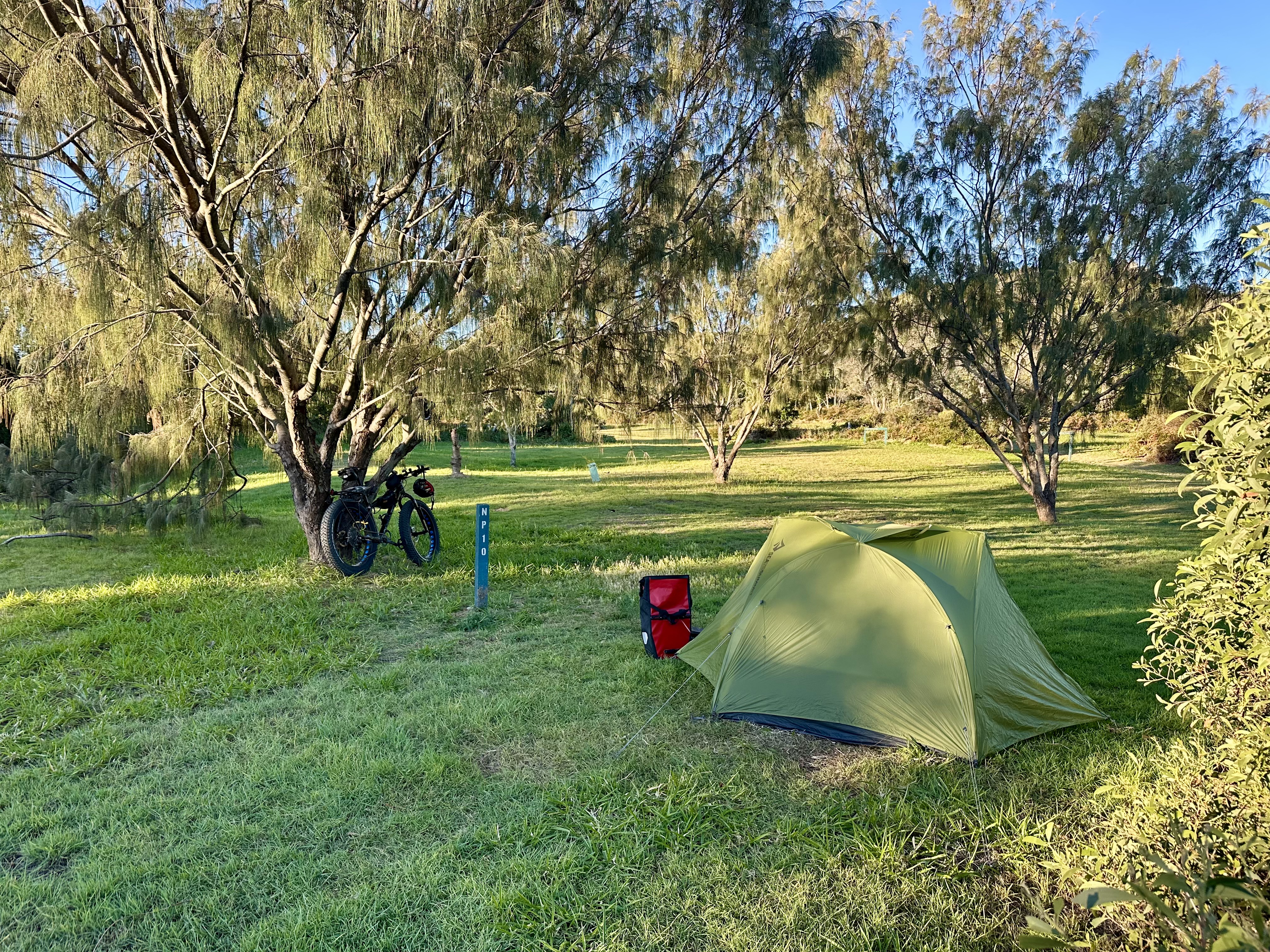
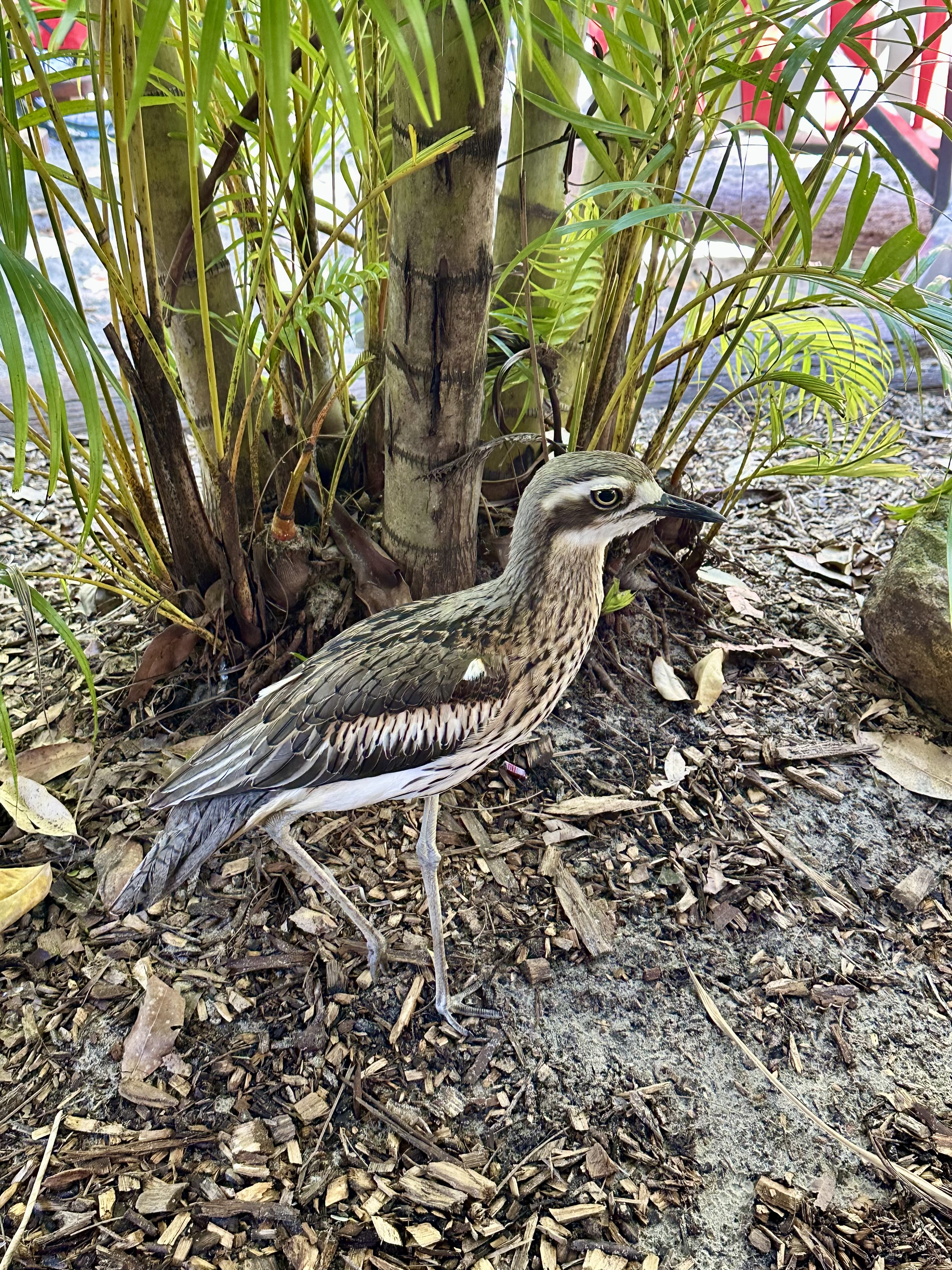
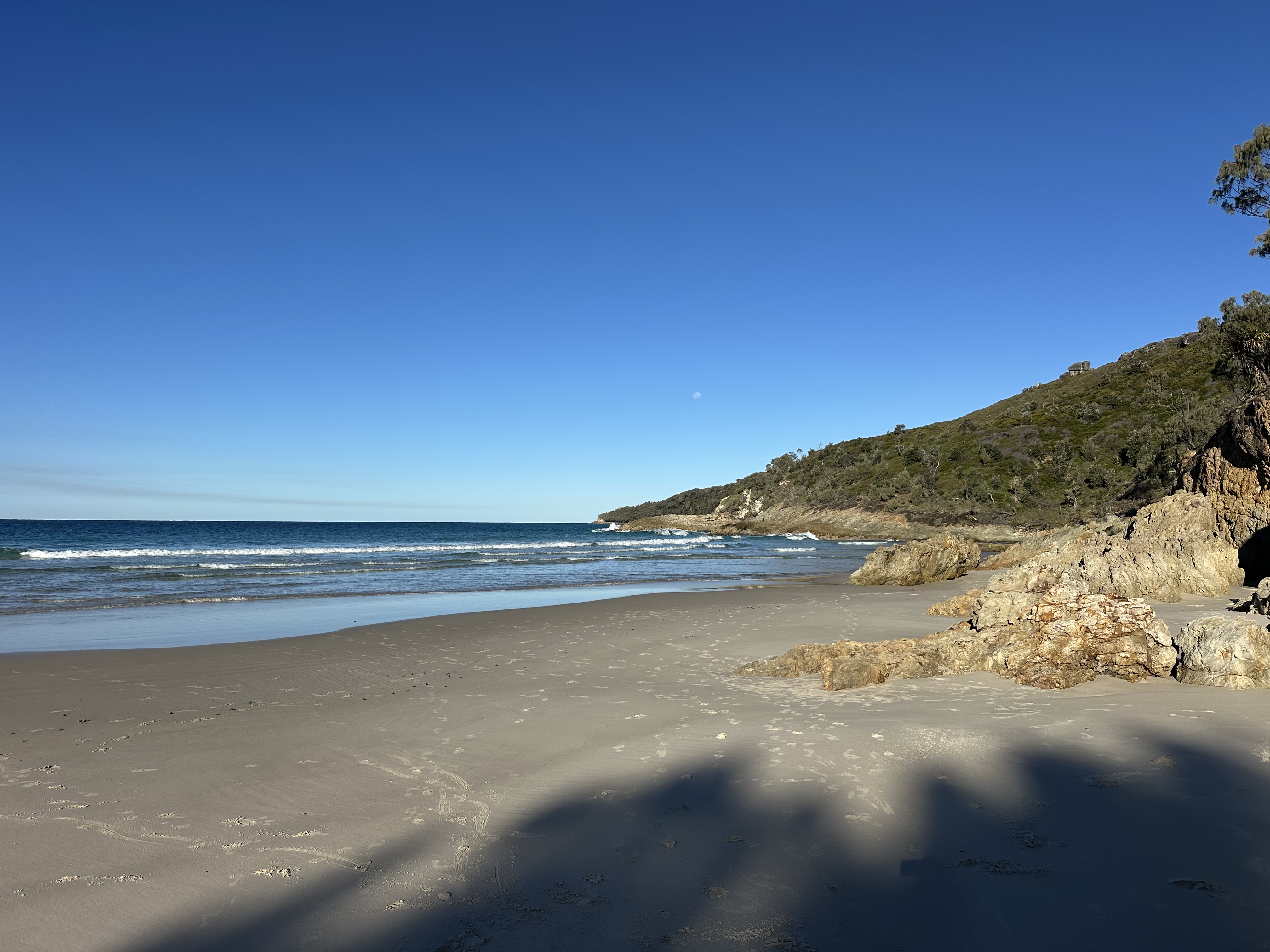
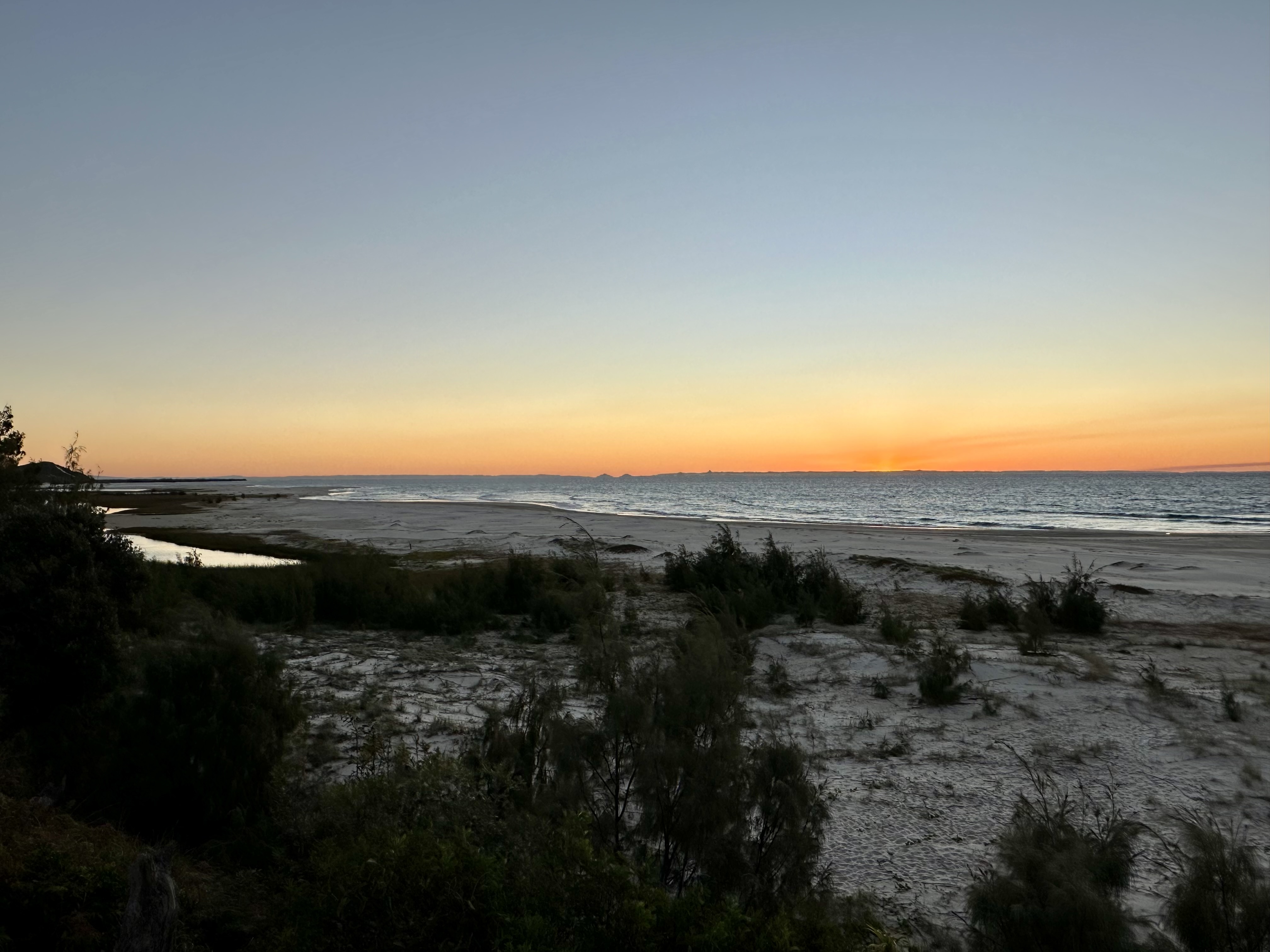
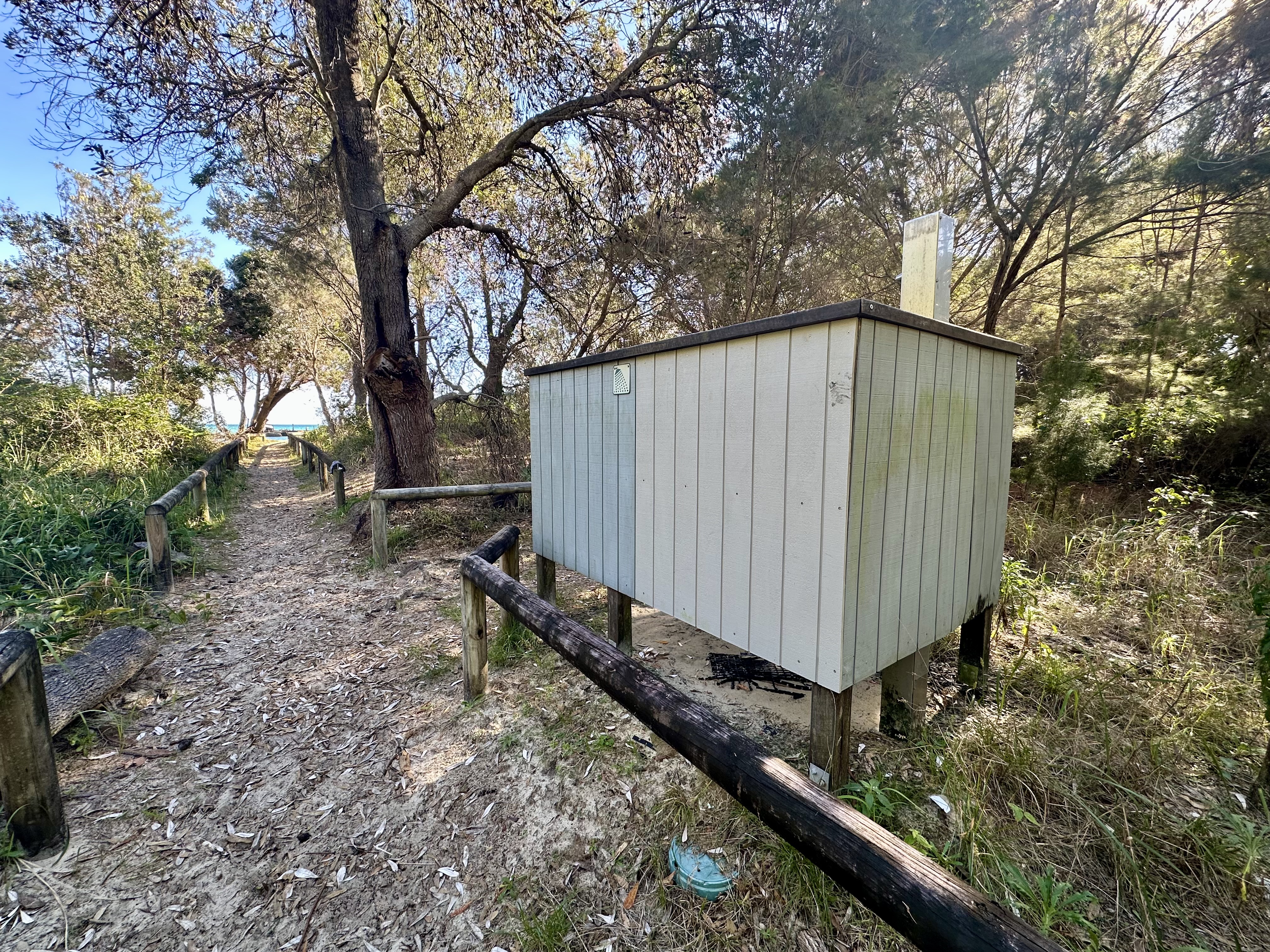
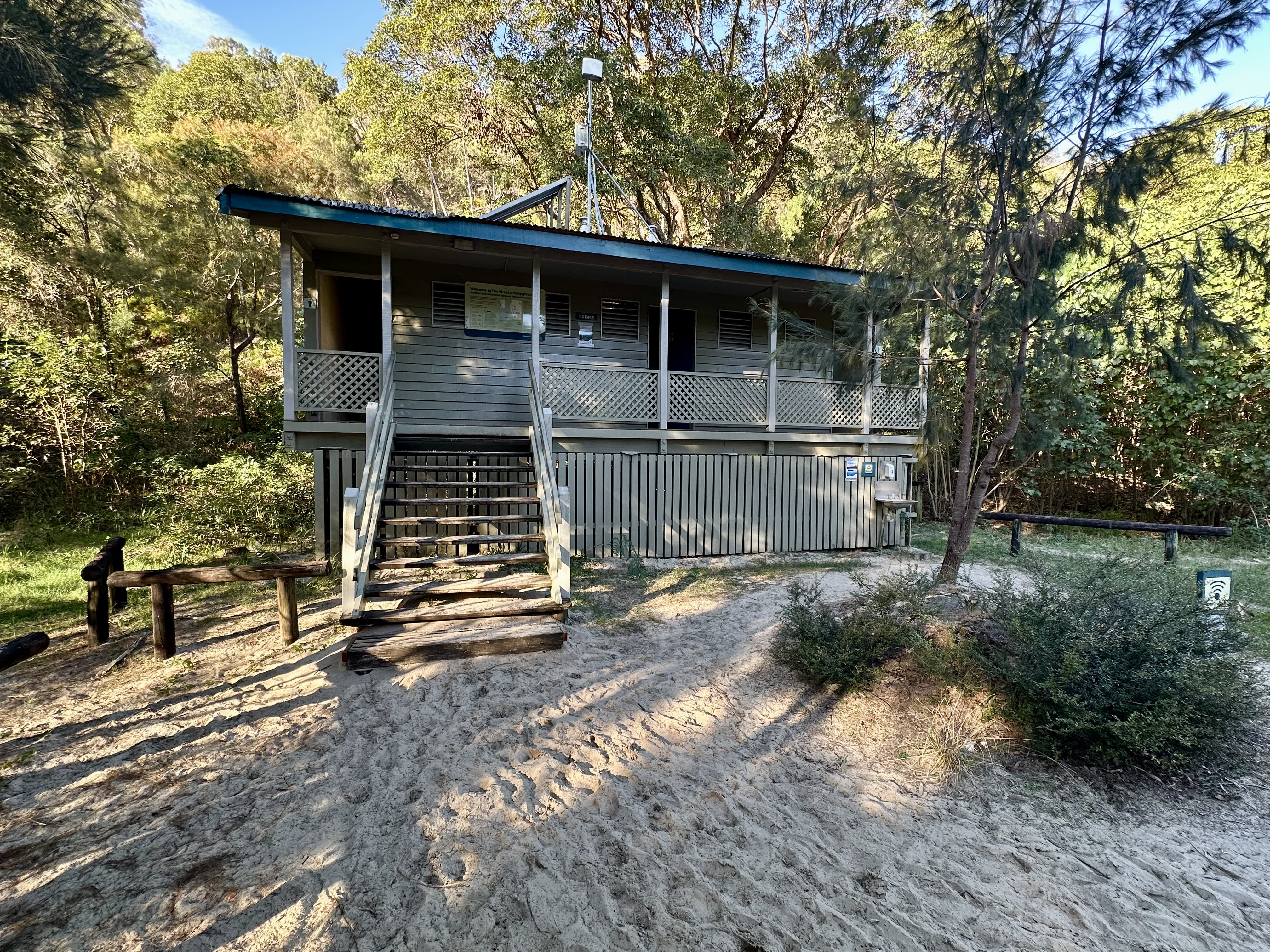
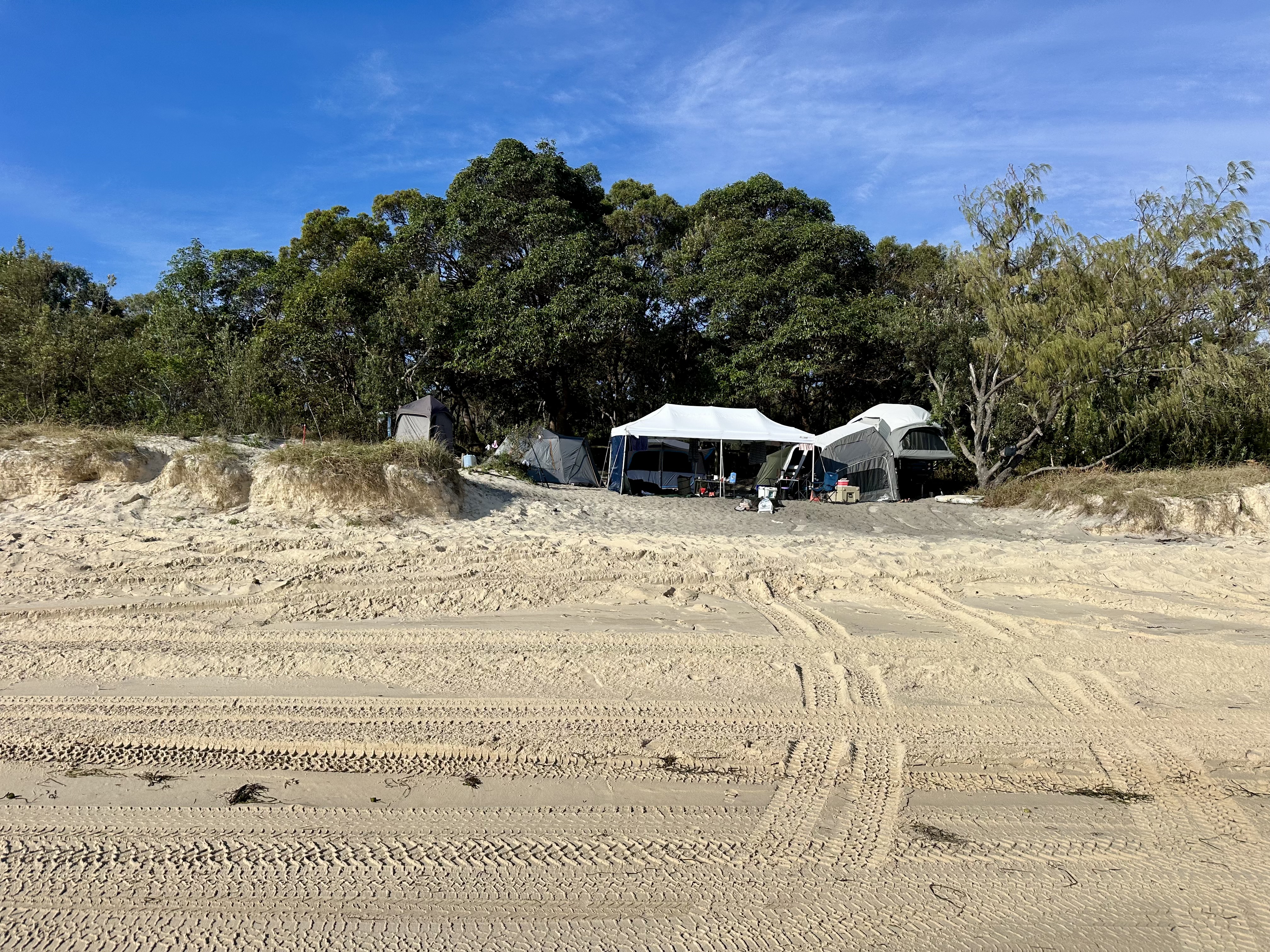
Having arrived I headed north to get to my camp site. In planning my time on Moreton Island (see Mulgumpin Island Map) I chose campgrounds with basic amenities (more on this below) and with the cycling in mind. Having said that, I was also seeking quieter grassy locations with great swimming. Given these criteria I recommend North Point as an excellent location. For the two nights I was there only three of the twenty sites were occupied despite it being July school holidays (sites are spread across a huge space), the toilet block in good condition, water easy to access (it does require treatment – I use a Grayl Geopress), a basic freshwater cold shower available and the swimming at Honeymoon Bay was fantastic (provided you know what to look for on a surf beach). Topping this off there is a great sunset view and the night time company of the bush stone-curlews.

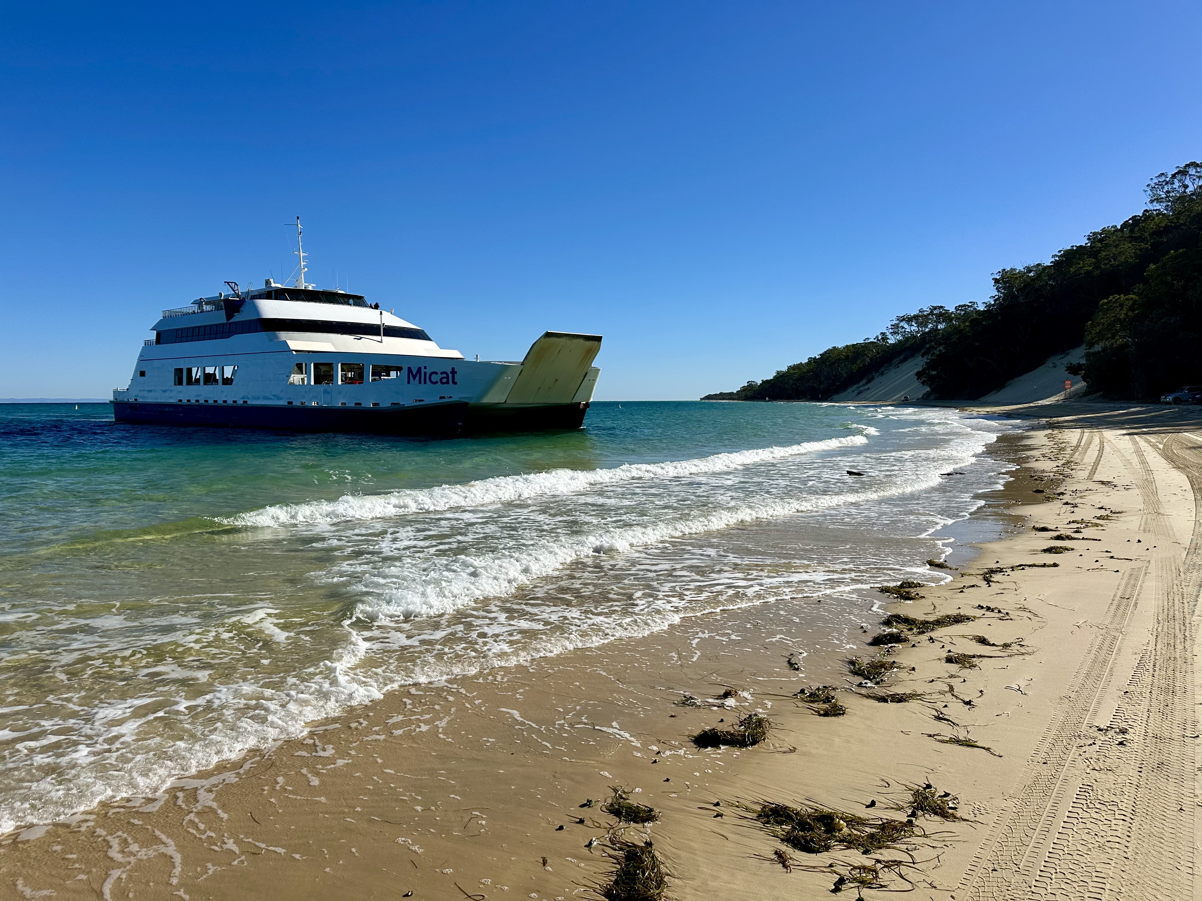
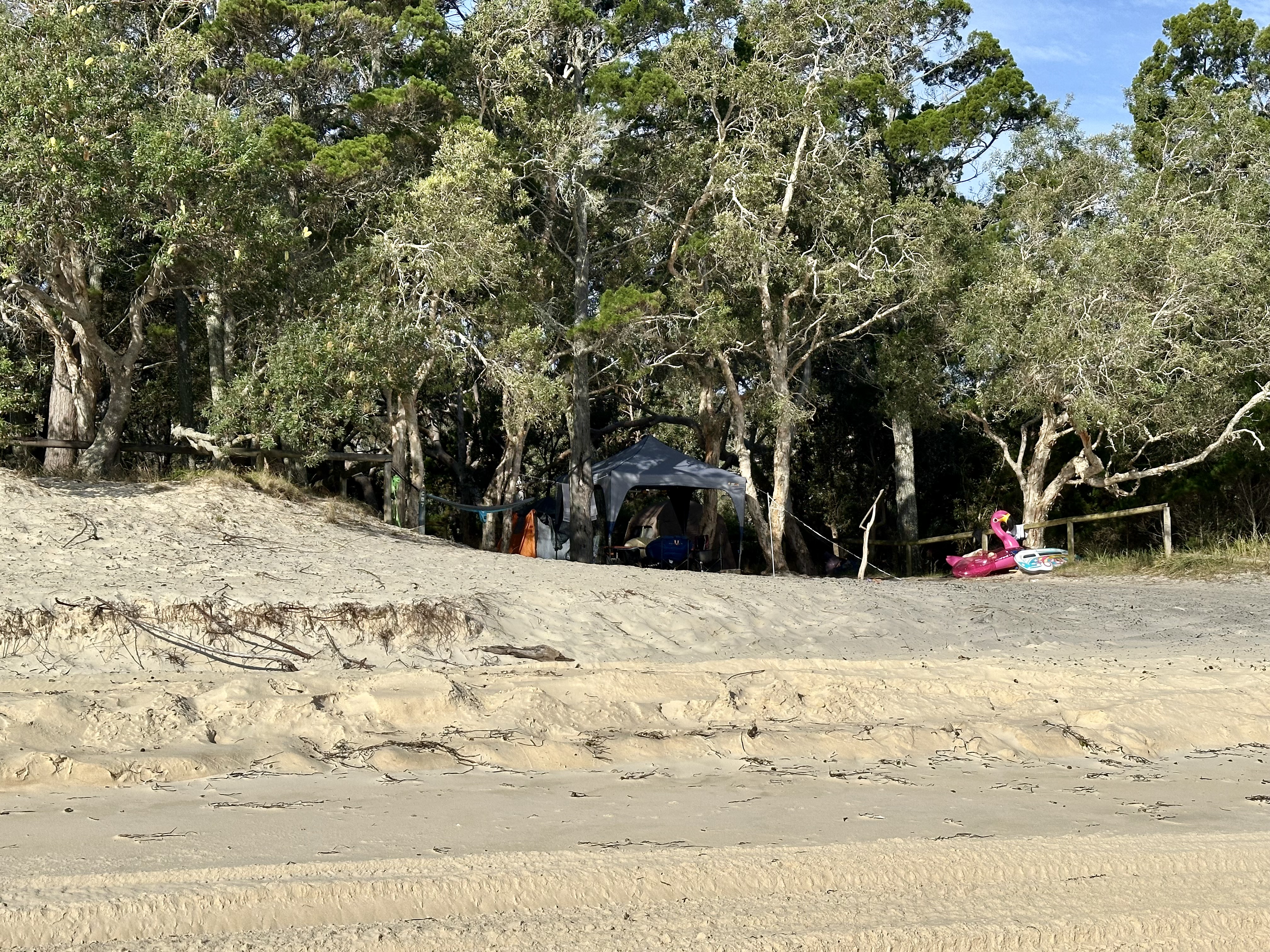
With three nights planned and a morning ferry departure, I moved camp for the final night to The Wrecks. This site was fine but not as nice – it was sandy, I didn’t like the swimming as much (although some will love being able to snorkel to the wrecks) and the toilets less well maintained (I’m sure in part because they get a lot of use by day swimmers at the wrecks).
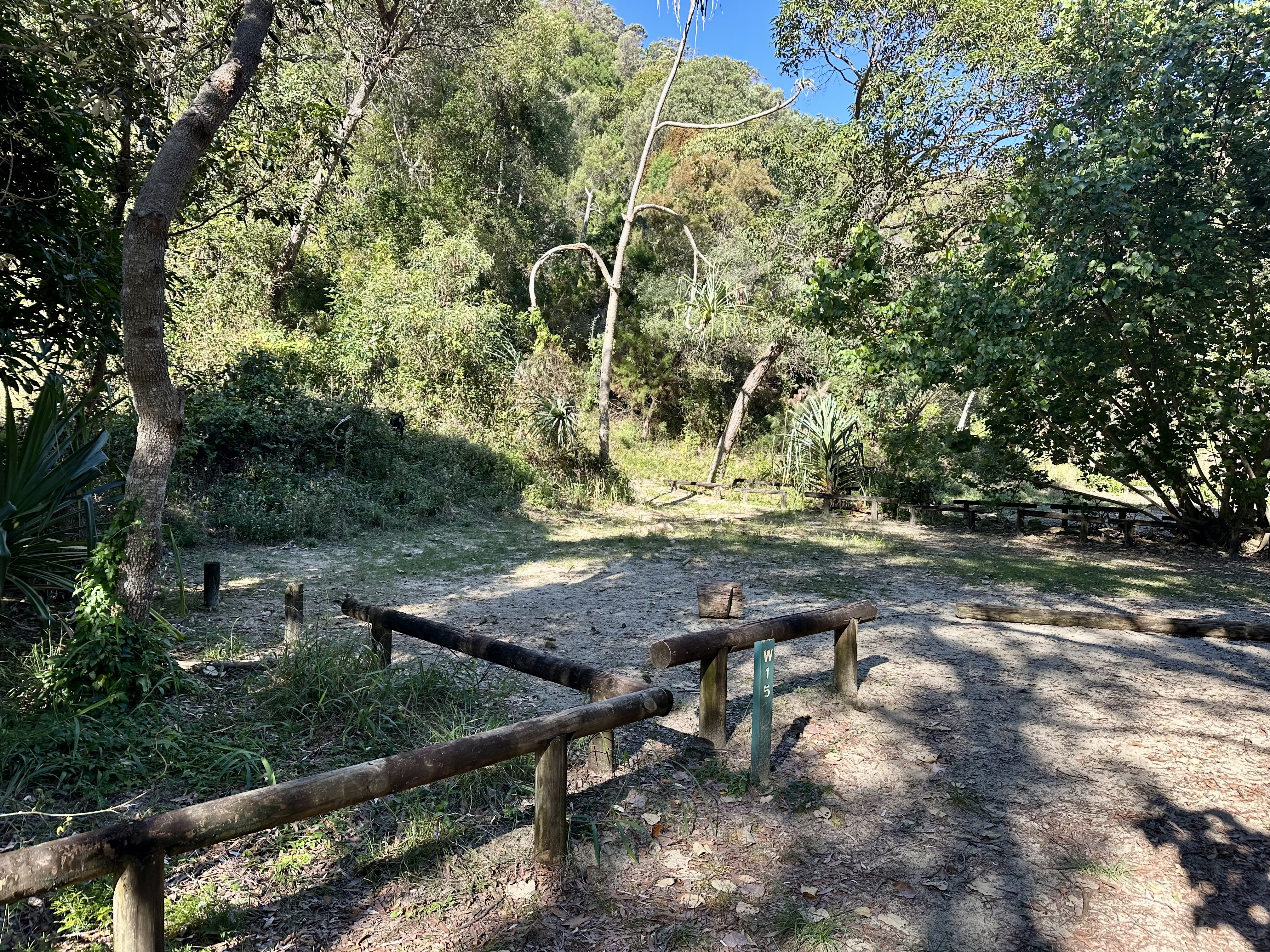

Having said that, the Wrecks had some pluses: I was the only person camping there, there are multiple beach showers, it was well protected from wind, rubbish disposal is available and the sites are walk/cycle in only. As a base for the final night it was fine.
Given that CyclingGravel articles are a by-product of having a good time (rather than a travel brochure) I did not spend much time looking at the on-island camping alternatives. I briefly cycled through Comboyuro campground and this seemed similar to the Wrecks but with the advantage of being walking distance from the Castaways store and cafe in Bulwer (see below). It is fair to say, however, that most of the people camping on the island were in four wheel drives and travelling with their own amenities so they were choosing to use the beach camping sites. These looked really nice (but sandy), offering privacy from others and most were right on the beach, but there are no in-built facilities.

Getting to North Point


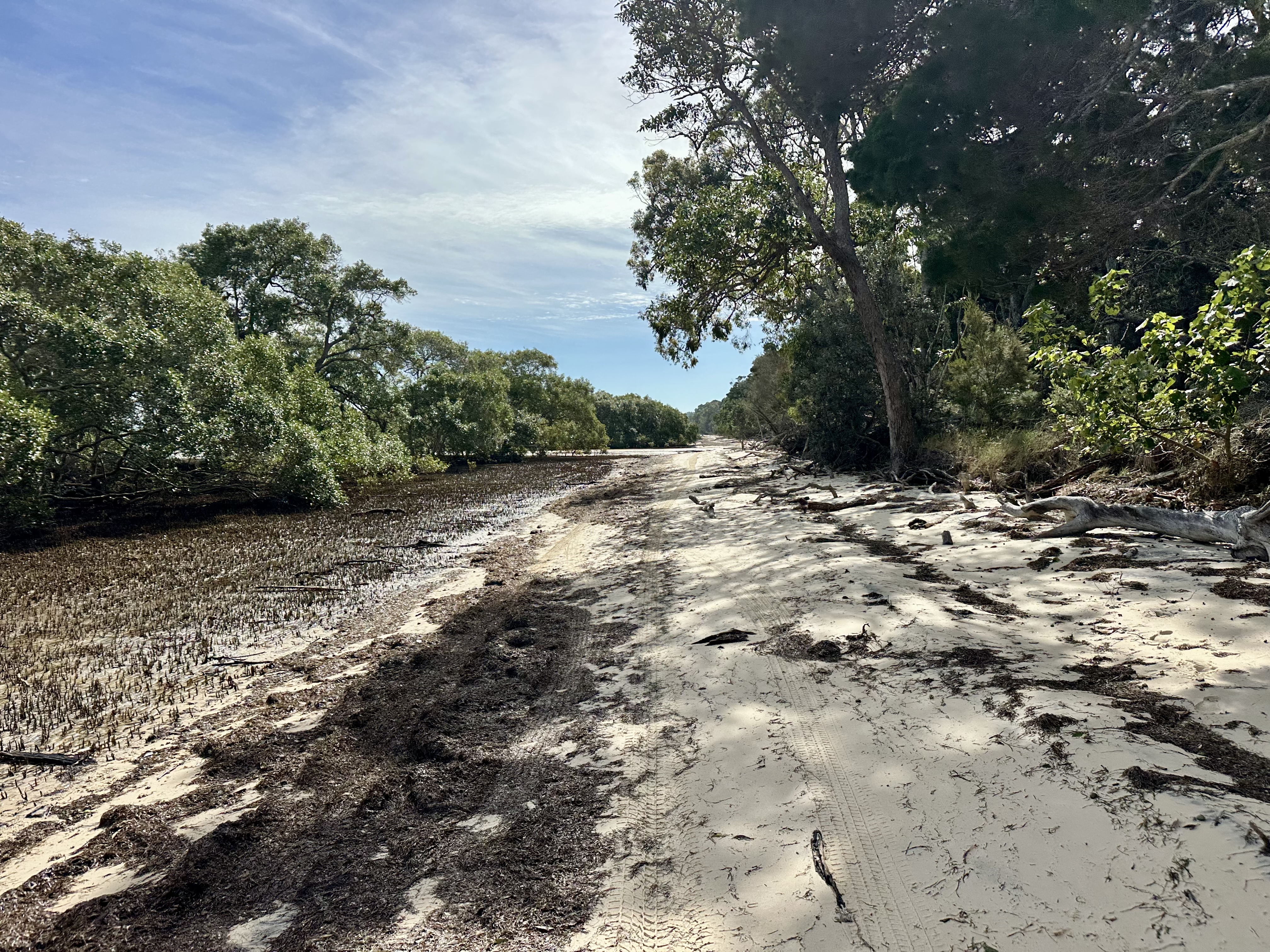
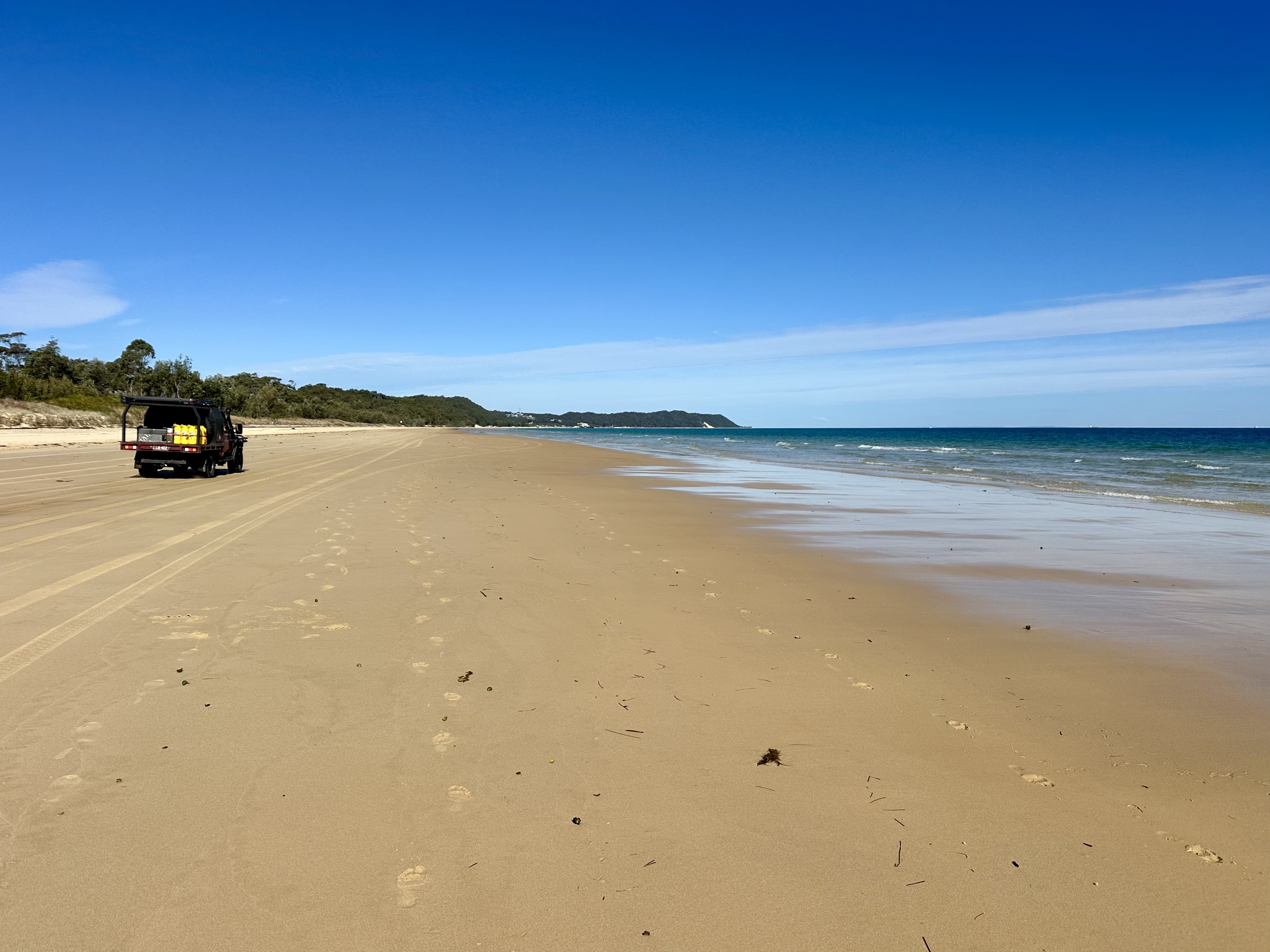
CyclingGravel’s trip from the Wrecks to North Point via the beach was blessed by low tide, shallow creeks and light winds. As I learnt on my time on the island this makes a massive difference to cycling (and driving too). Low tide in particular is important and super helpful as it provides firmer sand, lower levels on creek crossings and at some points an opportunity to stay on the beach where this is not possible at high tide.
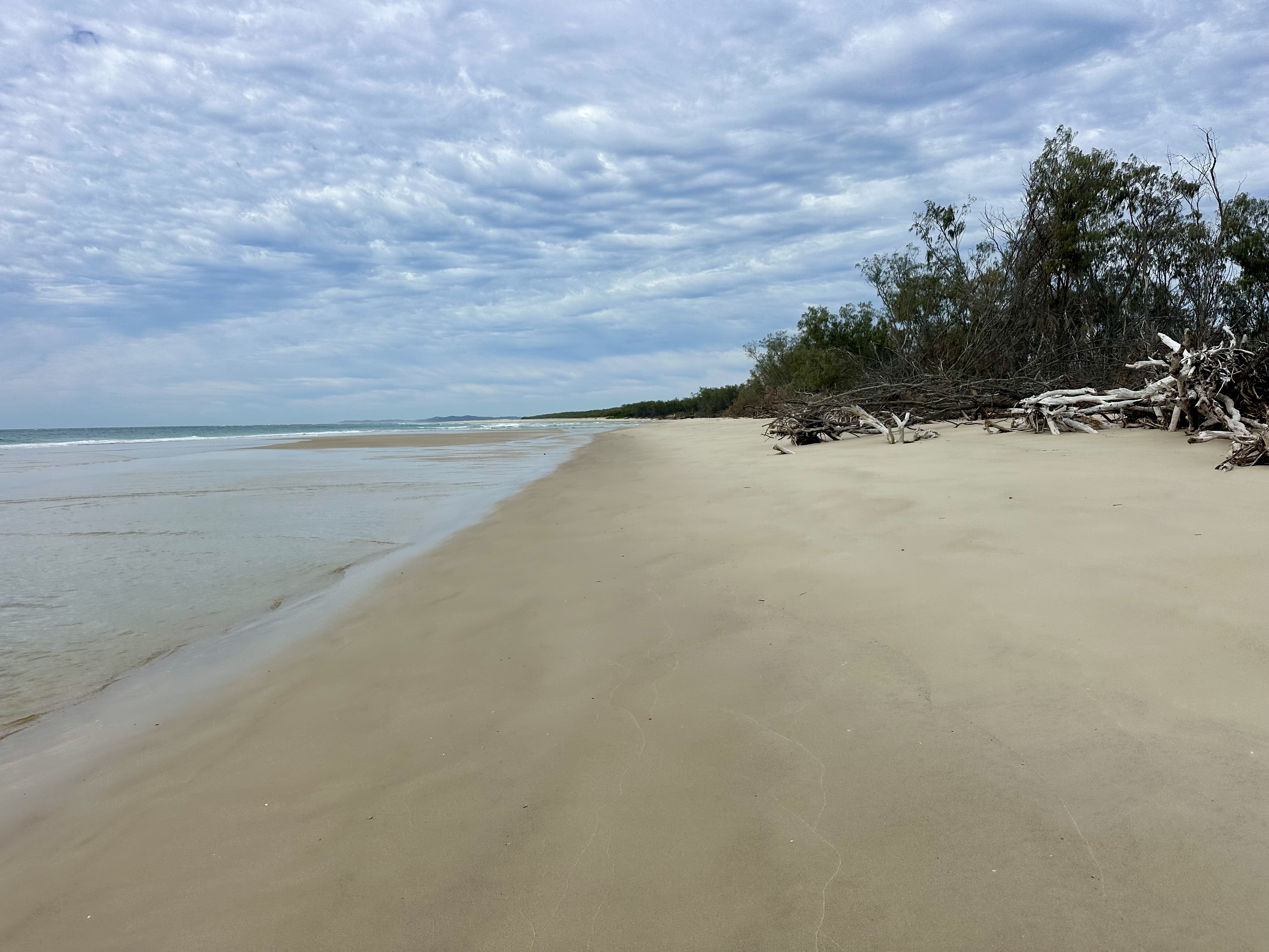
It is the north beaches after Tailor Bight where I found that the tides are most an issue. At low tide it was possible to cycle around tree debris on the beach and also to cross Main Creek without stopping – getting all the way to North Point. On the following day mid-tide not only was it impossible to cycle around the tree debris (I hauled the bike over), but Main Creek was filling rapidly – requiring a thigh-deep wade. I expect it is often the case that the only option would be to take the inland Bulwer – North Point “Road” (see below for my cycle on this).


Moreton Island Circumnavigation
The goal of cycling around the island seemed like a challenge and it proved to be so. This is not an easy ride to complete in a day, but if you take your time and plan around the tides it is definitely doable.
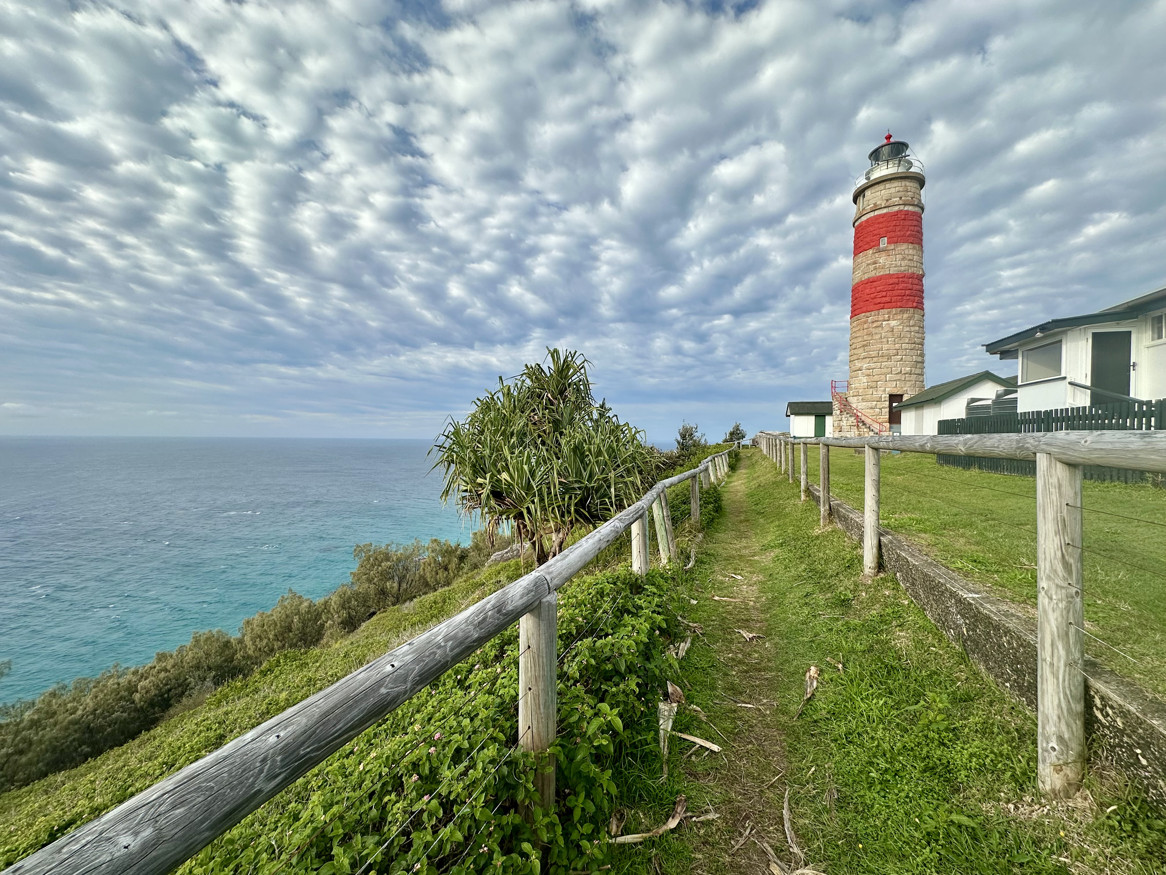
Cape Moreton Lighthouse

If you are lucky enough to be on the island during whale migration season, a trip up to Cape Moreton Lighthouse is amazing. When I got to the lighthouse, I could hear banging – like shots being fired. Turned out, it was whales flapping fins, tails and sometimes breaching. Epic.
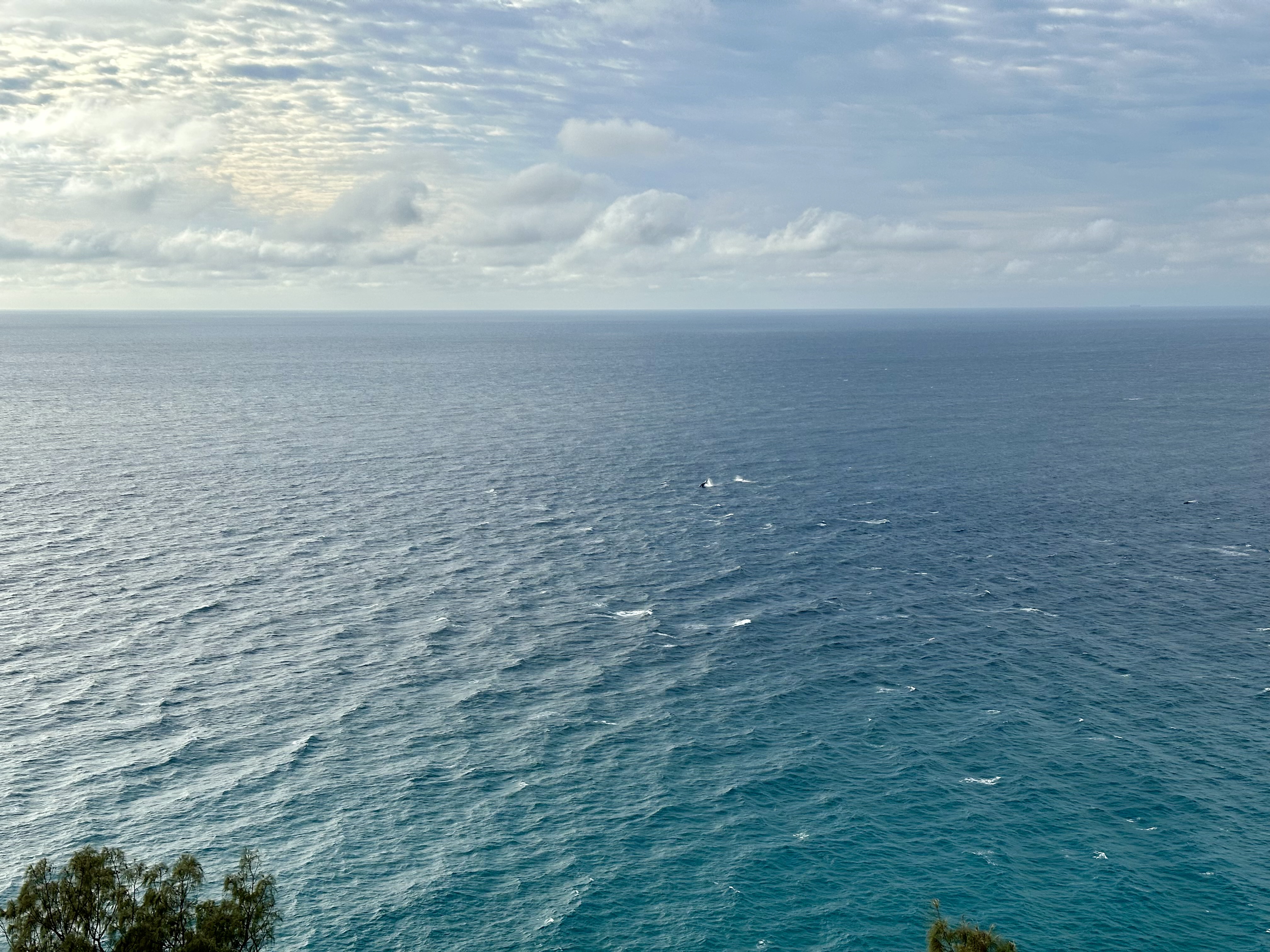
This amazing experience continued when down on the east coast beach – the whales were travelling not far beyond the surf break. There were plenty of schools of fish jumping as well.


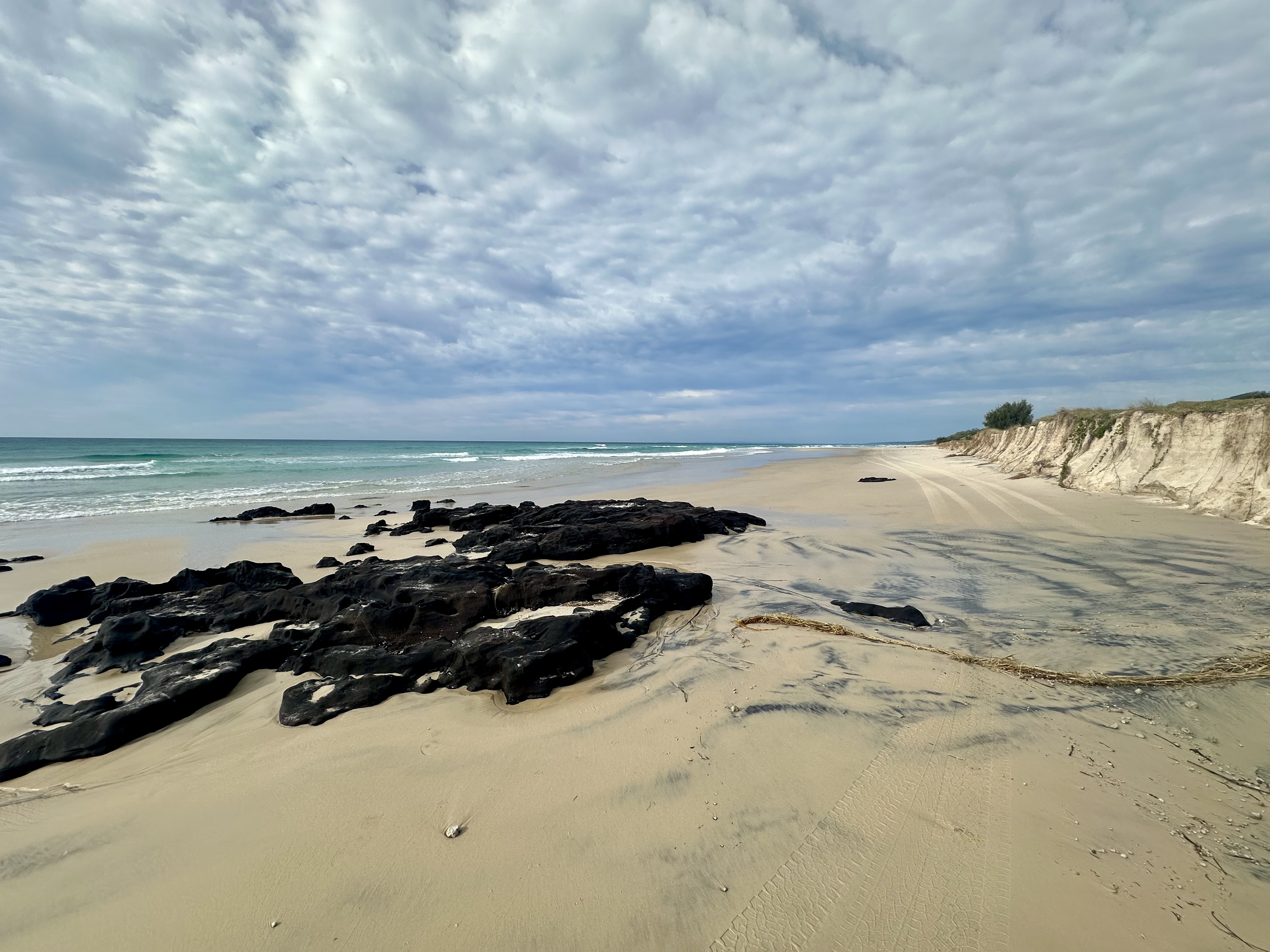
East Coast

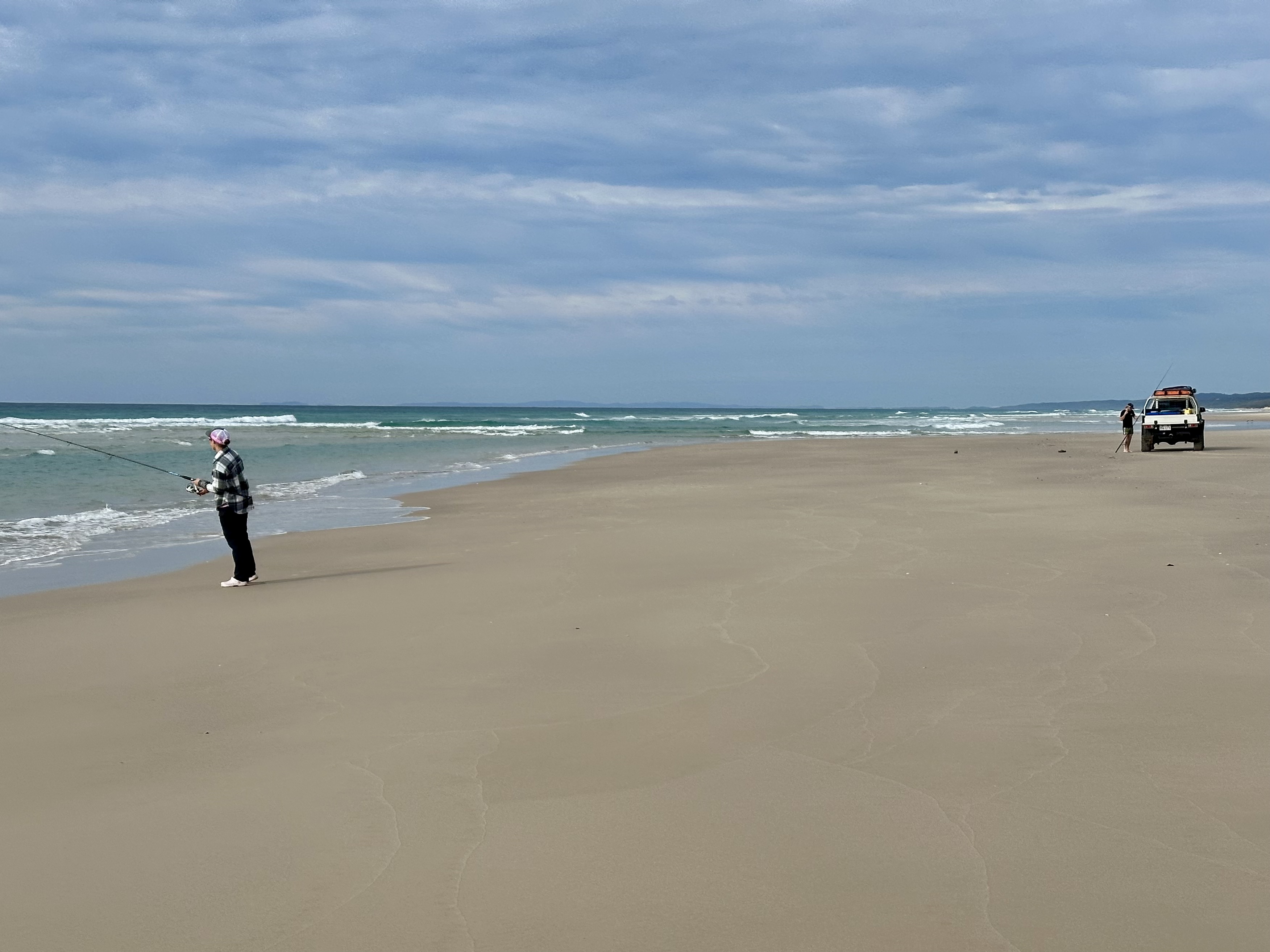
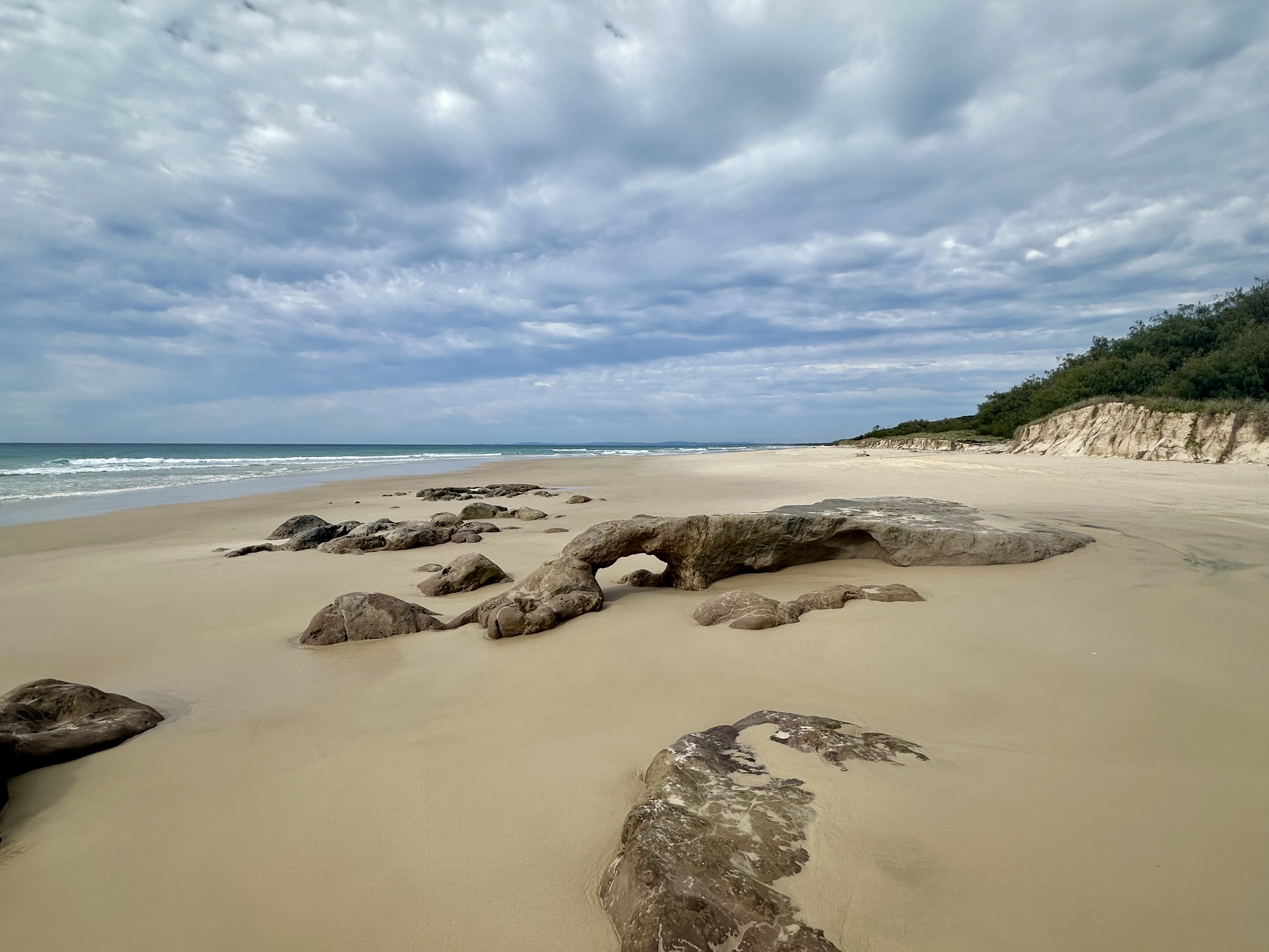
The East Coast beaches are the easiest to cycle on: I think that this is due to the sand being firmer as a result of the surf action, although I was also helped by a tailwind. It is a long trip down the coast, but it is not without sights to see: rock formations, folk fishing, fish jumping in the surf.
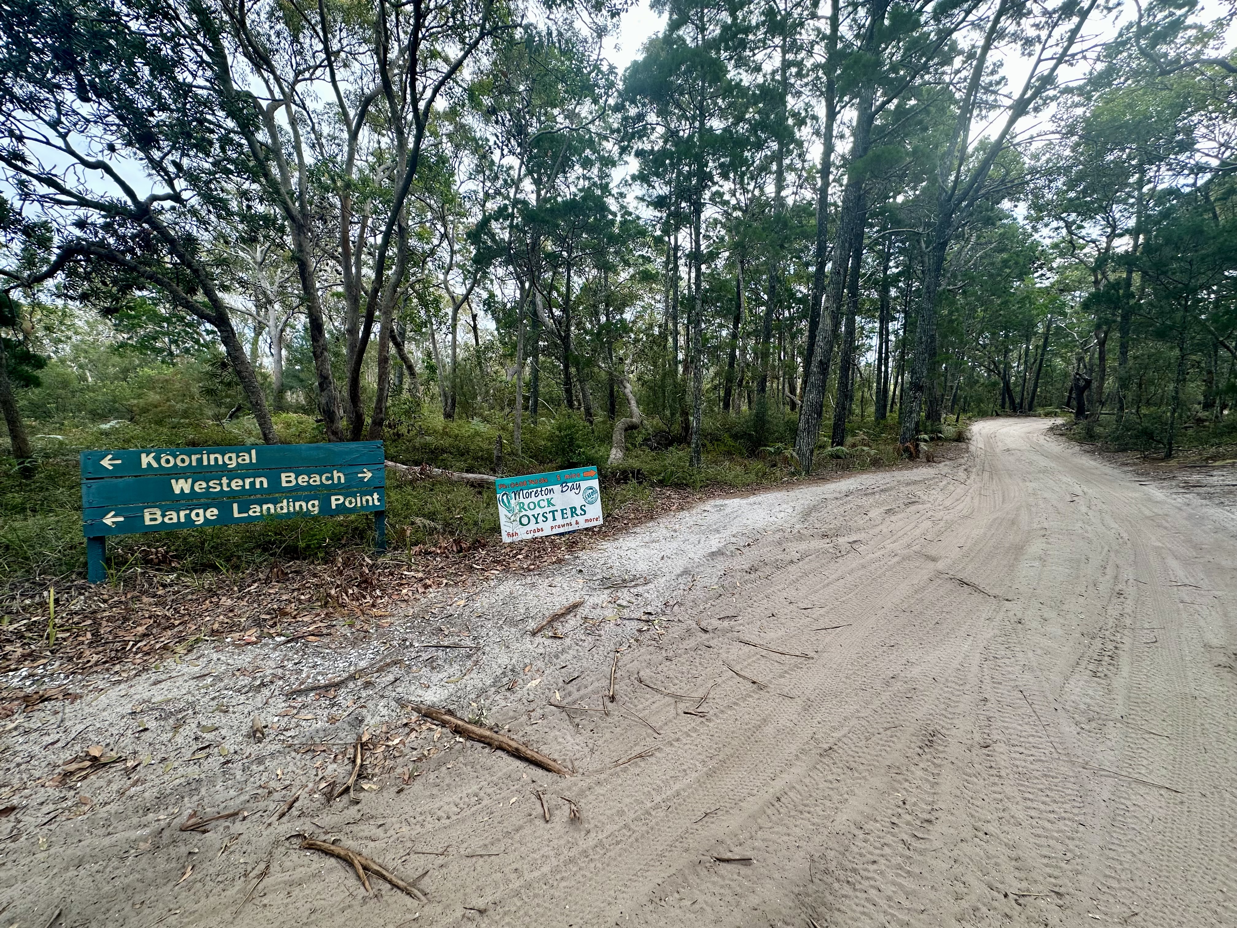
Approaching the southern end of the island (as North Stradbroke island comes into view) the surf drops off. This area is also one that might be challenging to cycle at high tide – there are a number of different ways to pop off the beach onto Reeders Point Road to get to Kooringal.
South West Coast


After a stop off in Kooringal, the cycle to Tangalooma and the Wrecks is the most difficult part of the island loop: this is mainly due to areas of loose sand to traverse around “Little Sandhills”, passing mangroves on the south west of the island. Eventually the beach opens up again near the “Big Sandhills” – about 7km north of Kooringal. Another potential challenge is at Tangalooma, namely the wharf. Thankfully at lower tide levels it is possible to cycle under it.


Heading back to North Point
After passing Tangalooma Resort the rest of the ride covers the same route to North Point as covered previously, with the added disadvantage of higher tides and strong head wind.
Back to The Wrecks, inland route
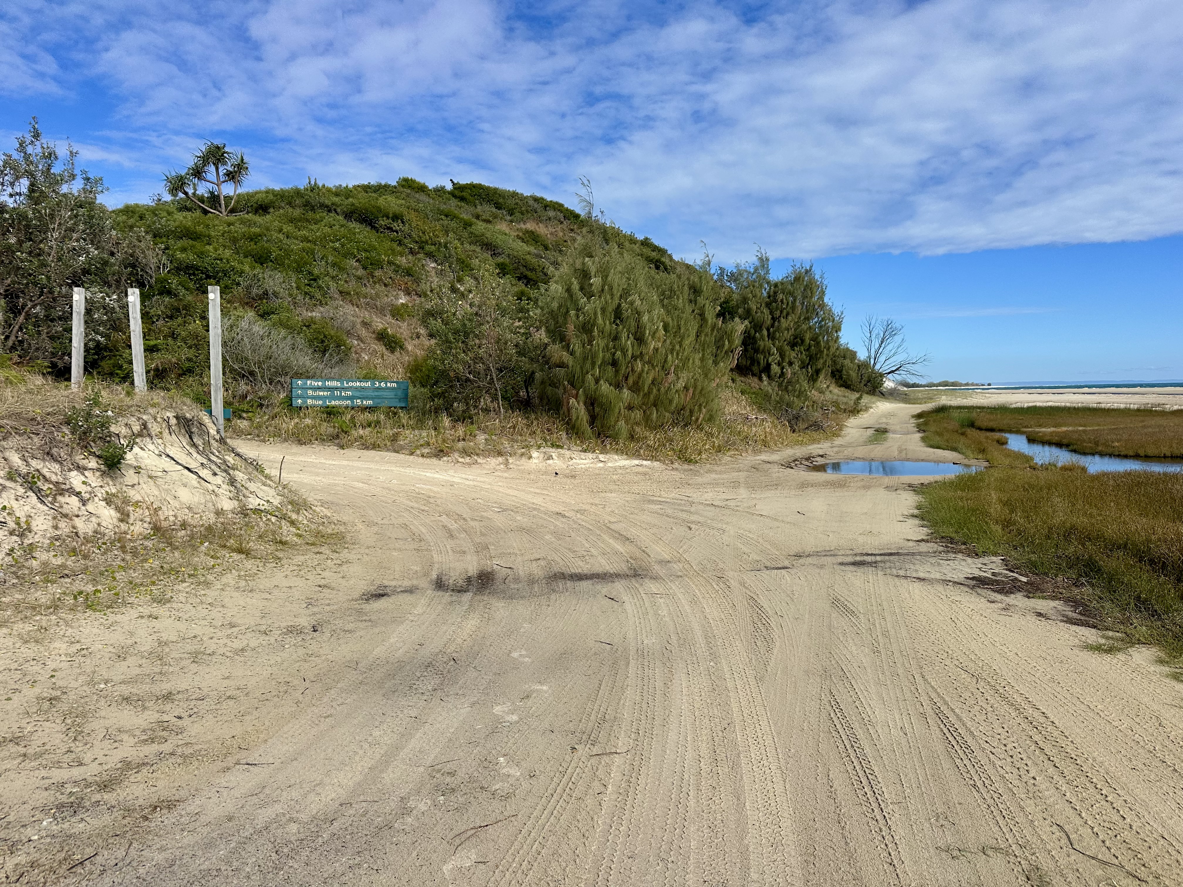


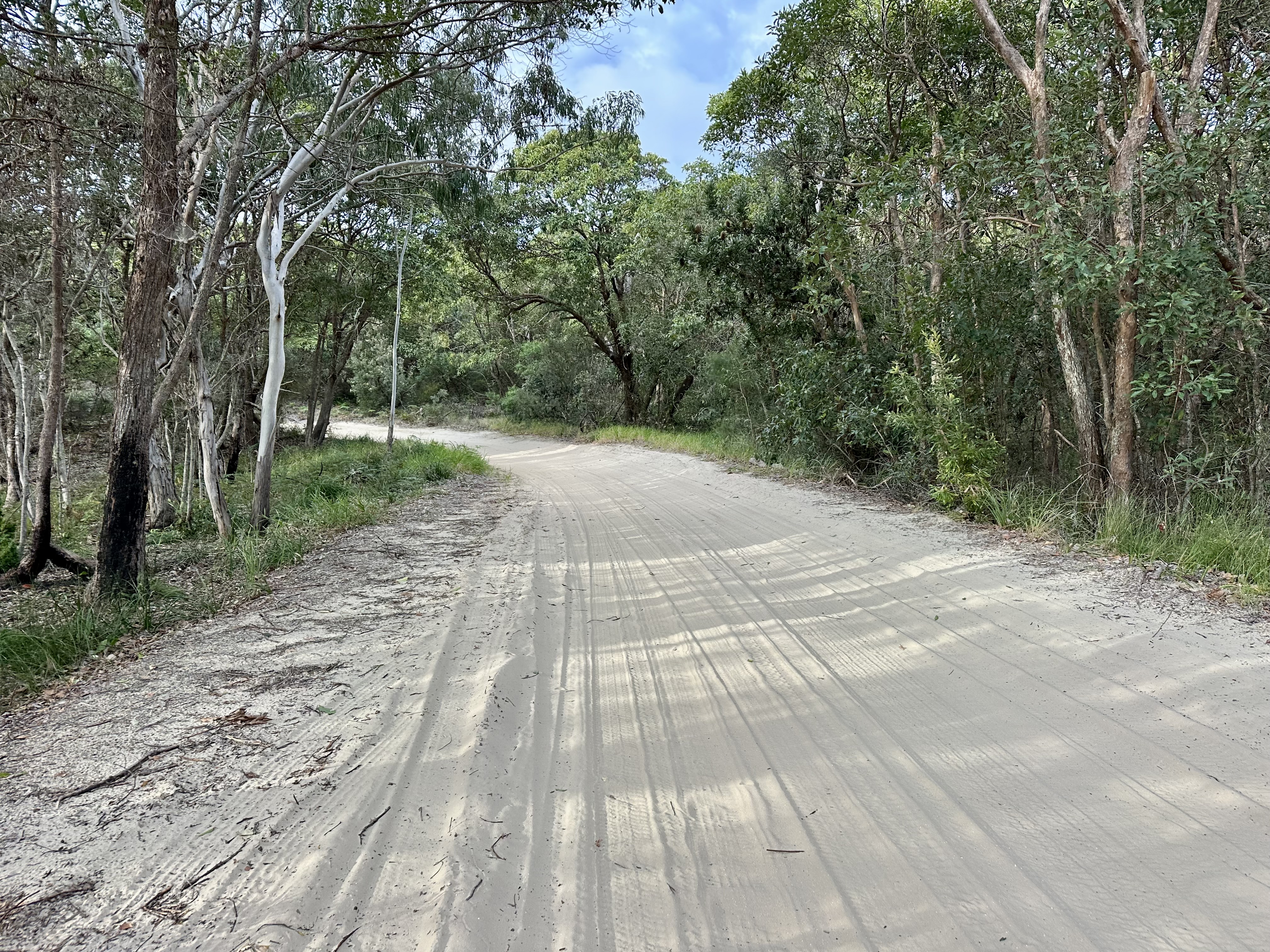
Heading to the Wrecks at relatively high tide, and also keen to explore more of the island, I chose to take the Bulwer – North Point Road. I was a little apprehensive about how challenging this would be with a fully loaded bike.
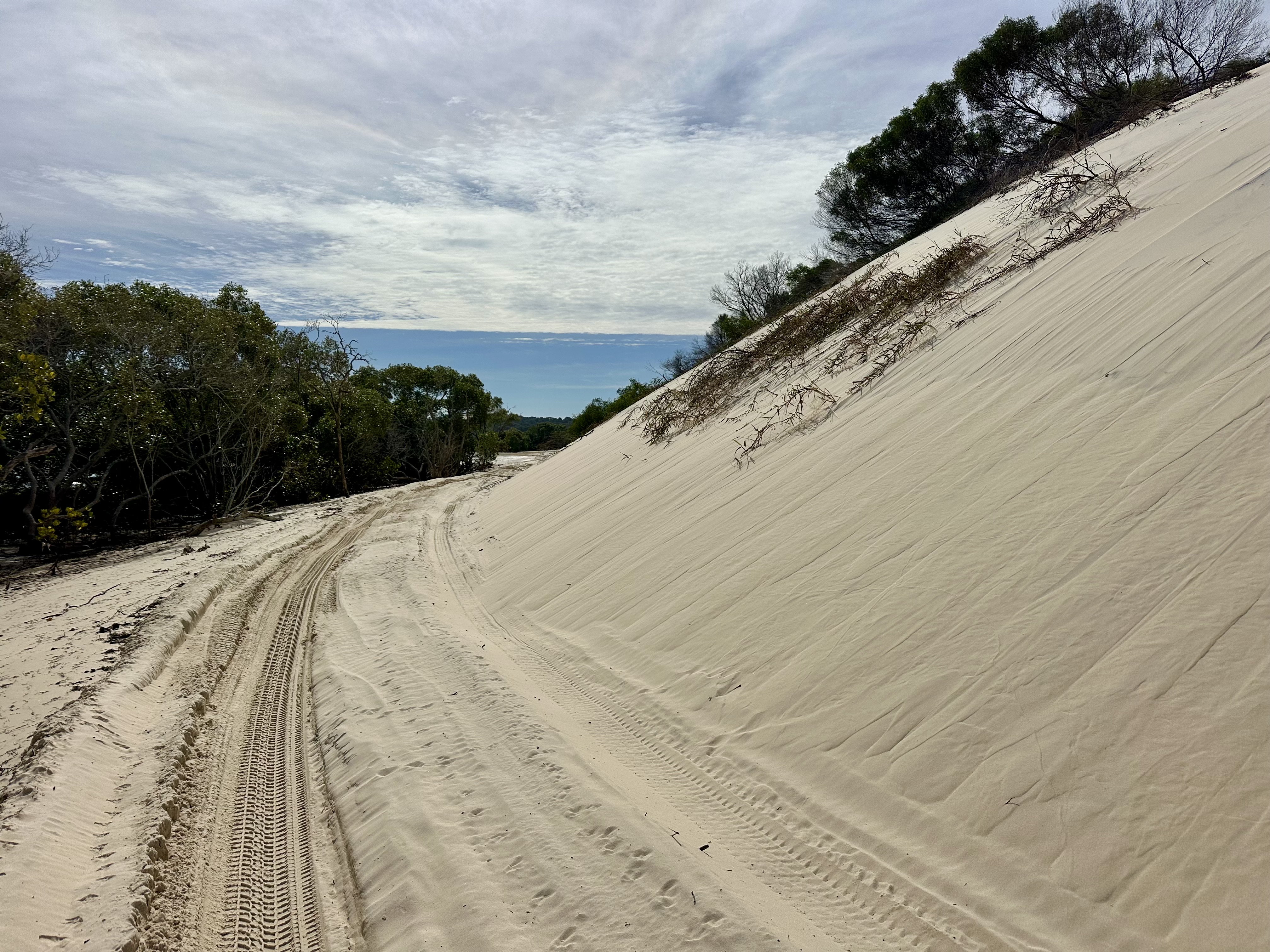
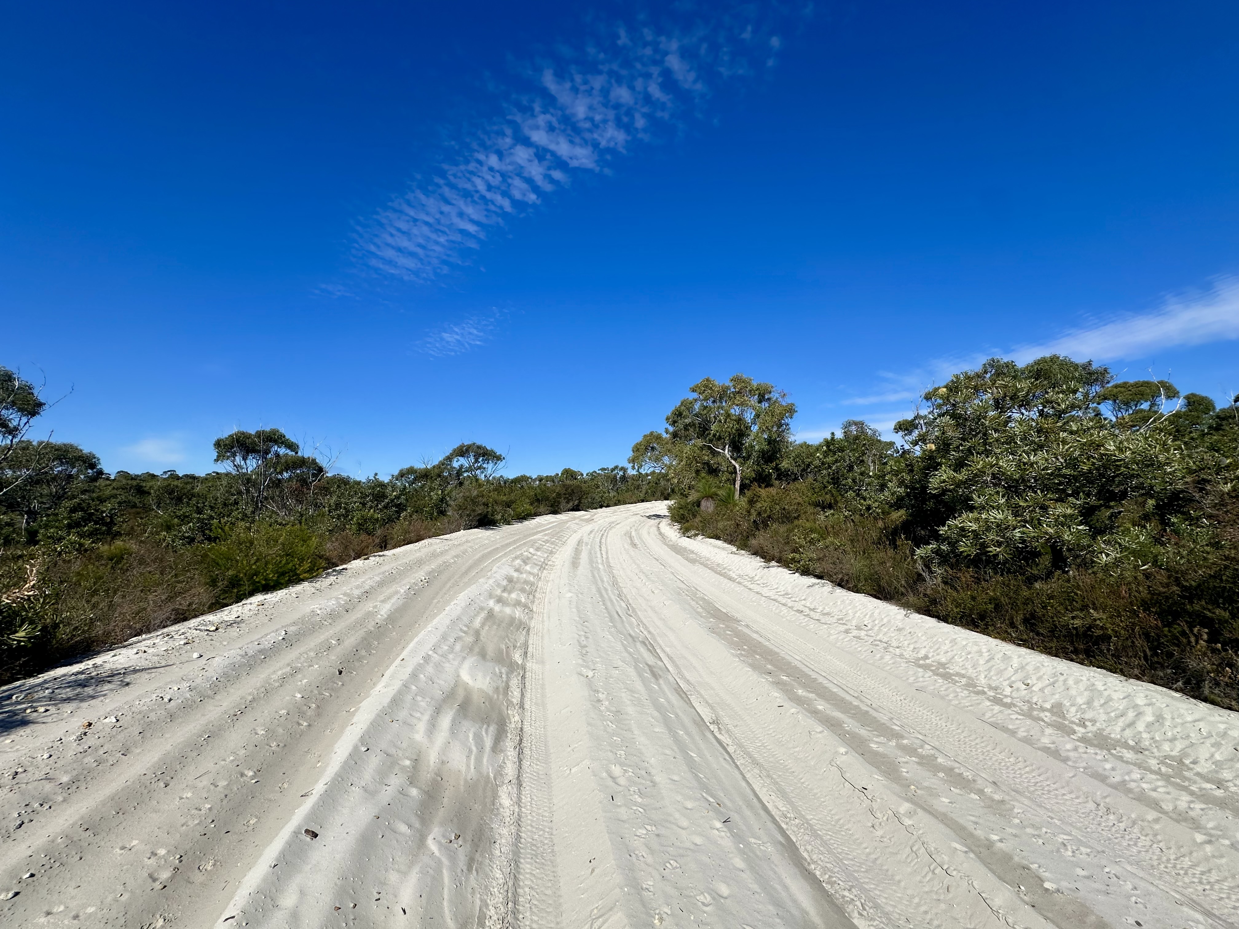
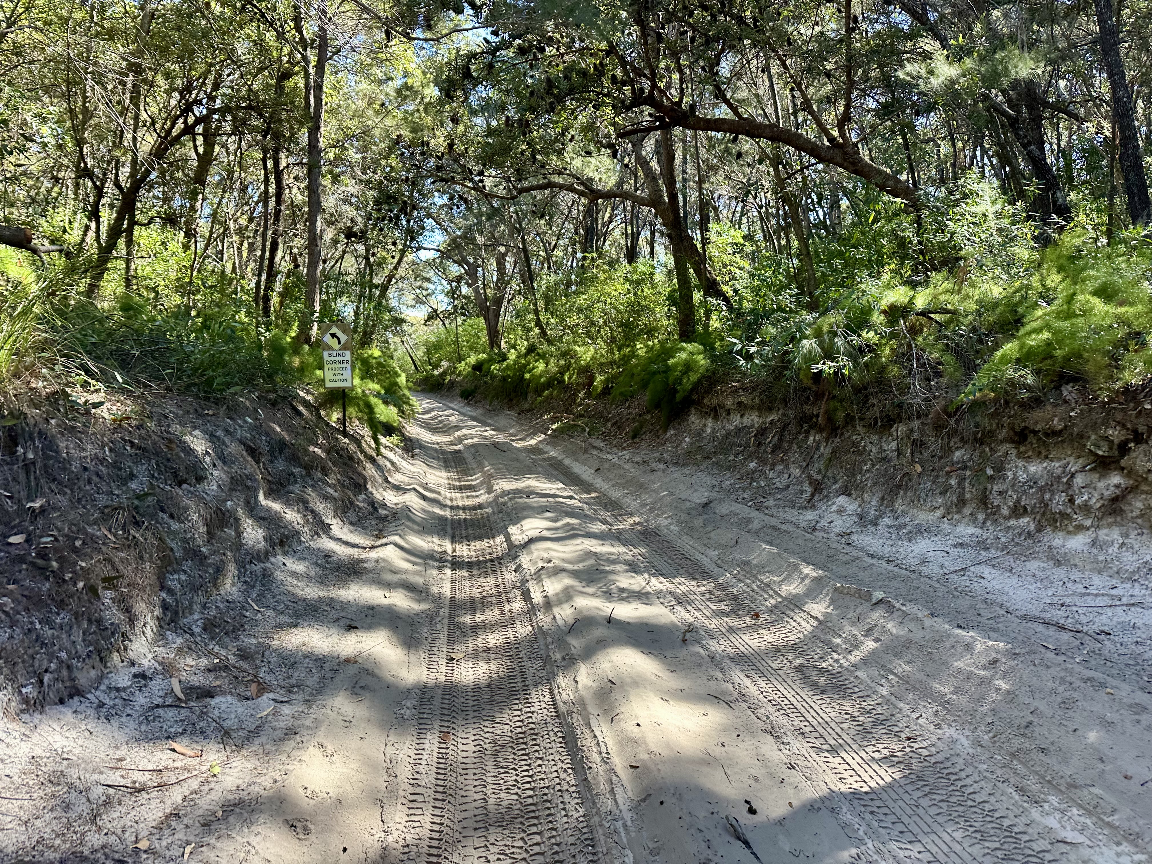
The trail has a mix of firmer and softer sand sections, including some parts that are deeply rutted. There were also occasionally short sections of hike-a-bike: where the soft and rutted sand coincided with an ascent. It was also sometimes a challenge to restart cycling, for example when making way for a four wheel drive (not super common, and they also at times were challenged by the deep sand).


It is worth a stop and walk up to the Five Hills Lookout – with views to the coast and also inland to see both where you’ve travelled and where you still need to go. Some soft sections continue after the lookout but at the intersection with Bulwer – Blue Lagoon Road the surface becomes firmer. This is great as the road also has a downhill gradient which facilitates swifter travel through to Bulwer.

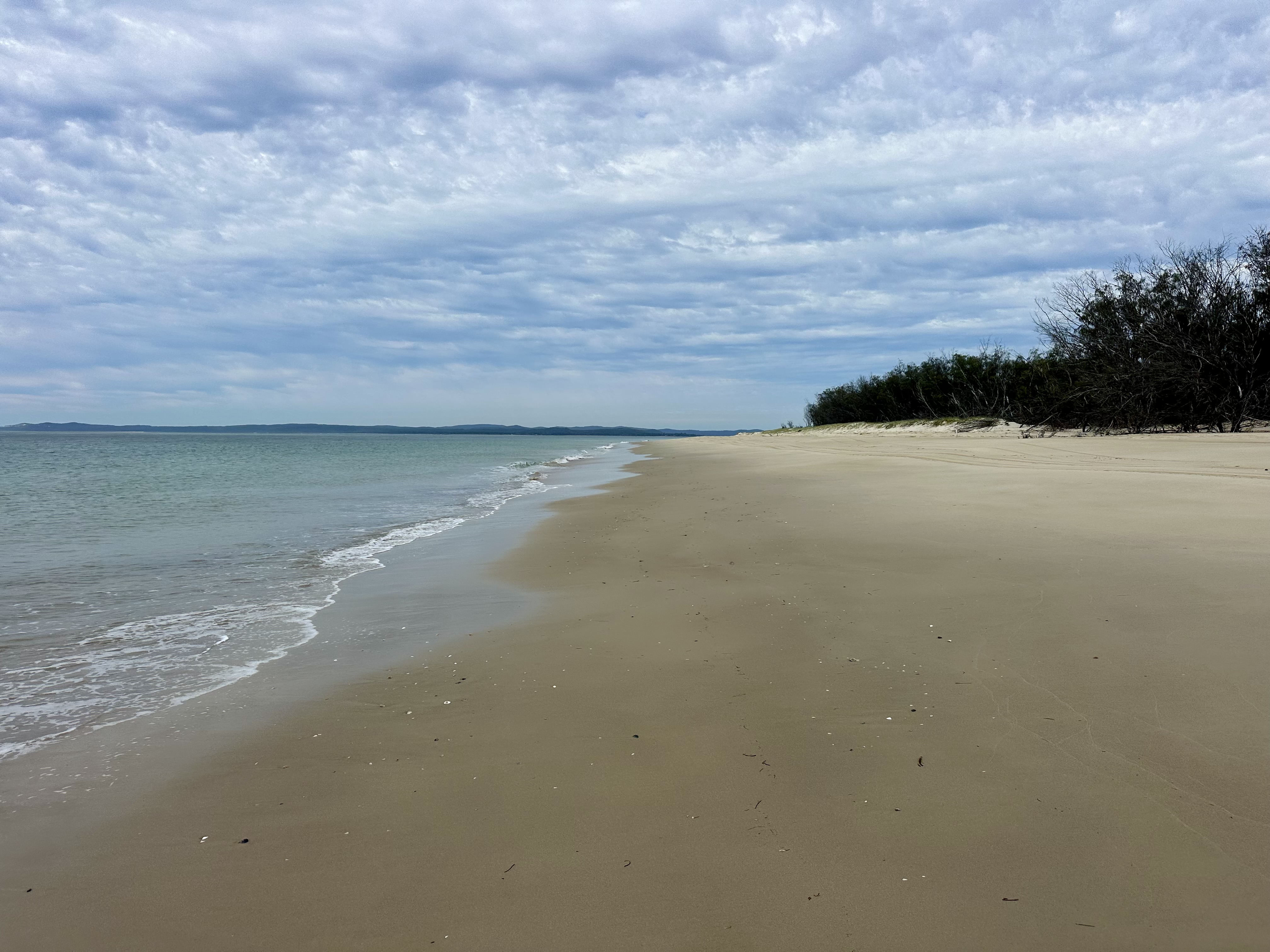
After Bulwer it is time to return to the beach and that epic colour palette between beach and sea.

On Island Dining

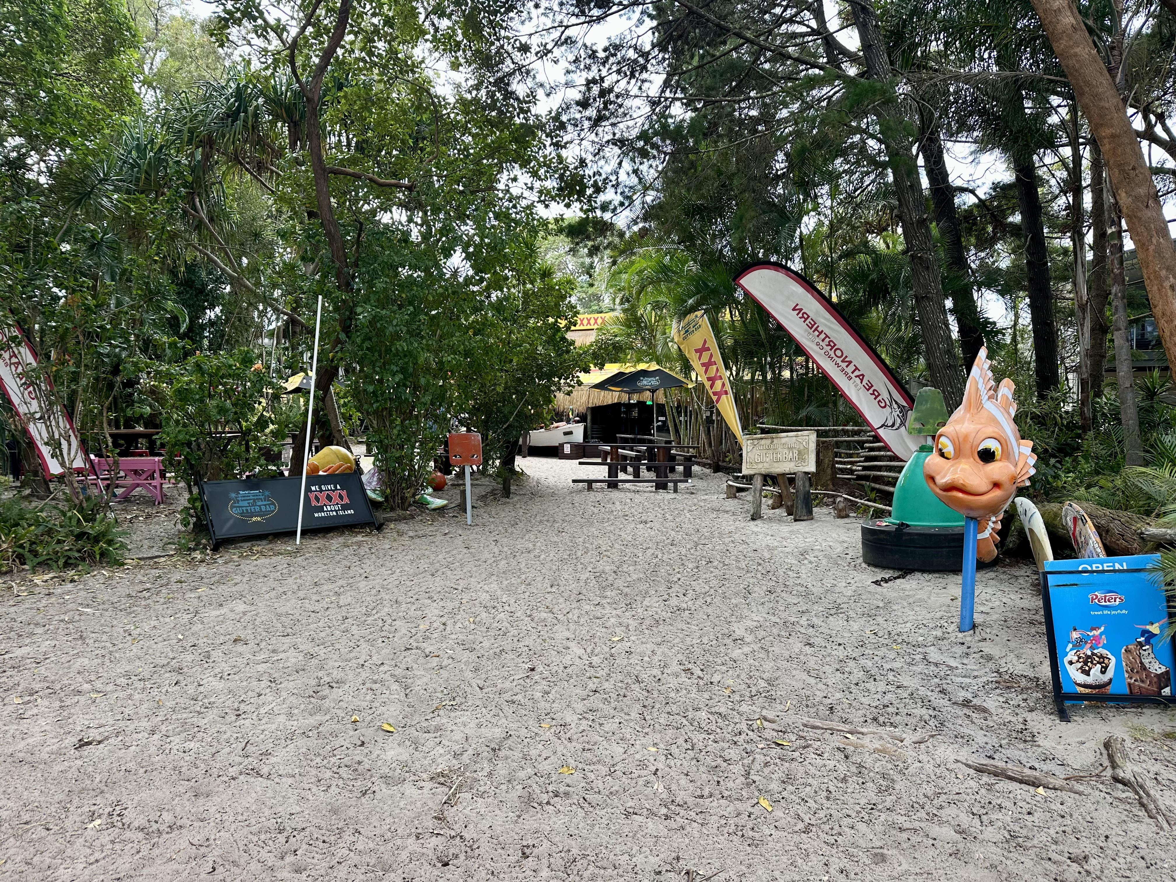
If you travel to places with atypical transport costs and a tourist focus you can get a bit used to prices not quite matching value. It is true that things like drinks and grocery items on Moreton Island are expensive. Pleasingly, however, this was not the case for prepared food – which was very nice at both Castaways (Bulwer) and the Gutter Bar (Kooringal). I enjoyed both of these locations and would not hesitate to recommend them for a meal. I did not visit Tangalooma Resort while on Moreton, which is another option for meals.
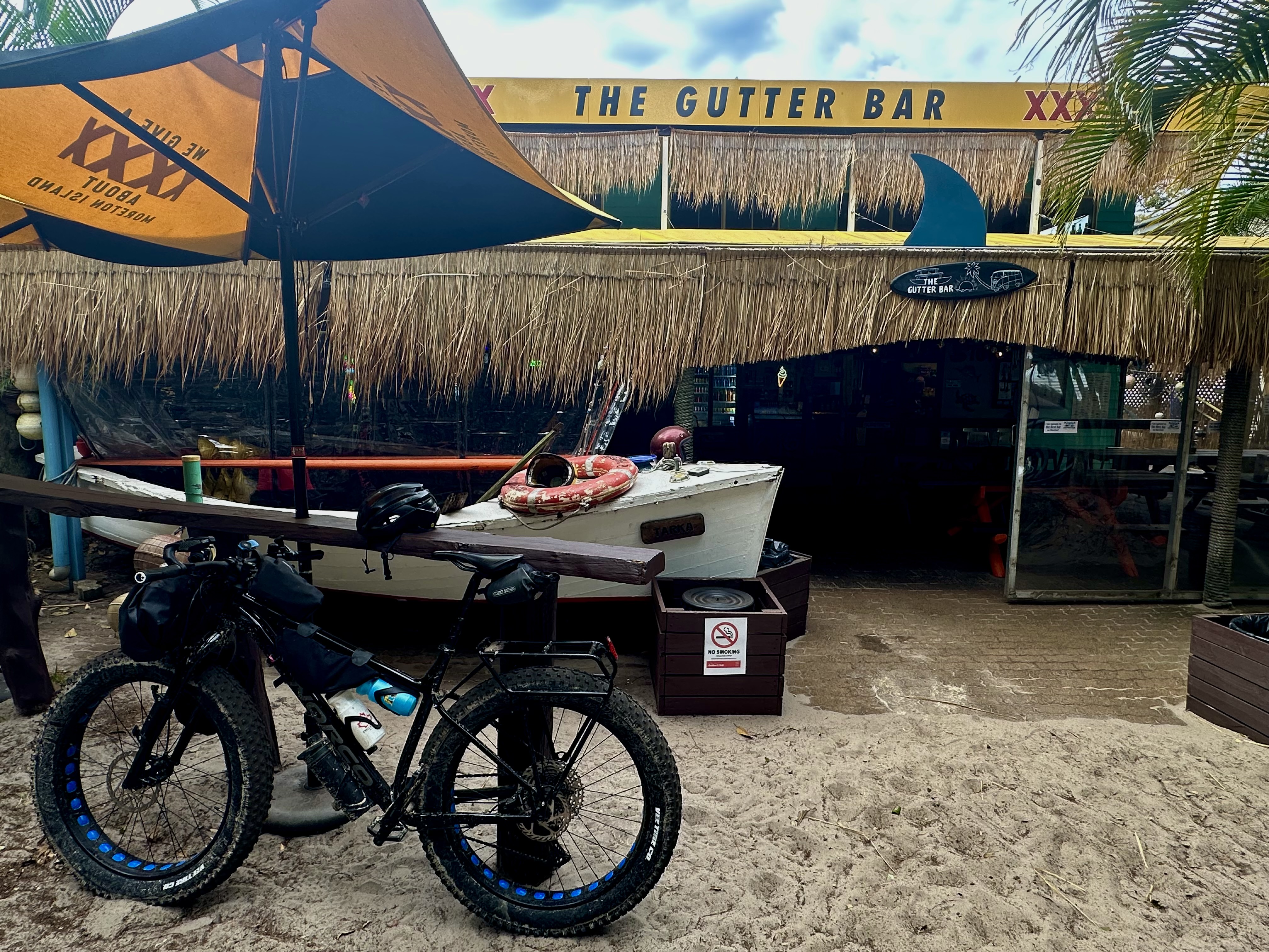
I would have loved to have visited Moreton Bay Rock Oysters, but they were closed for the winter season! They are not far from Kooringal.

Final thoughts


It is hard not to like Moreton Island, particularly given it is a great escape right next to one of Australia’s largest cities. This was also my first fat bike camping trip, so to make it all work (including on some pretty soft sand tracks) was fantastic.
If you are apprehensive about cycling on the island with the 4WDs also there – don’t be. I didn’t travel on Middle Track (which I imagine could be annoying), but on the beaches they gave a wide berth and on tracks were very considerate. It just wasn’t an issue. In fact, my experience is that folks in 4WDs often offered encouragement, thumbs up, and generally were interested in the bike setup. If only that was a typical experience when cycling elsewhere….