
Attack of the Buns (AOTB) is an iconic Australian ride, a route that CyclingGravel can take no credit for. If you aren’t familiar with this route or have not considered it before, please take the time to read Adam Lee’s original here.
Being Canberra-based, CyclingGravel and a mate were keen but needed to consider whether it was possible to modify the route to depart from (and return to) our home town. We had four days, it was mid-winter solstice, and camping was therefore not preferred. Having previously cycled parts of the route (see, for example Braidwood Gravel and Bikepacking to Nowra) I had some idea of what was in store.
In short, adopting a clockwise route, we chose to curtail some of the off-road parts due to cold and trail conditions. But even with some changes, this makes for a fantastic trip.
Day 1: Canberra – Bundanoon
Day 1 is very much not part of the AOTB route, but was designed to allow the return trip to Canberra. While we made sure to travel through the first “Bun” (Bungendore, for a bacon & egg roll with coffee breakfast fuel-up at The Gathering), it is only at Tarago that the route becomes something worthy of the rest of the route. Why? Bungendore Road is the least enjoyable part due to the truck traffic. At least the sun came through approaching town.


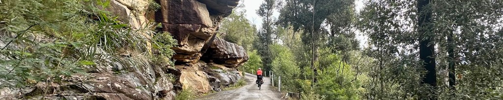
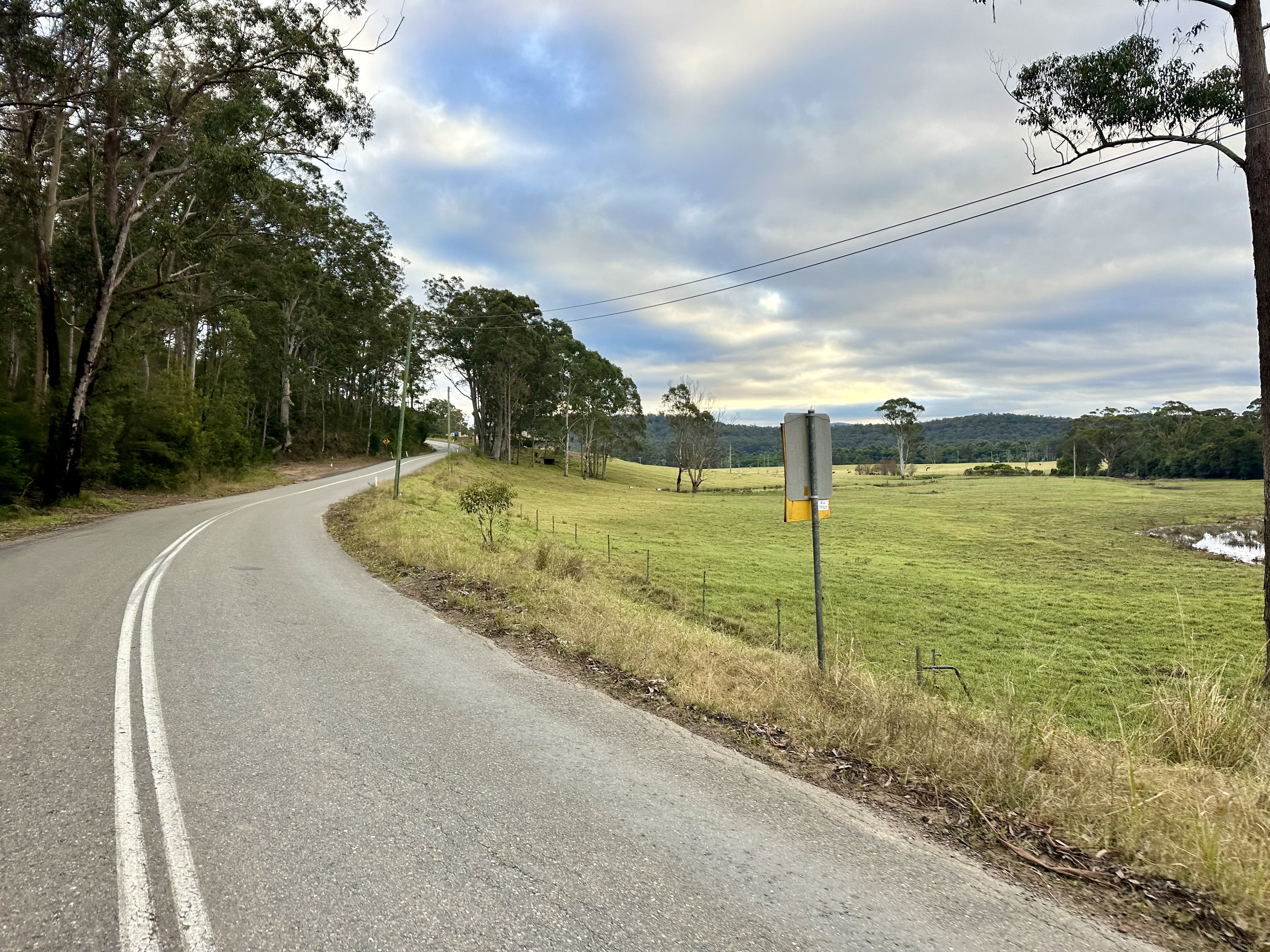
Things become super nice after Tarago. Lumley Road is a delightful gravel road – one I’ve written about before. Photos don’t really do it justice – even the sealed section on the approach to Bungonia is a lovely ride (albeit on this occasion including stray ewes and lambs).


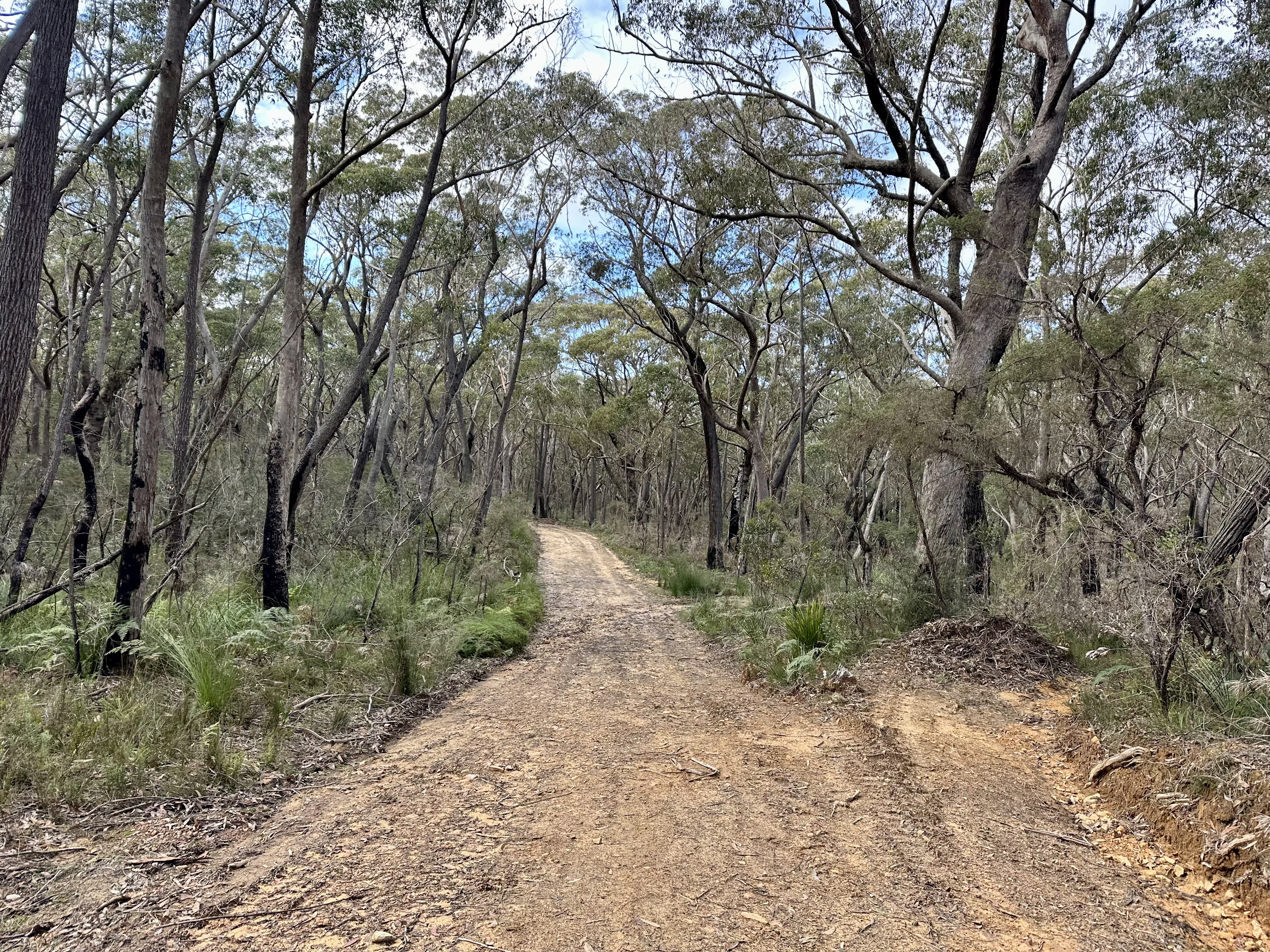
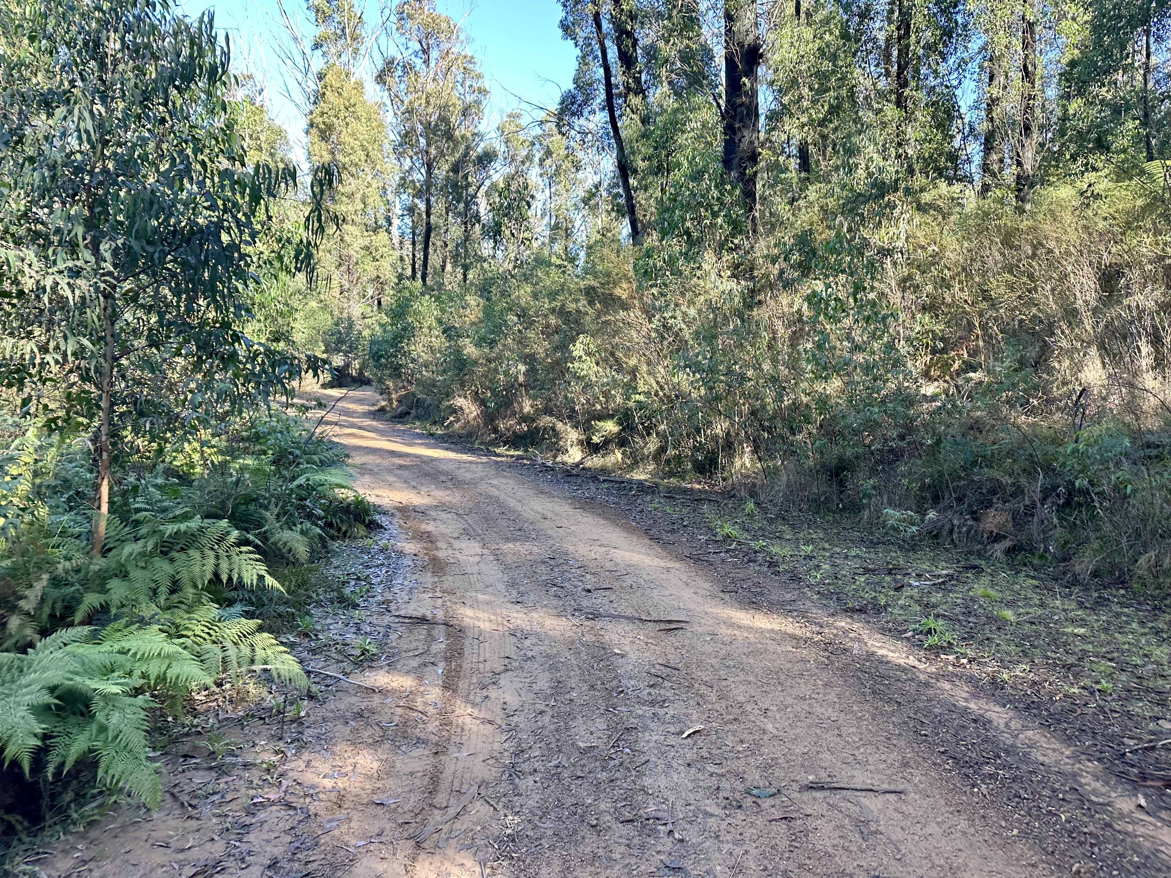
The other part of the route that is good fun is the gravel back road between Tallong and Penrose. The Highland Way is not a terrible route to cycle, but the alternative gravel option is great. Just be aware that after a lot of rain it could be quite challenging – due to water crossings and close-by swampy areas.
Day 2: Bundanoon – Nowra


Starting the day in Bundanoon, we made a minor detour to the Exeter General Store for an excellent breakfast. From here the “official” AOTB route really started with the connection to Meryla Road.


While Meryla Road progresses from a sealed to unsealed surface, Gunrock Creek Fire Trail is the start of more adventurous trails. And by adventurous I mean parts of rocky steep hike-a-bike at the start of the trail. It seems that it might be worth starting the fire trail by continuing a bit further down Meryla Road to the Link Firetrail – this seems maintained and well travelled on the connection to the Gunrock Creek Fire Trail (as opposed to the hiker or cyclist only option at the start).


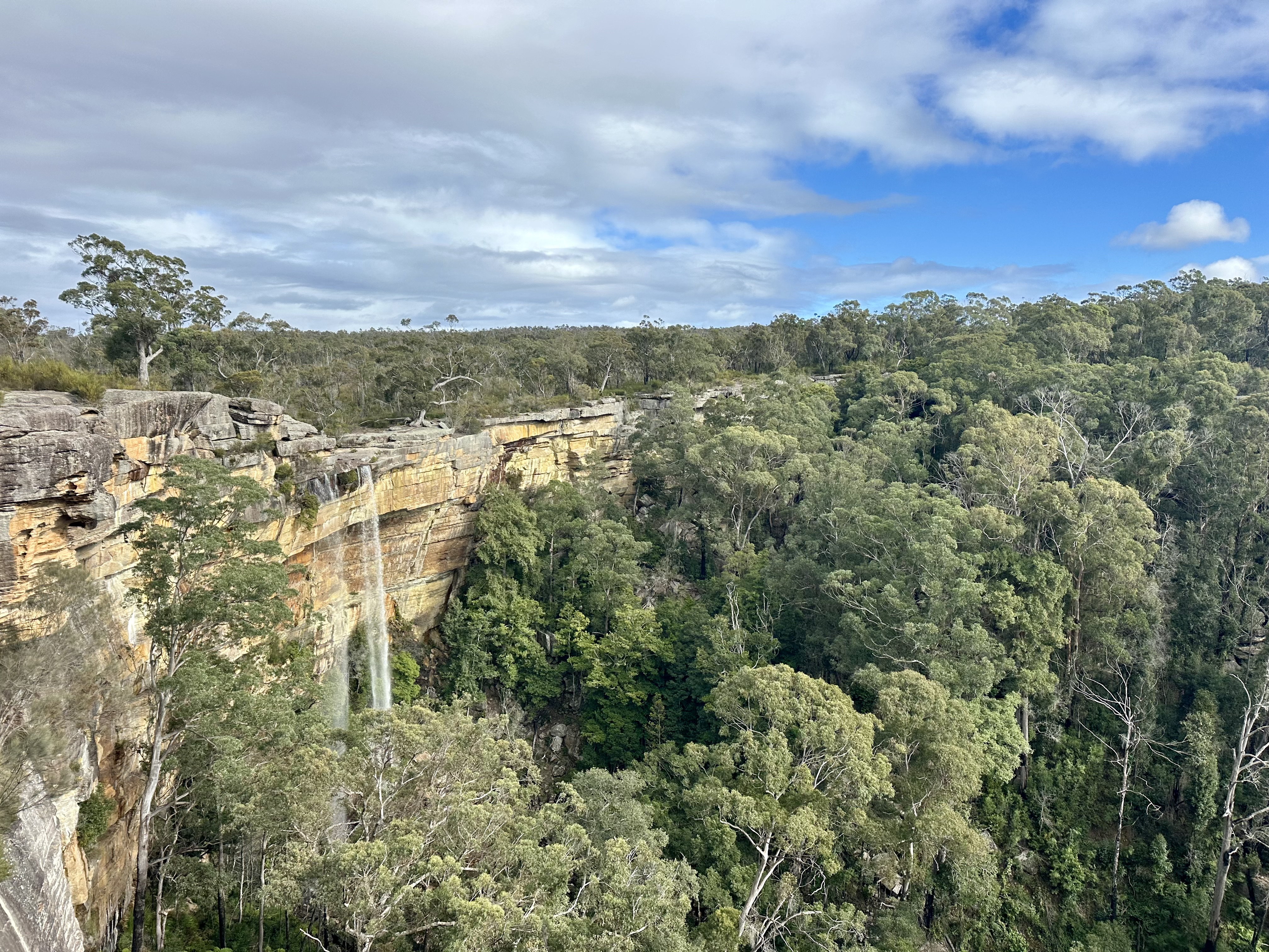
Gunrock Creek Fire Trail is not easy work, nor is Red Hills Fire Trail that takes you through to the epic Fitzroy Falls. Mid-winter it was damp and muddy in places, adding to the challenge of cycling on trails that in some cases are not well maintained. Based on progress being made, after a warm-up coffee at the Fitzroy Falls visitor centre we chose to cycle down the main Moss Vale Road to Kangaroo Valley. If you are faced with this choice, don’t worry too much – it is a really fun descent and while the road is well used, the traffic was not a source of significant concern mid-day on a Friday.

After lunch in Kangaroo Valley we returned to the AOTB route: the backroads to Nowra are really nice – well maintained gravel roads that are a pleasure to ride. Mount Scanzi is a steep climb, but it and Bugong Road offer some fantastic escarpment views.

Day 3: Nowra – Nerriga


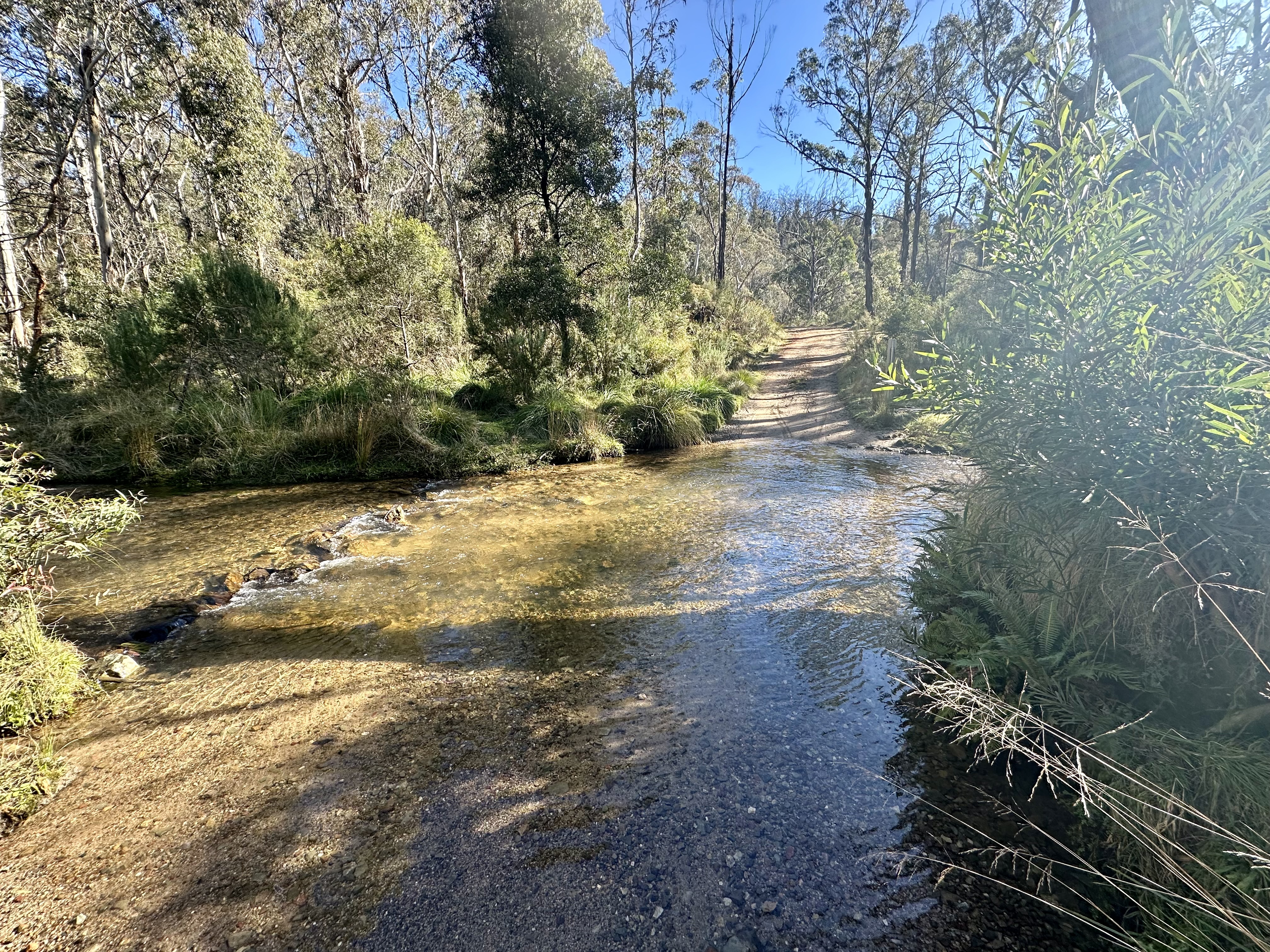
The back roads between Nowra and Tianjara Falls are one of the highlights of the AOTB route. Starting on Yalwal Road, the route has a combination of farmland, forest and valley views. The descent to Yalwal creek is epic, although immediately followed by a steep climb beside the dam.
At the end of Yalwal Road the trail immediately is signposted as “not maintained by the council”. Or anyone really. This is where Yarramunmun Fire Trail starts, and quickly becomes almost 2km of steep hike-a-bike, interspersed with muddy sections.


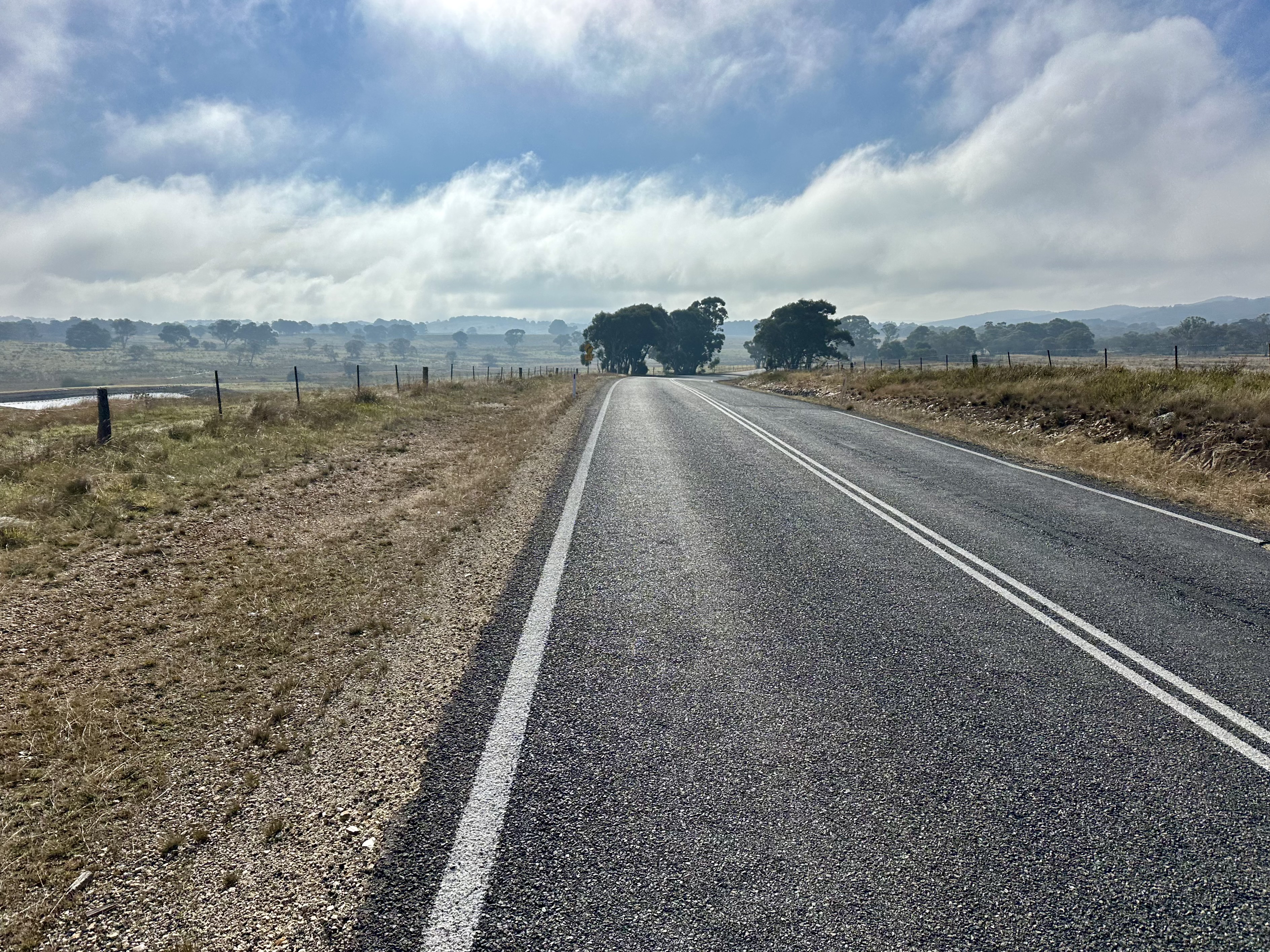
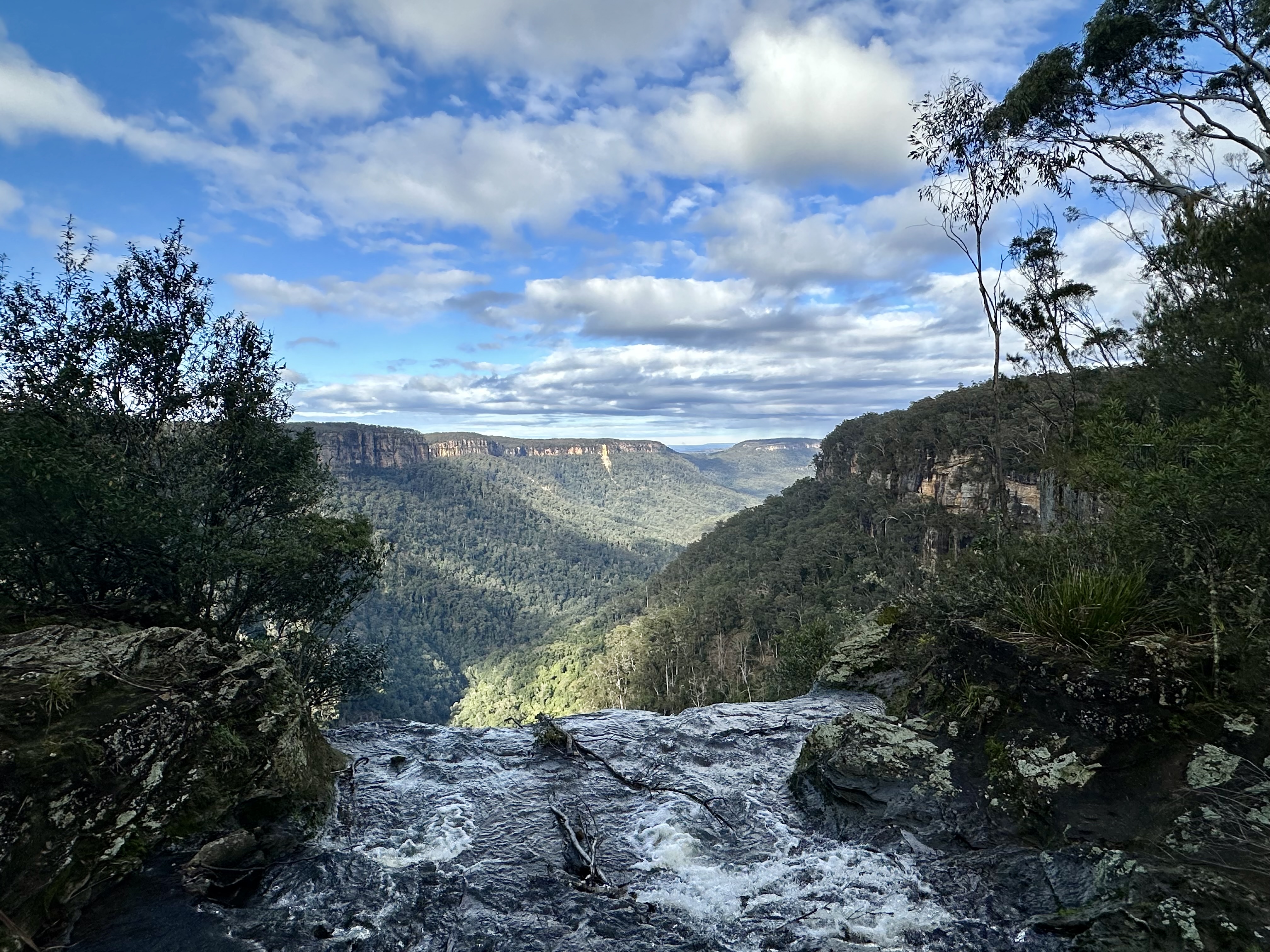
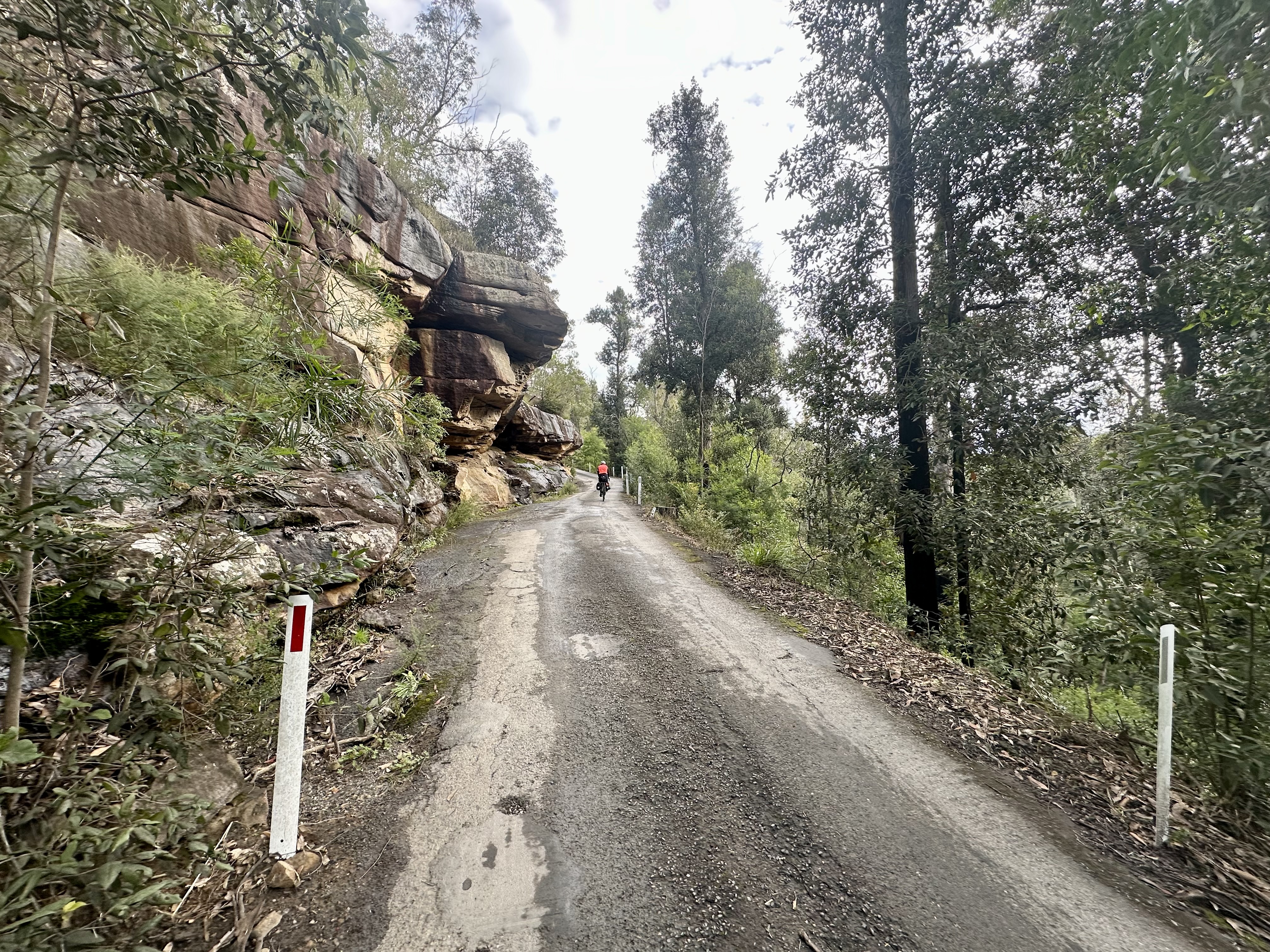
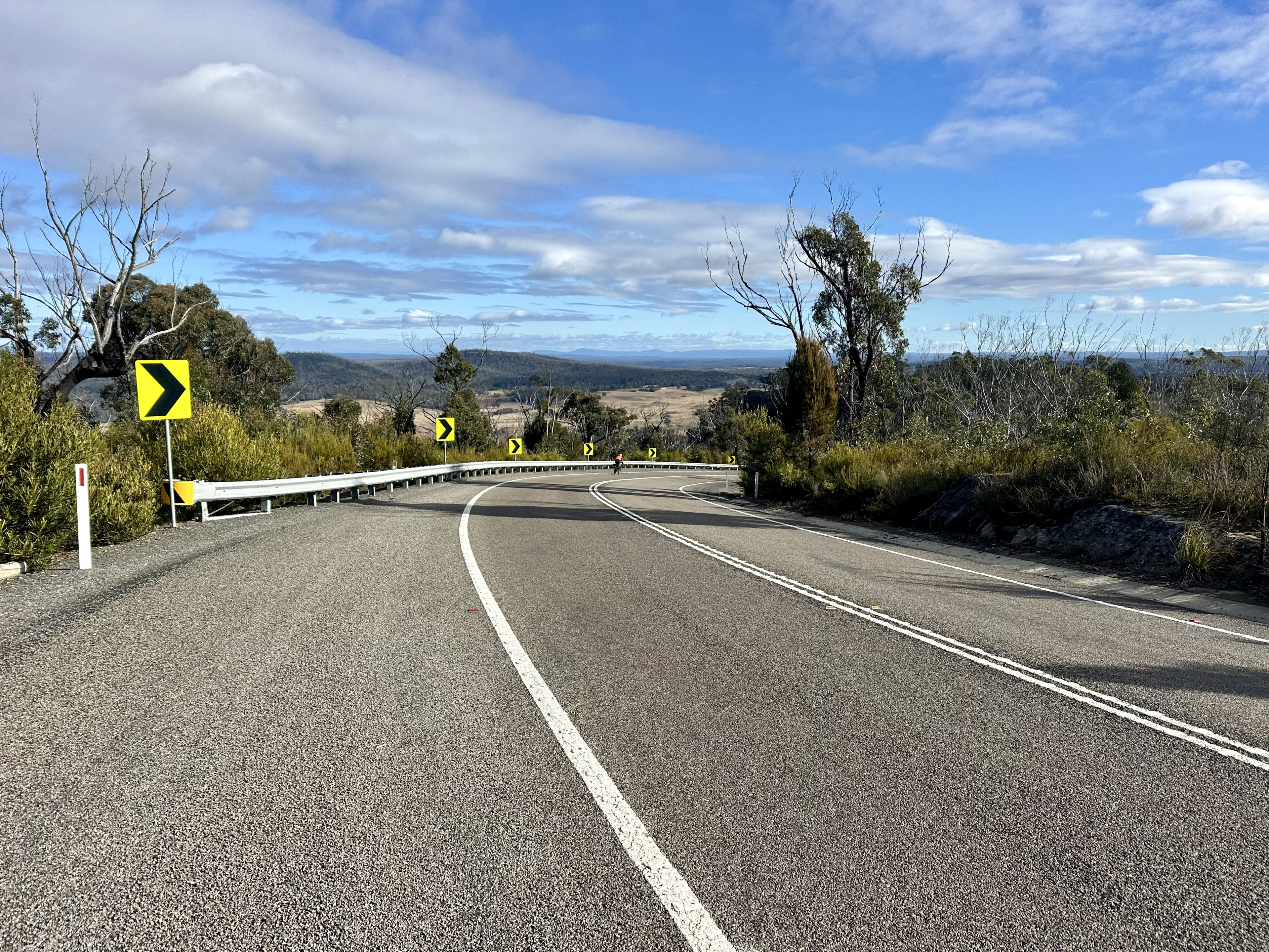
At the top, however, the Fire Trail becomes a well maintained track where it is possible to maintain a decent pace despite the gradual climb. Exposed to winds as it runs across ridges for around 24km, the trail is almost backroad quality, including rocky in-fill in places where water might flow. Super nice, it comes to an end at the main road that is Braidwood Road.
After a lunch stop at Tianjara Falls, the cycle towards Nerriga is on the main road. On a Saturday afternoon there was regular but not constant traffic – a reasonably ok ride (I’ve cycled this road in the opposite direction before). Similar to the previous day, we decided to pass on the last part of AOTB and instead continue straight to Nerriga due to the cold and wind, despite the sunshine! I’ve read that what we missed down Endrick River Fire Trail is some of the most scenic parts of the route – something to return to in warmer weather! A seat by the fireplace at Nerriga Hotel was a welcome end to the day.
Day 4: Nerriga – Canberra


Starting off from Nerriga, AOTB follows the main Braidwood Road for 16km before the turnoff onto Charleys Forest Road. Early on a Sunday morning traffic was not a problem.
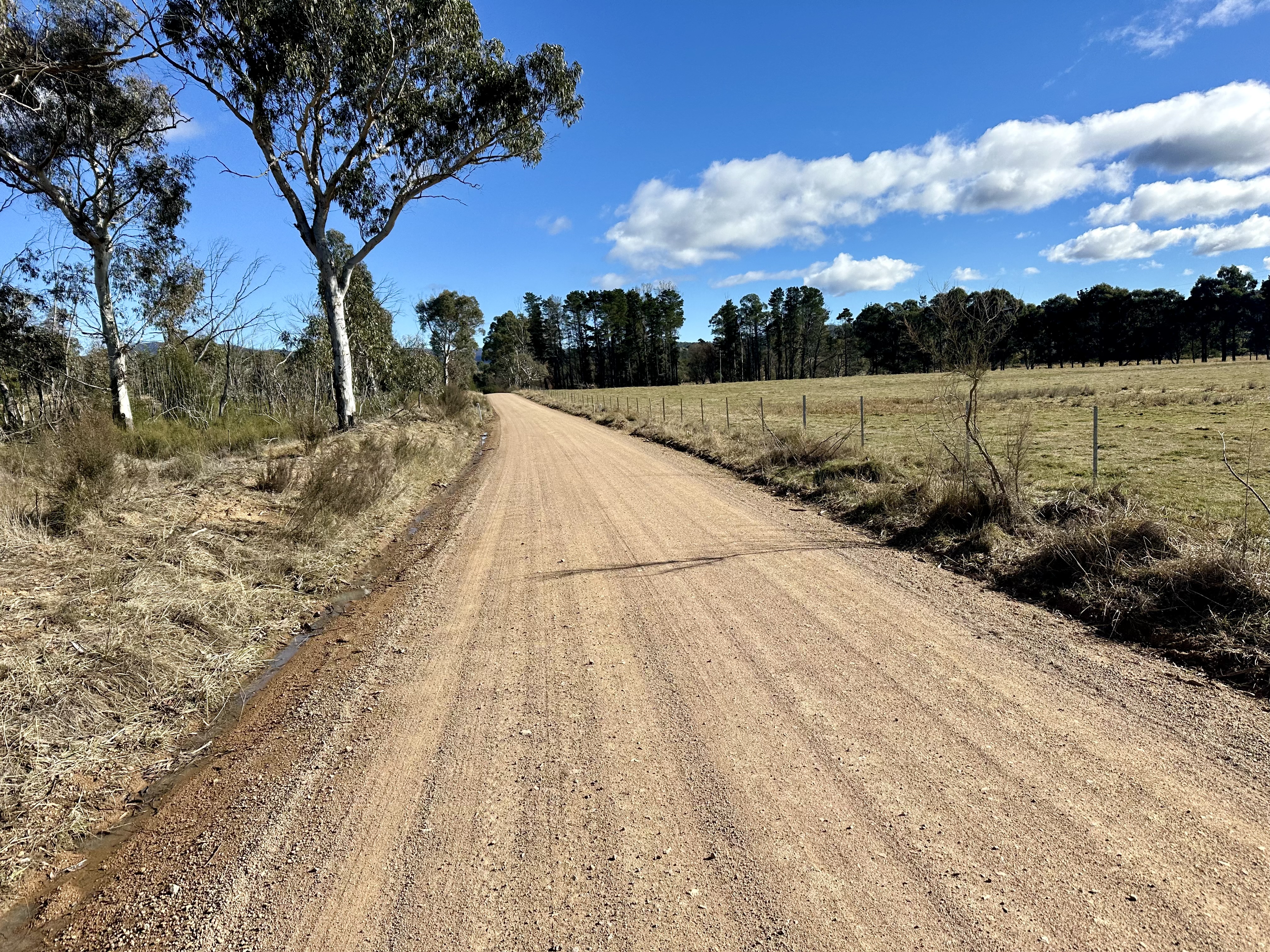
Charleys Forest Road is surprisingly hard work. All the way through to Mongarlowe the road climbs up and down, up and down. Nothing steep but with little punchy climbs followed by a descent to a creek crossing. On repeat. The scenery is nice, and the road in good condition, but it does take longer to ride than the net elevation changes might make you think.


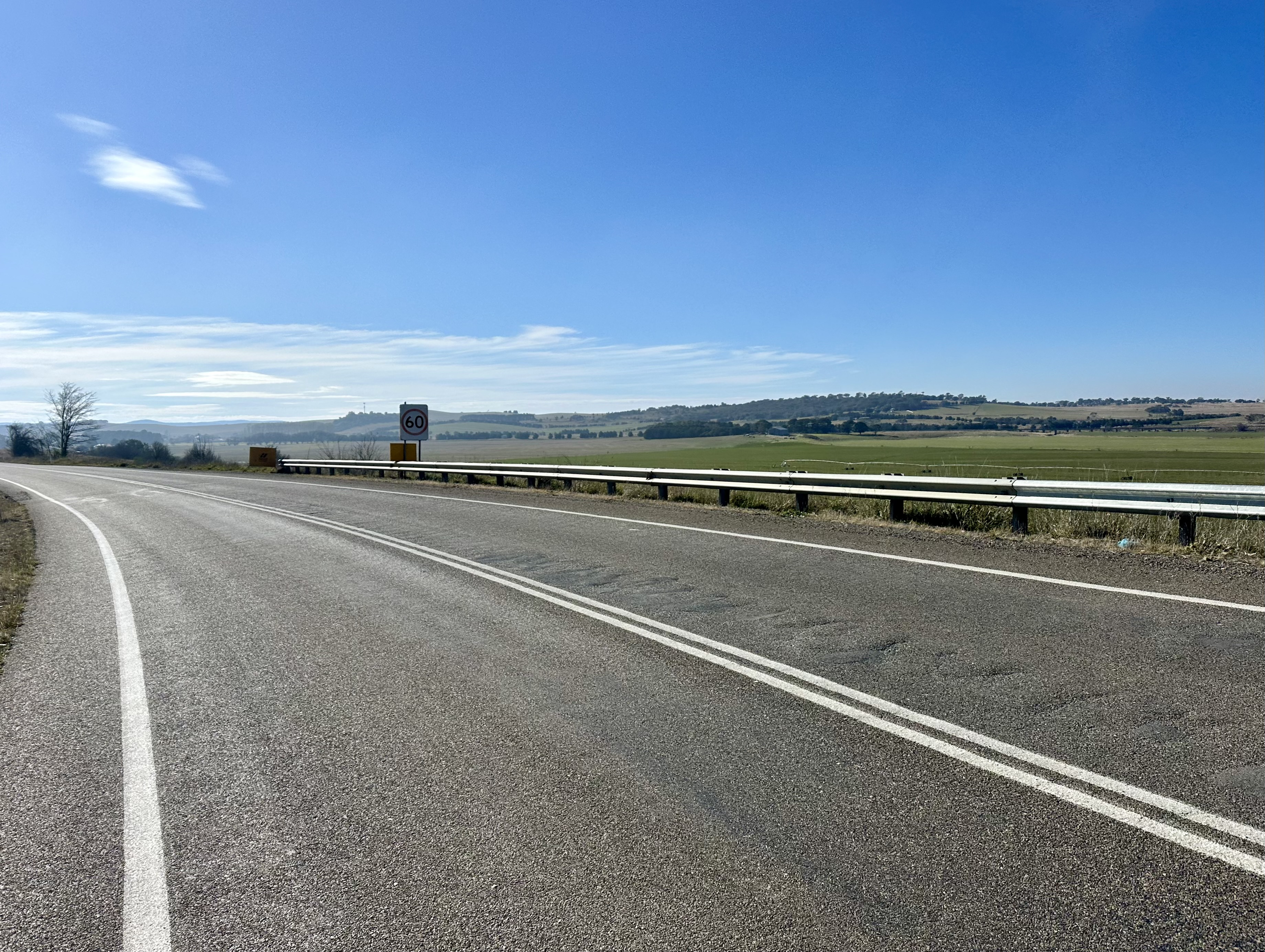
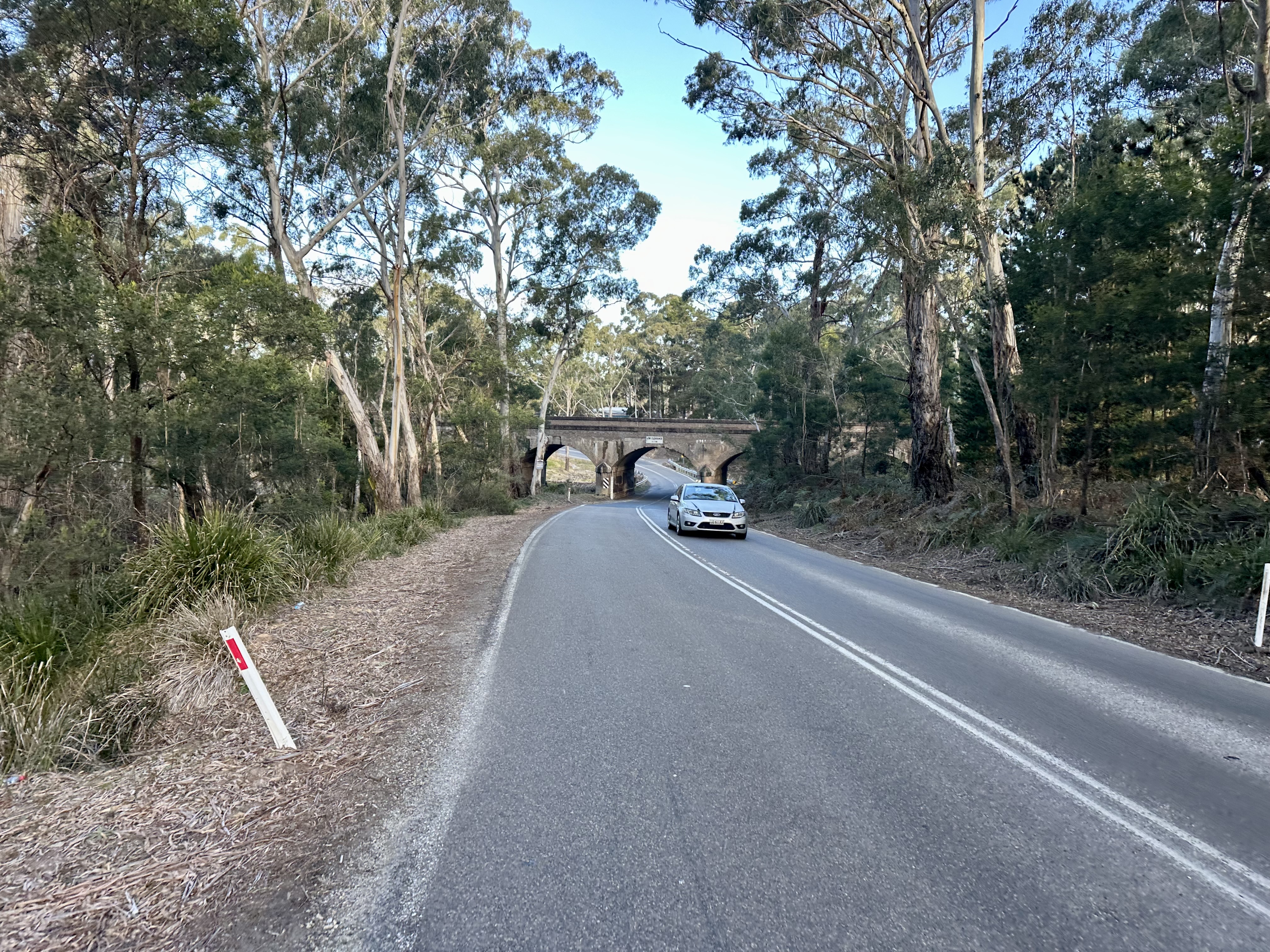
After Mongarlowe, Little River Road is sealed and after another climb it is a long, swift (and pretty straight) roll into Braidwood for some caffeine and calories.
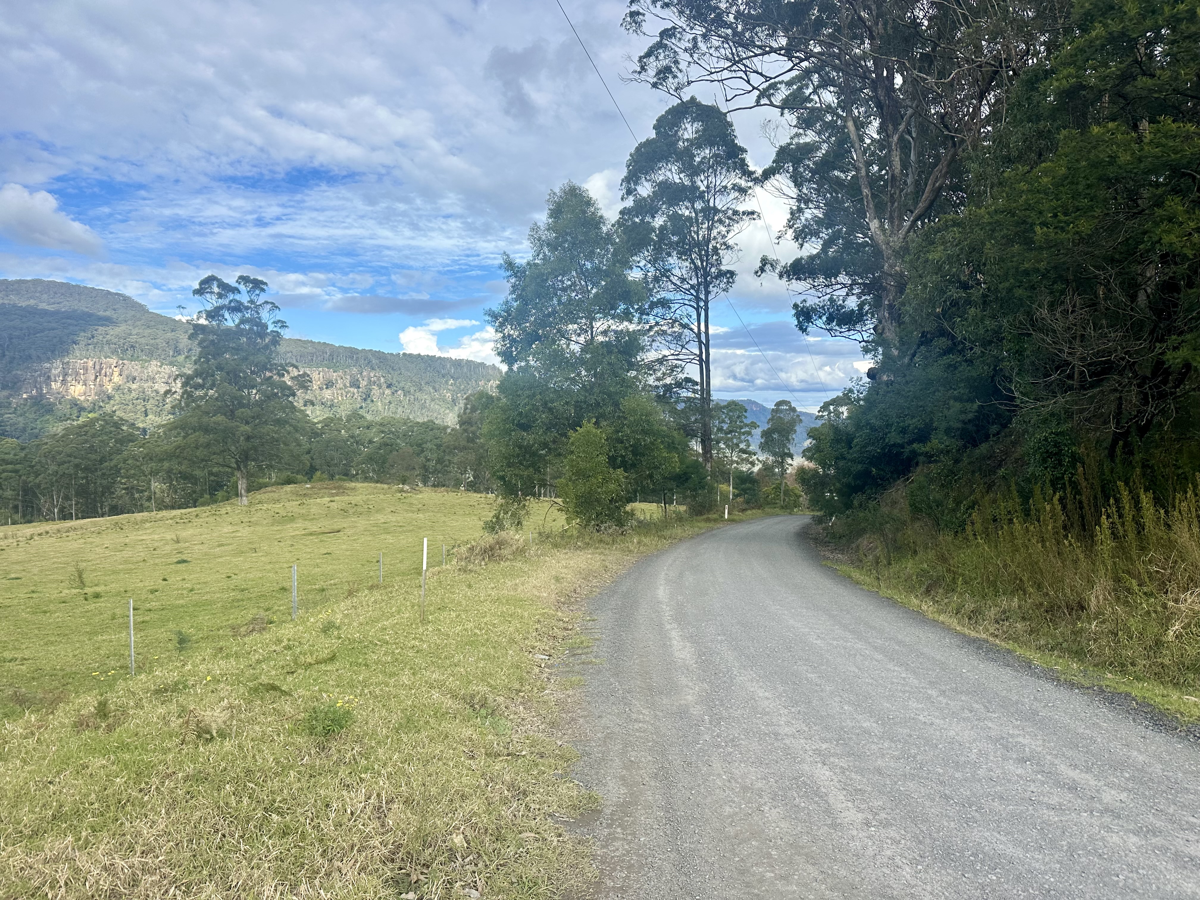
The backroad route from Braidwood to Hoskinstown is one of CyclingGravel’s favourite routes in the Canberra region. Driveable in a normal car (although the creek crossing might not be) you won’t see much traffic although there usually is a family or two at the Mulloon Creek campground. Offering fantastic views through the Tallaganda National Park, the route is generally well maintained, but does involve some climbing – including after the tiny Forbes Creek. The only regrettable part of the route is that after the floodplains around Hoskinstown, the final leg to Canberra follows Captains Flat Road. If following the official AOTB route back to Bungendore, you don’t have to do that!

Tips, recommendations, and things I’d change
The first thing I’d change is going in warmer months, preferably after some dry weather. This would make a real difference to the trails, and also the speed at which some parts of the route can be travelled. Having said that, what our route shows is that if you head out and the weather turns on you there are some adjustments you can make that really help.


Accomodation-wise, both the Bundanoon Hotel and Nerriga Hotel were excellent. Meals were good (Bundanoon was very much a cut above, and thankfully has better beers than Great Northern), and both offered nice fireplaces to sit by with a beer.
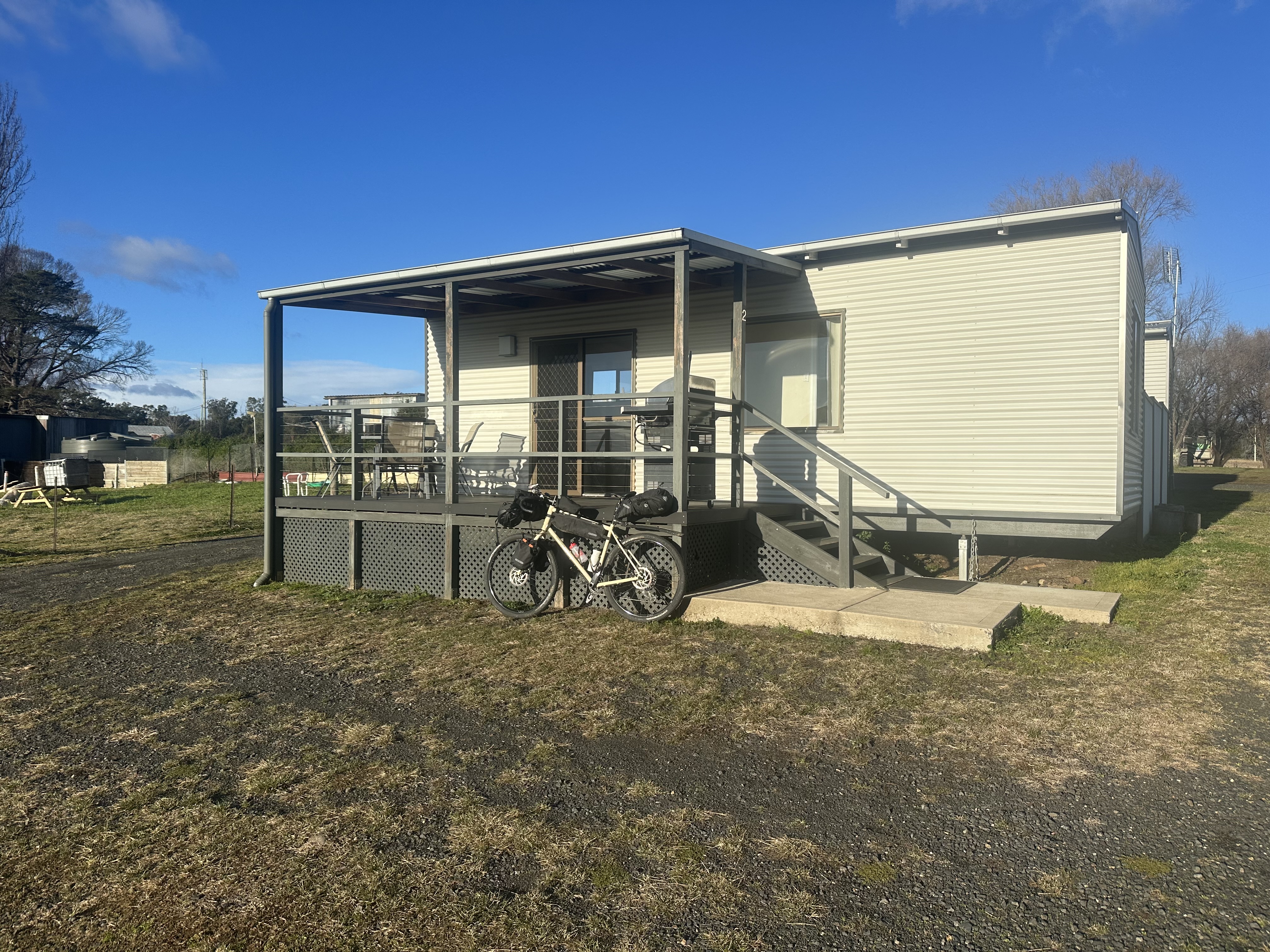


I can also recommend the cabins at Nerriga Hotel. Quiet, well fitted out, and with sunset views these were a great place to spend the night.


We stopped at a few places places along the way for a refuel. Exeter General Store is recommended for breakfast. It also wouldn’t be an epic ride without a brewery stop, and the beer on offer at South Yeast Brewing in Nowra was a great refreshment at the end of Day 2.


